
Hobart Bluff Trail
Hobart Bluff is a 3 mile out and back trail mostly along the Pacific Crest Trail, ending in a great, rocky viewpoint. Same parking lot as the Soda Mountain Trail.
Driving
–This 35 minute drive starts south through town on Main Street/Siskiyou towards the University. Turn left on Ashland Street towards Interstate 5. Don’t get on the Interstate! Go over it! The road sweeps to the right and you will continue towards, and past, Emigrant Lake. This becomes Green Springs Highway and heads uphill into the mountains. 15 minutes of winding road later you will see Soda Mountain Road on your right. Take that dirt road for 10 minutes through a cluster of mountain homes and pull off in the big clearing underneath the massive poser line towers. On the left will be a small sign that says Hobart Bluff.
Parking
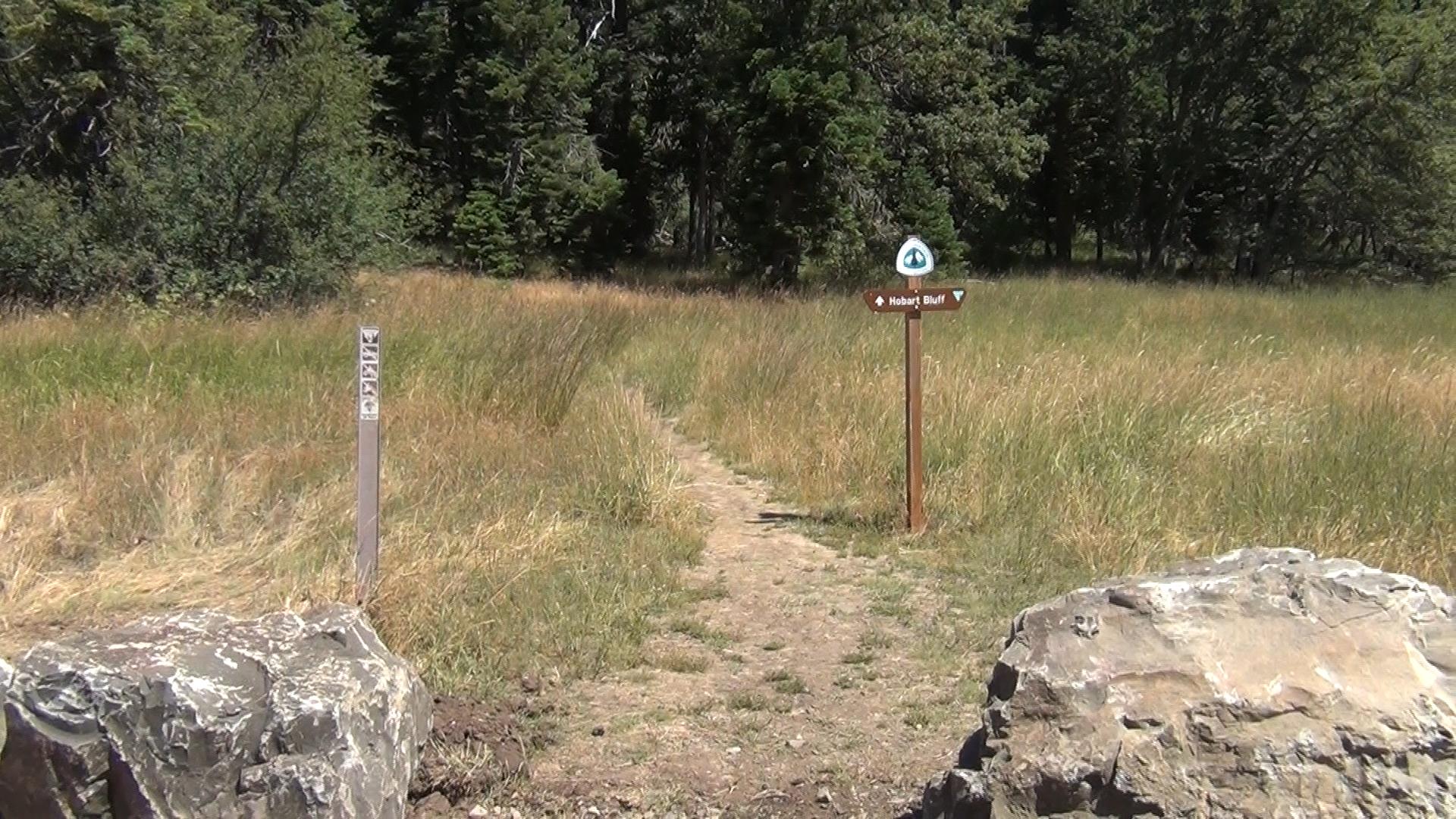
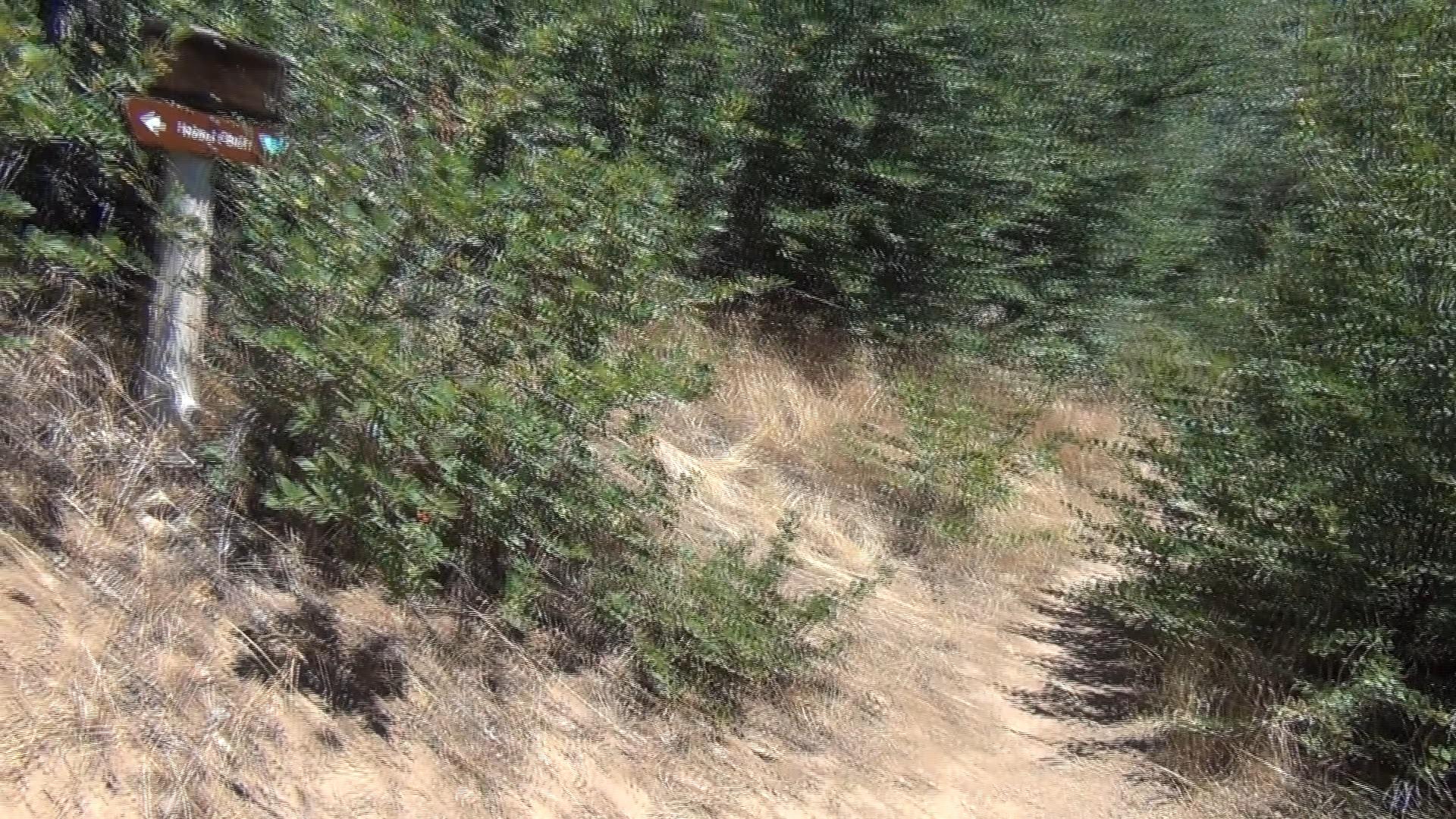
– There is a boulder lined lot for a dozen cars, but ample pull off parking as well. If you look to your right you’ll see a sign for the PCT coming in because the beginning of Hobart Bluff is along the PCT.
The Trail
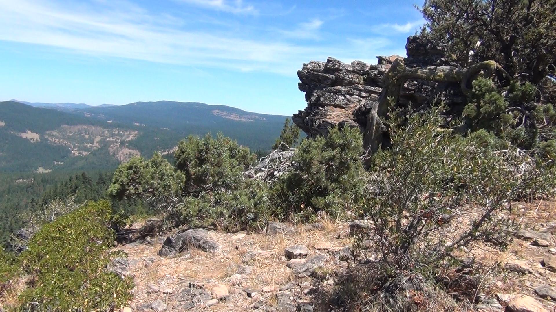
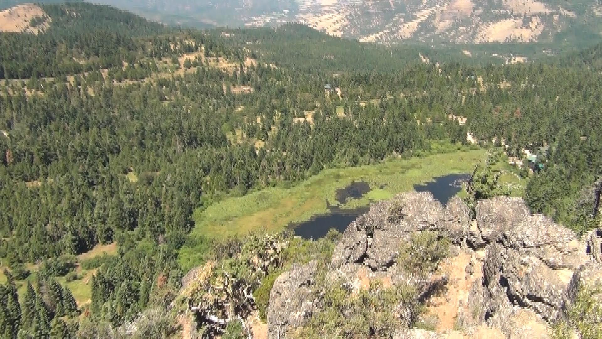
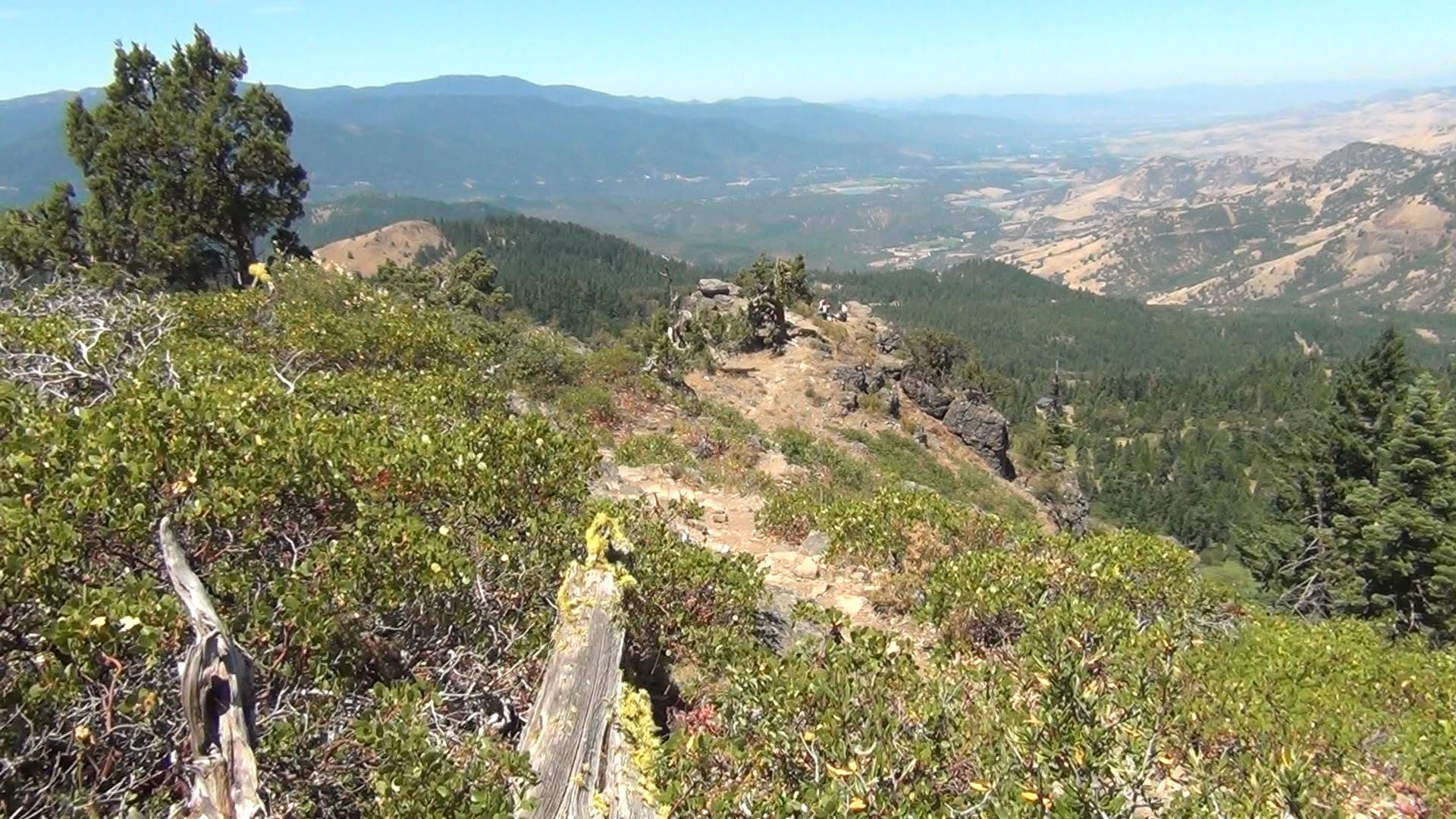
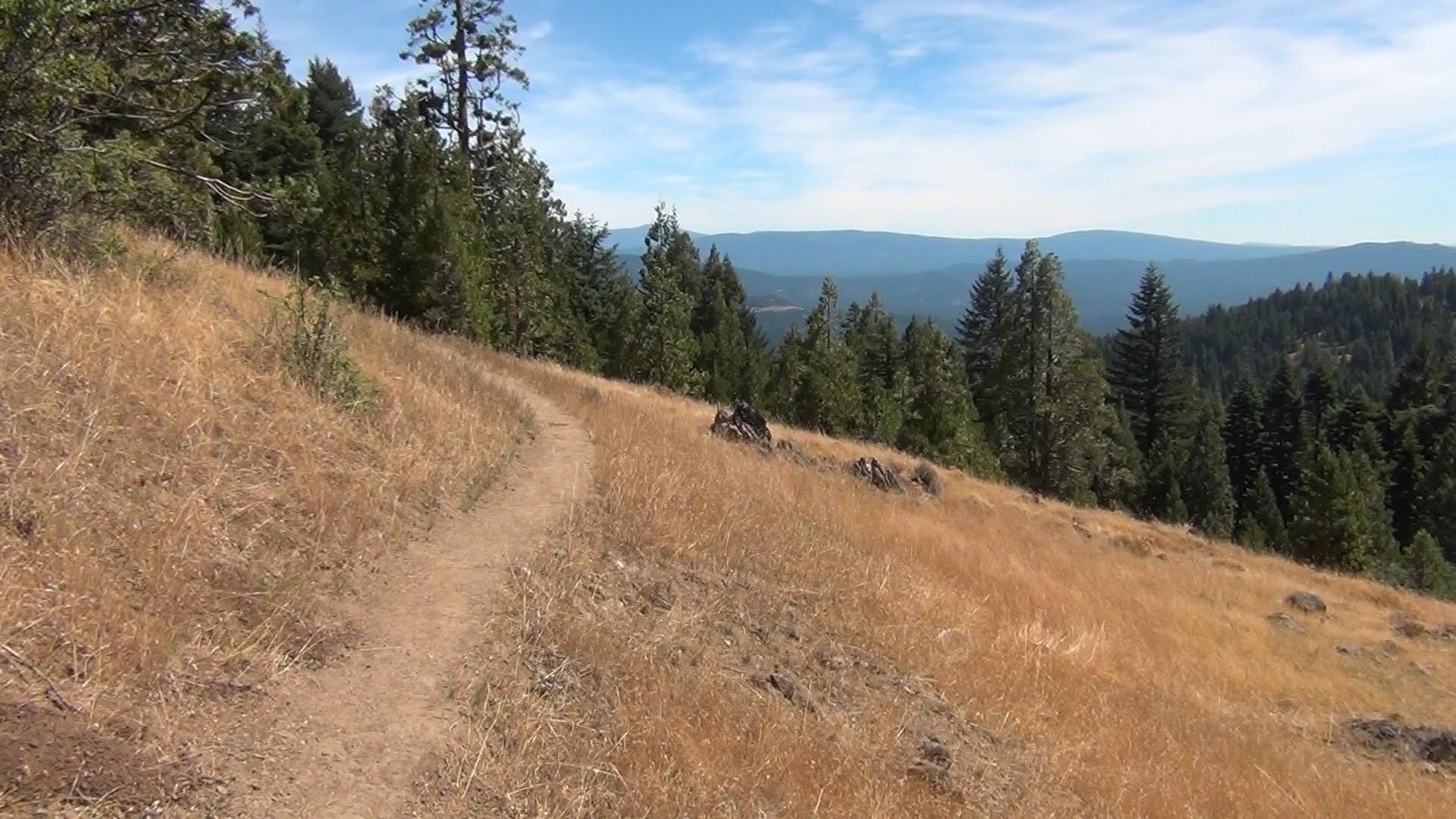
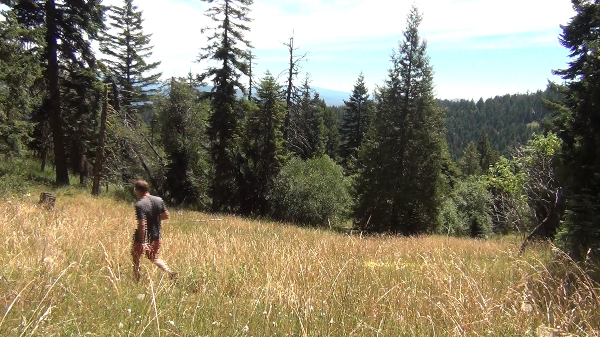
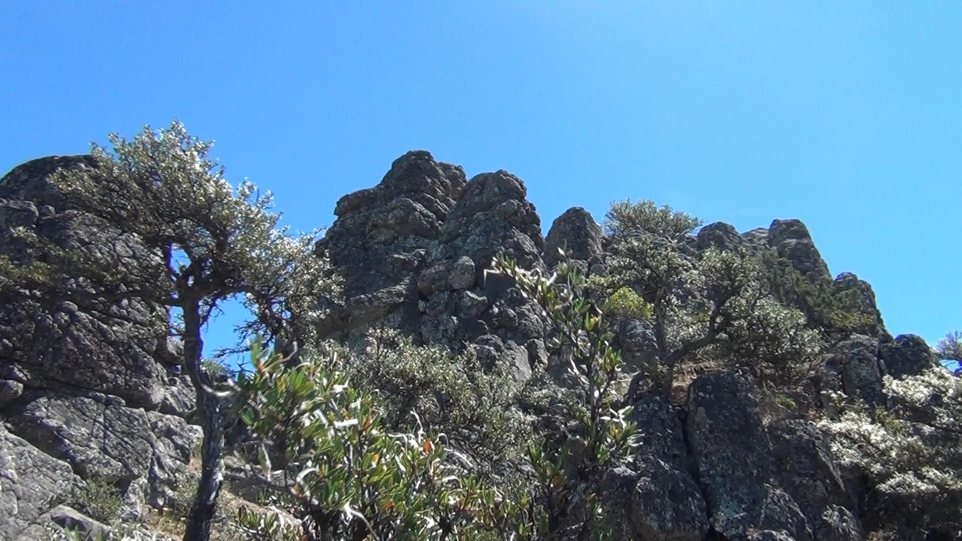
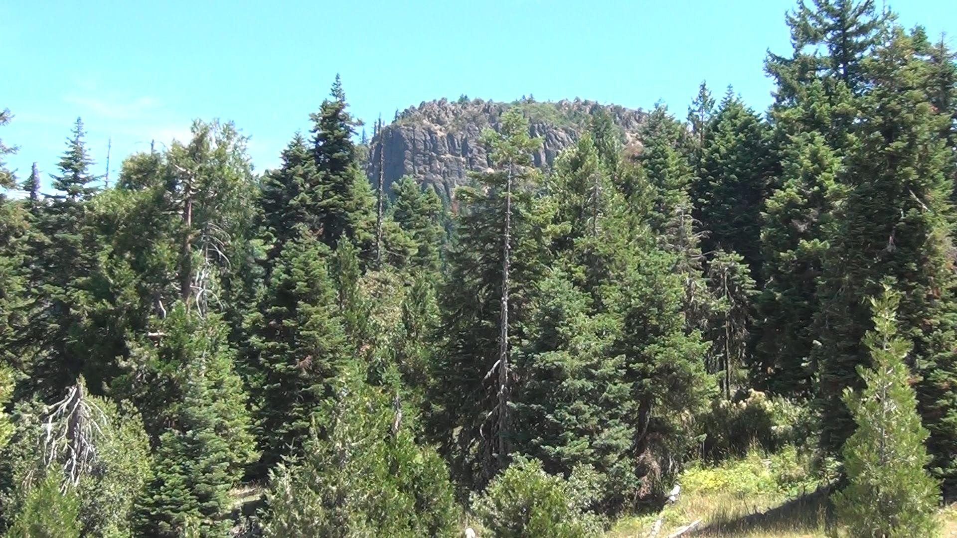
– It’s a great mountain trail for a mile and that’s because you’re sharing the Pacific Crest Trail. There will then be a trail, marked with a smaller wooden sign, up to your left to Hobart Bluff. A quick half mile uphill will get you to Hobart Bluff, which isn’t really the summit of the mountain, but an interesting rocky outcropping overlooking algae-filled Hobart Lake. Your 360 degree view gets Mt. Shasta, Mt. Ashland, and Mt. McLaughlin. Sit on a rock, eat a sandwich, check out the view, and come on back.
What is soda mountain road like to Hobart bluff
Rocks make great picnic tables!