
Mt McLoughlin Trail
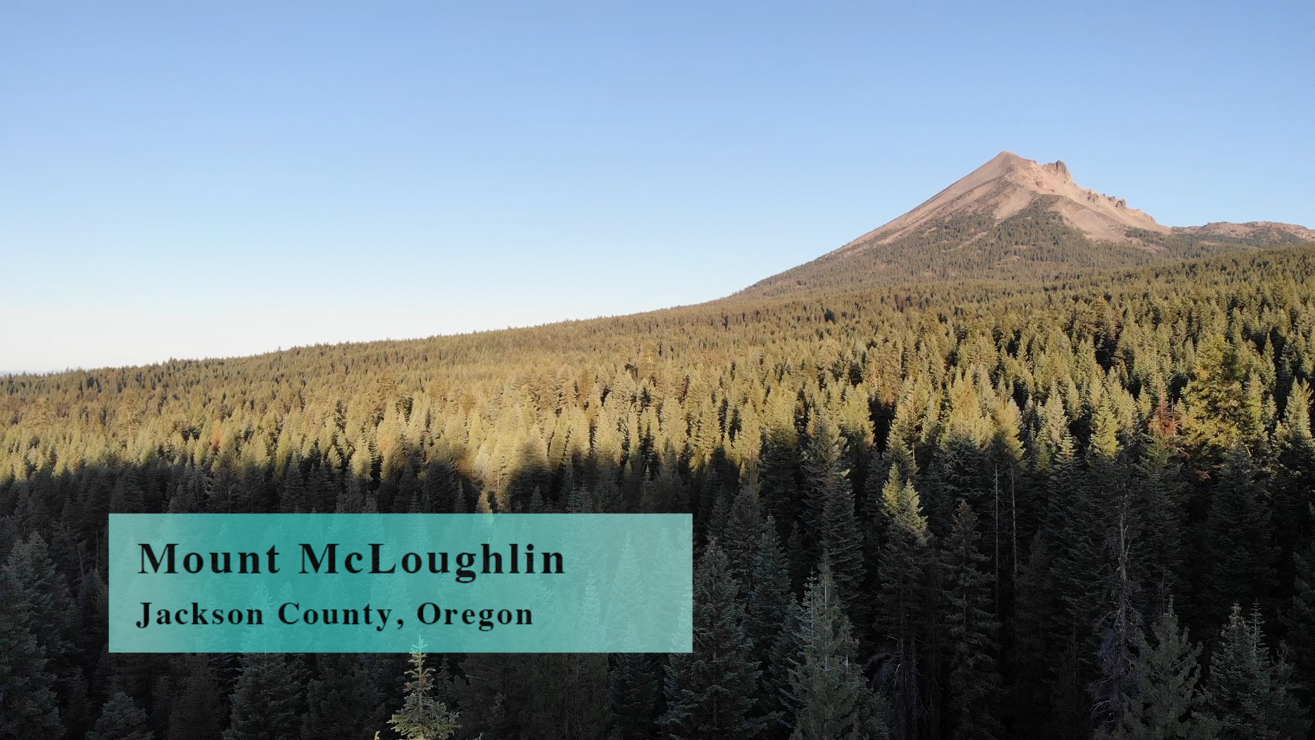
Mt. McLoughlin Trail is a 10 mile out and back trail with 4000′ of elevation gain to the summit of… wait for it… that’s right – Mt. McLoughlin.
Driving
– From Ashland Plaza head north out of town on Siskiyou or Main Street. Turn right on Valley View Road to get on Interstate 5 north toward Medford. Four exits later turn right on Crater Lake Road – Route 62 – toward Central Point and route 140. You will curve left through Medford’s beautiful Big Box Store Canyon. Note the deep blues of Best Buy and the Subtle oranges of Hobby Lobby.
Turn right on Route 1540 toward Lake of the Woods and Klamath Falls. Settle in for at least 30 minutes of pretty nice Oregon highway driving. When you see Lake of the Woods on your right, turn left on Fourmile Lake Road.
A couple miles on that to your first intersection and turn left. Then, in a couple hundred yards – Mt McLoughlin trail head parking on your right.
Parking
– There are dozens of spots at this State Forest parking area. A metal post with a slot in it for envelopes stands next to the pit toilet restrooms, but, as of Sept. 2019 there were no envelopes or payment instruction. So… free parking… for now.
The Adventure
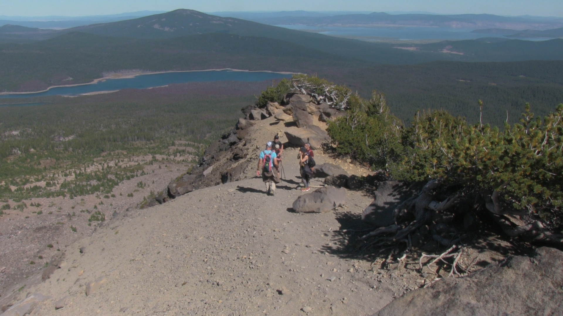
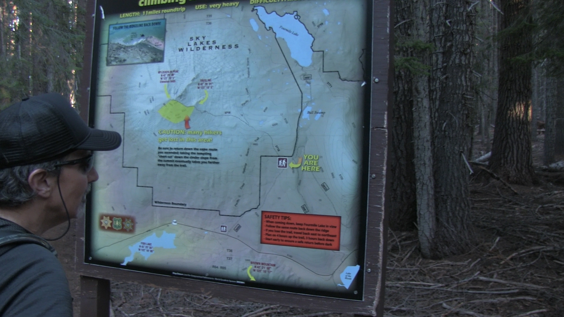
– First of all, if you are skiing this thing – good luck psycho – we have nothing more to say to each other. Second of all, July is a great month to feed the local wildlife. No need for seeds or apples, just wear shorts and a tank top and every mosquito in the county will feast upon you. September is nicer. Third of all, don’t get lazy on your way down. Follow the white dots, keep Fourmile Lake in your eye-line to your left, and stay on the ridge as long as you can. Lazy people routinely cheat downhill too early and have to bushwhack for hours back to their cars.
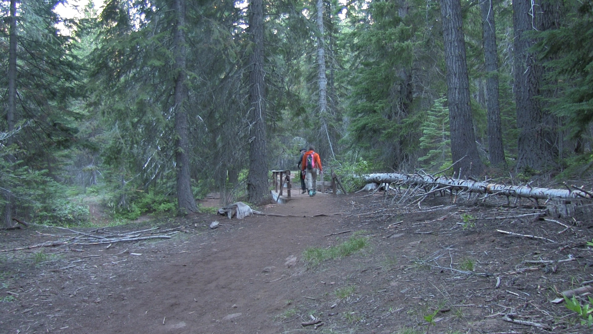
There are pit toilets but no water so I hope you brought some. Check the giant map board in the parking lot one last time then turn around and find the unmarked trail head at the end of the parking lot. It’s obvious, but seems like a nice sign wouldn’t bankrupt the Forest Service.
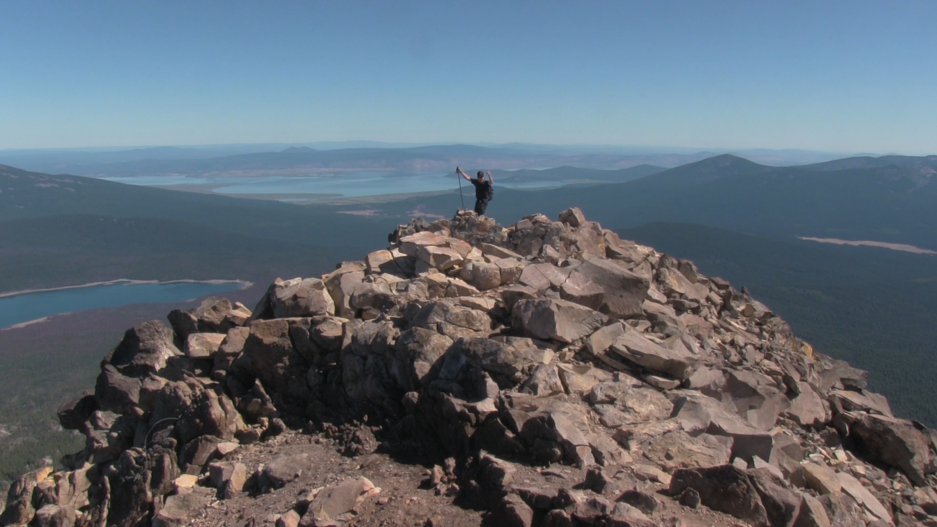
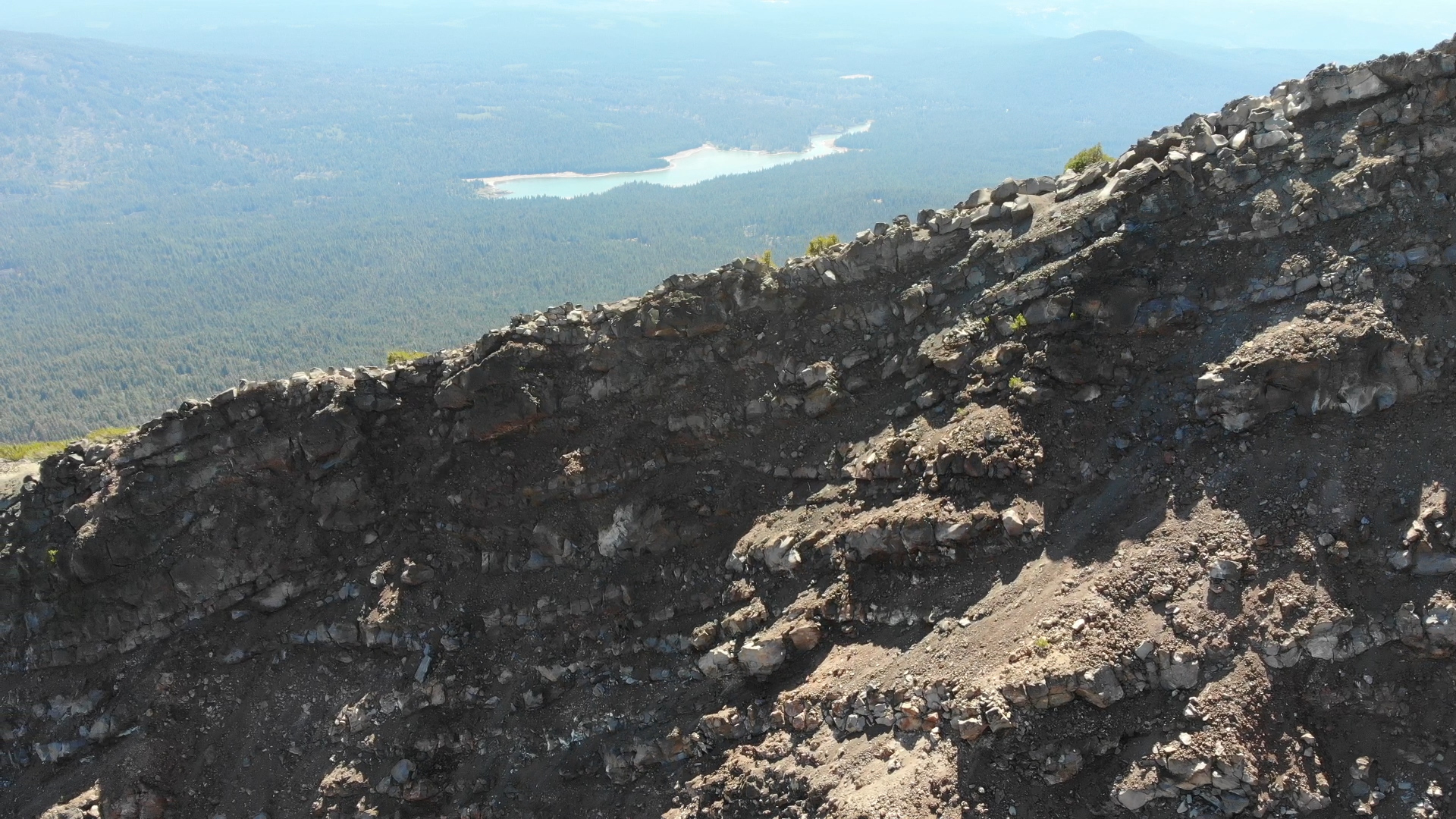
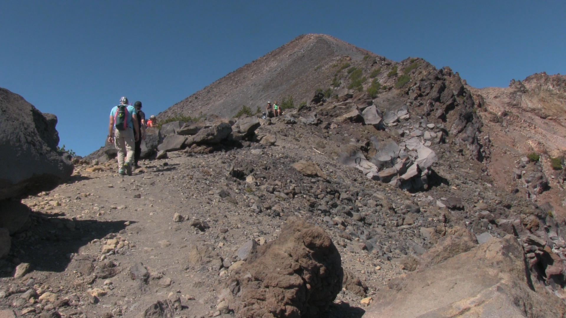
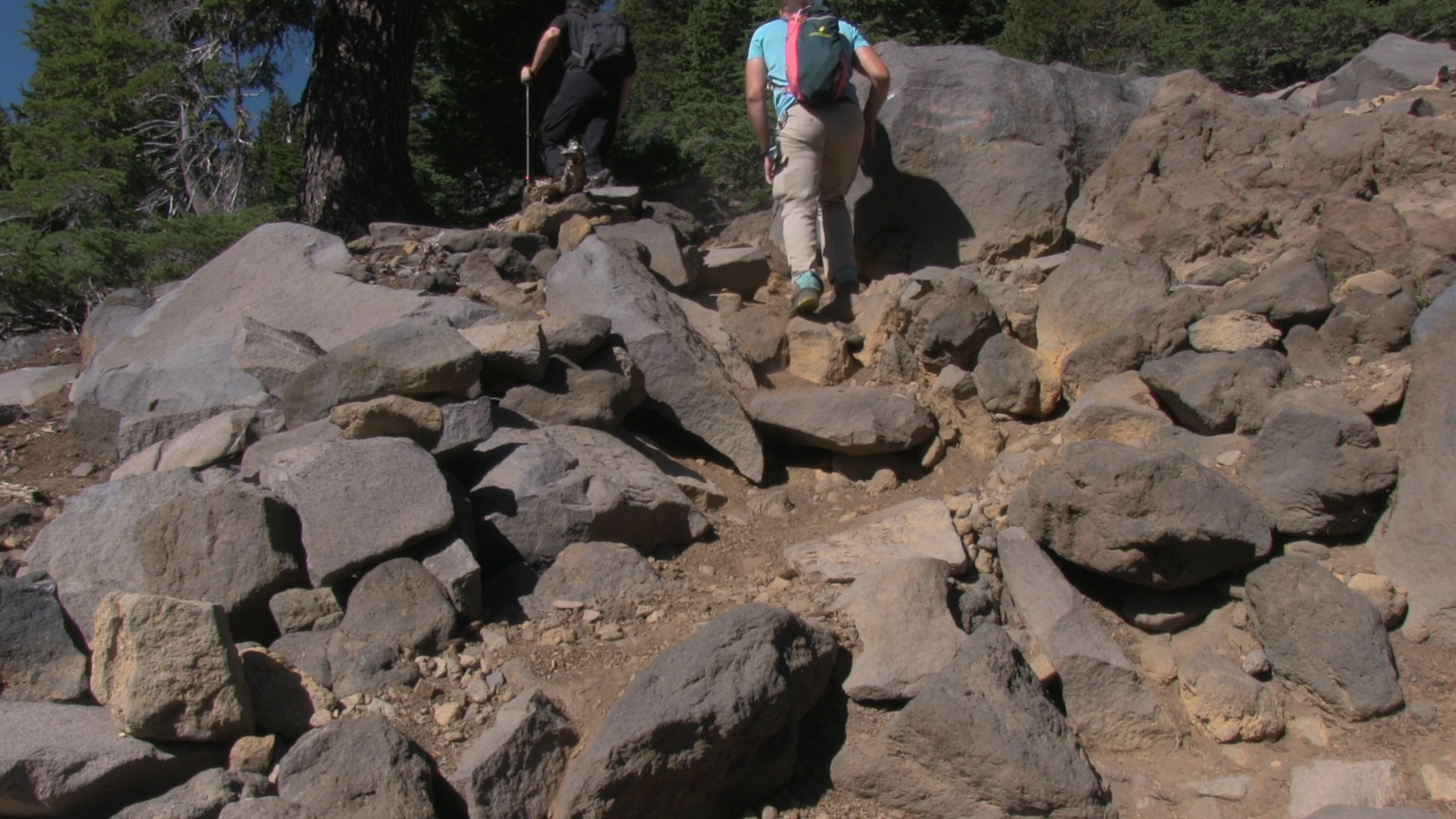
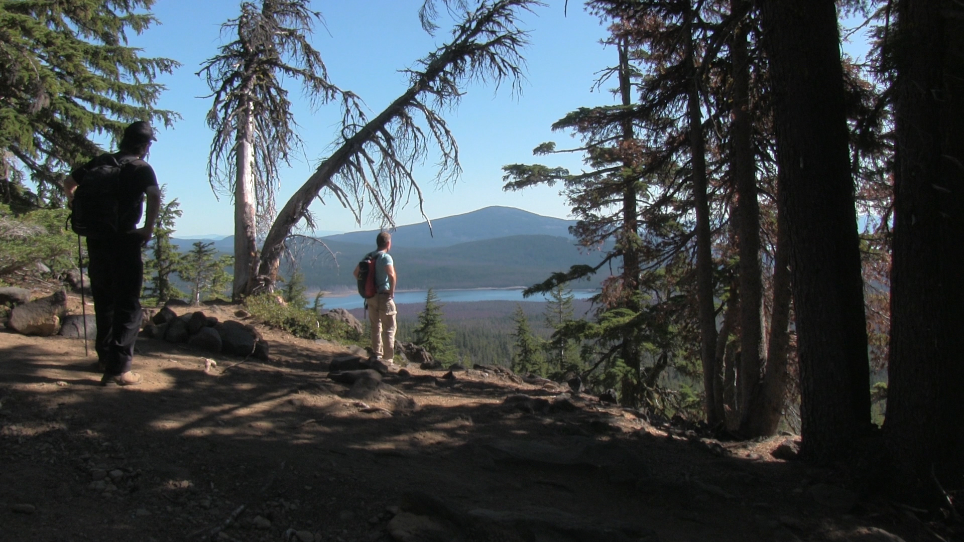
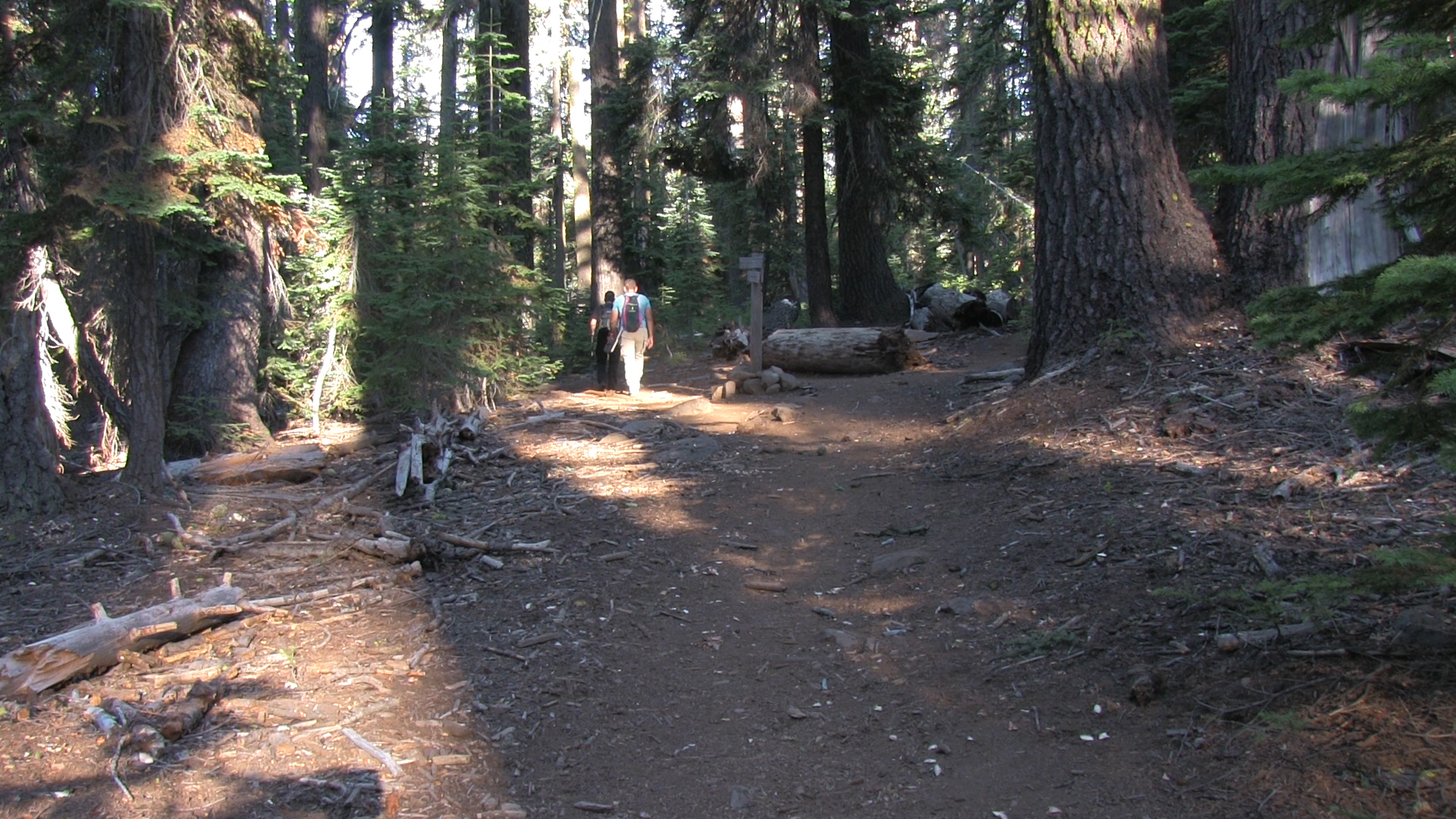
A smooth dirt uphill trail for the first 2 miles as the PCT joins the trail for a quarter mile and then heads away to the north. The 3rd mile starts to fill with rocks. The annoying size – like large raccoons – and spaced annoyingly – like carny worker teeth. But you get your first great view of Fourmile Lake. Then, mile 4 – 4 1/2 you crest at the ridge and can see the summit of Mt McLoughlin and the caldera below. It’s freakin awesome.
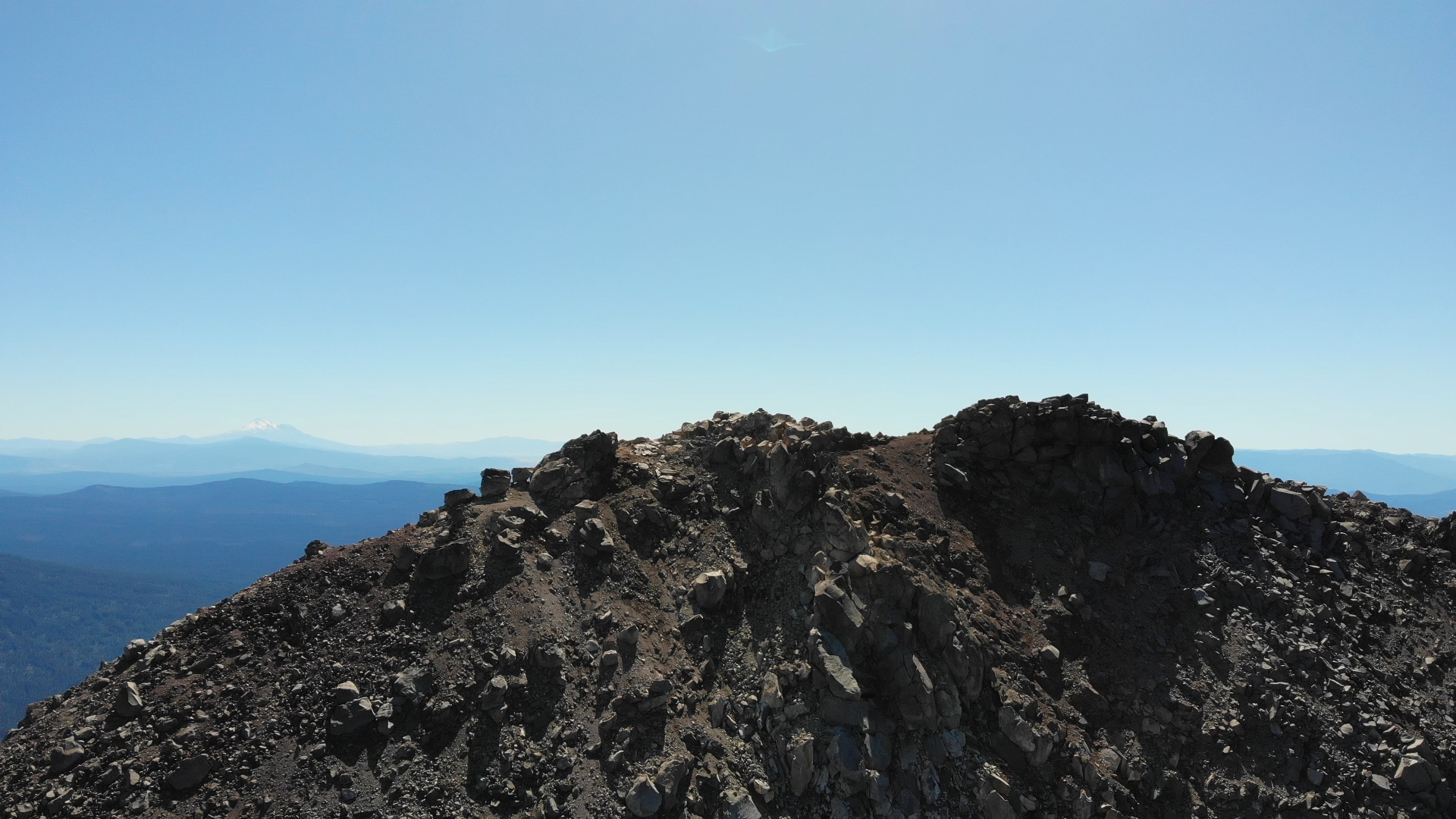
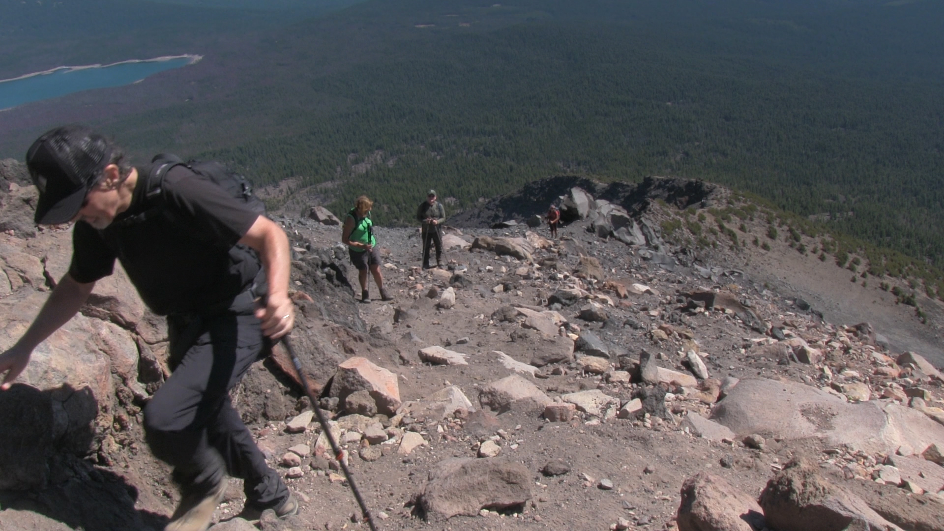
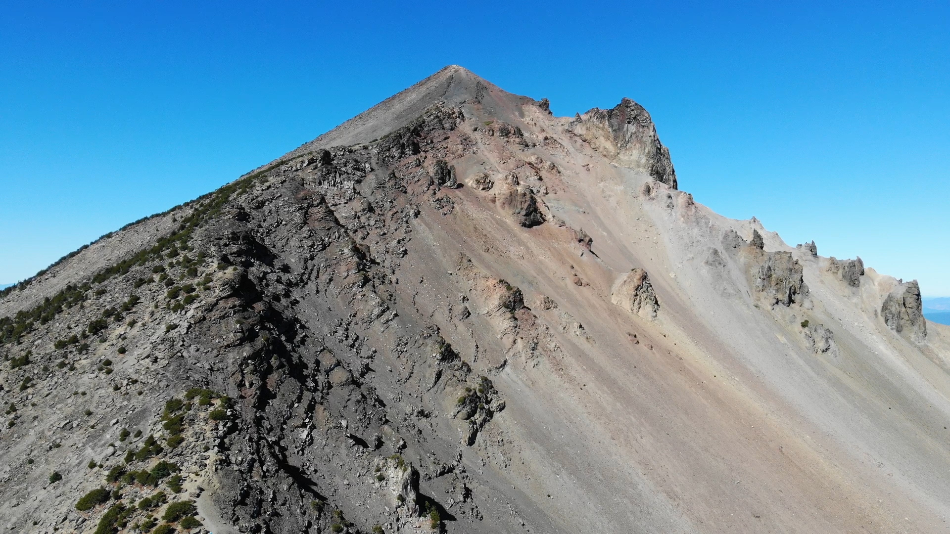
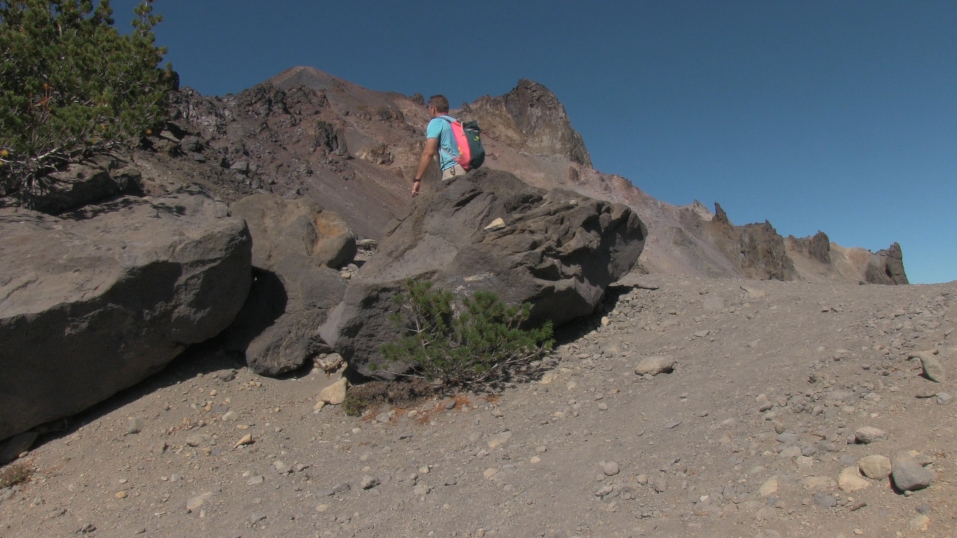
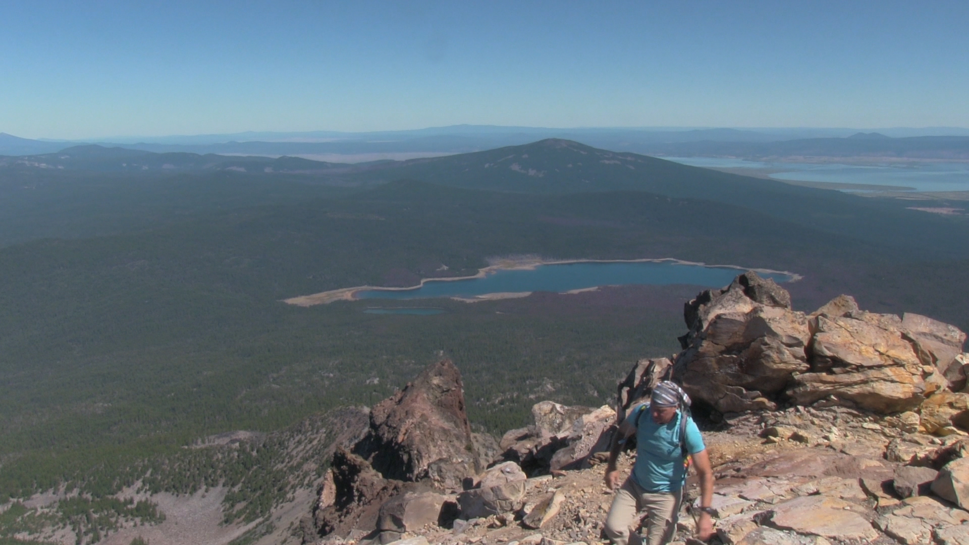
But back to work, the trail now becomes harder to find. You are basically on the very obvious ridge to the summit, but the obvious best route is hard to determine. Follow the painted white dots. They are not always easy to see. Do what you need to do going up. You see your destination clearly so scramble a little and watch for loose rocks and slippery scree. Try not to kick too much of the hillside down at your friends below you.
The summit is a double peaked mini saddle. An ammo box with notebooks to write in on one summit and I believe the true summit is the other peak. I hope it’s a clear day for you because you can see it all – Russia, China, Florida – all of America’s greatest frenemies.
Now the downhill. Seems like a no-brainer to follow the dots back down the same way you came up. But… it’s more tempting to veer downhill to your right than you’d think. You’ll be fine, just don’t get cocky or lazy. The downhill is slow because of the rocks so when a normal downhill is half the time of a normal uphill, this downhill is exhaustingly close to the uphill time. That makes the last 3 miles feel soooo long.