
Rocky Point
Rocky Point
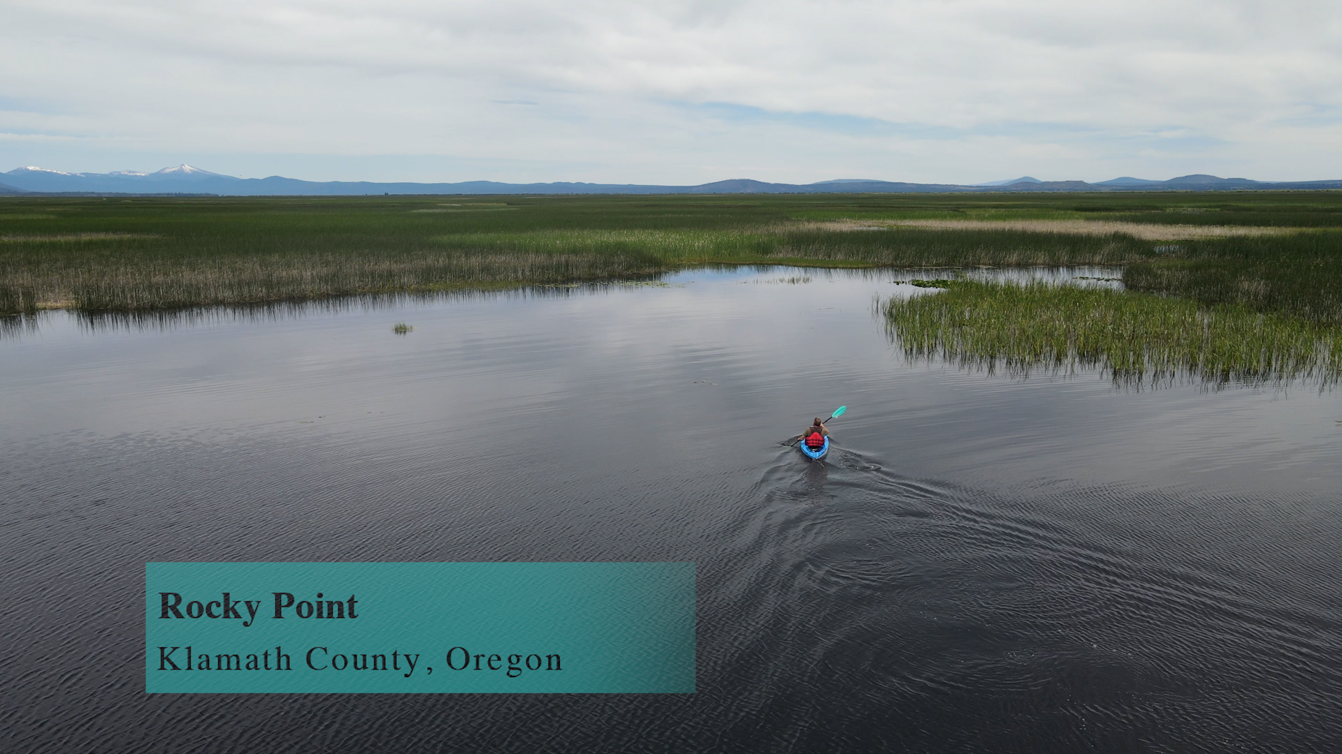
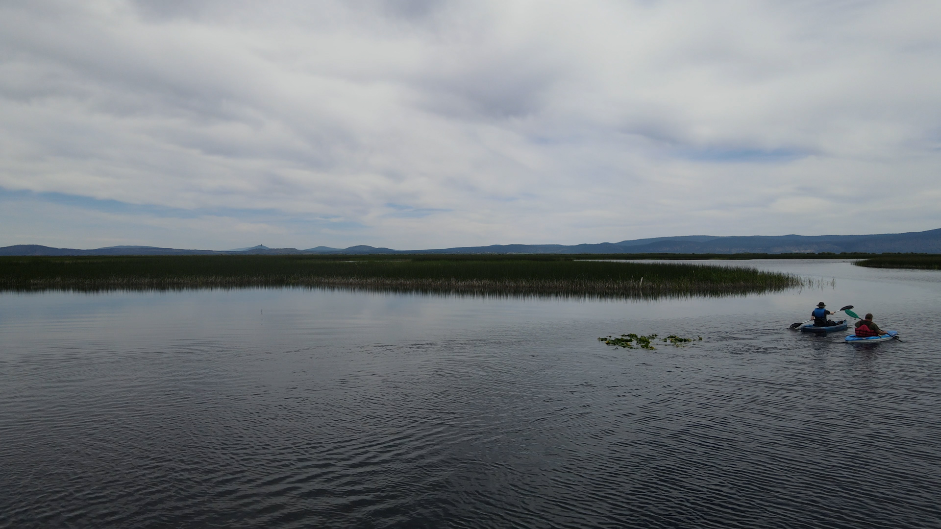
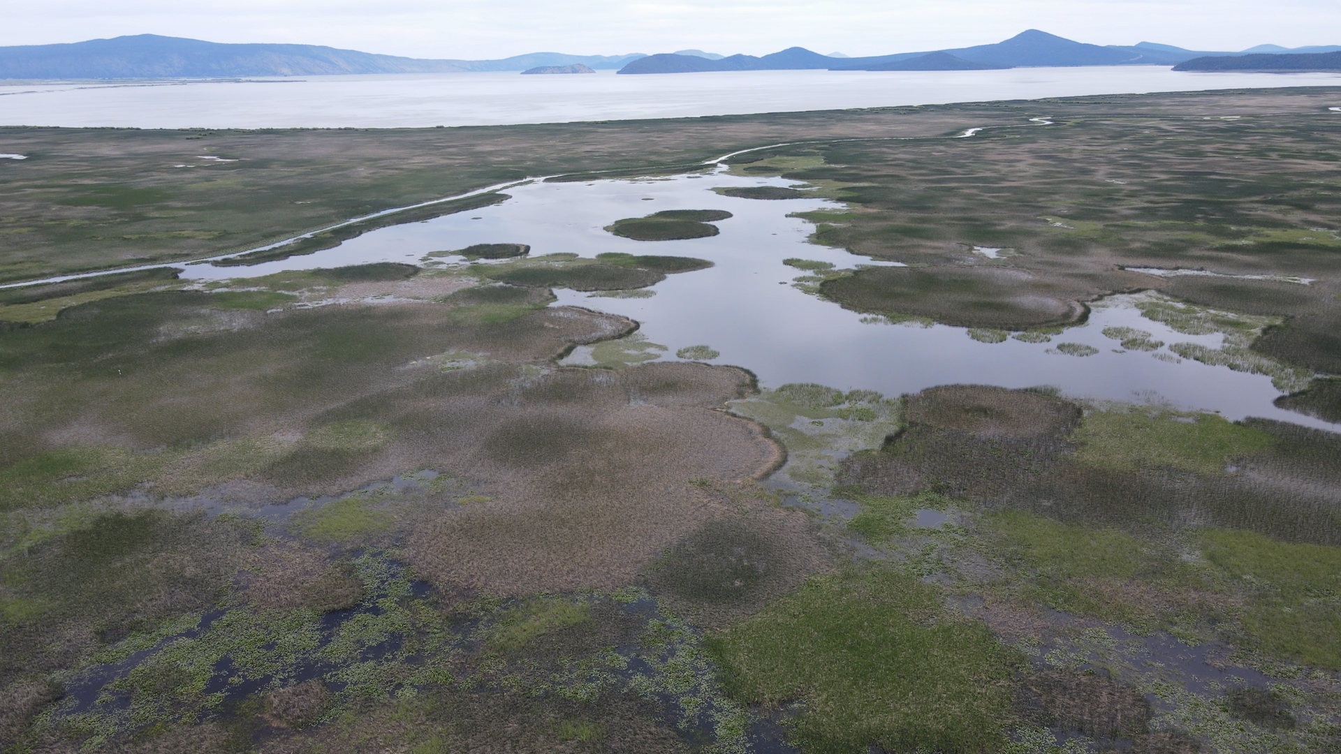
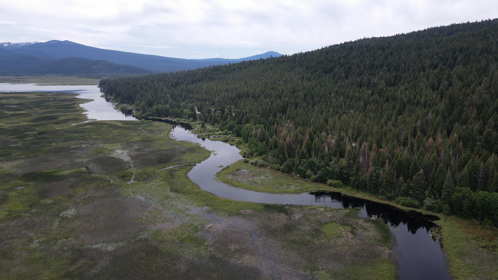
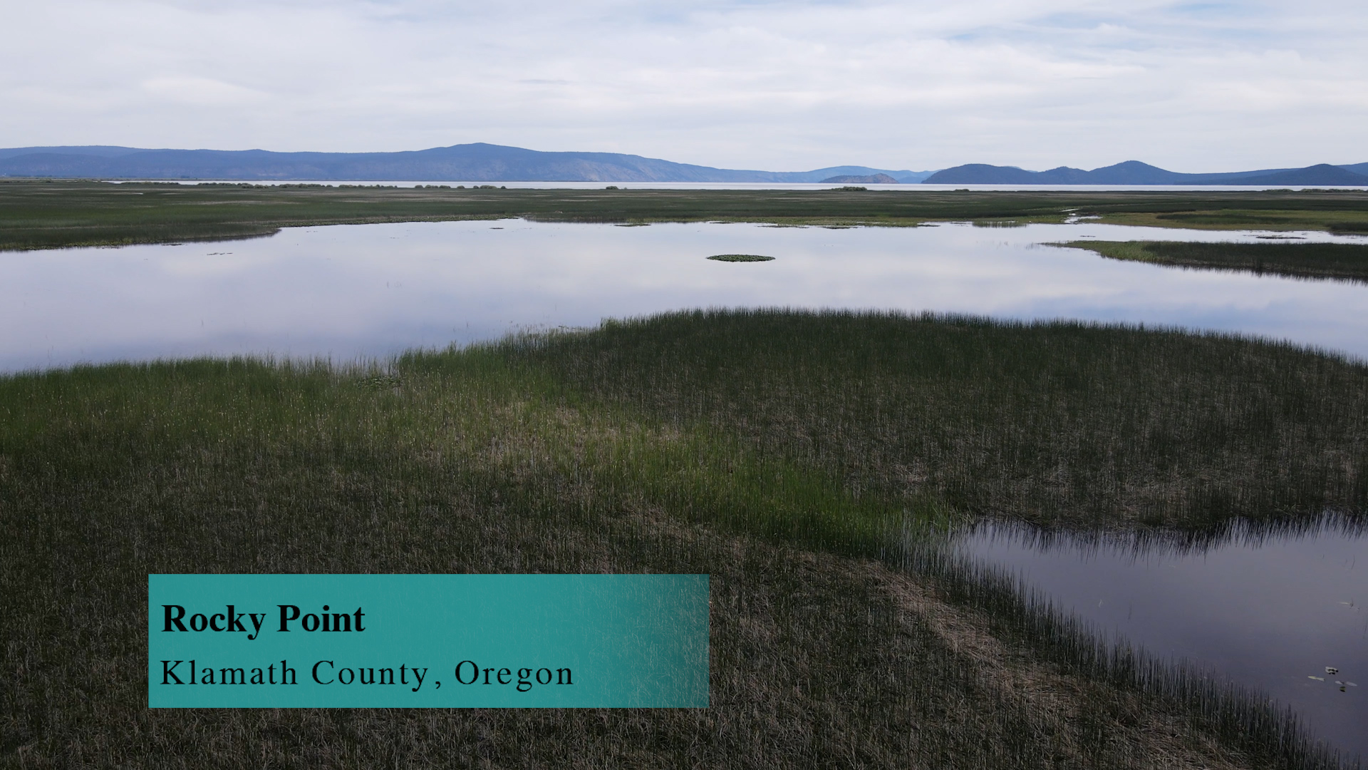
Rocky Point is a 10 mile web of kayak and canoe trails at the top of Klamath Lake.
Driving
– It’s a 70 minute drive from Ashland along Dead Indian Memorial Road or 70 minutes from Medford along Route 140.
From exit 14 on I-5 you would head west on Ashland Street and take the left turn just before the golf course on Dead Indian Memorial Road. That winds for 34 miles past Howard Prarie Lake, past Elk Creek, past Lake of the Woods and hits Route 140. Turn right on 140 towards Klamath Falls and in 6 miles you will turn left on West Side Road but look for the large green “Rocky Point” sign. 4 miles along that and keep your eyes open for the very small “Rocky Point Boat Launch” sign where you will turn right. Quickly there will be another small sign pointing you to turn right, then a One Way sign directing you to the public launch. From exit 33 on I-5 go East on Crater Lake Drive for 13 miles until you intersect with Route 140. Turn right to take that east towards Klamath Falls. You are on this for about 44 miles – albeit mostly straighter, faster miles so it’s about the same as 34 windy Dead Indian Memorial miles. Then, same as above, you will turn left at the “Rocky Point” sign. Turn right, turn left… boat launch.
Parking
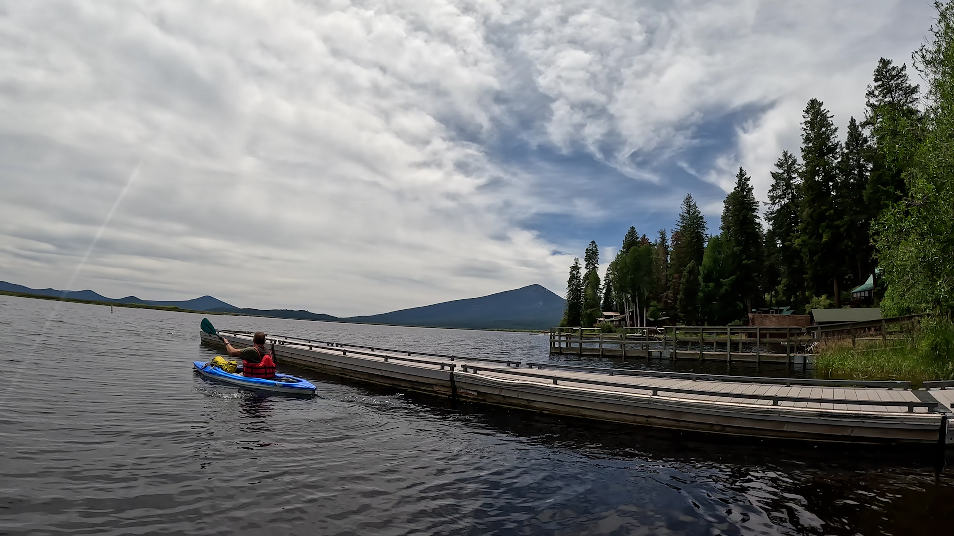
– About 8 spots at this boat dock. Typical for a small high mountain lake. 50 yards further on is the Rocky Point Resort. If you need to rent any gear or buy snacks and fishing tackle you can find much more parking there. It is private so it is there rules. Not sure how much you need to buy to use their parking and facilities. I have found that fun, nice people get more opportunities than weird, scowling, selfish people.
Paddling
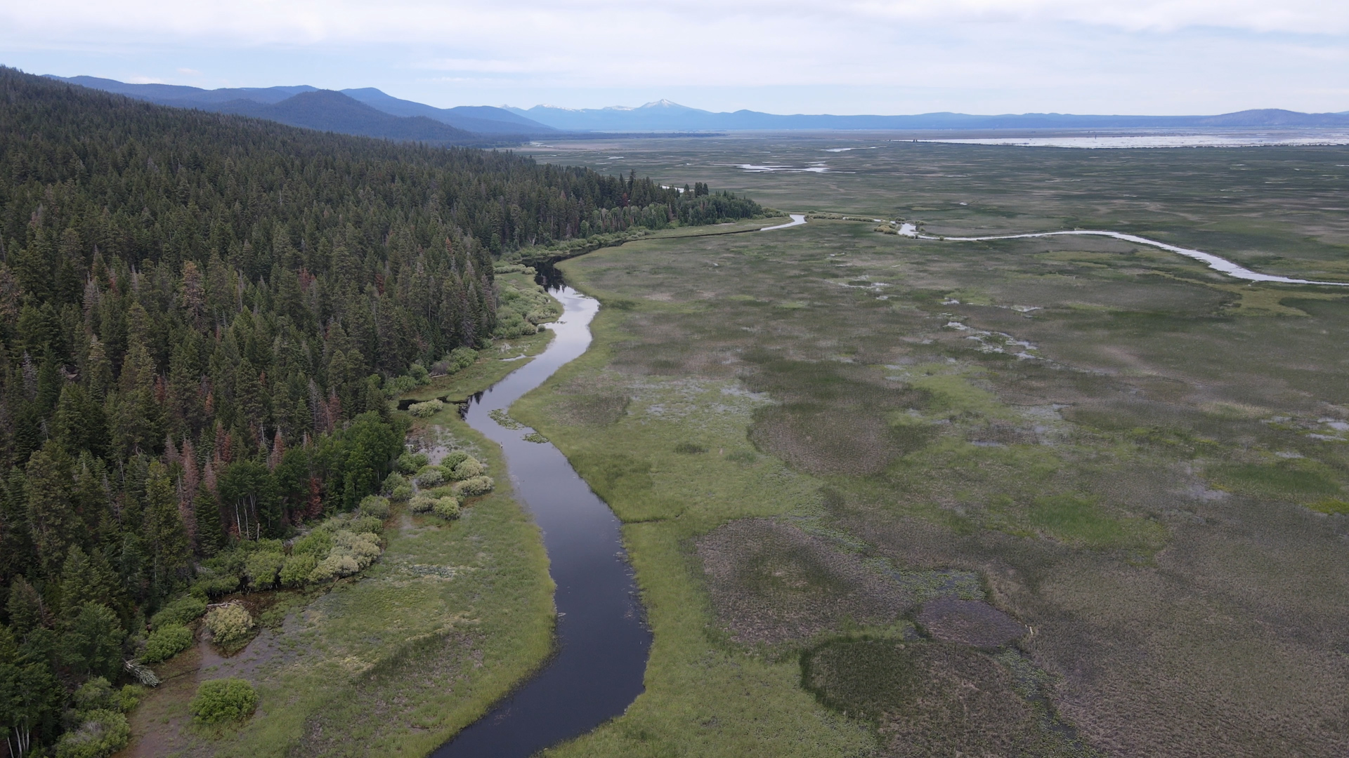
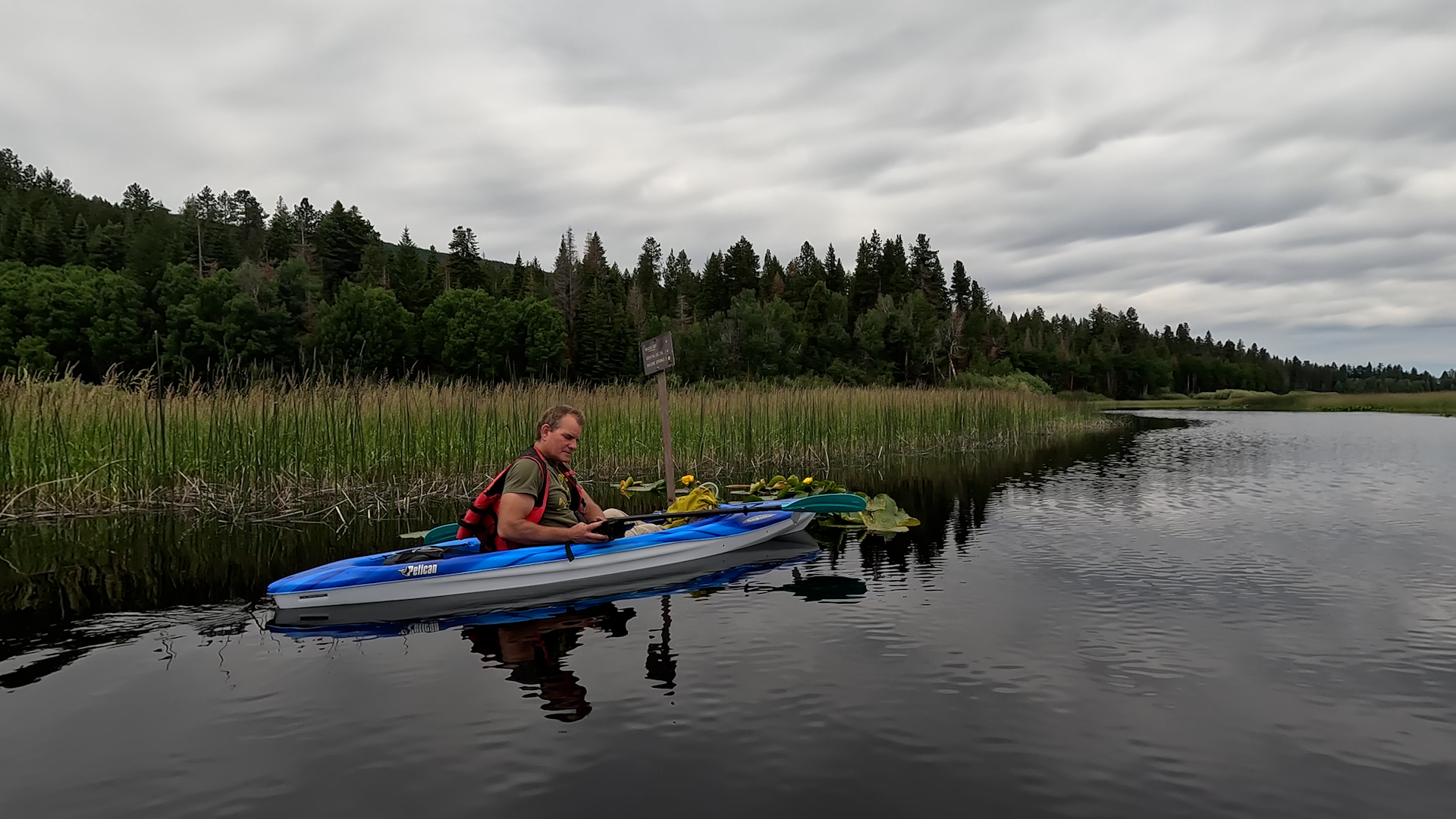
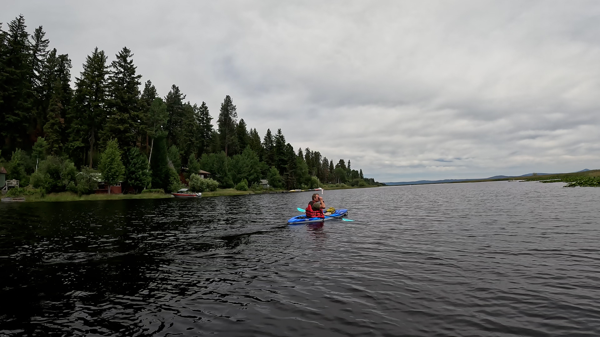
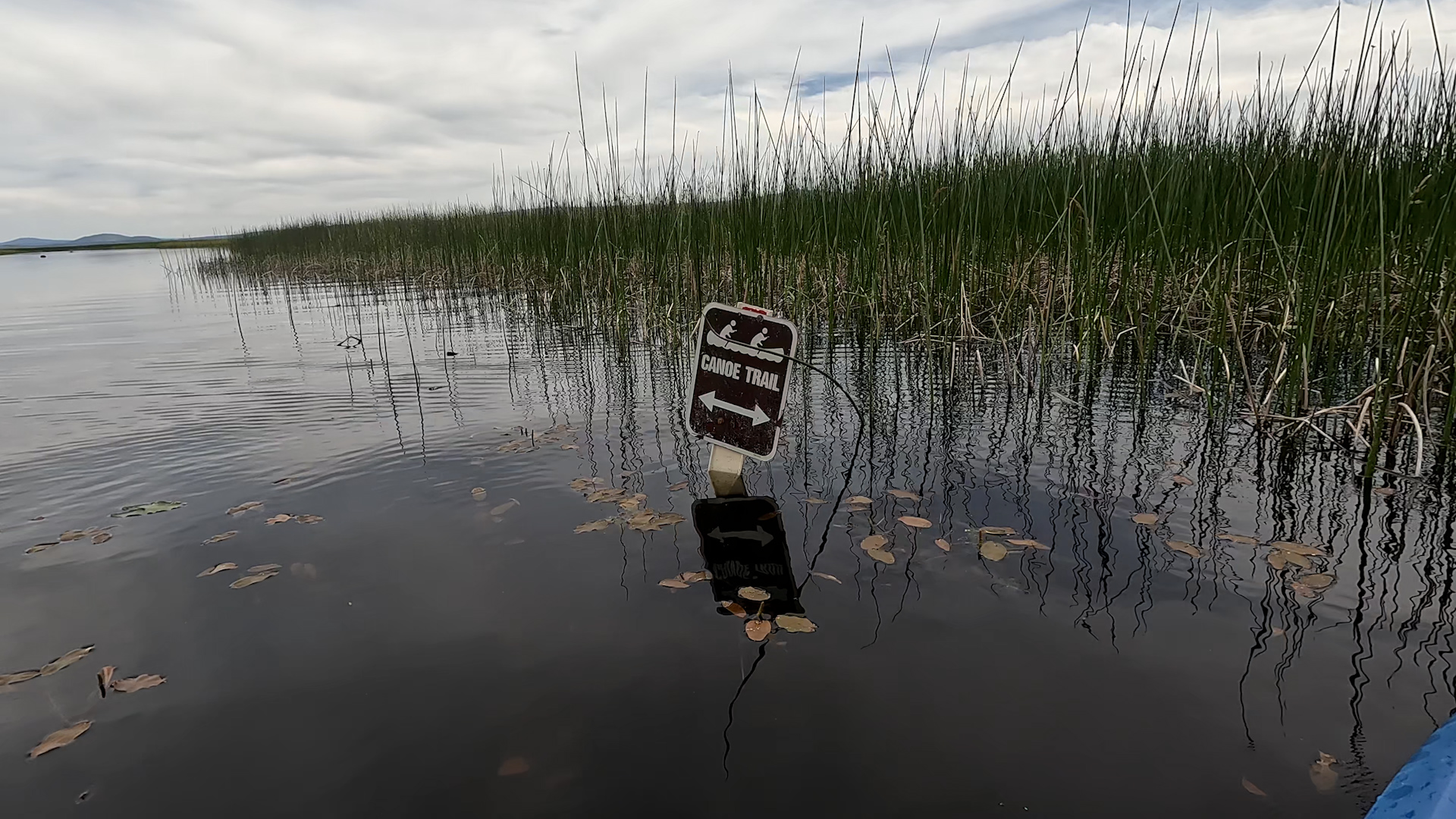
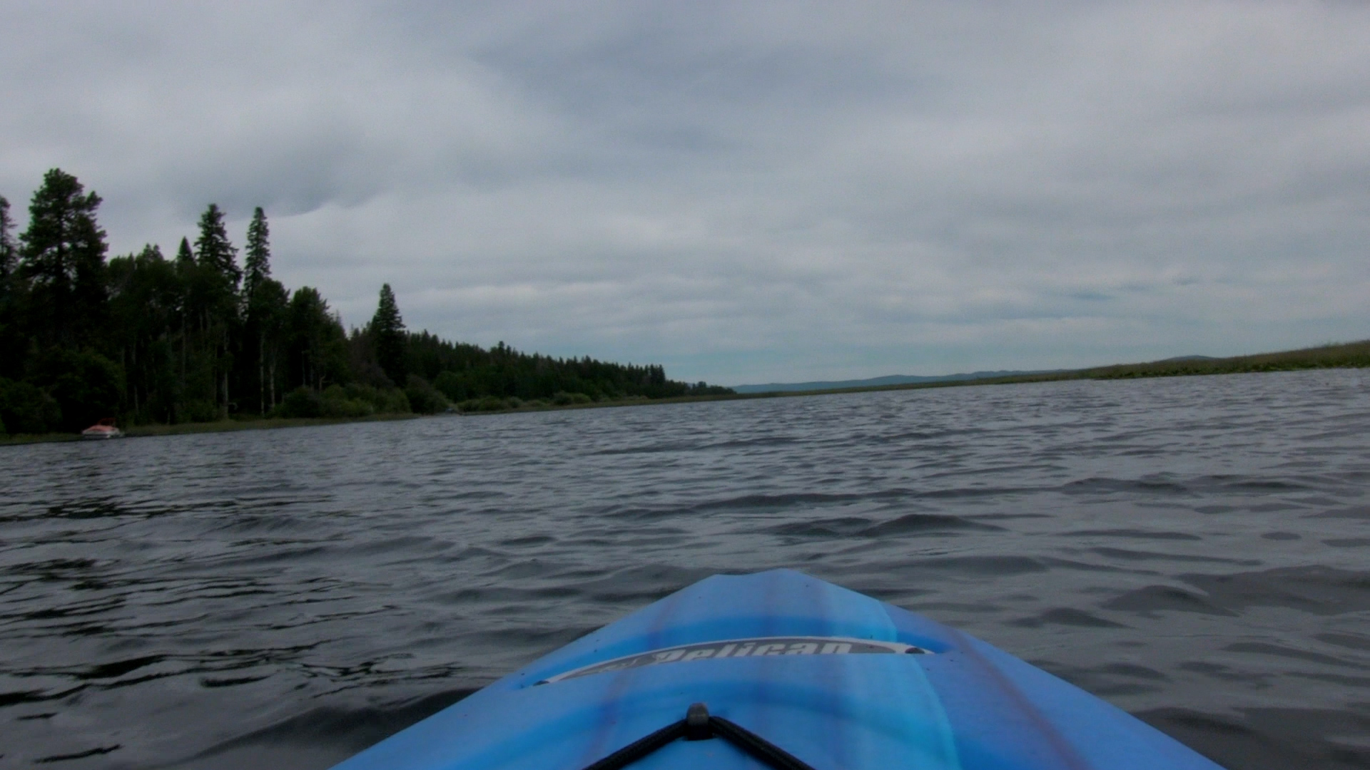
– From the docks you could turn right and head out into Pelican Bay. It’s bigger water and maybe better fishing but I’m selling this as a serene, paddling experience so turn left. For the first 1 mile you will see cabins and the occasional power boat dock to your left but that ends and at the intersection – and even though these are “trails” cut into the grassy marshes, there are signed intersections – you can continue forward for 3 miles all the way to the Malone Springs boat launch or turn right. Right on the Wocus Cut takes you less than a mile to an open area that is a shallow small lake. At the far side there is a noticeable “trail” to the left that meets up with the original “trail” in about 1 mile. Right takes you for 2 miles along Crystal Creek until you reach Pelican Bay.
There is signage here and there but it’s more… fluid and occasionally takes a second look to find in the grasses.
Once you hit Pelican Bay, turn right and it’s about 1 mile back to your original boat dock. Definitely look at the map and find the route you think works best for you.
Boat Stuff
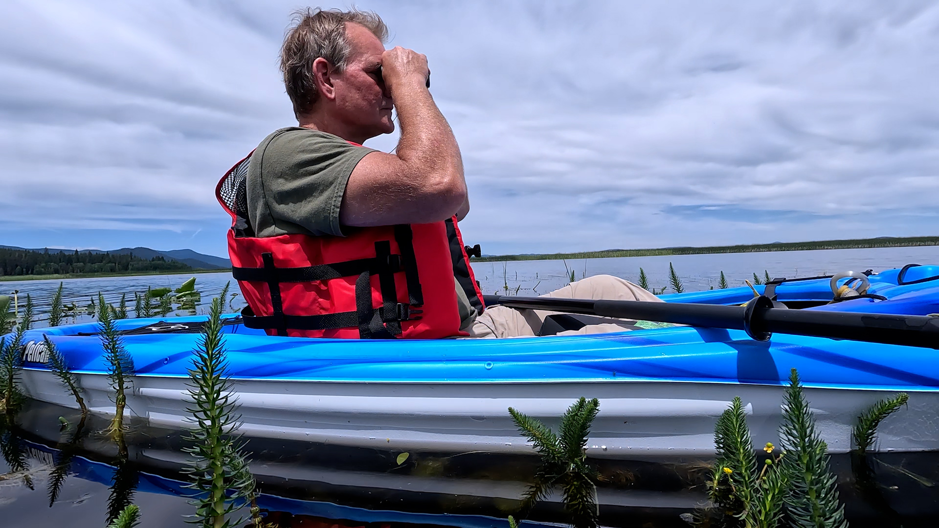
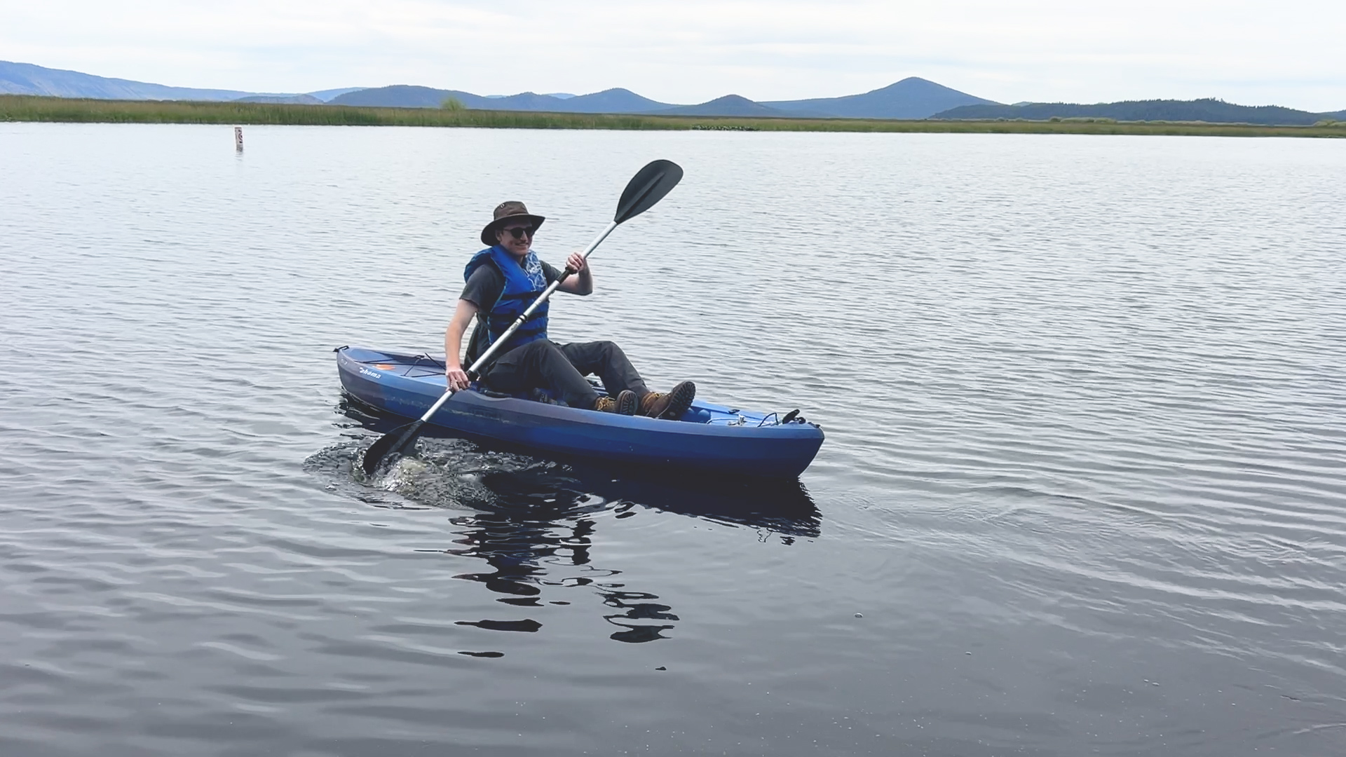
– Lifejacket, whistle, sunscreen, Oregon State Permit for boats 10′ and longer – that’s about it.