
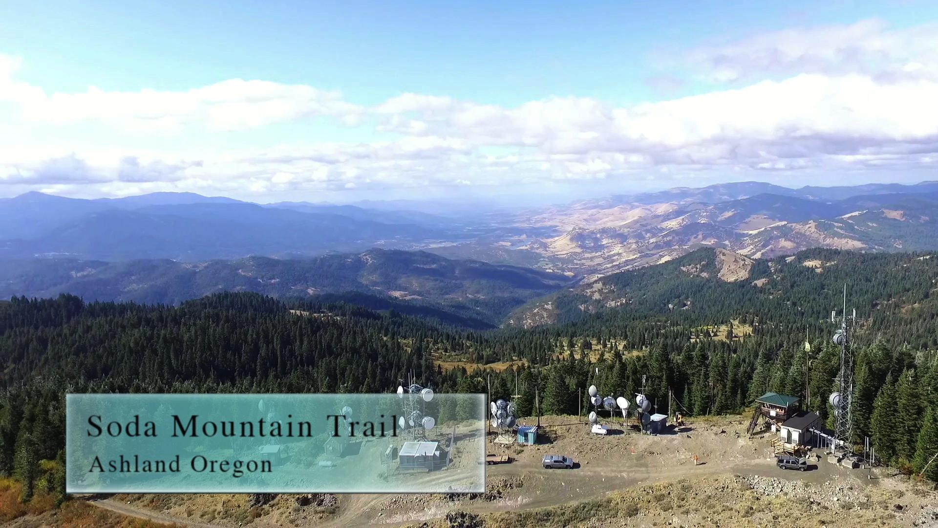
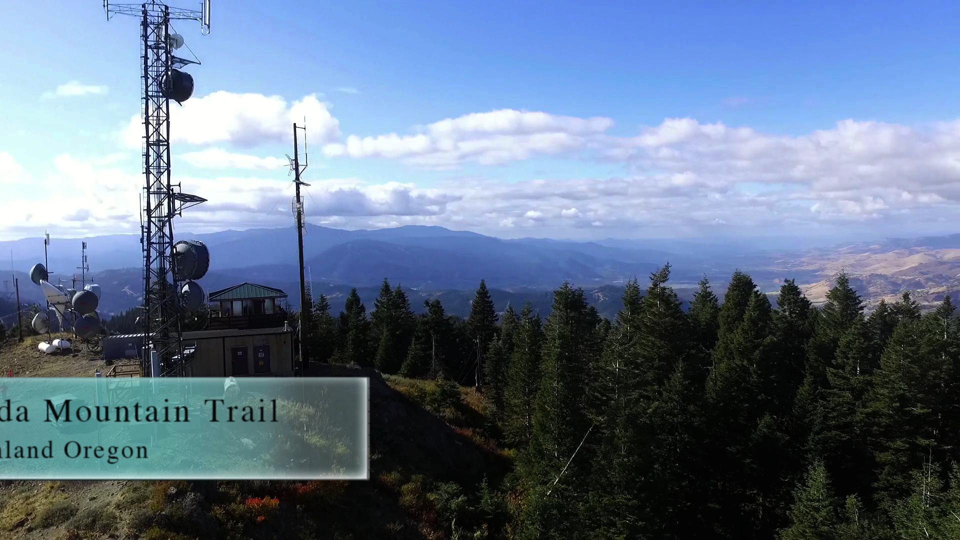
Soda Mountain Trail
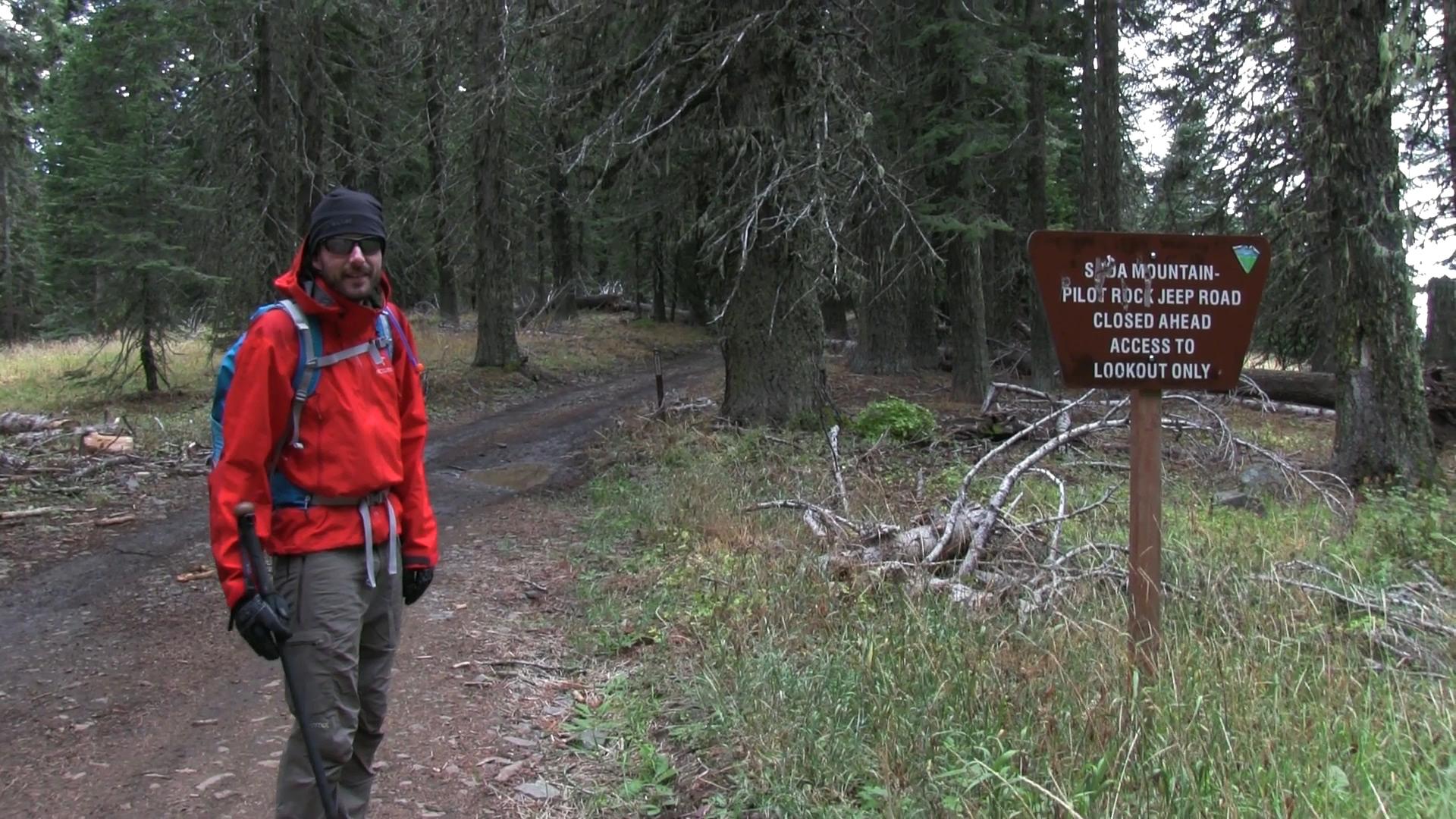
Soda Mountain Trail is 4 miles of mixed trail. Part PCT (nice) and part electrical tower access road (not nice). Shares a parking lot with the Hobart Bluff Trail.
Driving
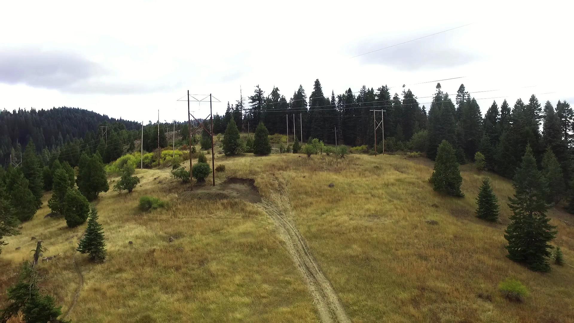
– This 35 minute drive starts south through town on Main Street/Siskiyou towards the University. Turn left on Ashland Street towards Interstate 5. Don’t get on the Interstate! Go over it! The road sweeps to the right and you will continue towards, and past, Emigrant Lake. This becomes Green Springs Highway and heads uphill into the mountains. 15 minutes of winding road later you will see Soda Mountain Road on your right. Take that dirt road for 10 minutes through a cluster of mountain homes and pull off in the big clearing underneath the massive power line towers.
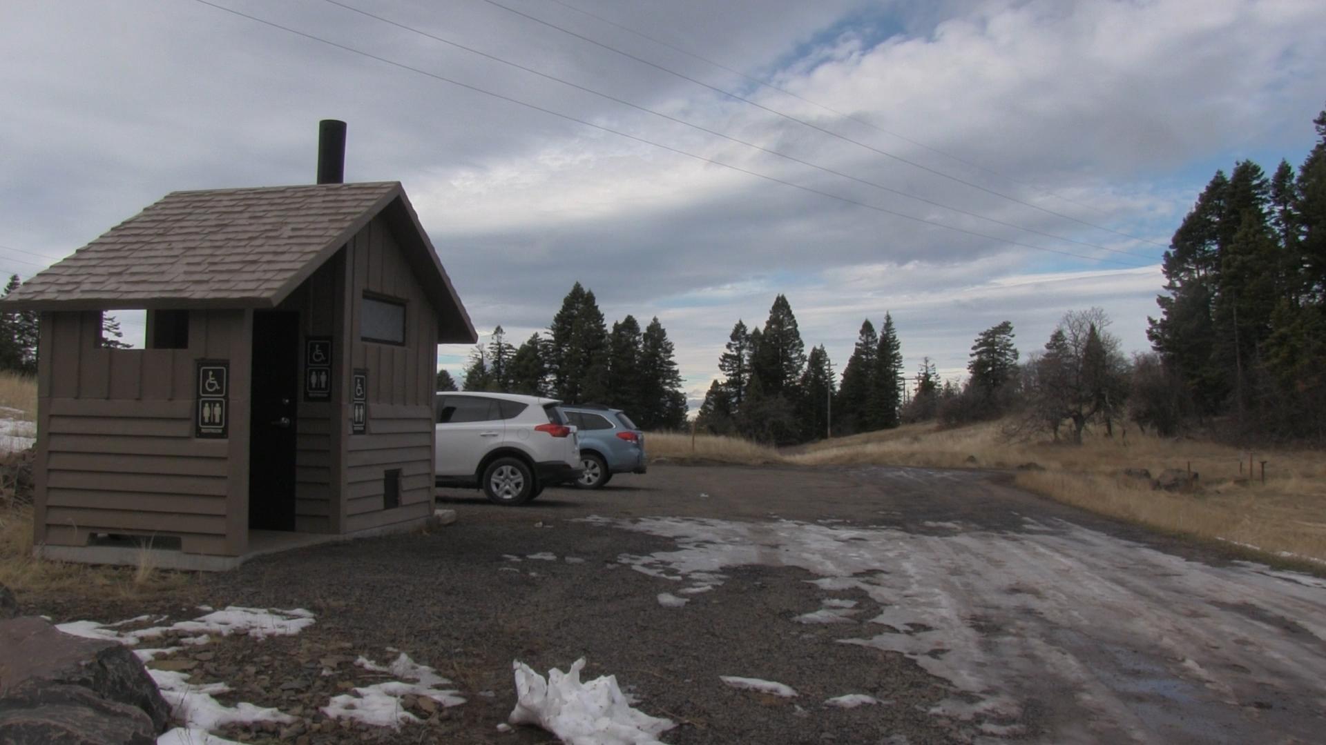
Parking
– There is a boulder lined lot for dozens of cars – and a nice place to pee.
The Trail
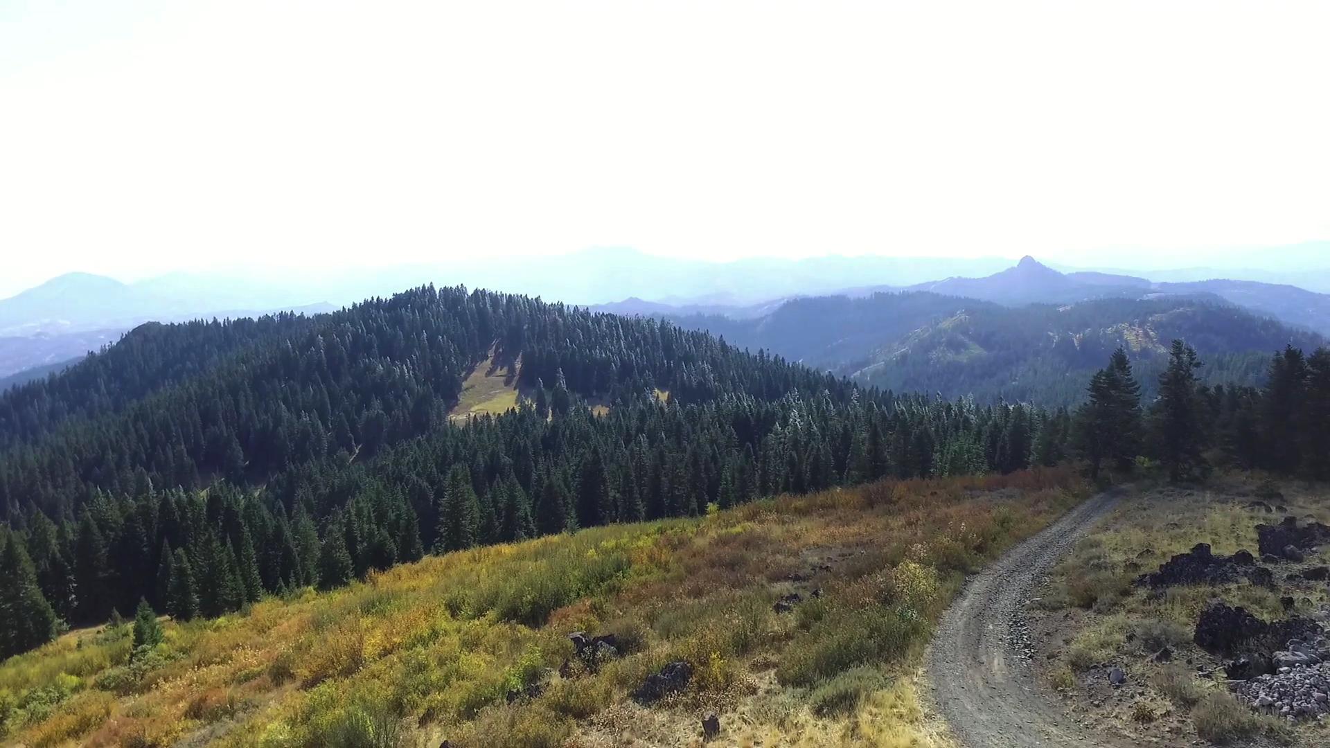
– To the left you’ll see a sign for Hobart Bluff. If you look to your right you’ll see a sign for the PCT, heading past the bathroom facilities. That is the beginning of the Soda Mountain Trail. If it weren’t for the crackle and hum of the high power lines, it might feel like a nice trail. But the first mile of PCT is along the clear cut path of major power lines so it can only be so nice.
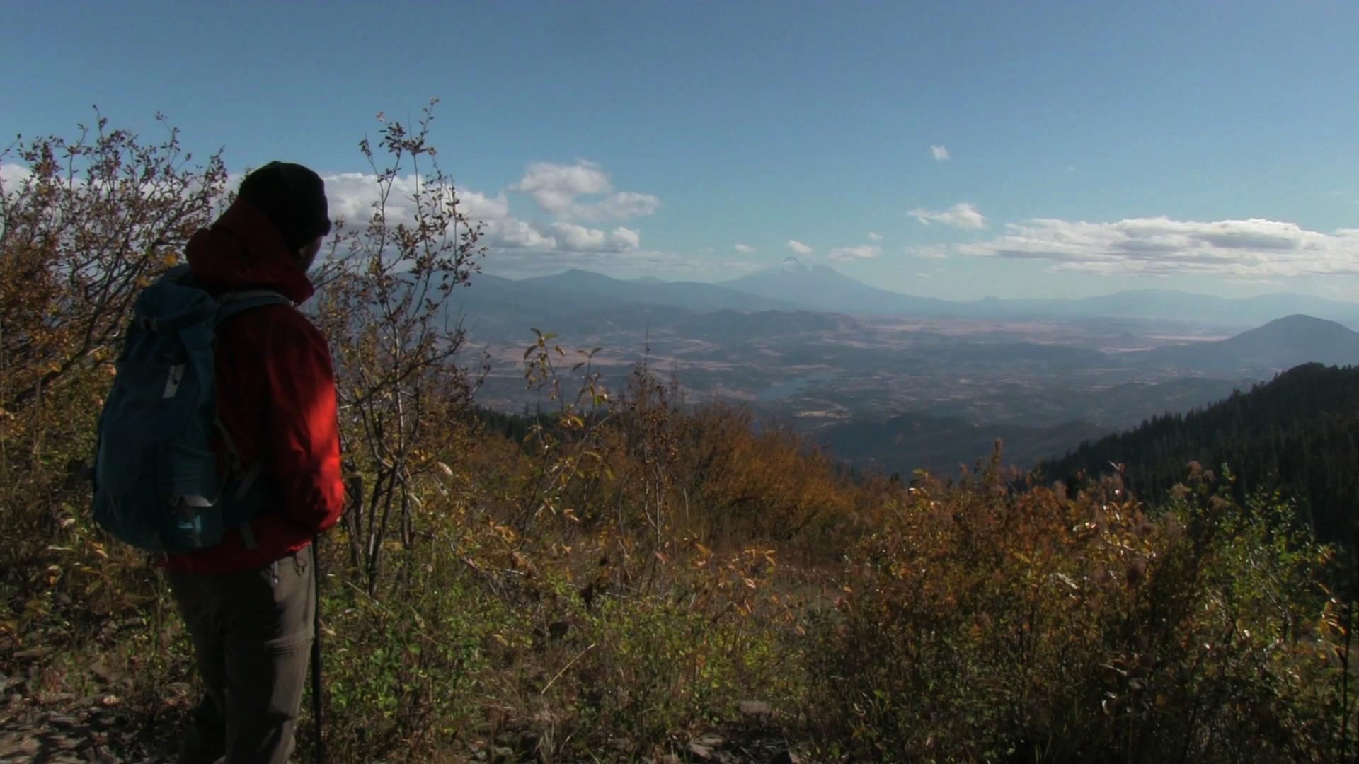
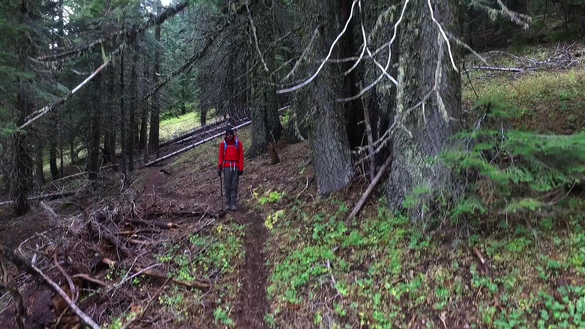
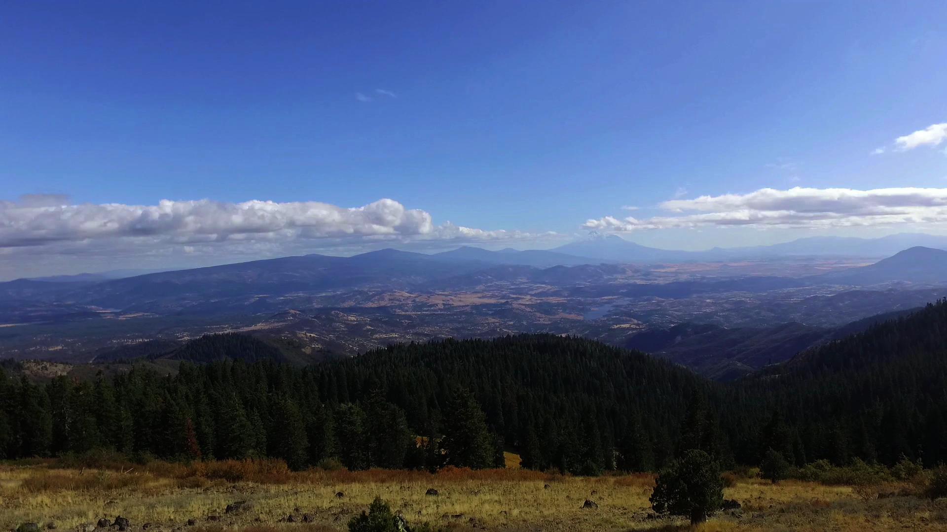
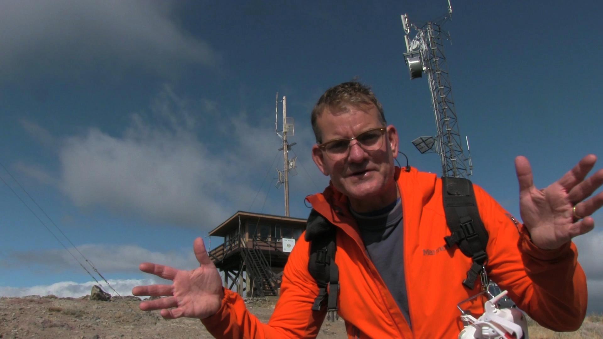
Then, as you enter a dense stand of conifers, a cool trail splits to the left – away from the PCT. Don’t get excited, that trail is a couple hundred yards and you then join up with a gravel access road that heads up to the top of Soda Mountain. Less than a mile and you’ll reach the satellite towers and white pickup trucks and… pretty fantastic views.
Hi,
Great Video! I am curious if you could continue past the parking lot on a bike further up to the lookout? Can this be done without going on the PCT?
Thanks
Gabe