
Marty’s Trail
Marty’s Trail
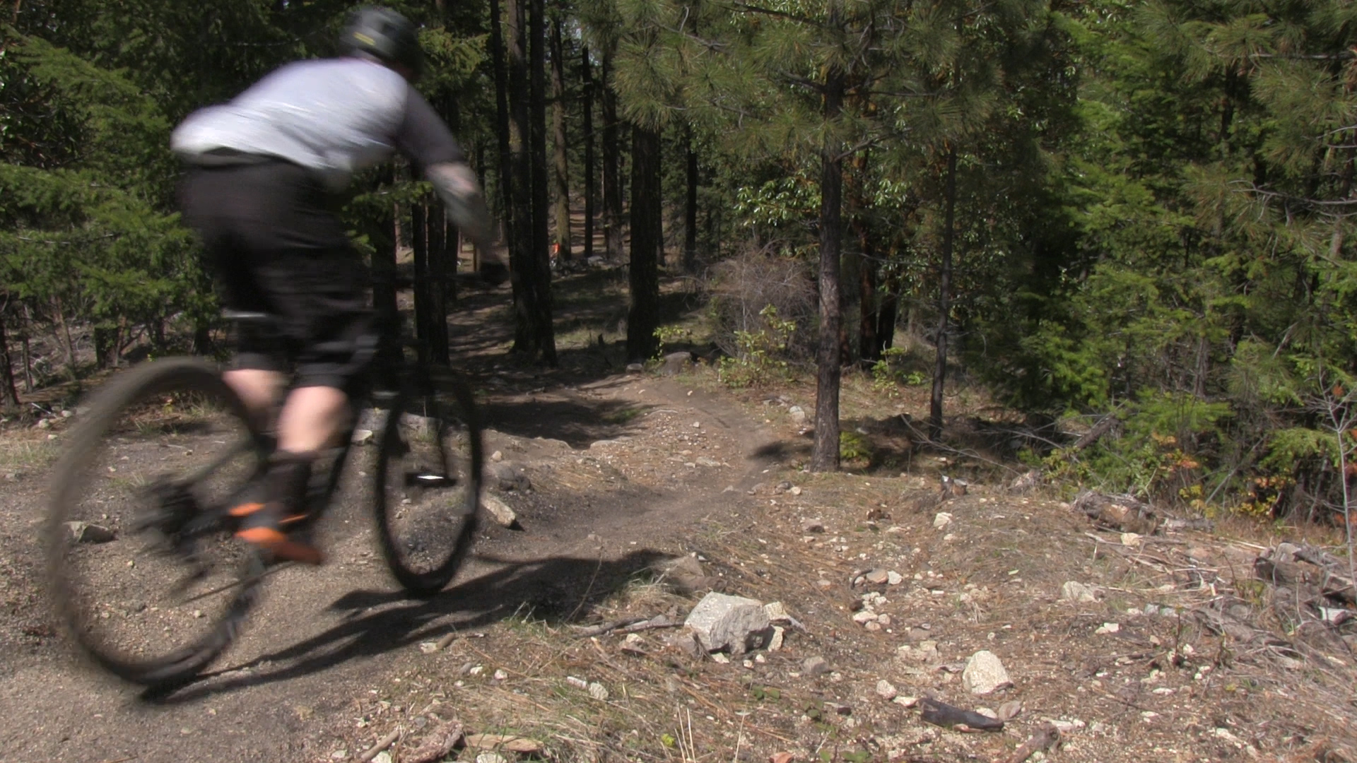
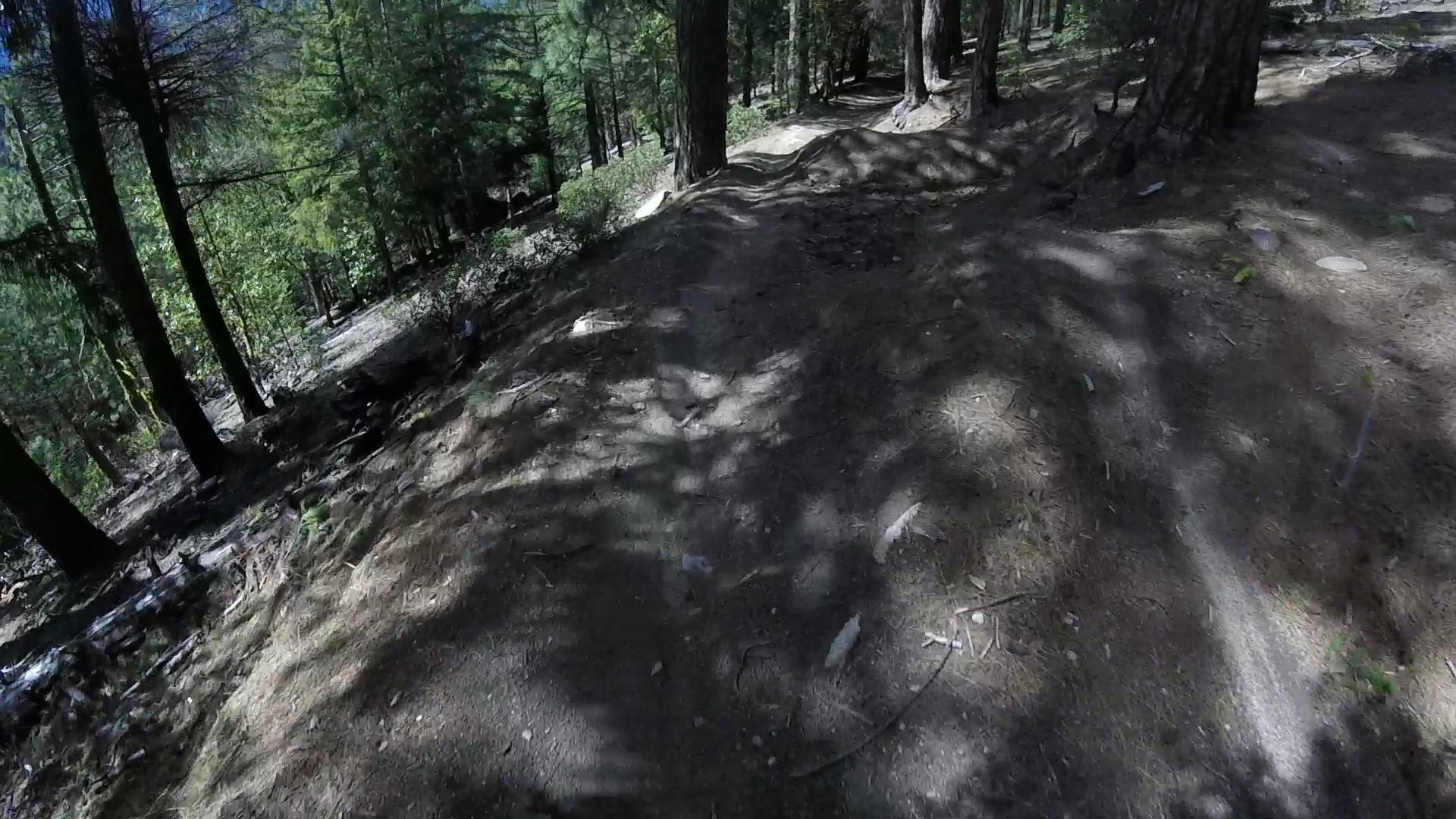
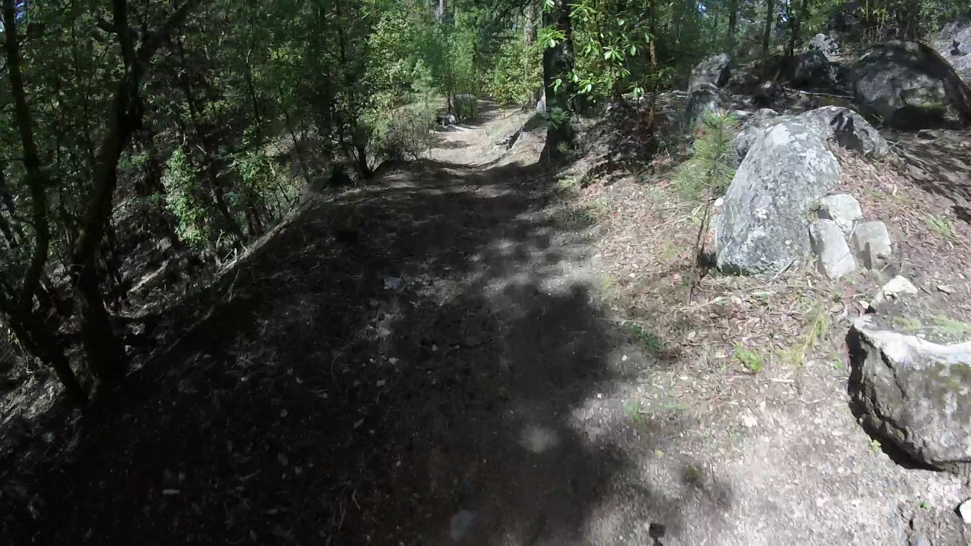
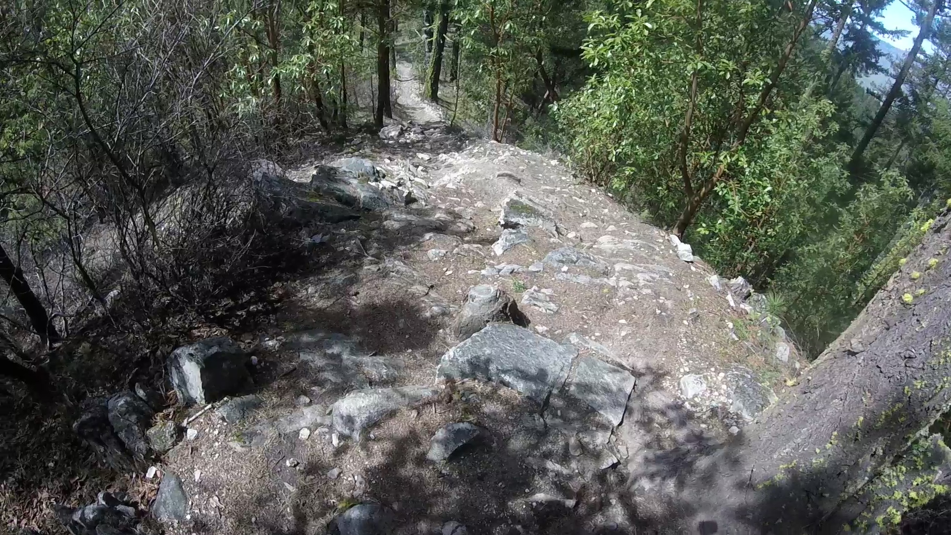
Marty’s Trail is a steep, rocky 2 mile downhill mountain bike alternative to Catwalk Trail down from Four Corners.
Driving
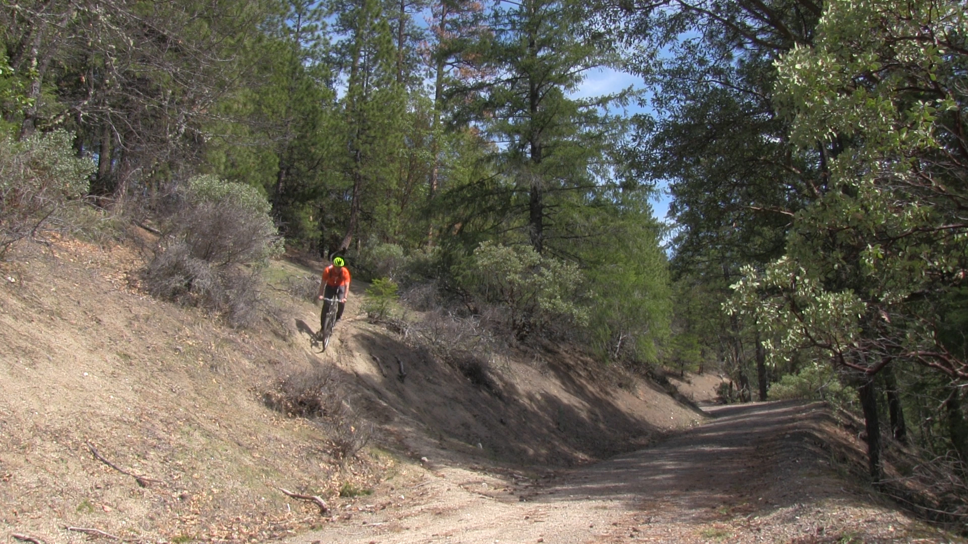
– This 20 minute drive starts south through town on Main Street/Siskiyou towards the university. Pass the university and in a couple miles, turn right at the stoplight at Toleman Creek Road. Toleman Creek heads straight uphill and then winds around into the mountains. The asphalt will turn into a dirt fire road after a while and then, there will be an intersection with a large, tempting left turn. DON’T take that, it goes up to Mount Ashland. Your fire road will continue to a large, boulder lined, gravel parking lot at the intersection of the Ashland Loop fire road.
Parking
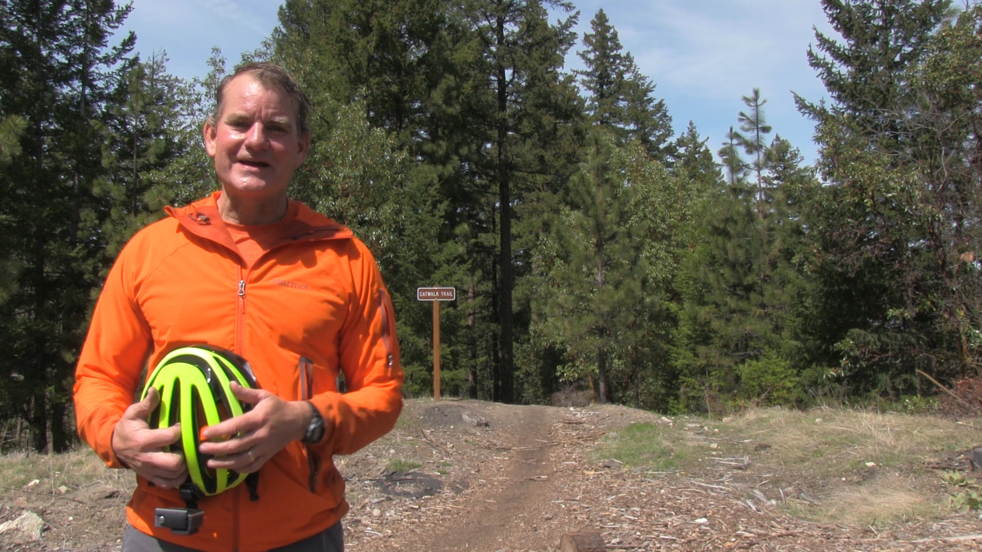
– A large, boulder lined, gravel lot that your car will love! Room for dozens of Subarus.
The Trail
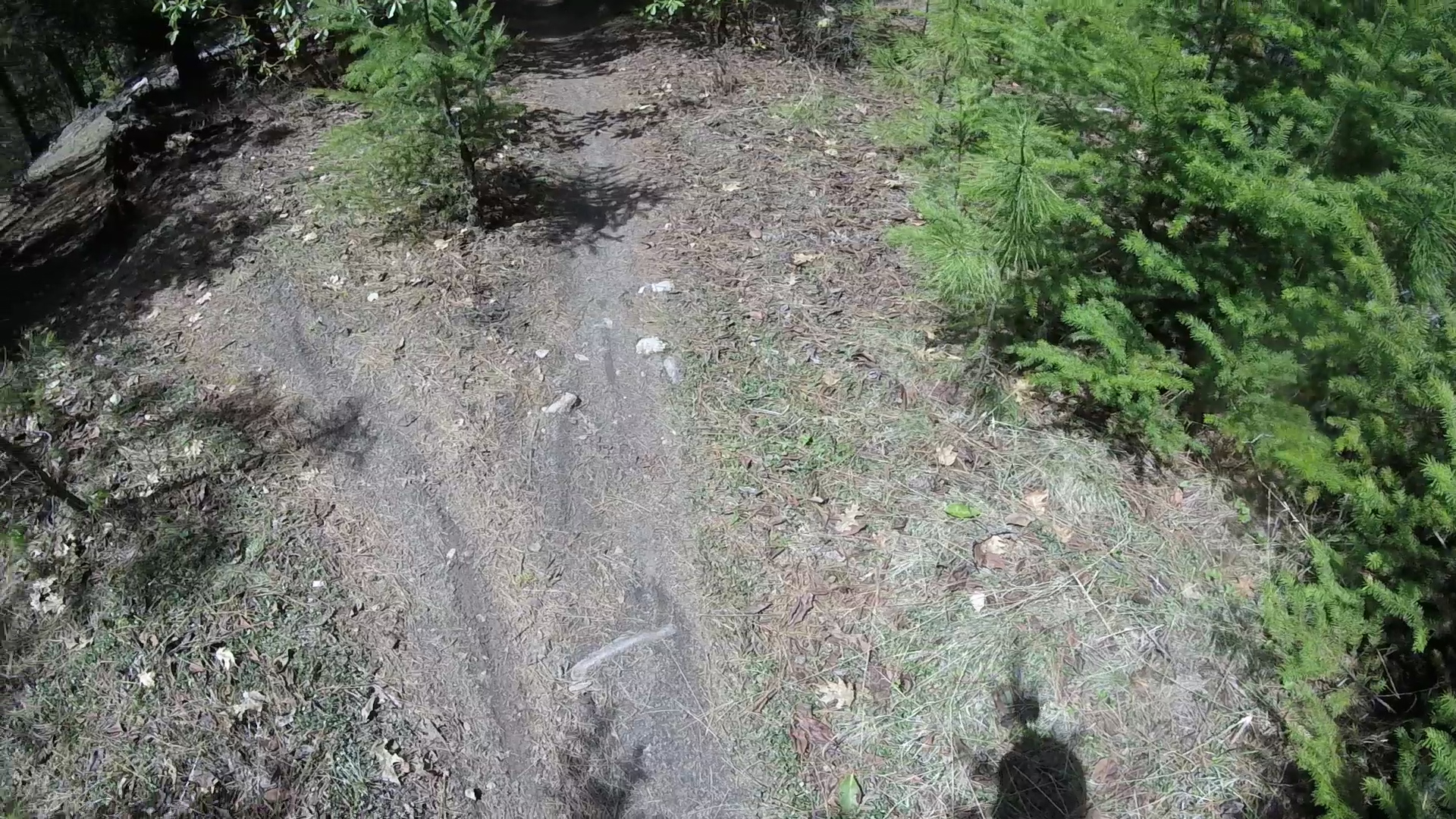
– At the end of the parking lot you see the Catwalk Trailhead sign which is also – secretly – The Marty’s Trailhead sign. Start downhill and within 100 yards the trail splits, with a Catwalk Trail sign pointing right – no sign points left saying Marty’s – that’s how you know to take the fork to the left.
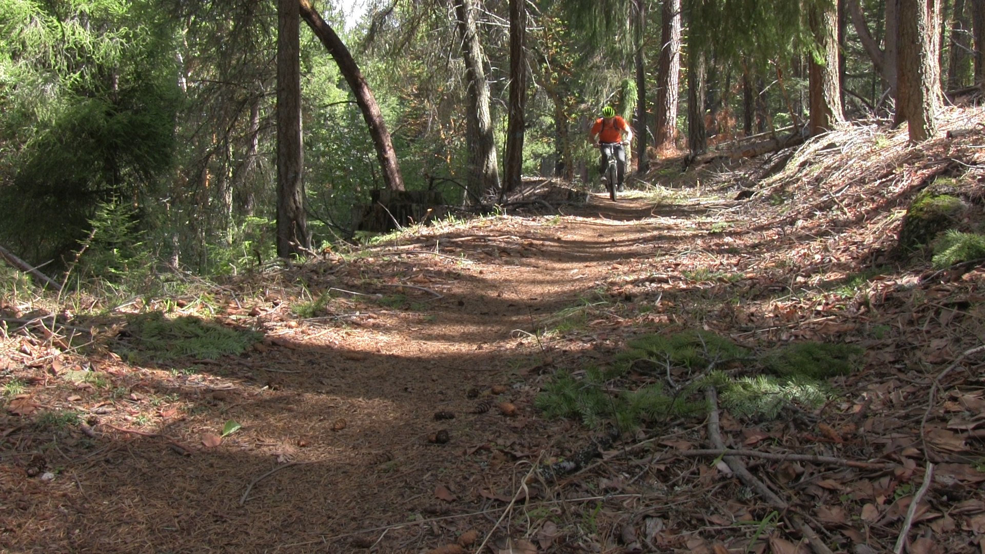
Now you have almost 2 miles of trail with a trail that splits to the right and connects to Catwalk Trail and 2 trails that split left and connect down to the Ashland Fireroad. Stick to the main trail and sections are smooth and nice, while other sections are rocky and mean. This is a difficult, unpleasant trail. If you are into the rough stuff, you might just like it.