
Charlie Buck Trail to Baldy Peak
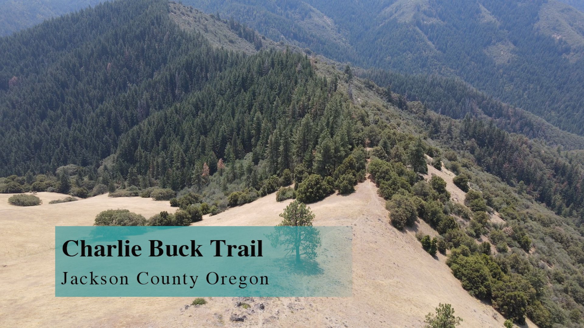
The Charlie Buck Trail up to Baldy Peak is a 4 mile out-and-back butt kicker that is totally worth it! (unless you have heart issues and might die. Then don’t go. ‘Cause it’s steep. And dying is bad.)
YouTube Video
Google Map
Driving
– It is an hour drive from Ashland Plaza. Head north on the 5… just get there. Then get off on the Phoenix exit (before Medford) and turn left. Then, turn right on Highway 99 for less than a mile and turn left on South Stage Road towards Jacksonville. There’s a quick jog right and then left on Griffin Creek Road and then South Stage turns into California Road(?) as you drive through Jacksonville.
As you emerge from Jacksonville you are on Route 238 heading to Applegate. It’s rural. It’s nice. Keep an eye out for Upper Applegate Road in about 10 minutes. You’ll turn left at a city called Ruch, but you aren’t going to see a city, you’ll just see a yellow church/school building. So turn left and you have 20 minutes on Upper Applegate Road driving along the Applegate River. Some roads split off, but head toward Applegate Lake and Applegate Dam.
There is a tricky left run before the dam. You will pass the “Historic” McKee covered bridge on your left and then you will drive over the Applegate river. The first road to your left is Eastside Road. DON’T take that, 50 yards later on your left is the unlabeled Beaver Creek Road. Take that paved road for about a mile and you will see on your right an excellent brown Forest Service road sign for the Charlie Buck Trail. Turn right on that and you have about 2.5 miles of bumpy dirt single lane road to the trailhead.
Parking
– The dirt road ends at the trailhead and there are 10 areas to pull off to the side into the weeds. More if you start back a couple hundred yards. Yeah, there’s plenty of parking, but you gotta be comfortable with brushy, roadside pullouts.
The Adventure
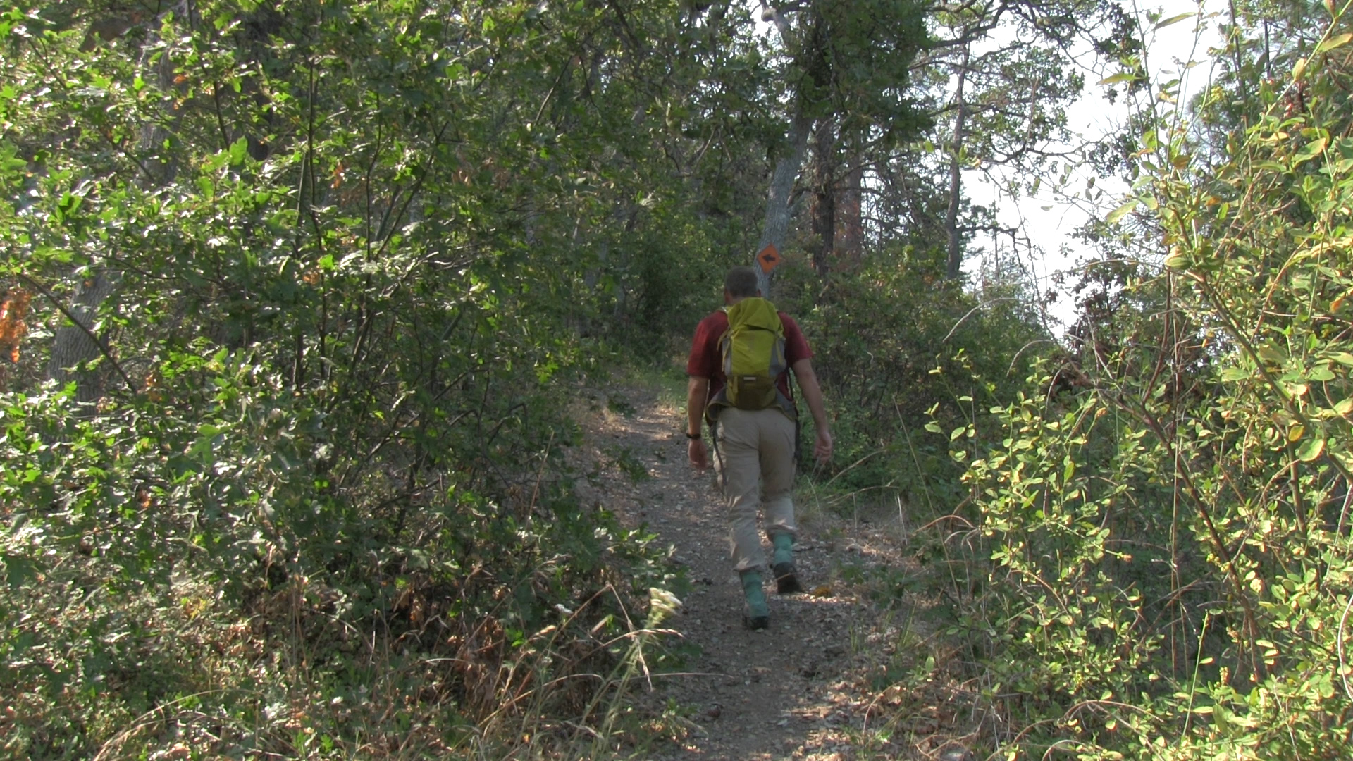
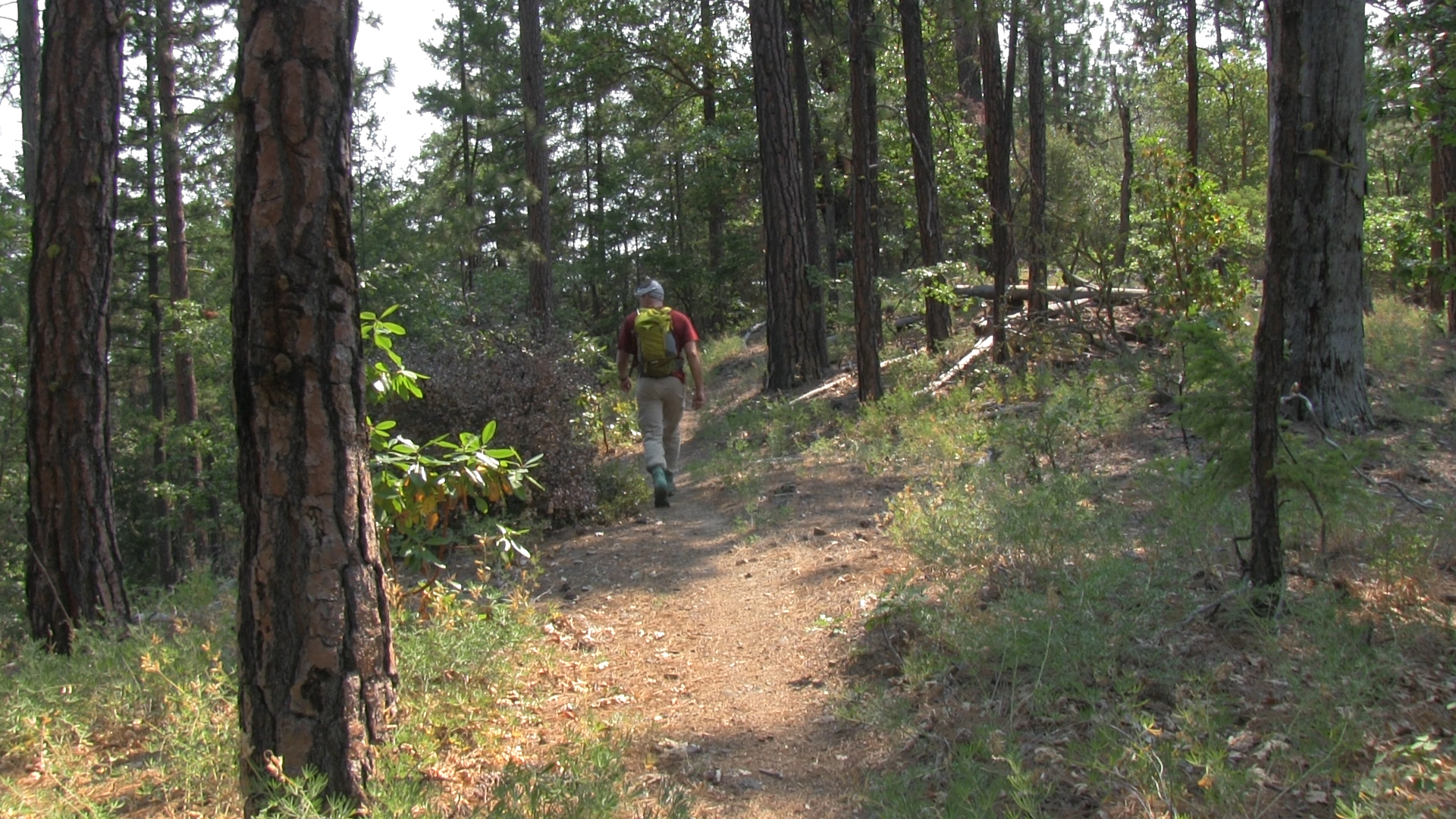
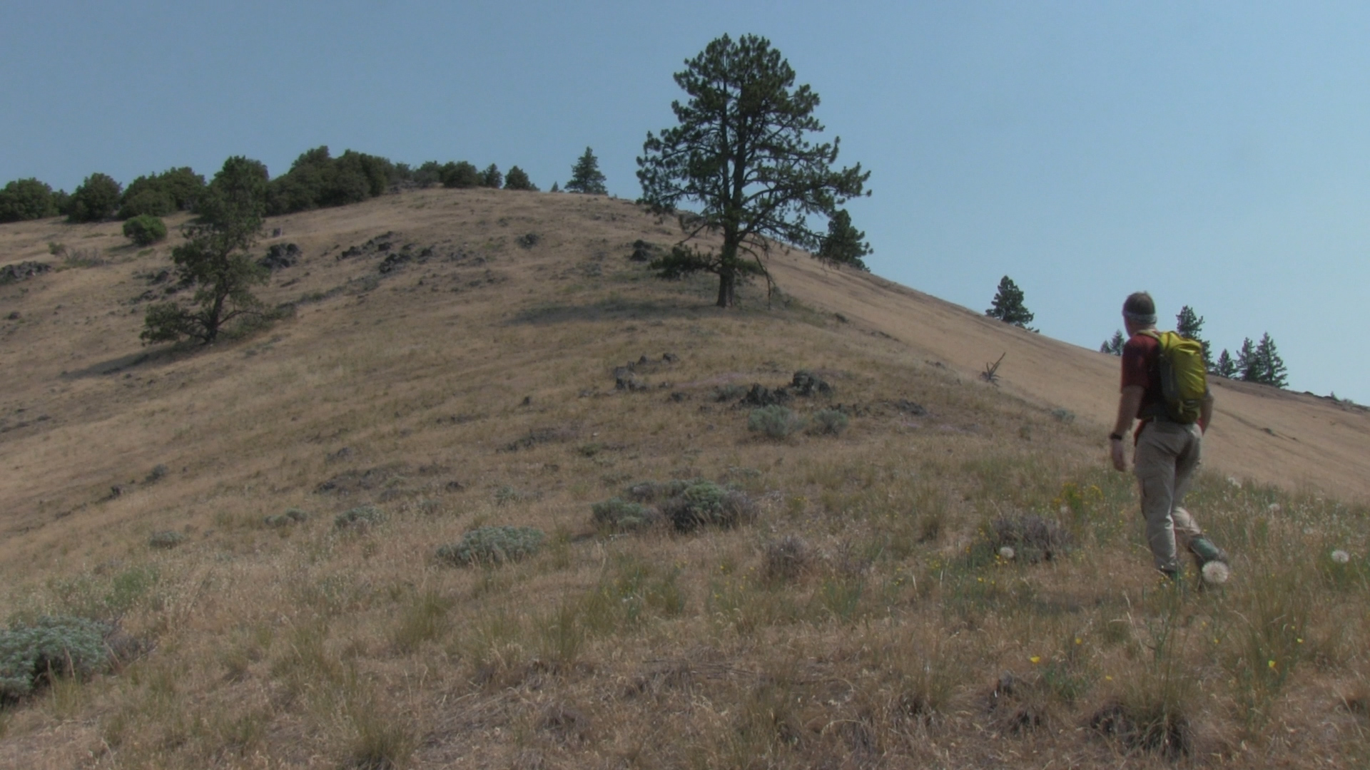
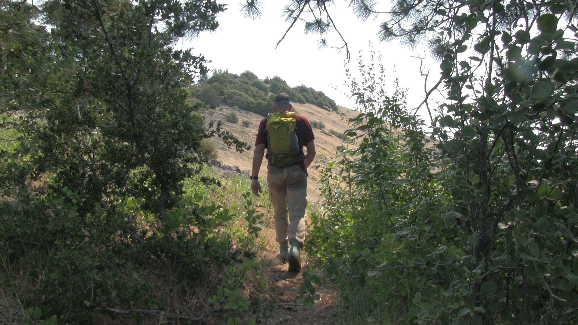
– There isn’t the classic Forest Service sign up here to start you out. More of a funky graffiti covered chunk of metal talking about “hiking naked.” But, the trail is obvious to the right and it is uphill right off the bat. Great, steady workout for 3/4 of a mile and then, a little ridge line break. Flat and views. Very nice.
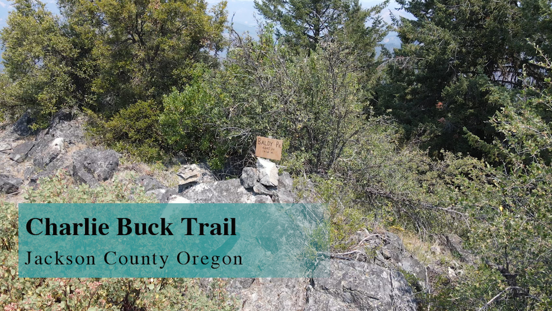
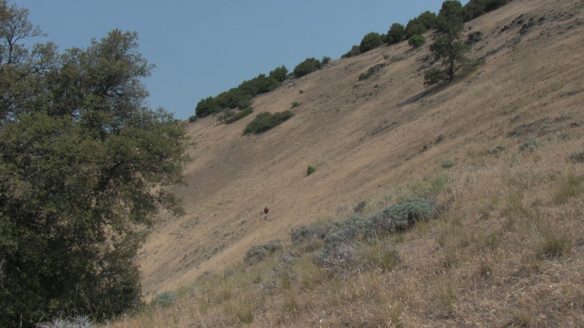
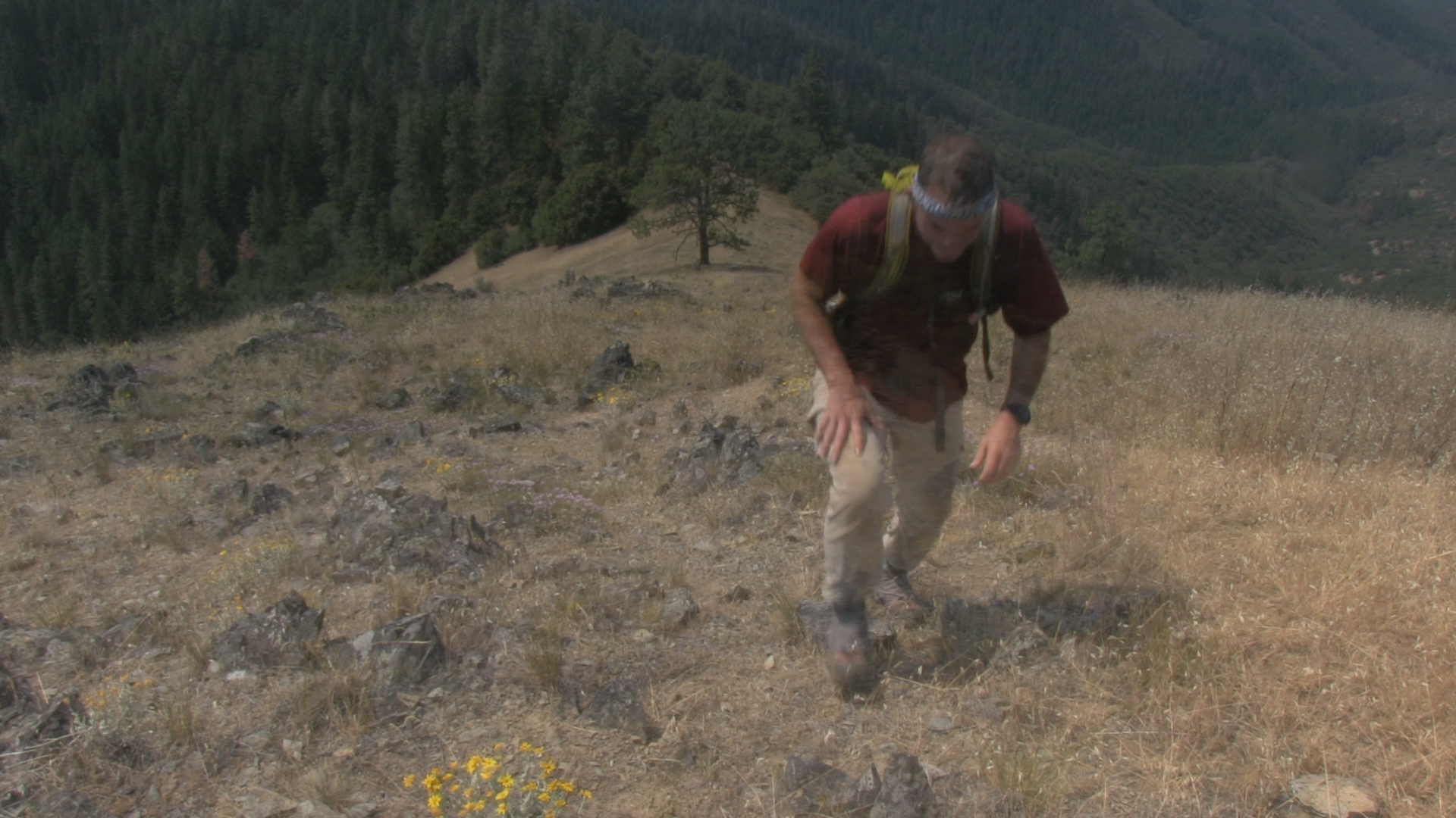
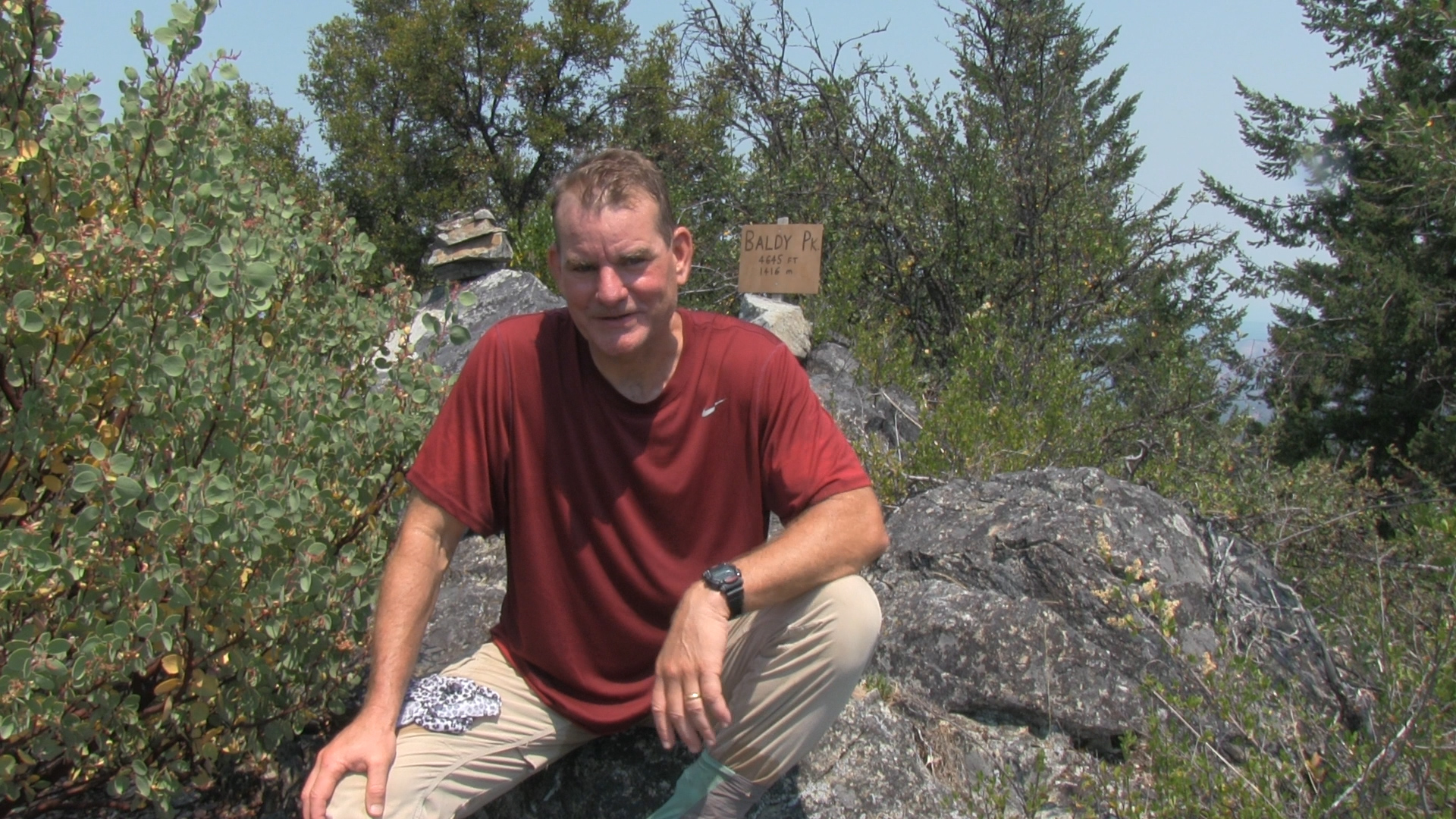
Then. Back to the uphill. Sweatin’ cause you’re an oldie. And then at 1.5 miles… you break out onto a grassy hillside with views for days and a chilly, flat-walking trail section. Enjoy that 1/4 mile because you then hit the spot where you turn uphill to Baldy Peak. It’s not super obvious. If you are a “head down follow the trail” type of person, you might just walk on by and end up at Mule Mountain or Squaw Peak. But. If you are a “Summit Seeker,” you will feel that trail uphill to your left. It’s naturally along the ridge line and fades in and out but when you get towards the top, not only will you find a rocky peak with a makeshift sign declaring the summit of Baldy Peak and bunch of hippie cairns… but the views up to that peak are… Freaking! Awesome!
Drink water and then come on down. After that… drink more water.
4 Miles. Crazy 360 Views. Boom.