
Dollar Mountain Trails
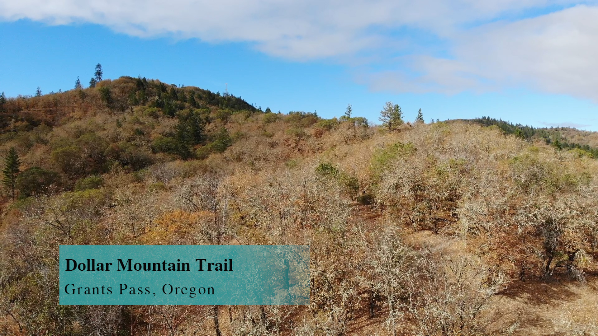
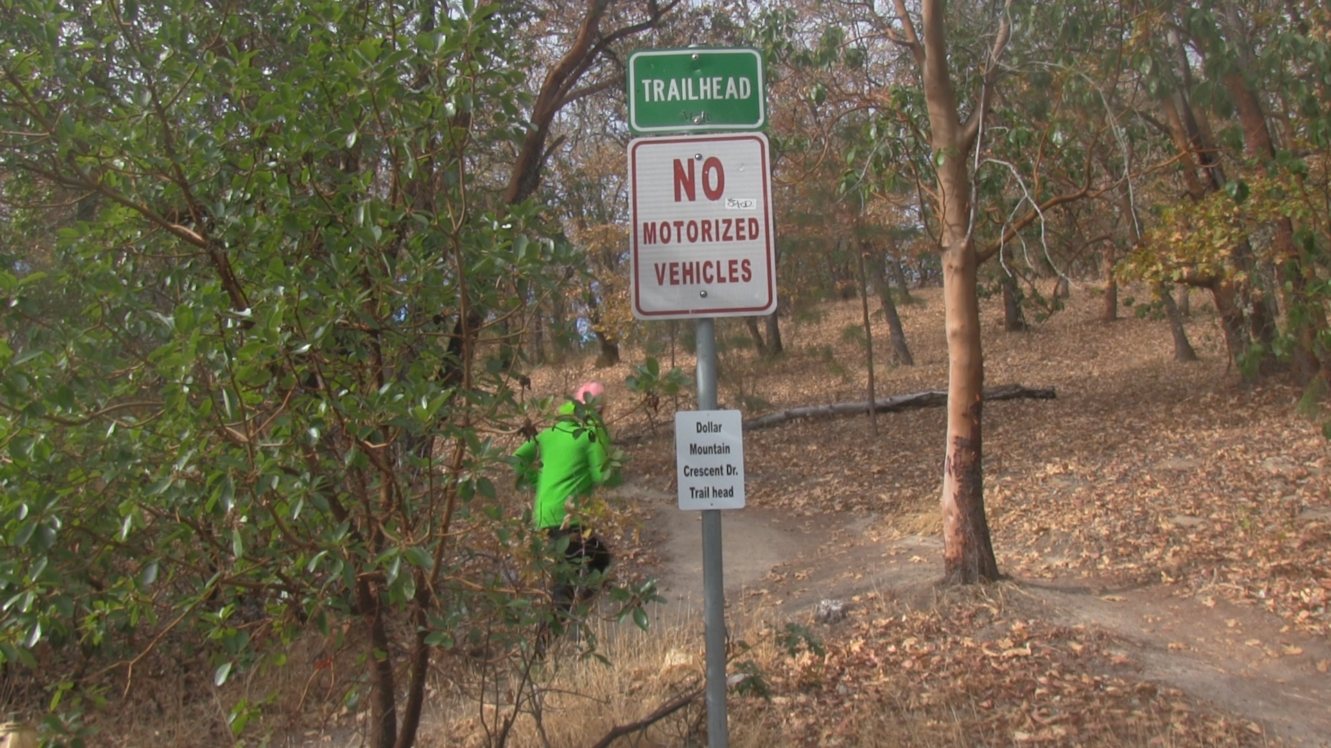
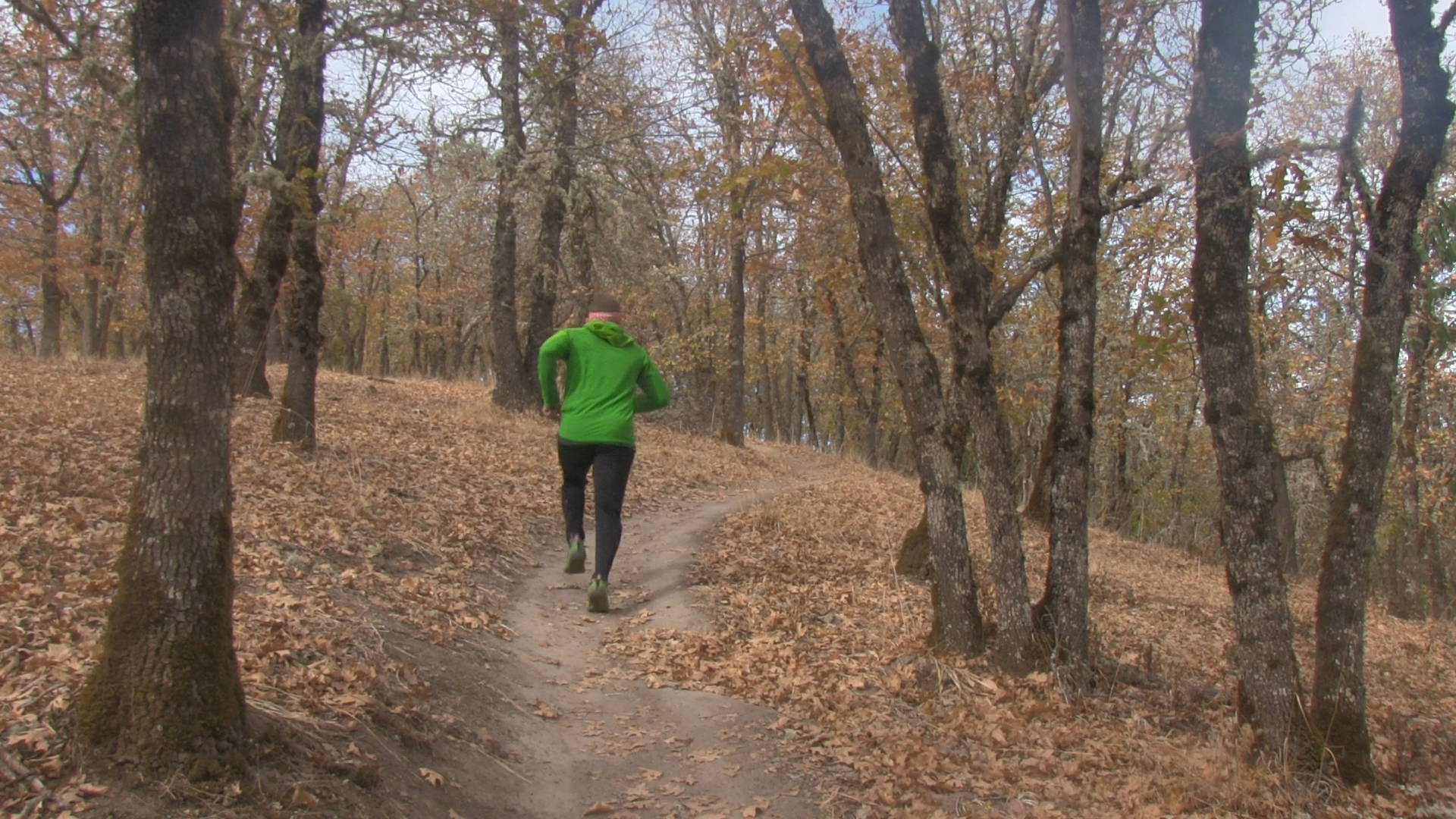
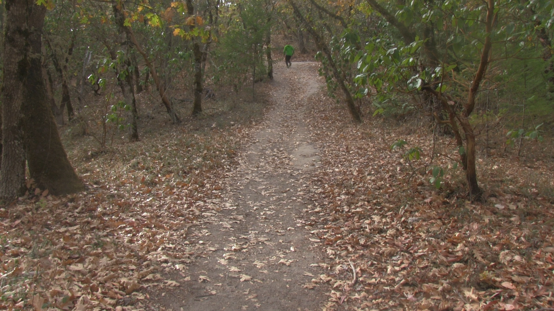
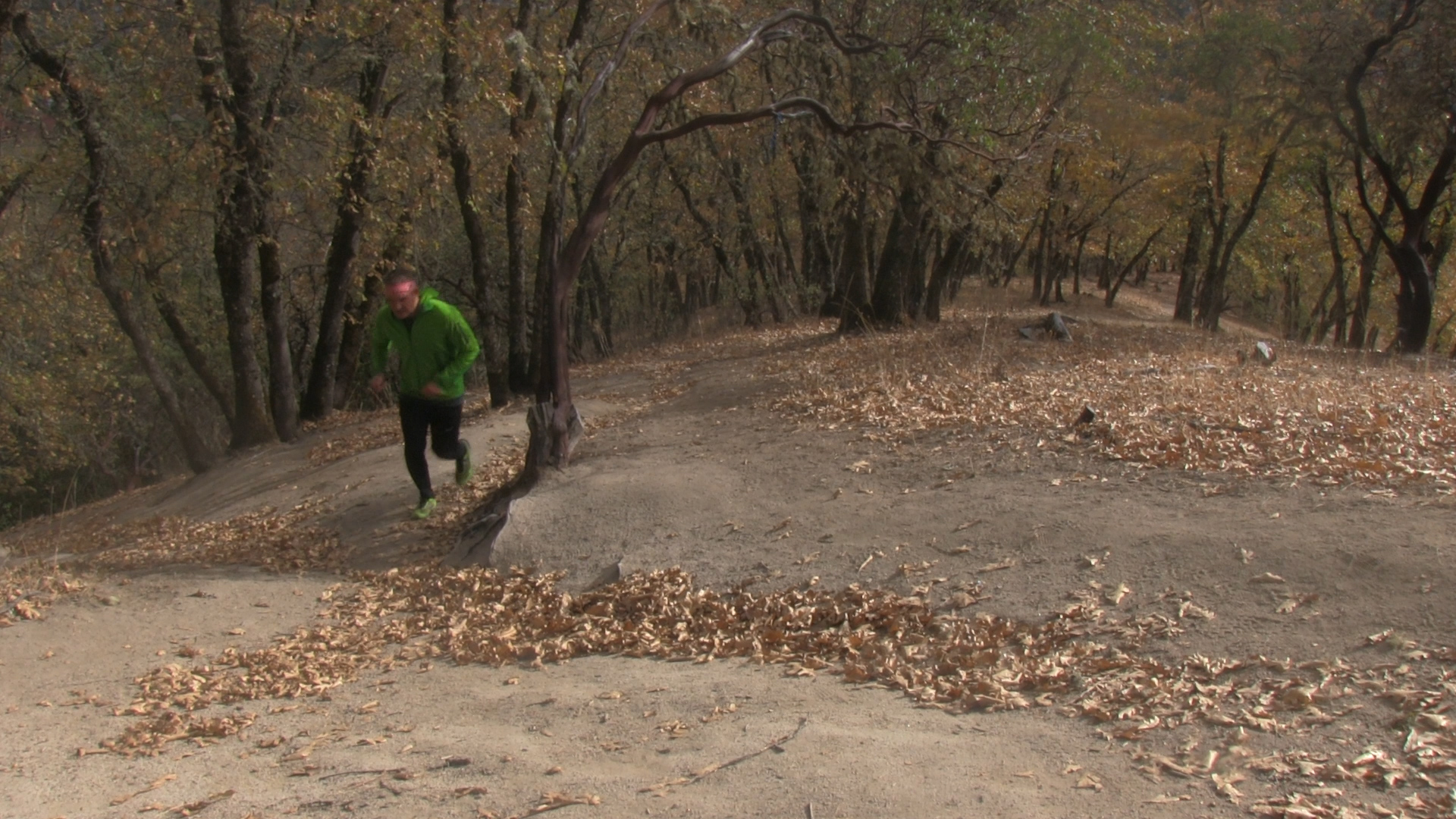
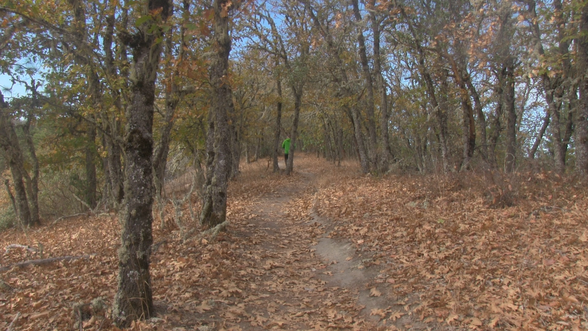
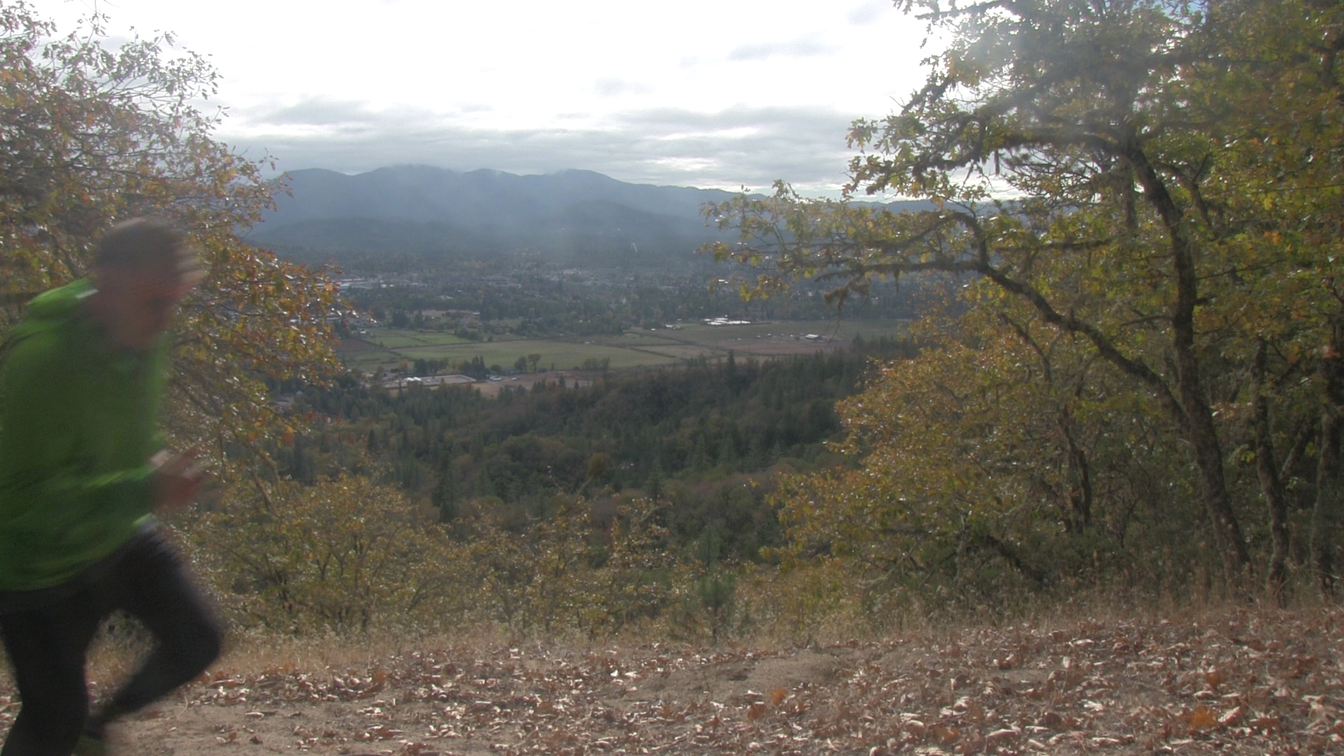
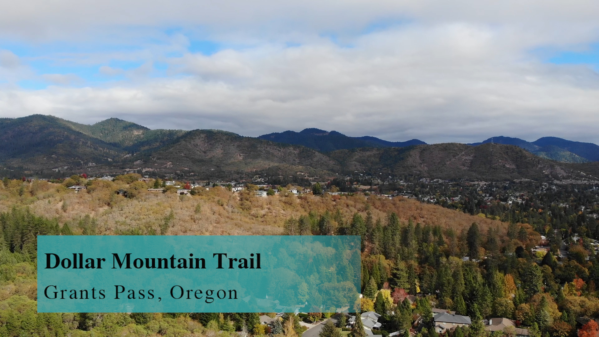
The Dollar Mountain Trails are 12 miles of mountain bike ‘mostly’ trails in Grants Pass Oregon. There are three uphill routes with a variety of downhill looping options. Originally a sketchy local hiking trail, most trails are now hiking/biking shared but there are many downhill mountain bike only trails with most of those in the moderate difficulty range.
Videos

Map
Driving to the B Street Entrances
– From exit 58 off of interstate 5 you will be on Route 99 heading towards downtown Grants Pass. For entrance 1 and 2, the B Street/Crescent Street entrances, you will continue for about 1.5 miles and turn right on A street. On Dimmick Street turn left and then quickly right onto B Street. B Street curves right, then curves left, then makes a complete right turn and quickly ends in a cul-de-sac. Here you turn left on Crescent Drive. In about 200 yards there will be a significant parking lot to your left.
Parking For the B Street Entrances
– Turn left into the lot where there will be room for 10 cars or so. The second entrance will line you up for the proper slanted parking but it doesn’t matter. Now… run across the street to the Crescent Street trailhead. For the B Street trailhead, jump on your bike and ride back down Crescent Street to where you turned left from B Street. Turn left down that cul-de-sac and you will hit the yellow pipe gate across the gravel service road AKA your trailhead.
Driving to The Hieglan Entrance
– From exit 58 off of interstate 5 you will be on Route 99 heading towards downtown Grants Pass. For entrance 3, The Hieglan Entrance, just after the underpass, turn right on Morgan Lane. A quick left and right at Hawthorn Ave keeps you on Morgan Lane. The next true intersection is Highland where you will turn right. In about 1/2 mile turn left onto Woodbrook Drive and then left instantly onto Hieglan Loop. This will dead end into the brand new mountain biking trailhead.
Parking For the Hieglan Entrace
– There are dozens of brand new spot to your right just after the newly planned housing construction is underway but just passed that there are another 8 spots right there at the trailhead to your left.
The Adventures
Route 1: The Crescent Street Trailhead
– This was the original hiking trail up here to the “Generic Radio Wave & 5-G Electromagnetic Poisoning Tower” and back but I’ve combined it with some new mountain bike trails to make it a 4 mile loop. The uphill has some switchback option added for mountain bikes but you don’t need to take them.
You start with 1 mile of uphill. Just past the half mile point a neighborhood trail from the left joins you just as the mountain bike trails begin to intersect at an annoying rate. Just stay atop the ridgeline towards your radio tower masters. (we will use those trails on the way down) As you arrive at the top you will encounter a stunning array of chain-link fencing and barbed wire and “Stay out!” “Danger!” signs. The good news? The views are not very good.
So get the hell out of there, go around the towers, and as you begin down the gravel access road, immediately to your left there is an information kiosk with a decent trail map. Just to the left of that sign is the trailhead for the downhill “mostly mountain bike” trail called Gold Dust. Let’s hike down that today. It has the signature big berms of a downhill mountain bike trail so… maybe next time try your mountain bike but today, it’s fine with me if you cut the trail here and there to avoid some steeper loops.
After half a mile downhill there is a designated downhill mountain bike only trail that branches off to the left. So today stay right and continue down. This new section is almost 2 miles long and ultimately connects back to the trail you originally climbed up on. It blends in to multiple switchbacks you noticed on the way up. Now take whatever you want downhill and all trails will take you back to your car. Boom. 4 miles. You’re welcome.
Route 2: The B Street Trailhead
– This is a 5 mile mountain bike route with multiple options for more trails and routes. The uphill isn’t on any city maps because it enters up a city access road so I’m sure their super chicken-shit cry-baby attorneys are so afraid of some liability that they pretend it doesn’t exist. But… it’s the best uphill route for a mountain bike. From the Crescent street parking area you roll down to B Street, turn left, pass the pipe gate and now uphill on the gravel road. Within a few hundred yards the gravel heads up to the left while a dirt road continues forward. That dirt road quickly ends in a large Dirt Bike pit. Unless you are a complete psychopath with excellent health insurance don’t go here.
Ride up the gravel road and in more than 1/2 mile you will arrive at “the hub,” a 6 way intersection. For today’s route we will turn left up the gravel road towards the Skynet Antenna Tower of Space Rays however, within a couple hundred yards, turn left and head downhill on some money themed trail. In a quick 1/4 mile you will hit the gravel uphill road again. Head bak up to the hub.
At the hub take a soft right uphill on Non-Cents which parallels the gravel road atop the ridgeline. At the first opportunity take the trail to the right and reconnect with the gravel road. Continue uphill on that road for a hundred yards and on the right the “Loose Change” trail will head downhill. Take that for about 1 mile downhill with berms and drops and table tops… all the mountain bike goodness you could want. When that hits the uphill gravel road head back down to your car or… just go up and down and up and down forever. Boom. 5 miles. You’re welcome.
Route 3: The Heiglan Street Trailhead
– This is a 5 mile mountain bike route with multiple options for more trails and routes. The uphill is 1/2 mile of switchbacks and I suggest that this is exactly why e-bikes were invented. Books might call this “tedious” and I might call this “exhausting bullshit.” The map calls this Giddy-up! Either way, as you top out take the trail to the left and head over to the gravel access road. You will cross that road and now be riding on Krackin’-The-Bank.
This rolls downhill and then uphill for less than a mile where it connects with the gravel road on the other side of “the hub” and again you will cross the gravel access road and head downhill on a short trail. That will quickly end at a gravel access road that you will take up hill to “the hub” where you will take the soft right uphill on Non-Cents which parallels the gravel road atop the ridgeline. That trail crosses the gravel access road in the opposite direction and you will arrive at the top of Giddy-Up! At this intersection take the left fork and that 1/4 mile downhill winds it’s way down to your car. Boom. 4 miles. You’re welcome.