
Ashland Loop Road

Ashland Loop Road is a 25 mile loop around the Ashland Watershed and a fantastic introduction to dozens of Mountain Bike trails along a wide fire road.
Driving
– From the I-5 at the North Ashland exit 19 head to the old Hwy 99 and turn left. As you get close to downtown Ashland, turn right on Granite Street. That is just after the Brother’s breakfast restaurant. Take that along Lithia Park, past the duck ponds and past the swimming hole where you will turn left. Actually, you will sweep to your left onto Glenview Road around the swimming hole.
Parking
– You will find a dozen dirt parking spots to your right and 50 dirt parking spots to your left.
The Ride
– Ashland Loop Road (AKA Forest Service road 2060) is, as it’s name says, a loop. The 2500′ of elevation gain occurs within the first 8 miles and if you don’t feel up to that you could use the assistance of an e-bike. However, that would be illegal. E-bikes are illegal throughout the watershed. But I’m not your mom so…
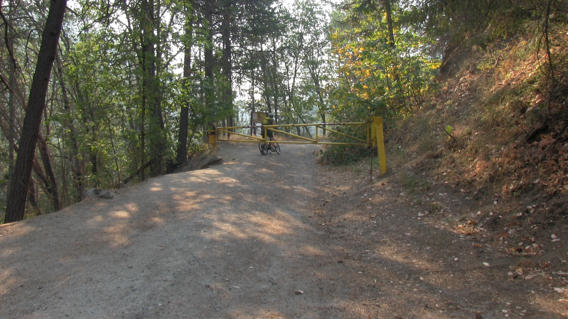
Ride back to the top of the swimming hole and ride up along Ashland Creek past the parking spots to your left. (Yes, you could park here but we didn’t now did we?) Continue up passing the water treatment plant road to your left and the road will hit the classic yellow pipe gate. Ride around that and away we go.
That’s it for the next 24 miles. You are on this road. Following are the significant connecting roads you will pass.
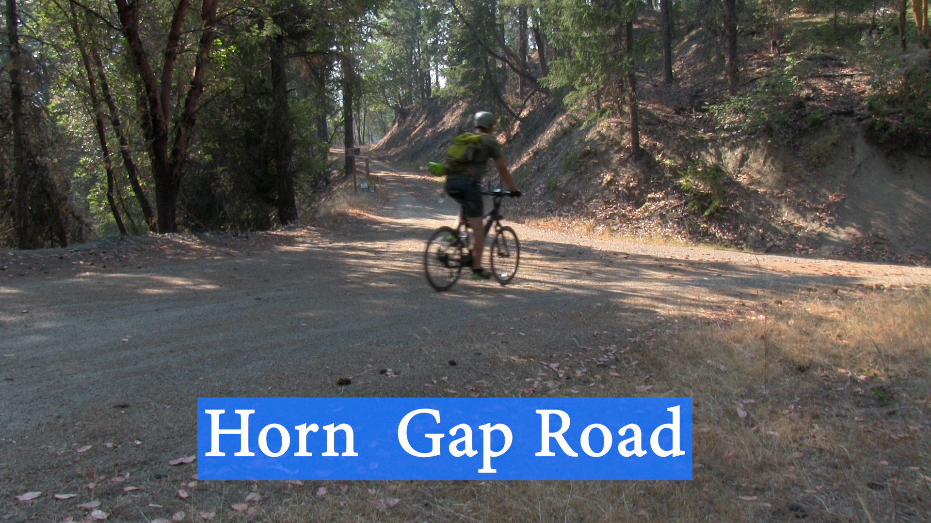
Mile 4 – Horn Gap Road on your left
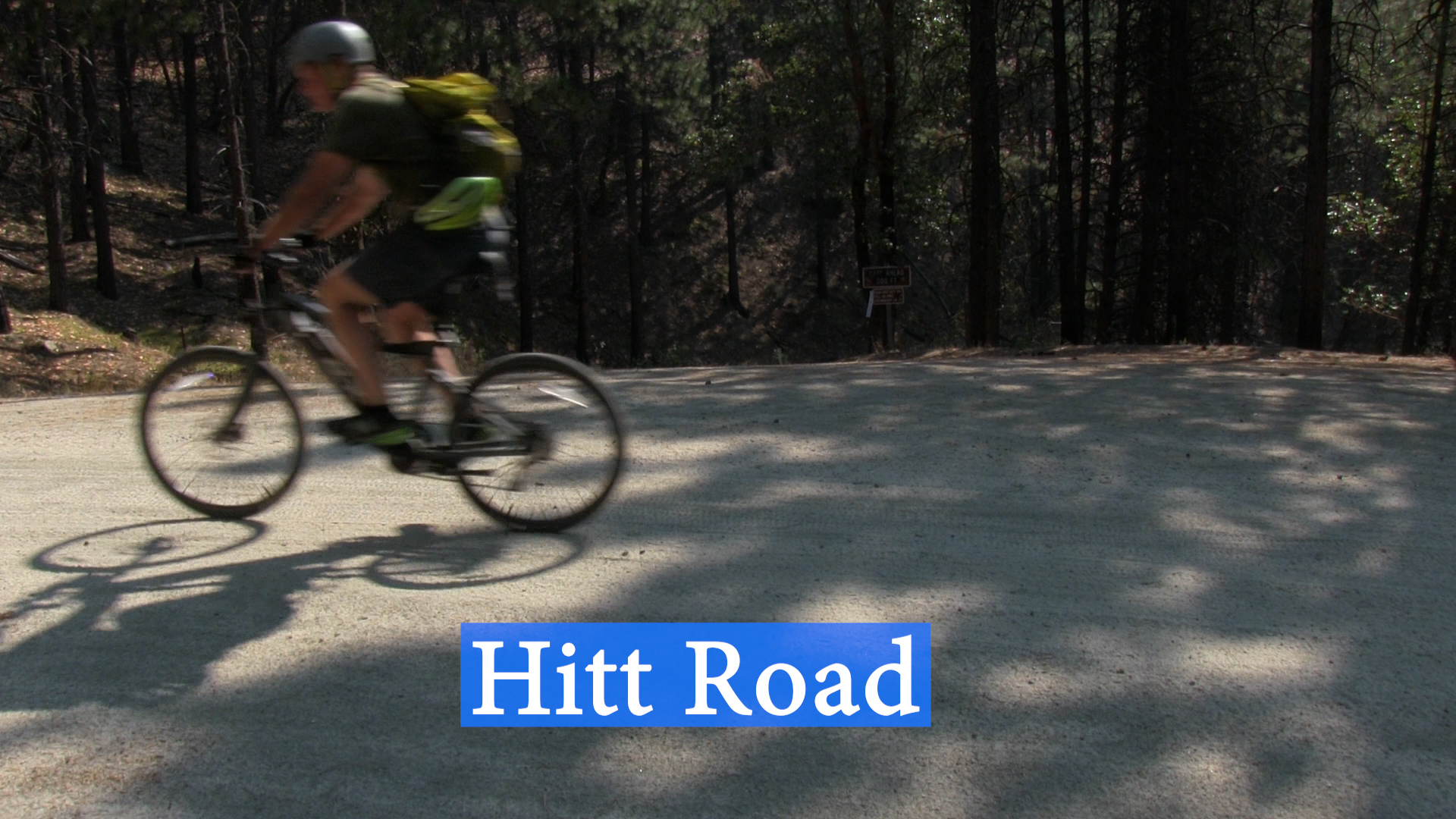
Mile 5 – Hitt Road on your right
Mile 6 – FS Road 200 on your right
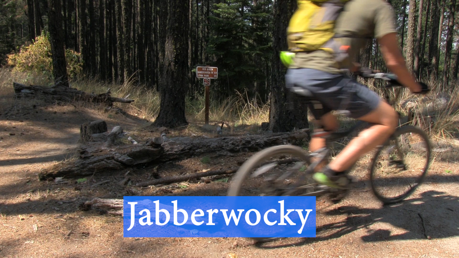
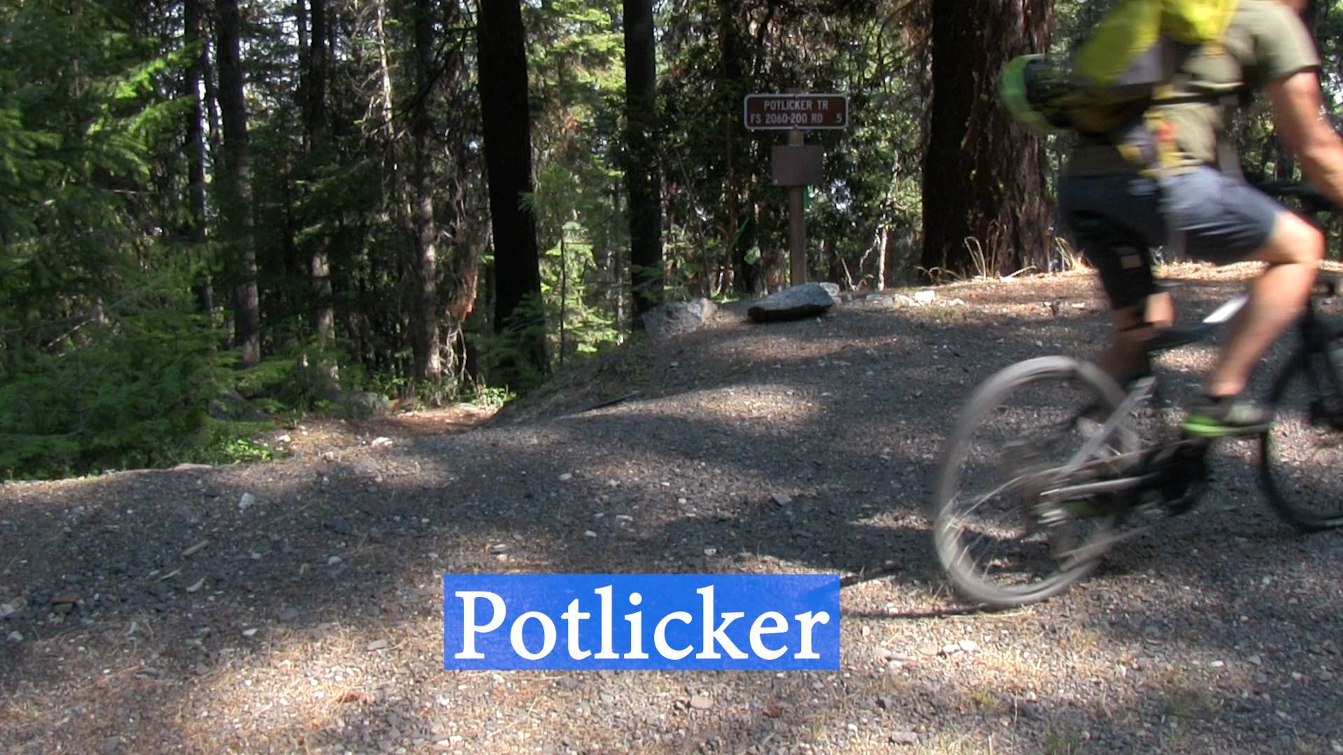
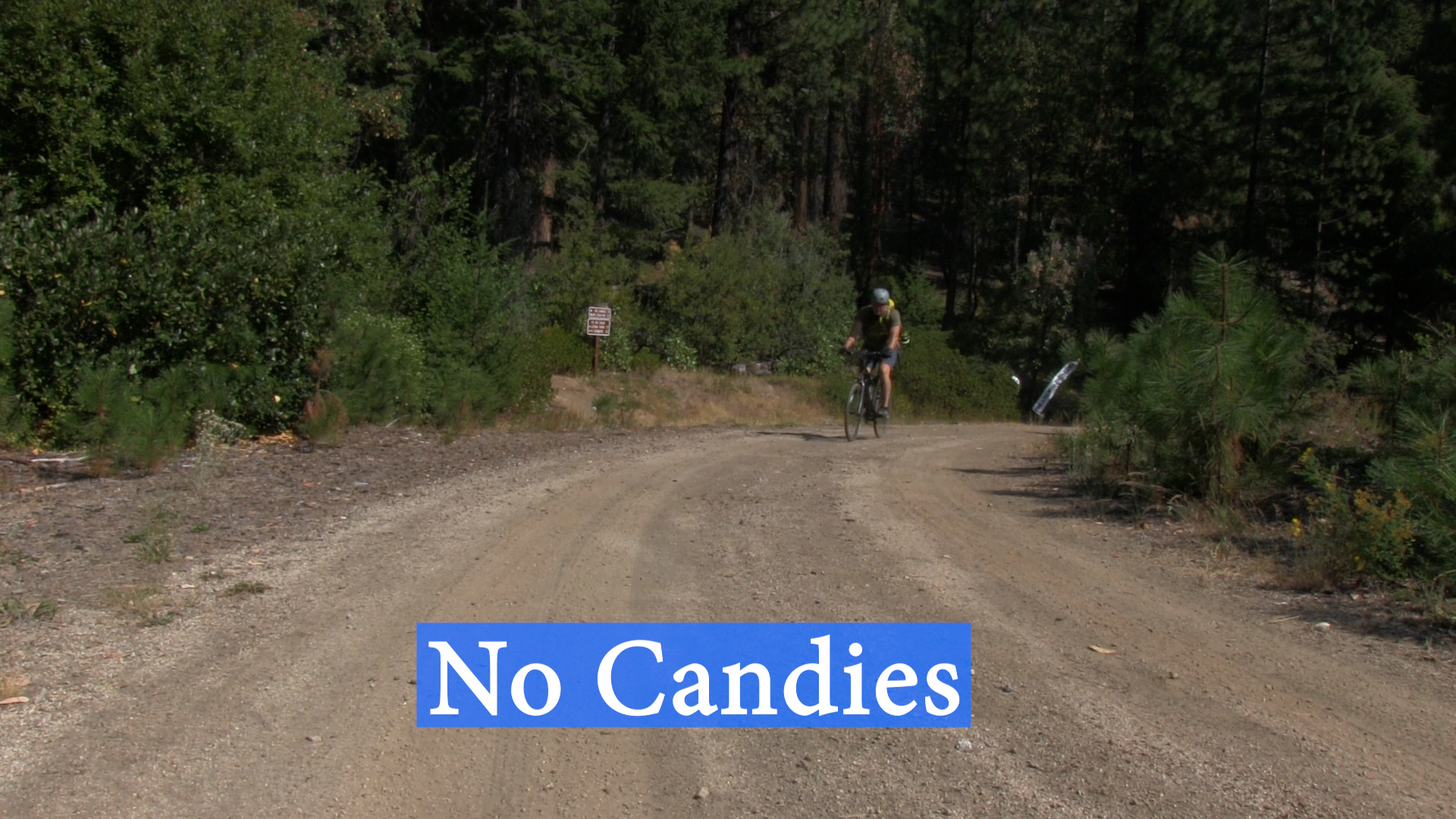
Mile 8 – Horn Gap Trail and No Candies Trail
Mile 9 – Wagner Glade Trail on your right
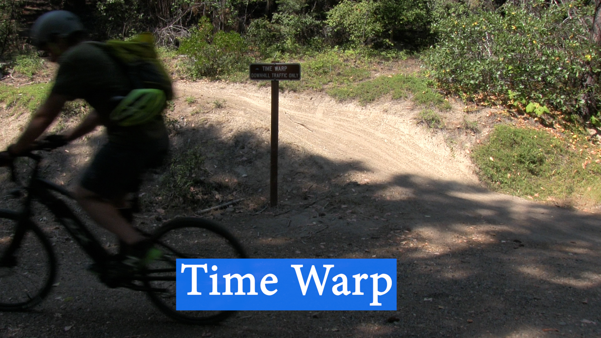
Mile 14 – Time Warp on your right
Mile 15 – Windburn Ridge on your left
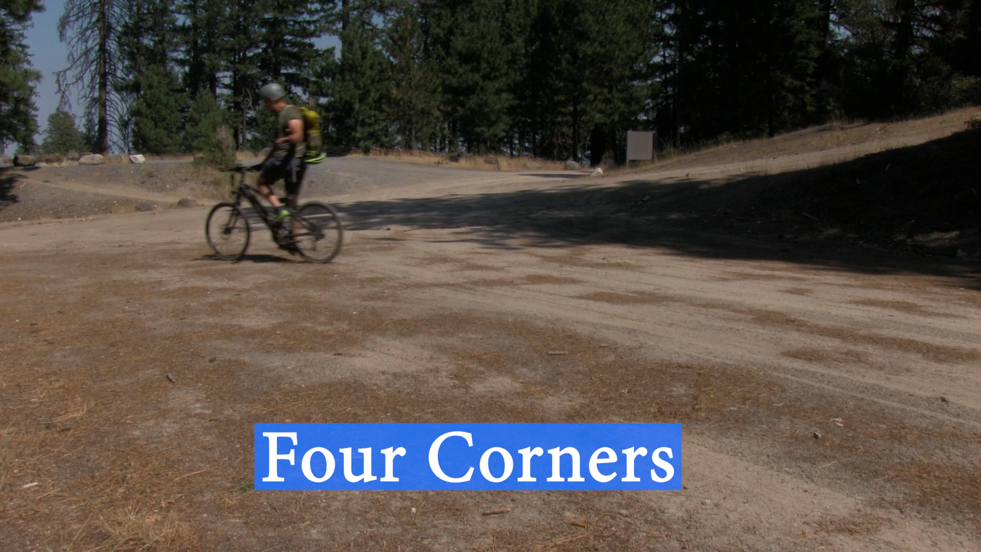
Mile 20 – Four Corners
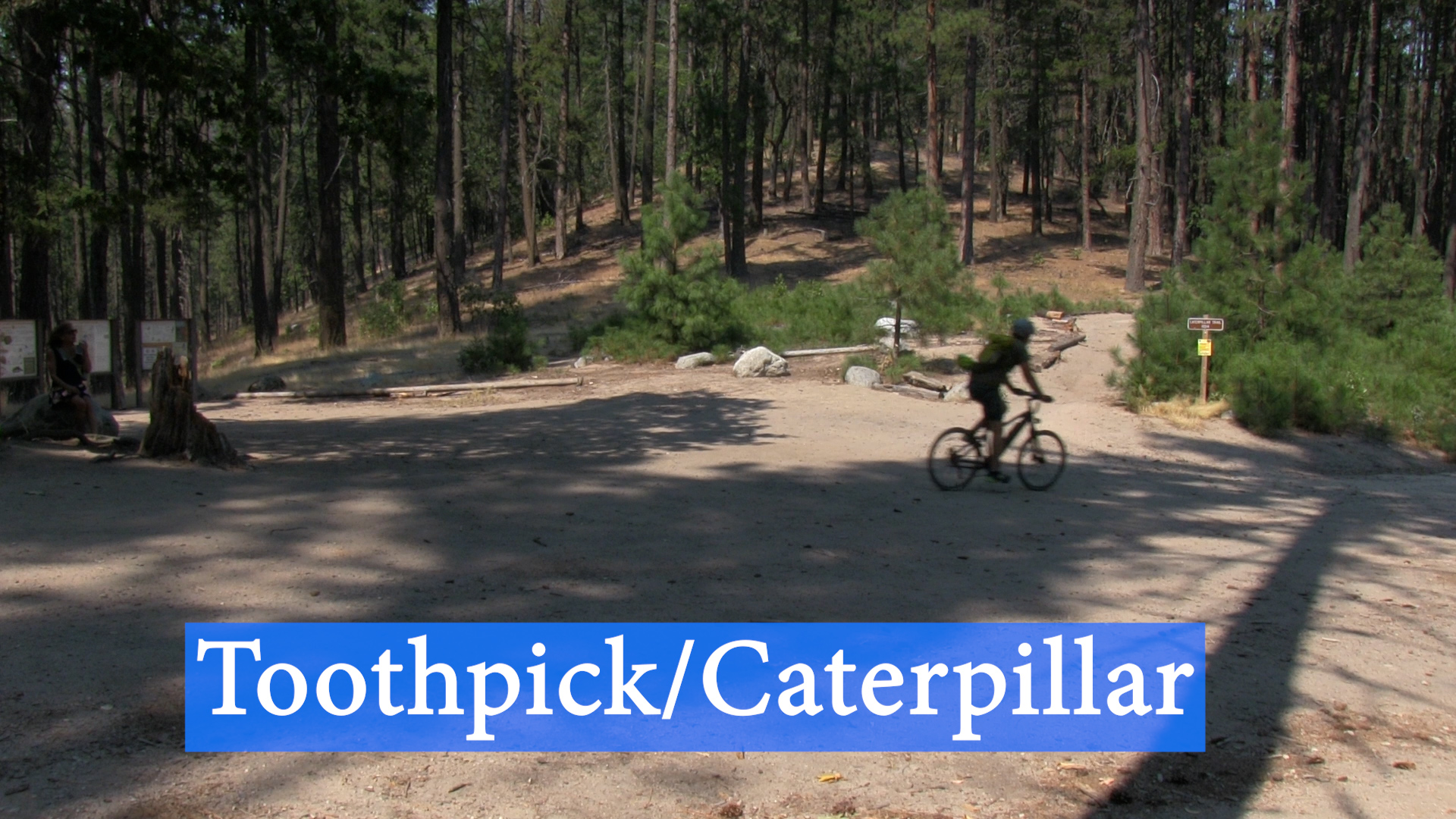
Mile 21.5 – Toothpick Trail and Caterpillar Trail
Mile 23 – White Rabbit parking area
Mile 24.5 – Terrace Street on your right
Mile 25 – Turn left onto Glenview Road