
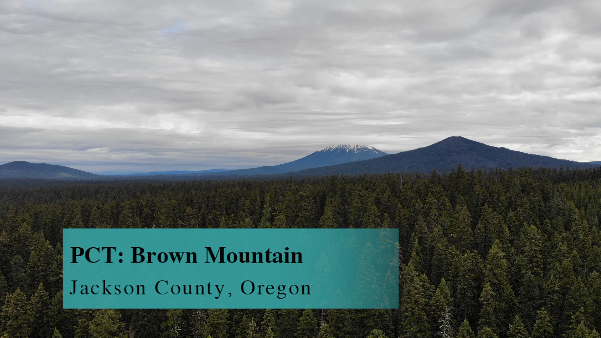
PCT: Brown Mountain

This 12 mile Brown Mountain section of the PCT requires you to have a friend. Not even a best friend. Just someone who is willing to park at the PCT trailhead off of Route 140 in the Summit Trailhead parking lot, where you will pick them up and drive over to the Dead Indian Memorial Road access to the PCT. Sounds like work but… worth it!
Driving
– This is a “shuttle” hike so you gotta get two cars. From Ashland you’ll take Siskiyou Blvd toward the University, turn left on Ashland Street, and cross over Interstate 5. Before you reach the golf course turn left on Dead Indian Memorial Road. You have about 30 minutes on this heading up into the hills. You will pass the Howard Prarie road on your right and 5 minutes after that there will be Big Elk Road on your left. In the winter this is a snow recreation area so the “Snow Park this way” signs are much bigger than the Big Elk Road signs. Anyway, left on Big Elk. 5 minutes on this and you dead end into Highway 140 or Lake of the Woods Highway. Turn right here and in a couple miles look to your left for the Summit Sno-park and Trailhead parking.
If you are coming from Medford, you just grab Highway 140 off of Crater Lake Ave right there at White City really, and head towards Lake of the Woods until you hit this area.
Parking (Hwy 140)
– There are pit toilets here and a huge, paved parking lot. There are no lines on the ground so park politely and then – jump in your buddies car and head back to Dead Indian Memorial Road.
Driving (the shuttle part!)
– Turn right out of the parking lot and retrace your route to Big Elk Road. It’s not as well marked coming from this direction to pay attention as it sneaks up fast. Turn left, of course, and take it until it dead ends into Dean Indian Memorial Road. Turn left there and drive 5 1/2 miles until you see a large, paved pull out to the right.
Parking (Dead Indian Memorial)
– Room for 20 cars if everyone parks nose in or backs in. It’s not lined or super obvious what angle to park so be forgiving if someone just rolls in and parks sideways.
The Adventure
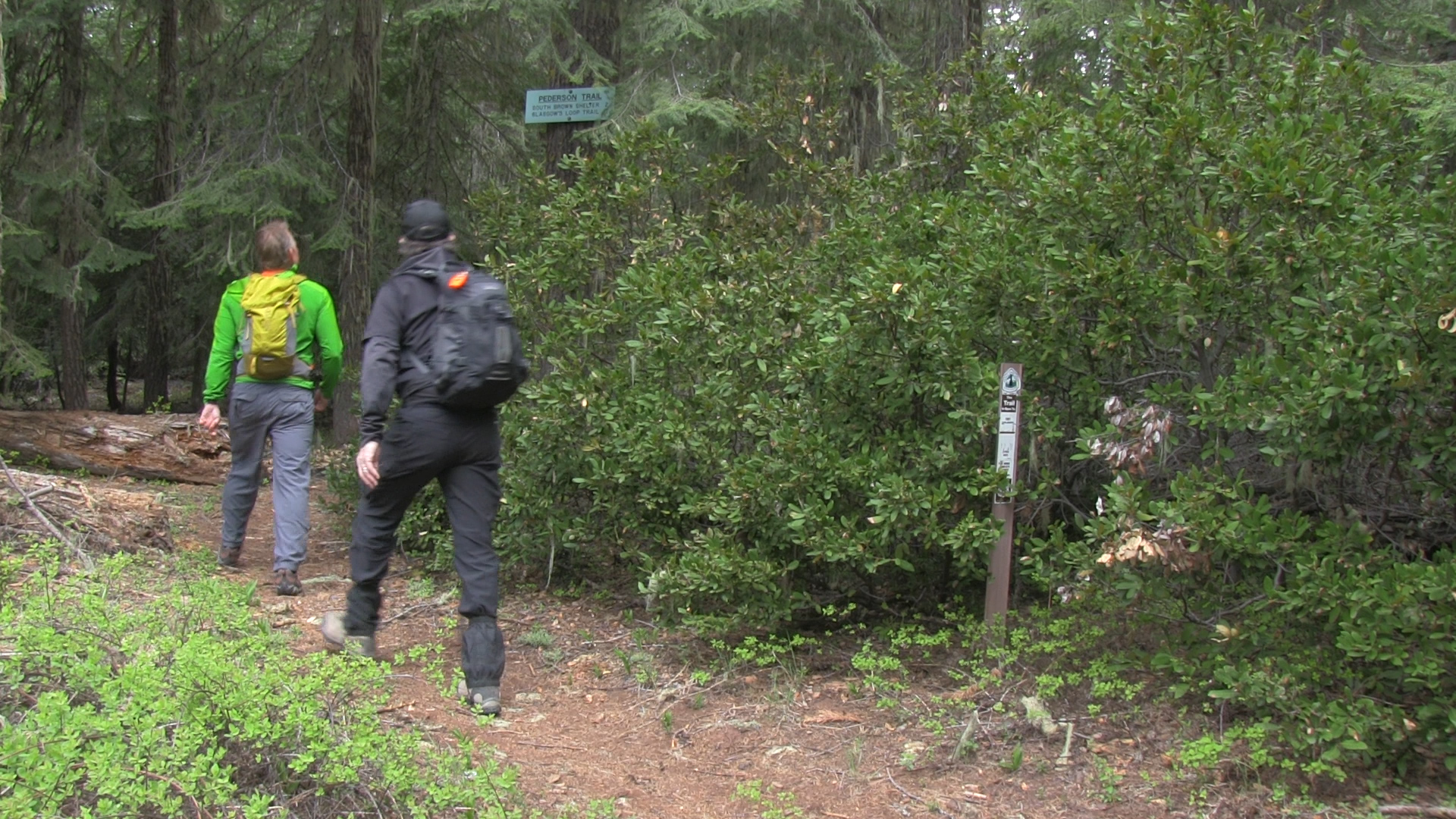
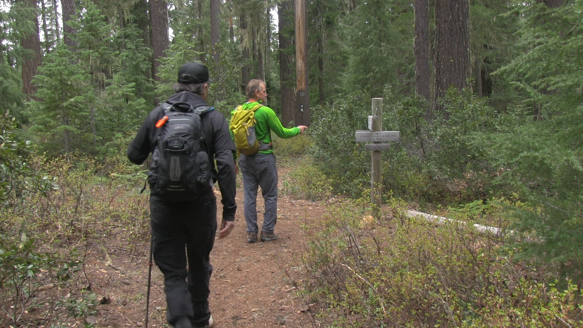
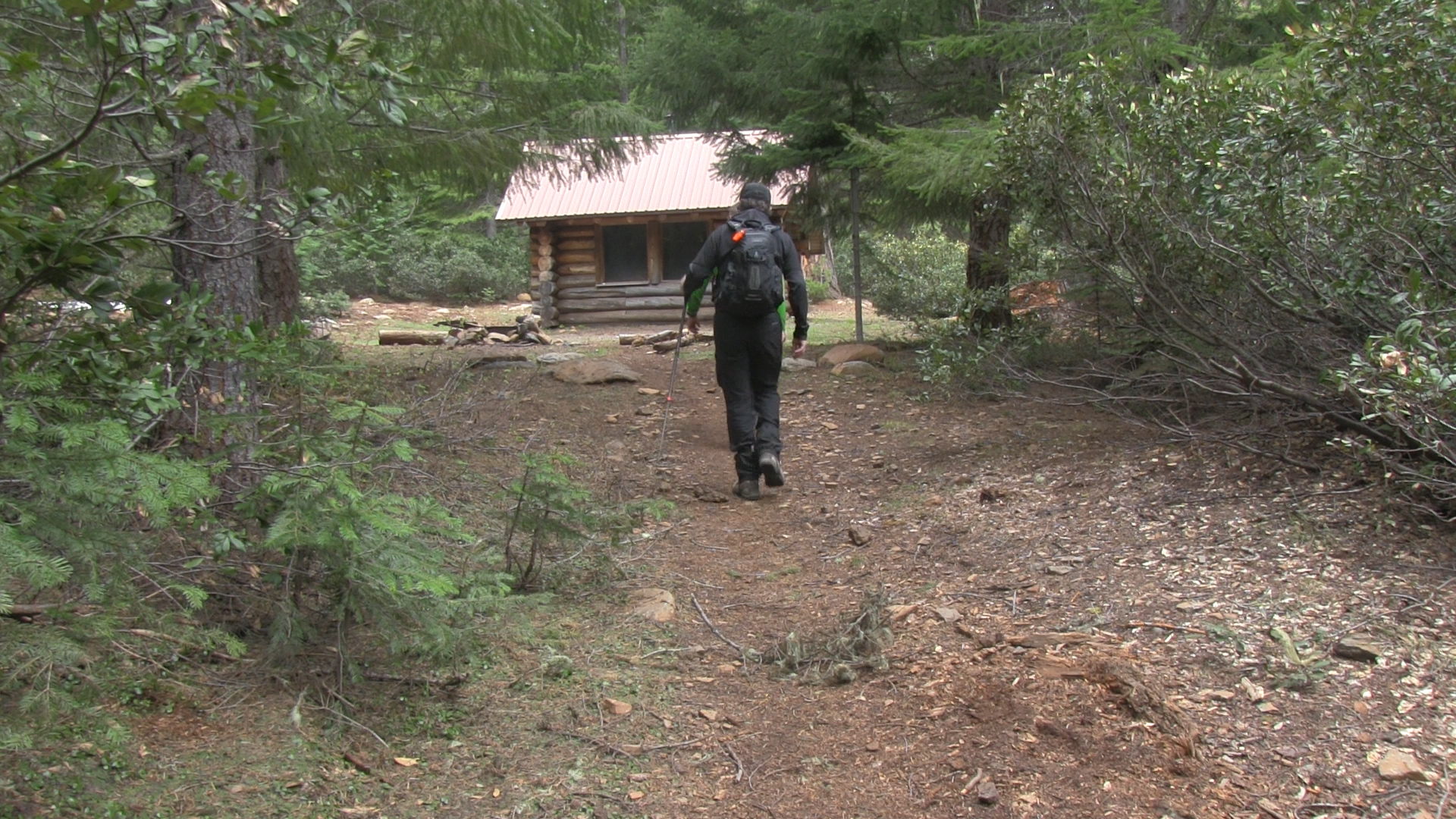
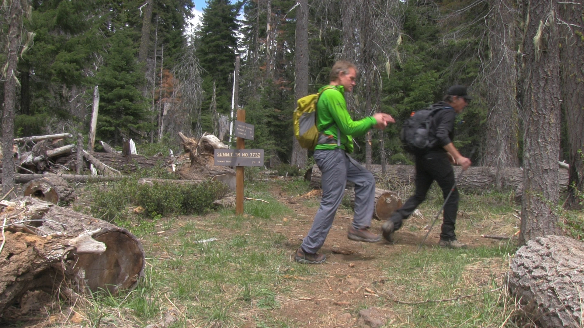
– The PCT crosses through the parking area and across Dead Indian Memorial Road and so should you. Leave your parked car on the right and run across the road to the left where you’ll see a decent PCT trail sign. There will be a couple signs along the trail mentioning the Pederson Trail but we are ignoring that today. What we are not ignoring is The Shelter. At the 2 mile mark there is an intersection with signs and arrows pointing to “water.” You must absolutely take this and within 100 years you’ll find a fantastic shelter for winter hikers and through hikers. And a working hand pump! The cabin is stocked with all the emergency supplies you could want but we’ve just hiked 2 miles so you shouldn’t need anything here. Maybe bring some non-perishable snack or surprise for a tired and smelly through hiker!
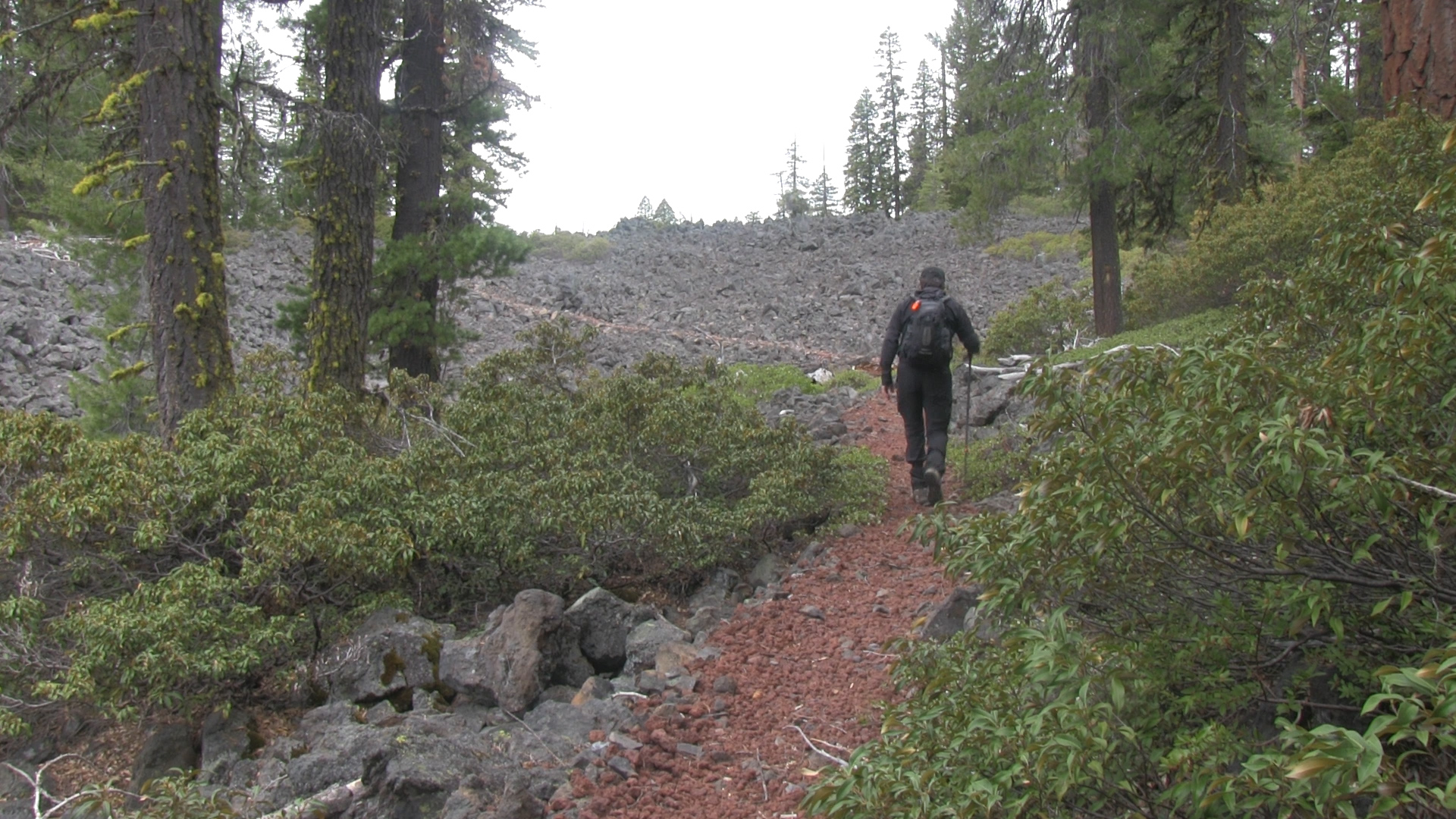
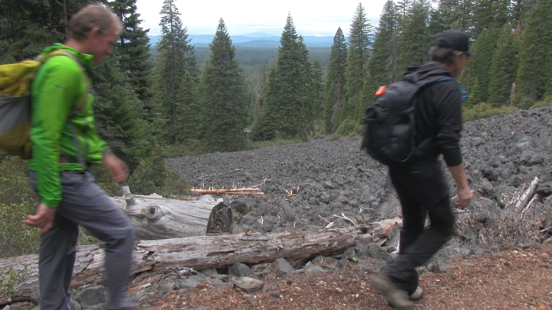
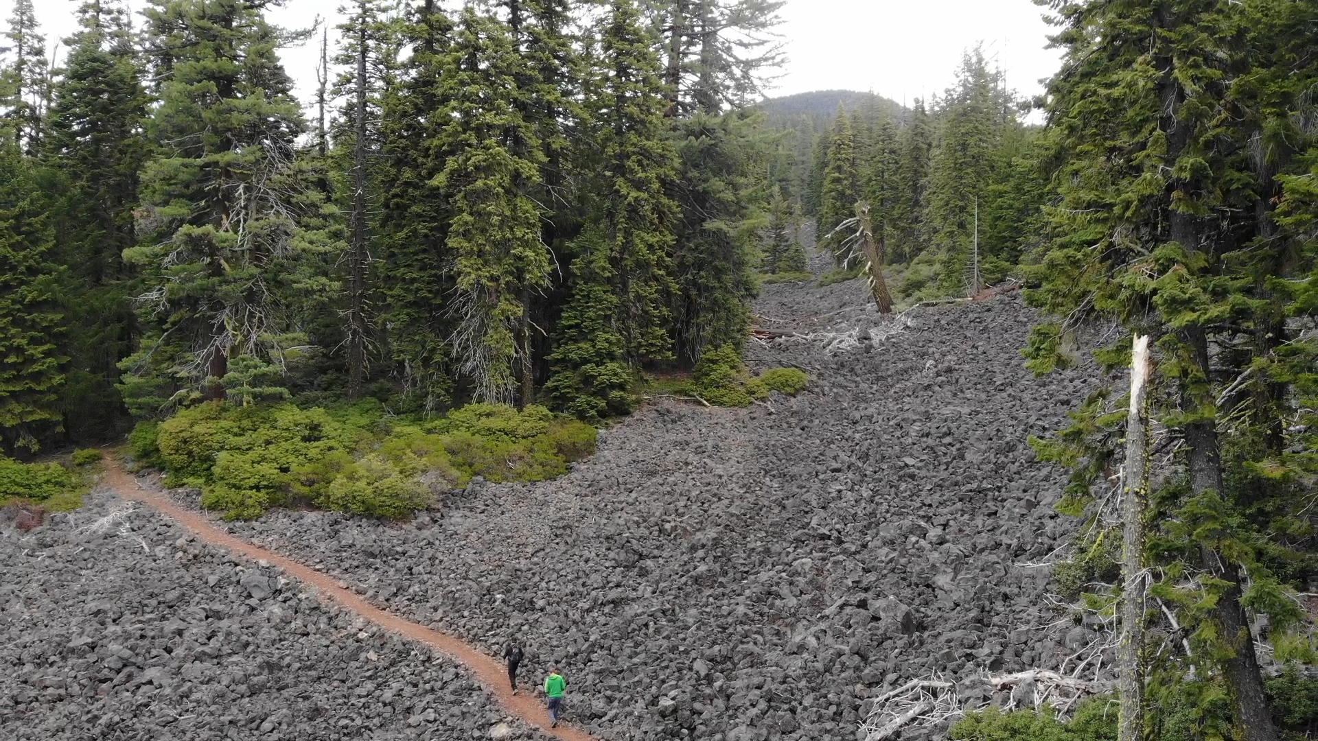
Now back to your regularly scheduled trail. The next 4 miles are mellow and shaded and you will cross a well-used dirt fire road. Where it comes from and where it goes to may have something to do with Prescott Loop Trail, so continue ignoring it! Stay on the well marked PCT and at mile 6 you will start crossing the lava fields along the base of Brown Mountain. Just “Follow the Red Lava Road.” The munchkins who built this section of trail should be awarded some kind of Oregon Medal of Trails! All that small red landscaping lava rock smoothing out the big black lava rock? Functional AND fashionable.
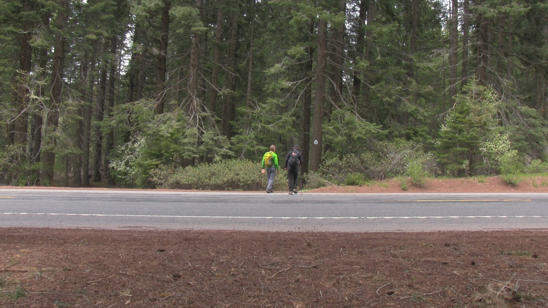
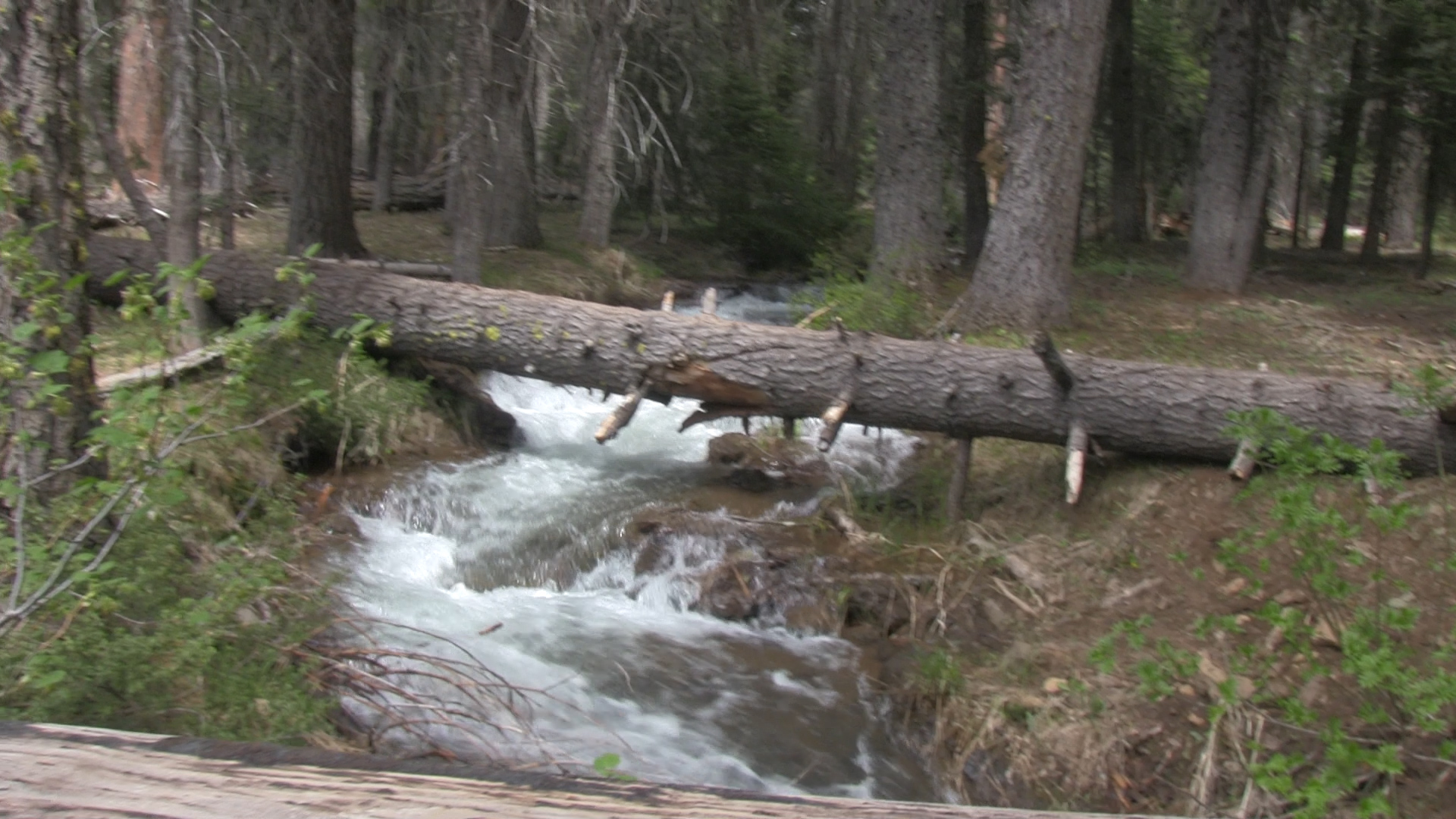
The trail dips from rock flow to forest over and over for the next 4 miles and then drops down into a regular old enchanted forest of Oregon. You’ll cross the popular High Lakes Trail right before you get to Highway 140. Cross that road and the PCT will cross a creek to the left and then cross back again before it takes you to the enormous Summit Trailhead parking lot and your shuttle car. And from the parking lot here you will finally get your best view of Brown Mountain.