
Timewarp
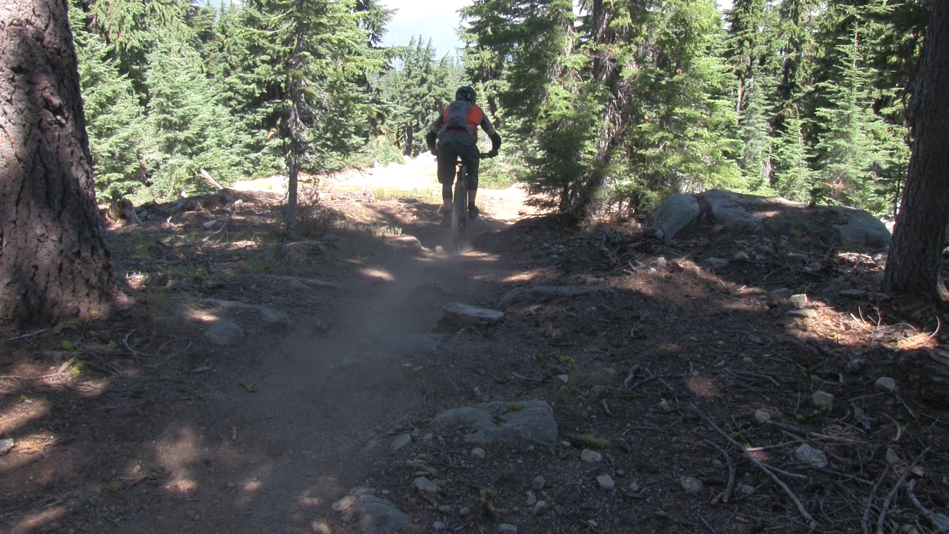
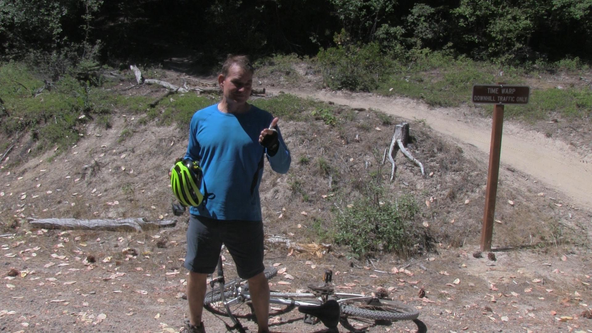
TimeWarp is a fast, rocky, and difficult 3 mile downhill trail off the backside of Mount Ashland. Don’t worry, if you crash it’s only a 15 mile bike drag back to town.
Driving
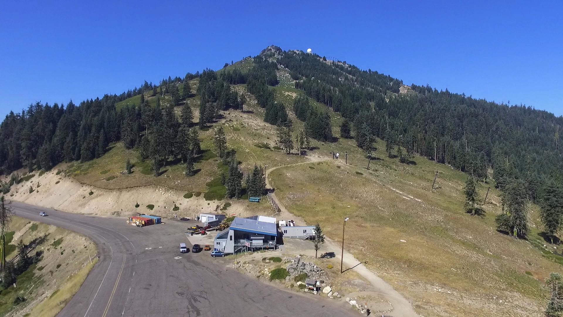
– It’s a 45 minute drive to the top of the Mount Ashland ski area. Get on Interstate 5 any way you can and head towards California. Take the Mount Ashland exit and follow the signs to the ski area. You will take a right turn soon after you exit the Interstate. That road winds all the way to the top of Mount Ashland.
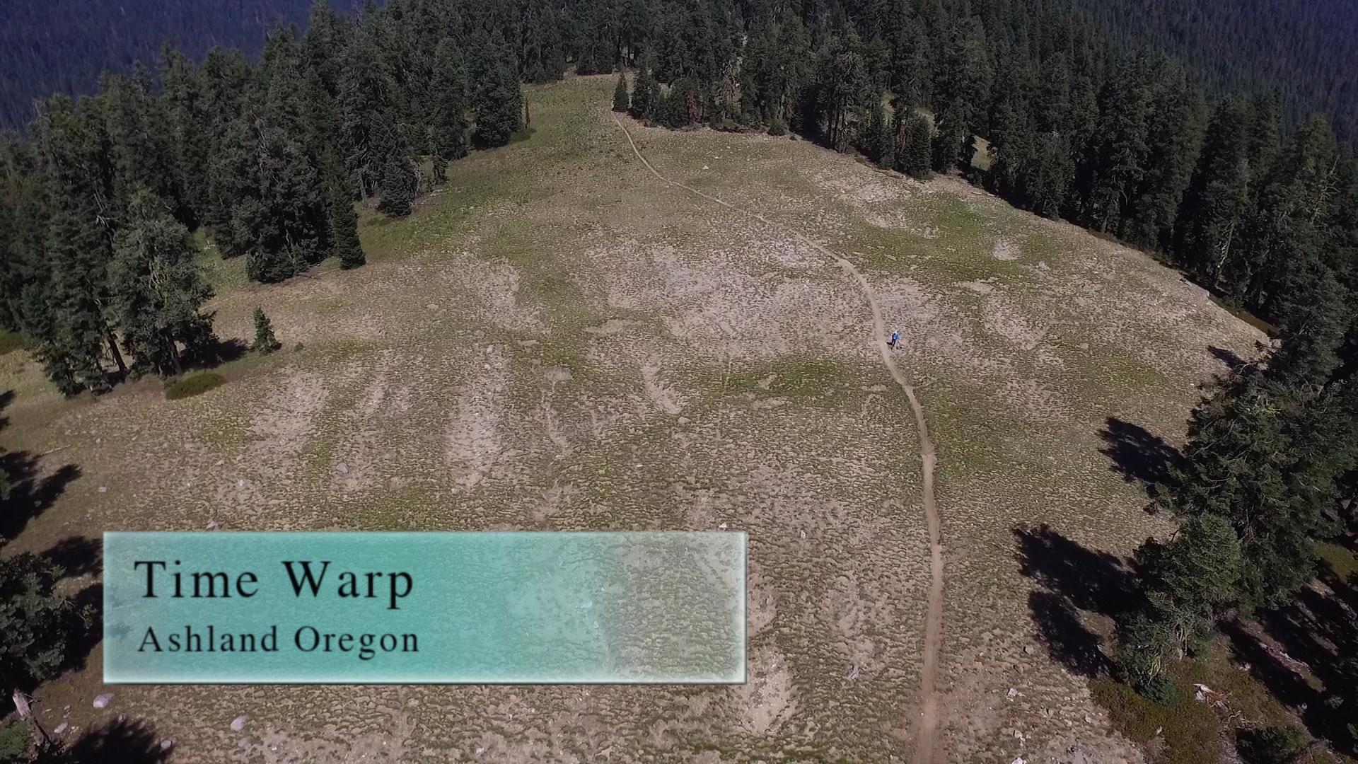
**Note** In the summer, you can drive past the ski lodge and continue up the dirt road towards the top of the ski lifts. Another mile passed the lodge, and before you actually reach the summit, there is a small lot to your left. No signage, just a few “don’t kill wildflowers” signs. That is the greatest, laziest, Time Warp drop off spot.
Parking
– At the ski lodge there is an infinite amount of free parking! When there’s no snow, there are no skiers! But if you’re riding Time Warp, you shouldn’t be parking up here. How are you getting back up to your car, right!? Ashland Mountain Adventures has a shuttle, or you can be all macho and pedal up here, or you can ask your boyfriend real nice to drop you off and then meet you back down in town.
I have been told that if you leave your car on the mountain overnight, the bears will eat them.
The Trail
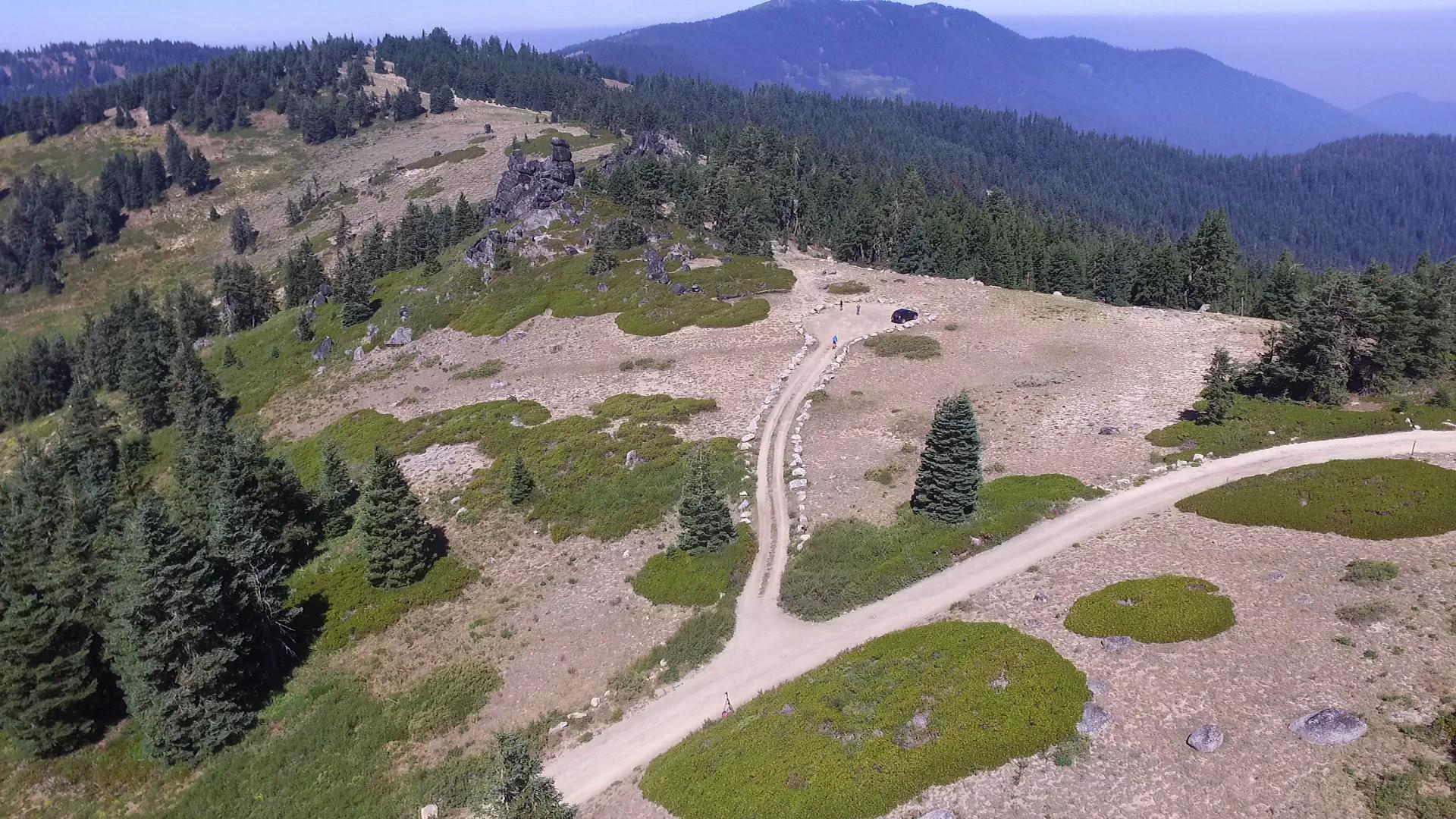
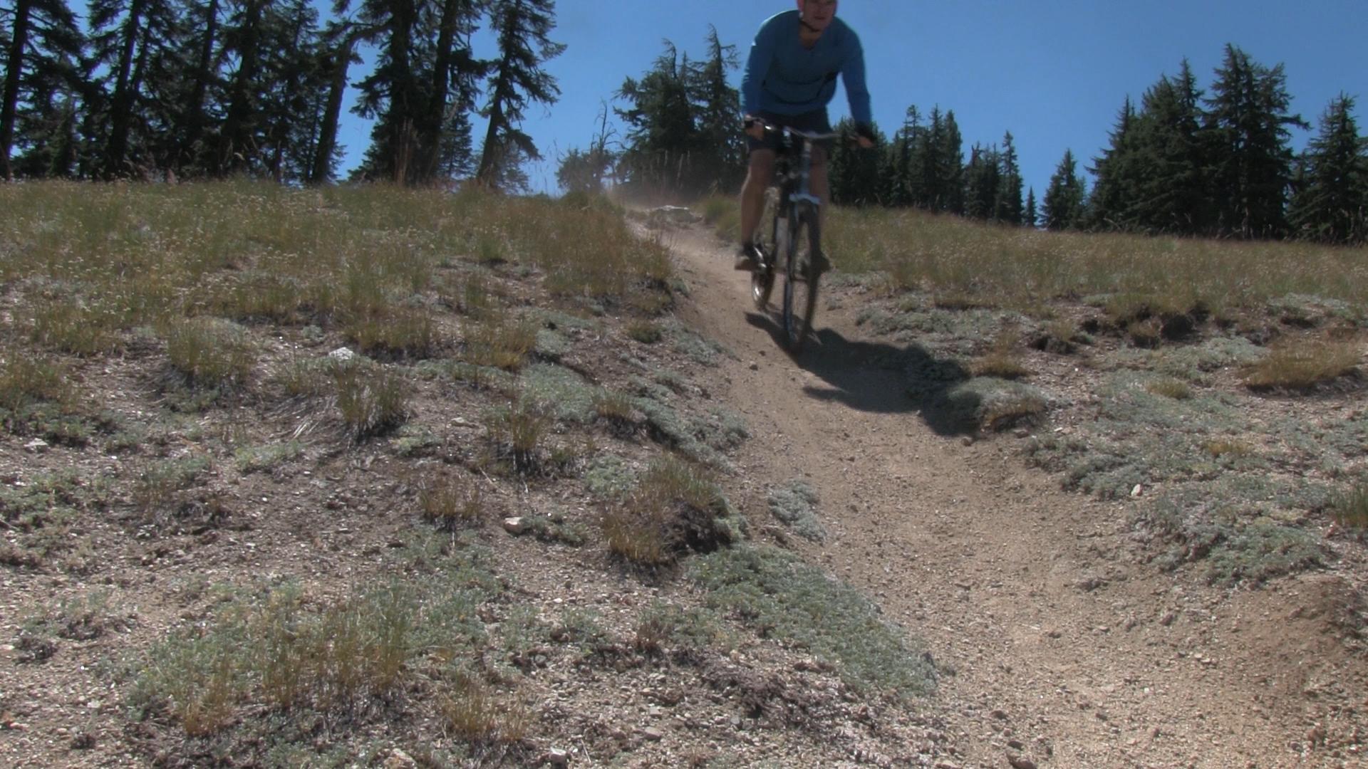
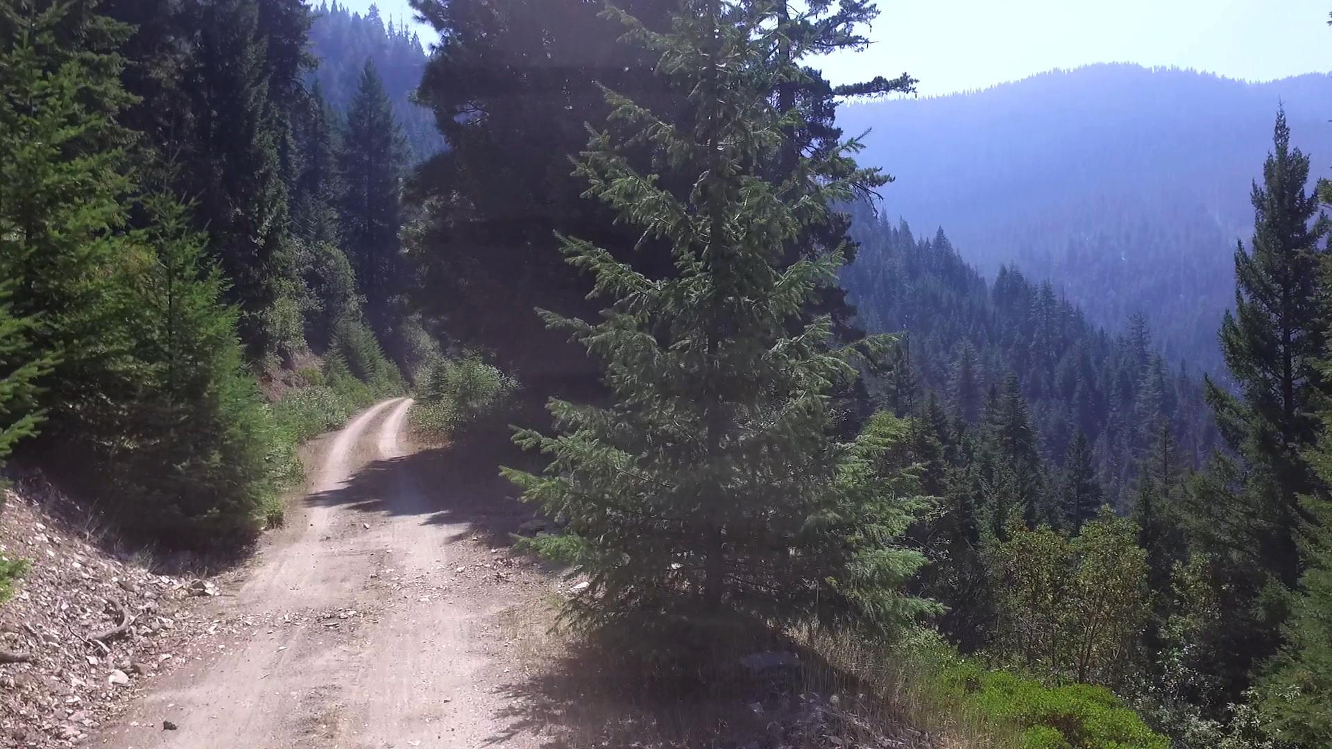
-Let’s pretend you are smart, and got a ride up to the ski lodge. You ride on, continuing around the peak of Mt Ashland. That really long parking lot becomes a dirt road and you stay to the right always heading uphill. There is a spur that heads down before the campground – downhill is always tempting, but don’t take it! Keep going up and the road will split again after the campground. The right fork is a tougher uphill and yes, you. must. take. it. Within 300 yards there is a dirt parking area to your left. Now you can stop going up. The peak of Mt. Ashland is visible to your right, but the trail head is near, so let’s stay focused, okay?
Coast into the parking area and there are signs saying “Delicate plants! – Stay away” and “If you love nature, you will go home right now!” They really want people not to just lumber about the hillsides up there. BUT… your legitimate TimeWarp trail head is right there. There are no signs. But if you’ve hiked 2 trails in your life, you will see the trail. Why are there no signs? I ascribe it to local mountain bike tribal culture. Locals think all California people can read, and will ruin everything. Fact is only 60% of Californians can read non-cell phone related items, and only 30% will ruin everything.
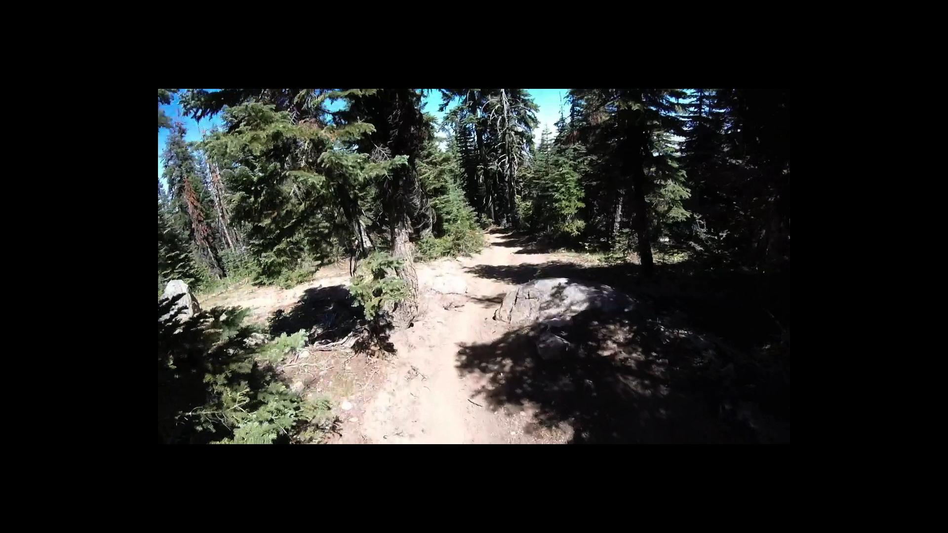
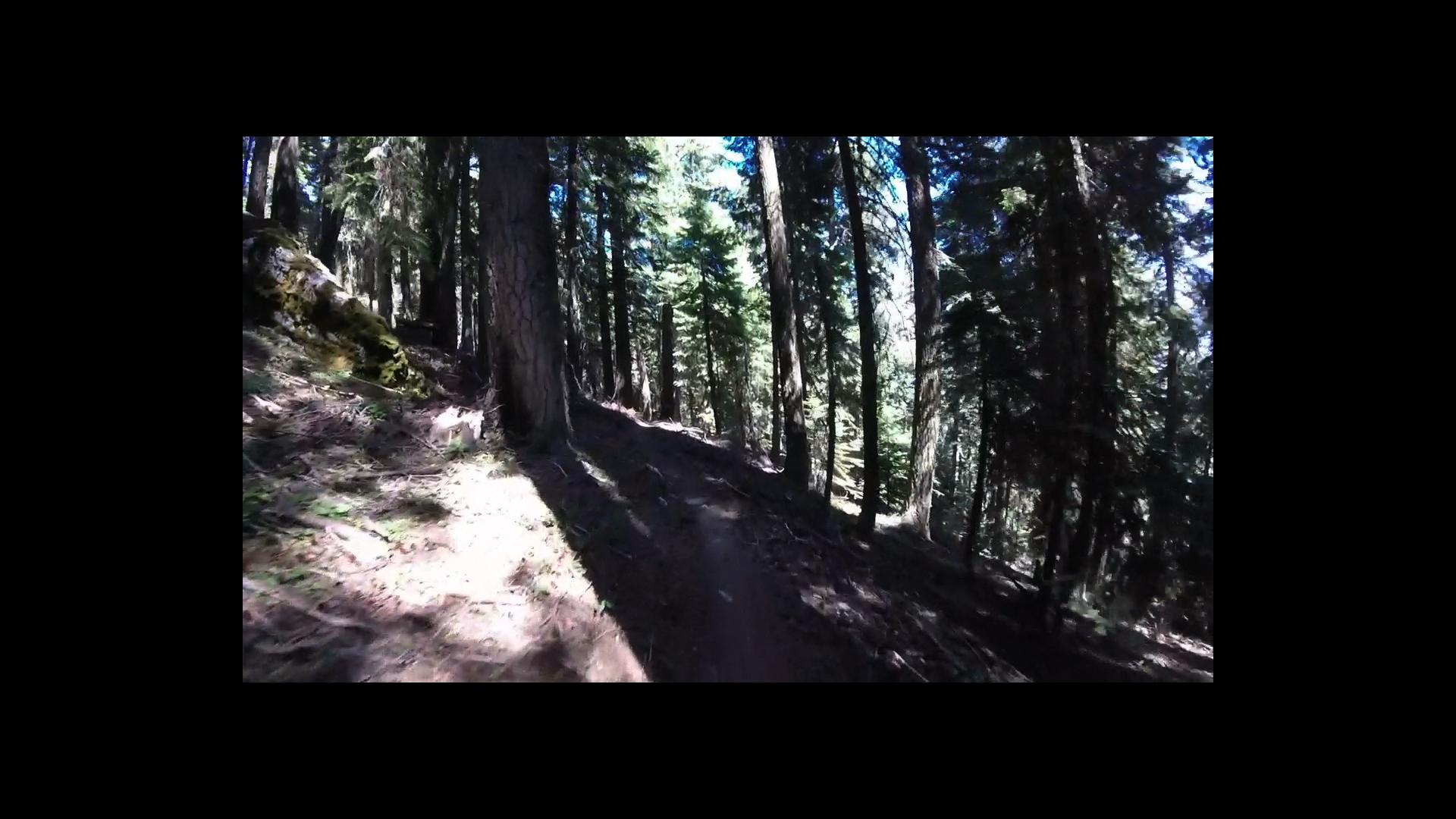
The next 3 miles are the real deal. 1/4 mile more of mixed, sandy uphill and then 1 mile of rocky rocky (yeah, that’s 2 rocky’s on purpose) trail with log-offs and rock-offs. Then, the last 2 miles are steep and jumpy and – still some rocks, but not too bad – but tight turns mixed with longer, fast runs.
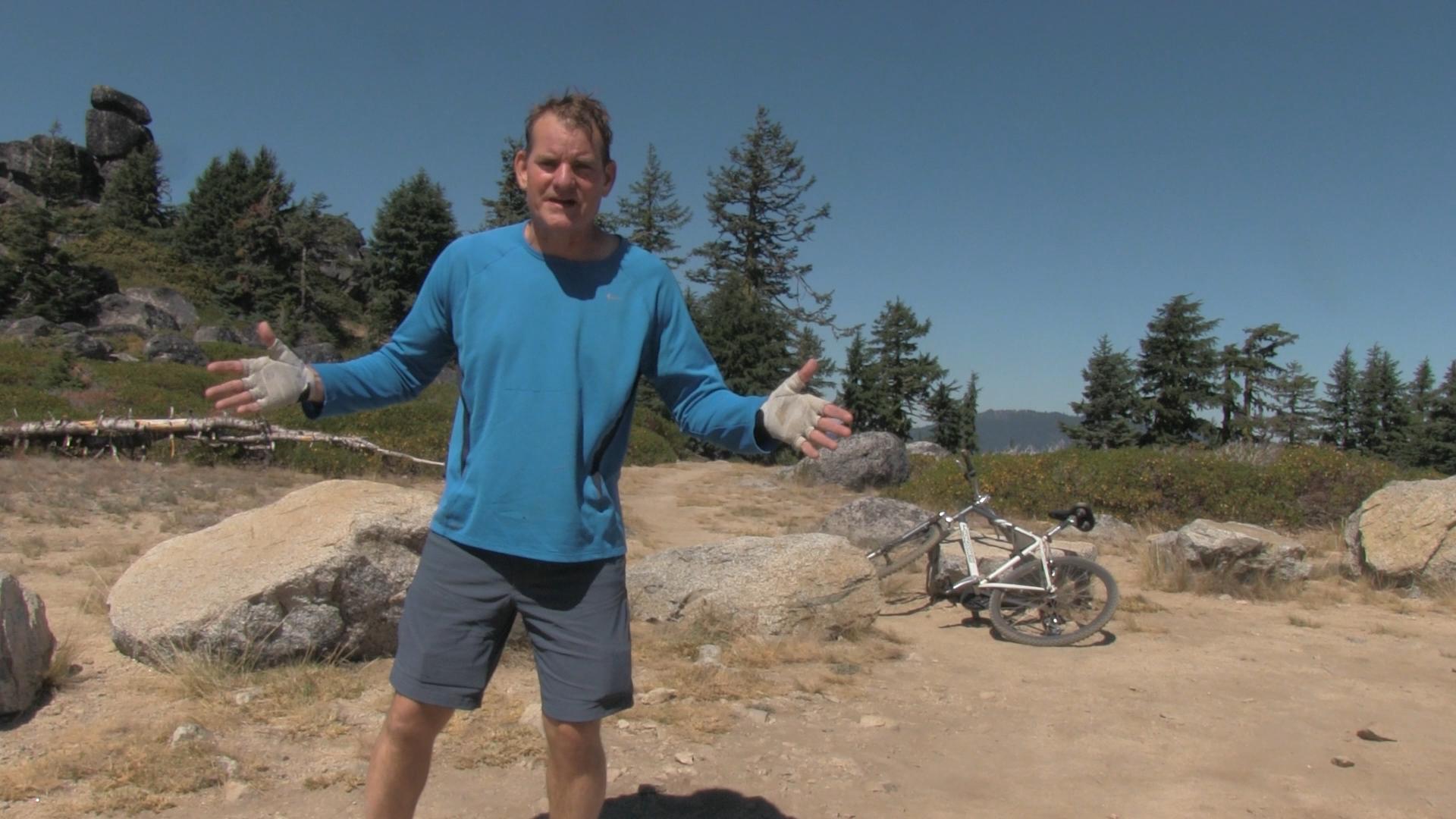
My bike broke from the pounding. A shifter explosion. I was told I’d need at least one tire repair but I didn’t and I don’t know how I escaped that. When I rolled out onto the 2060 loop road, I cried a single tear of joy and fear.
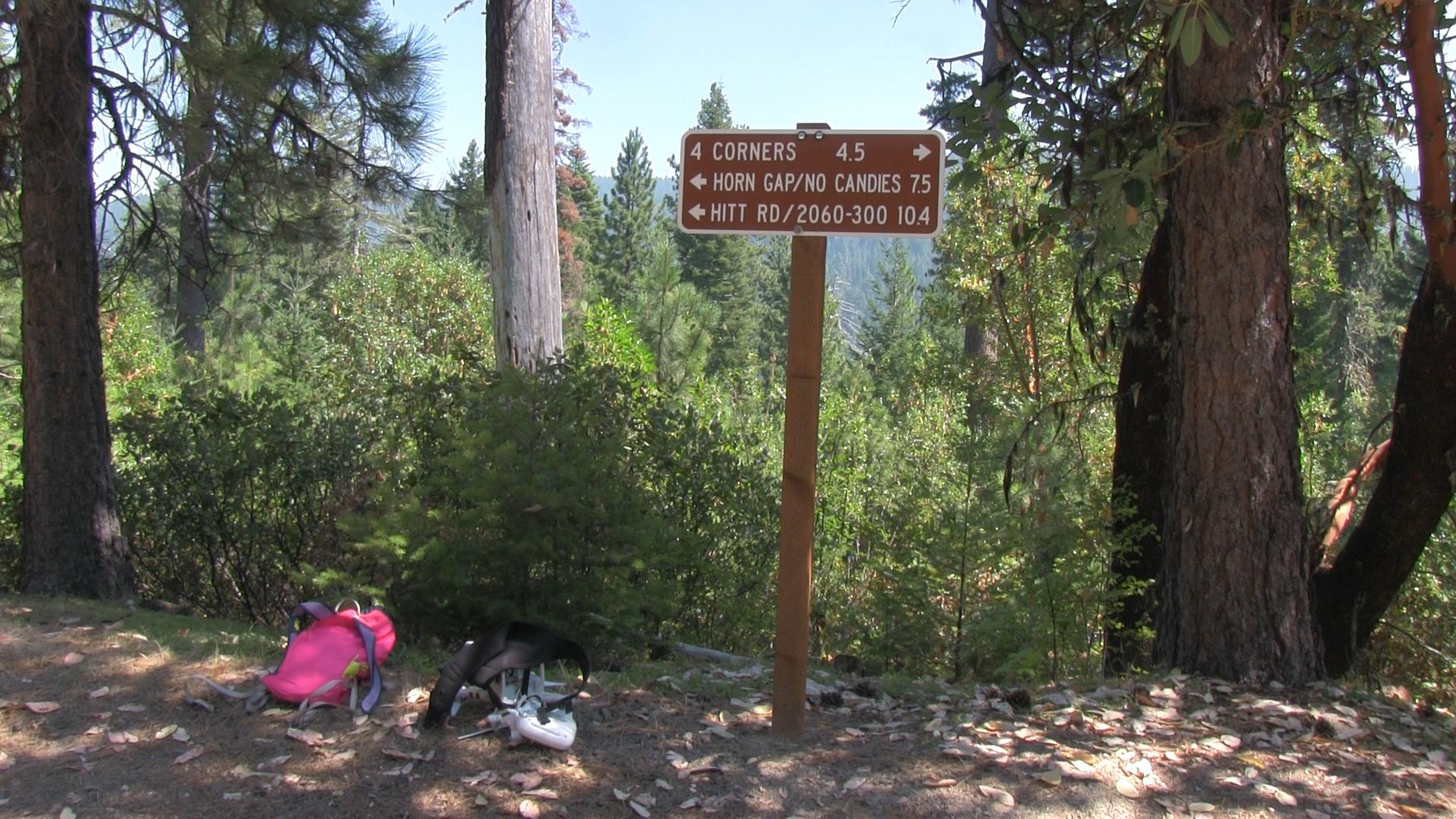
Now What
-You are now 12 miles from town. Turn right and you take the 2060 Loop Road to Four Corners where you can hit Catwalk Trail, Marty’s, Caterpillar, Lizard, and BTI. Turn left and you take the 2060 Loop Road to Horn Gap Trail, Potlicker, No Candies, Moai, Mystical, Rickety, Hitt Road, and Fell on Knee. I think turning right is shorter by a couple miles. If you are tired turned right, if you are jones-in for more, turn left. The trails are all here on AshlandTrails.com