
Buck Rock Loop
The Buck Rock Tunnel was never finished but started on both sides. This 5 mile loop passes both tunnels but you gotta look carefully!
Driving
– It’s a 25 minute drive from Ashland. About 13 miles. Start off toward Emigrant Lake heading south on Siskiyou toward SOU. Take Ashland Street left toward Interstate 5, cross the freeway, sweep 90 degrees to the right and you are now on Green Springs Highway. Pass Emigrant Lake on your left and just as you cross over Emigrant Creek you will turn right on Buckhorn Springs Rd. A quarter mile to your right is a dirt road (39-2E-34) that heads uphill into the Cascade-Siskiyou National Monument lands. A newer sign calls it Emigrant Creek Road. Rattle your brains on this bumpy dirt road for 2 1/2 miles and voila!
Parking
– A posted, gravel, well-maintained lot to your left with room for a dozen cars and an official Buck Rock sign.
The Adventure
– There are many vague trail intersections along this trail so my Trail Video is especially helpful here. Please give it a watch. Alrighty then, you’ve been warned.
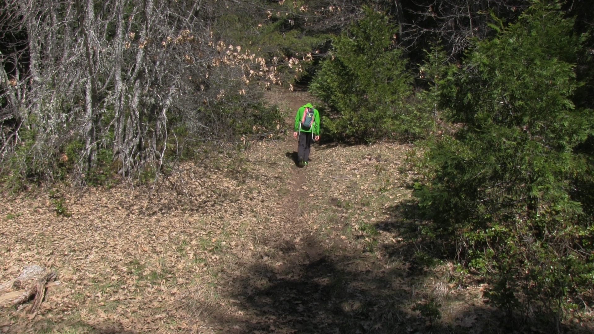
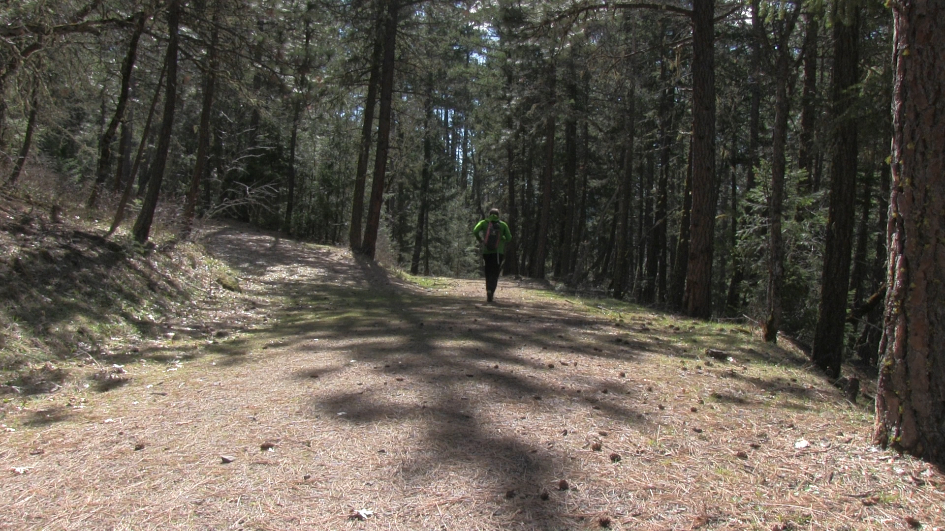
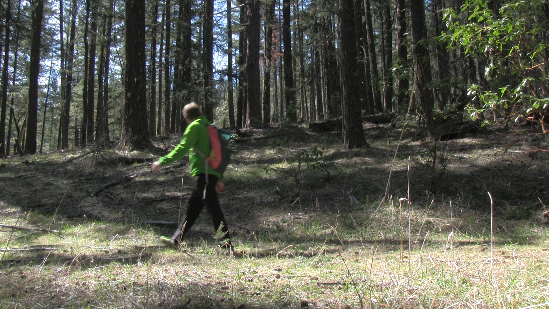
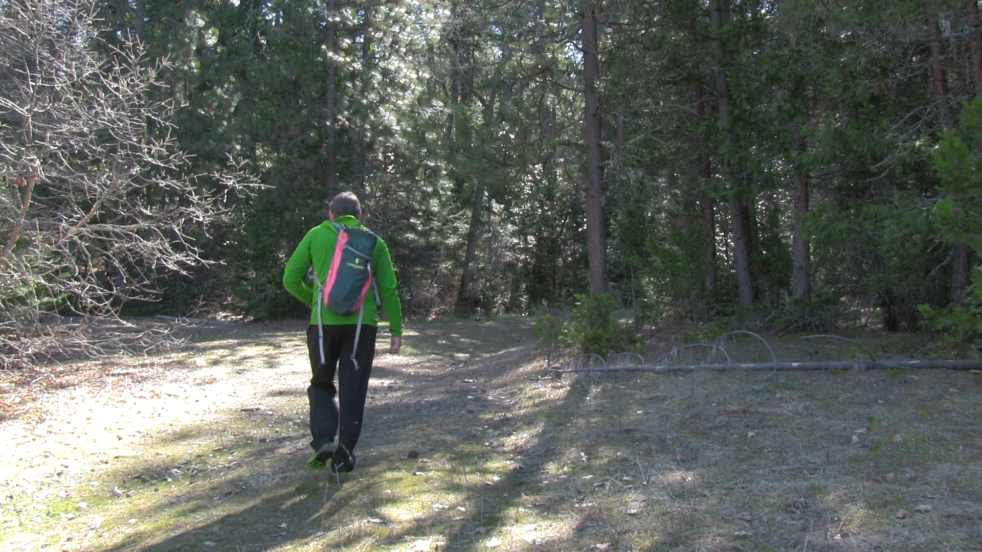
From the parking lot, cross the road and head around the yellow pipe gate. This is mostly overgrown fire road so tamp down your “quaint trail through the pines” expectations. The first half mile is uphill and reaches a definite ‘Y’. To the left is the east tunnel entrance so lets go left.
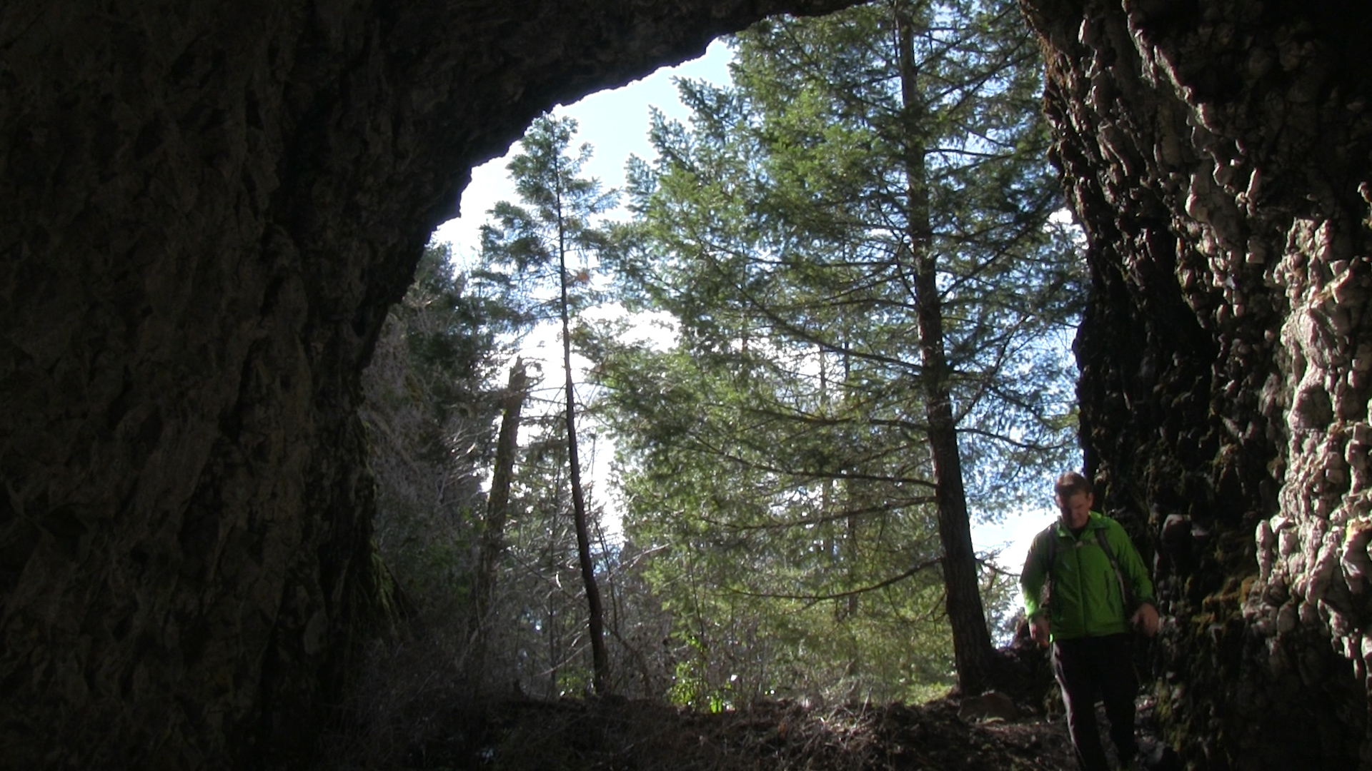
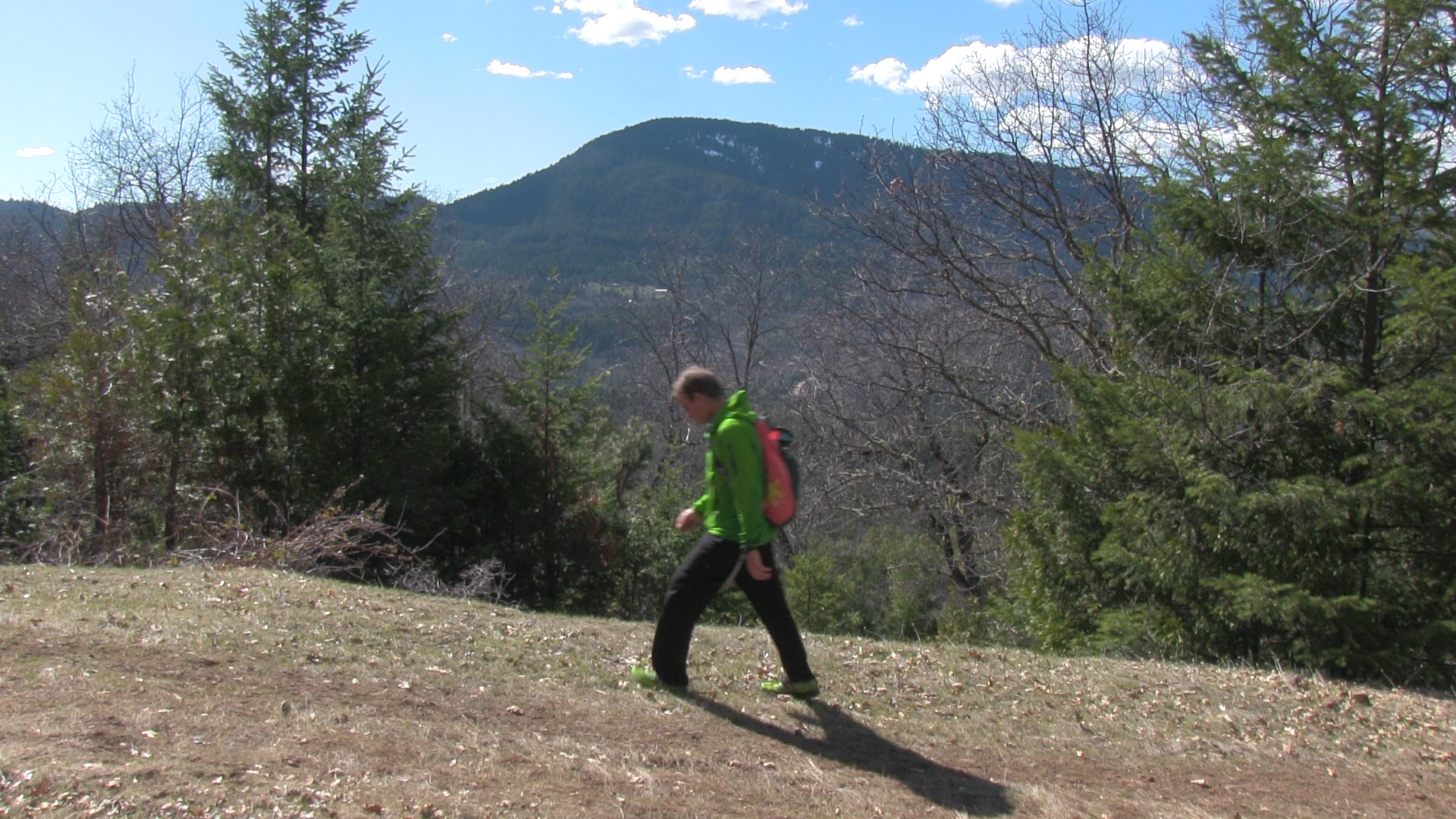
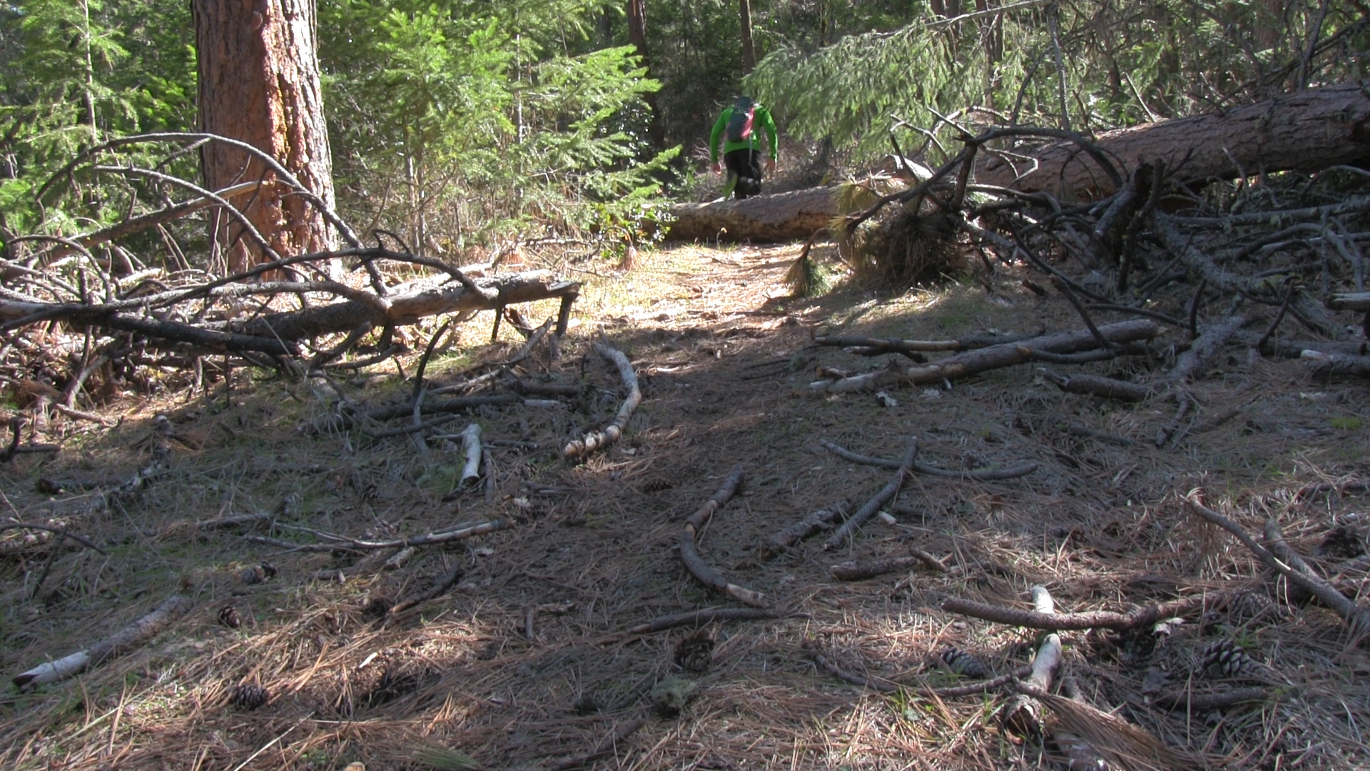
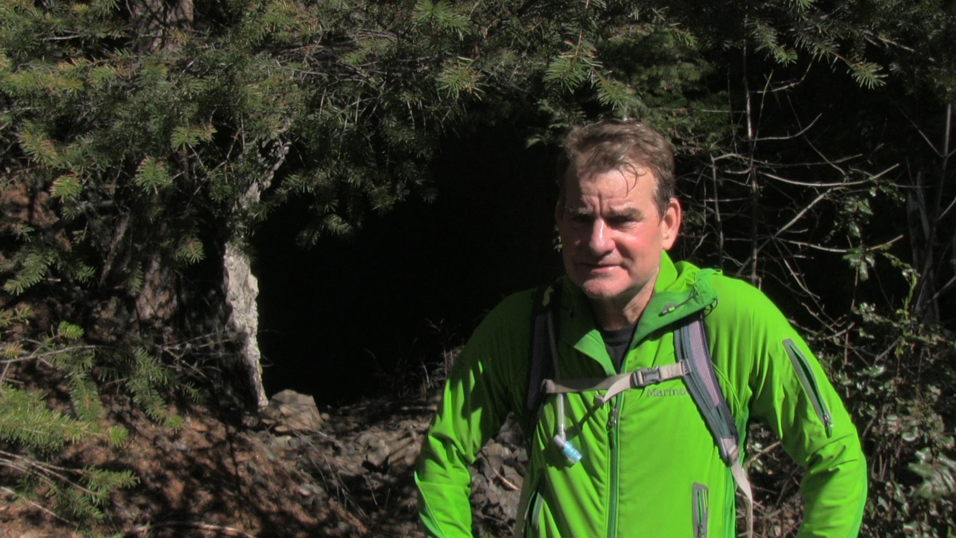
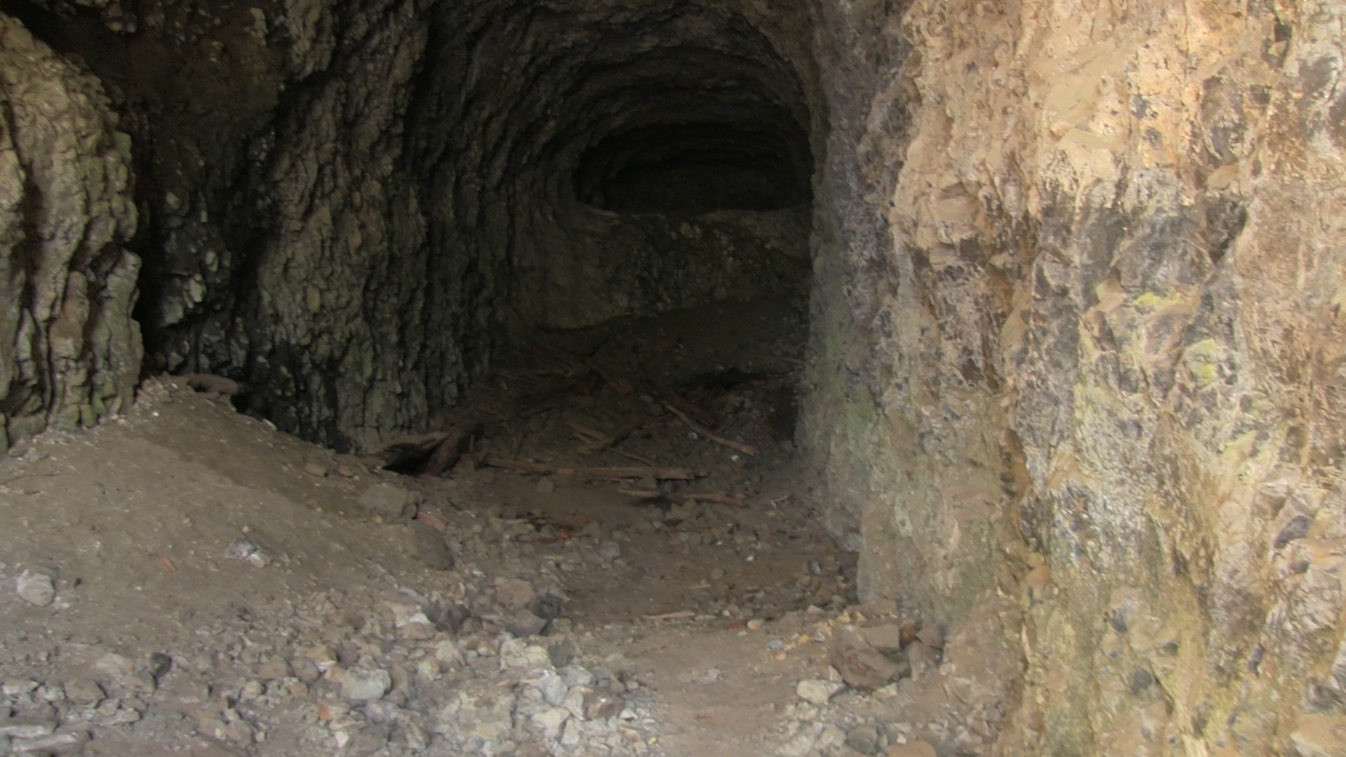
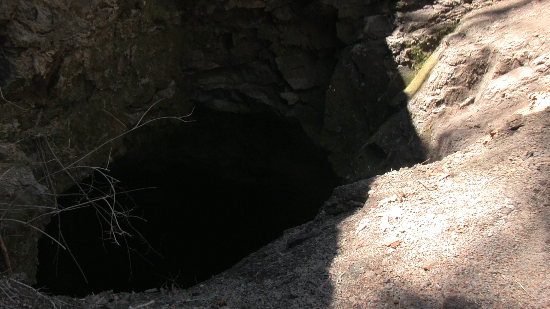
It’s about 1 ½ miles to the first tunnel. This section of fire road has a number of fallen trees to navigate and one short, brushy, thorny section where you negotiate a rock slide. Some clearings provide nice views and there is evidence of some pretty heavy equestrian traffic so watch your step. That goes for “hoof holes” and poop. You will reach a clearing that feels like an ending but to your right, the fire road continues straight uphill. Don’t take that yet. To visit the first tunnel walk up the shrubby draw just to the left. The tunnel has been mostly covered but if you climb up the slag pile at the end, the entrance is as the top. You can go on in if you brought your torch, garlic, crucifix, and silver bullets.
Now back to the uphill fire road. Head uphill for about ¼ mile and you will reach an opening with some trail options. Continue straight through the clearing and take the far trail that heads downhill and slightly to the right. Soon, you’ll reach another opening with a vague trail that seems to go uphill to your right. Don’t take it! Keep moving straight forward and slightly left. The downhill begins in earnest here and the next intersection is important.
While it feels natural to continue straight forward at the next trail intersection, the trail that heads down and to your left is the correct route so take that. Soon the trail flattens out and after about 1/2 mile of this flatness you have to keep and eye out to your right for the side trail to the second tunnel. This slightly bigger than a deer trail sometimes has flagging marking it, or a stone arrow on the ground, but again, watch the Trail Video. It’s about 200 yards uphill to the tunnel entrance and super worth the hunt. The trail runs up to the right 50 yards through a clear area and then uphill to the left into the pines. This “hill” is the old slag pile from the tunnel. The wide trench out from the mouth of the tunnel is brushy but noticeably unnatural. Another 100 yards and behold… The Tunnel! It’s pretty awesome. Now get out of there before the giant trolls return!
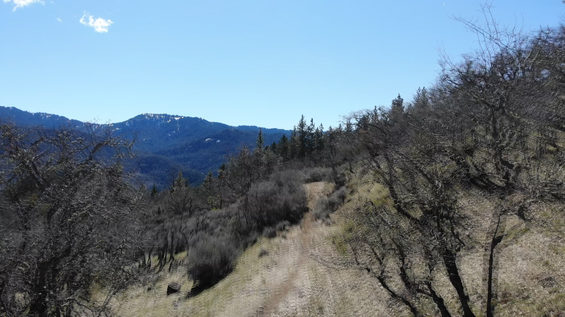
Now back to the main trail and continue to your right. The next intersection has a route heading uphill to your right. Skip it! That goes to the summit of Buck Rock… kind of. Look, we’re doing the loop right now so quit arguing. Continue straight. It’s almost been 5 miles and we are now back at the first ‘Y’ intersection thereby closing the loop. Now head down to your left and back to your car.