
Collings Mountain Trail

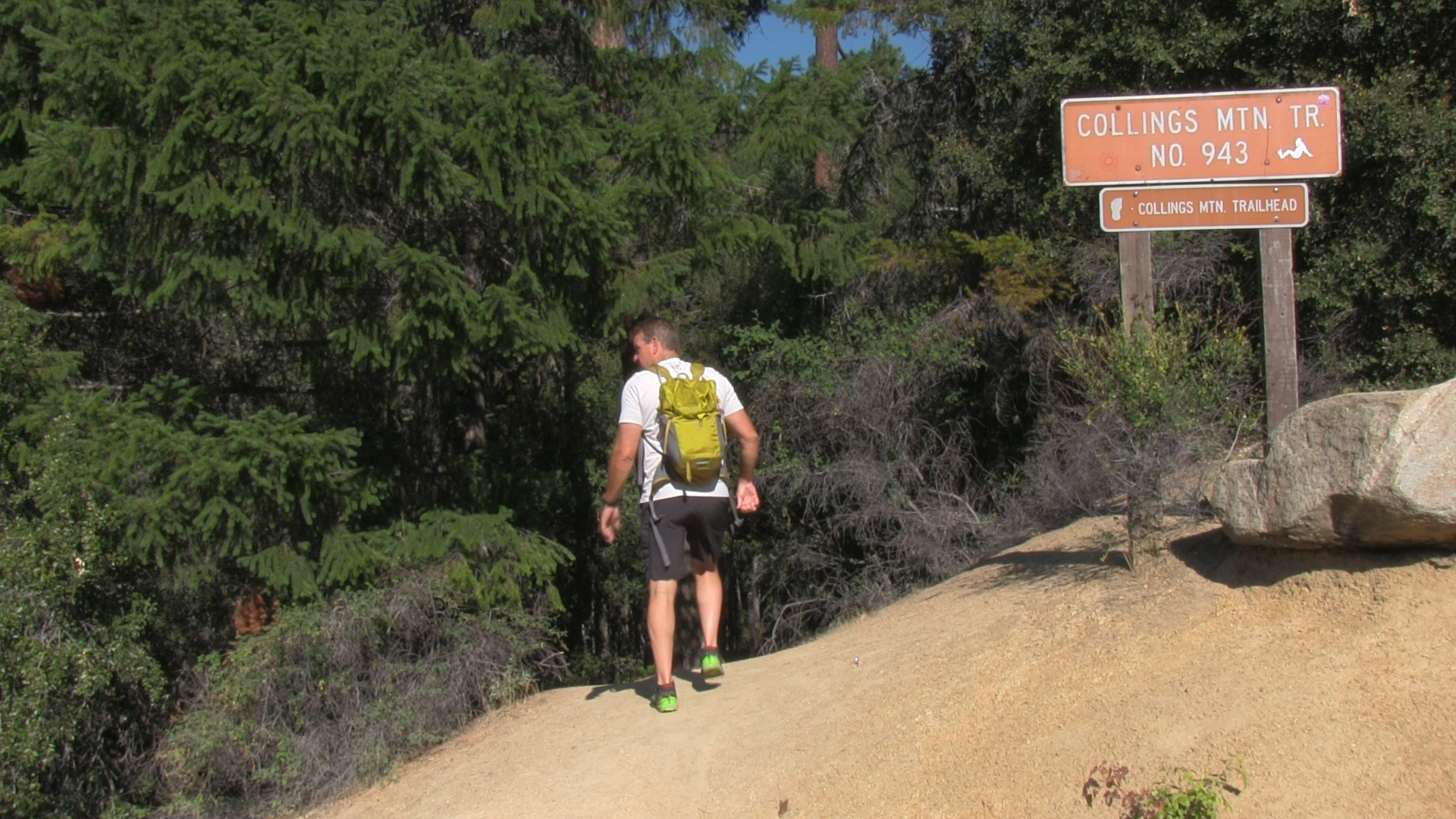

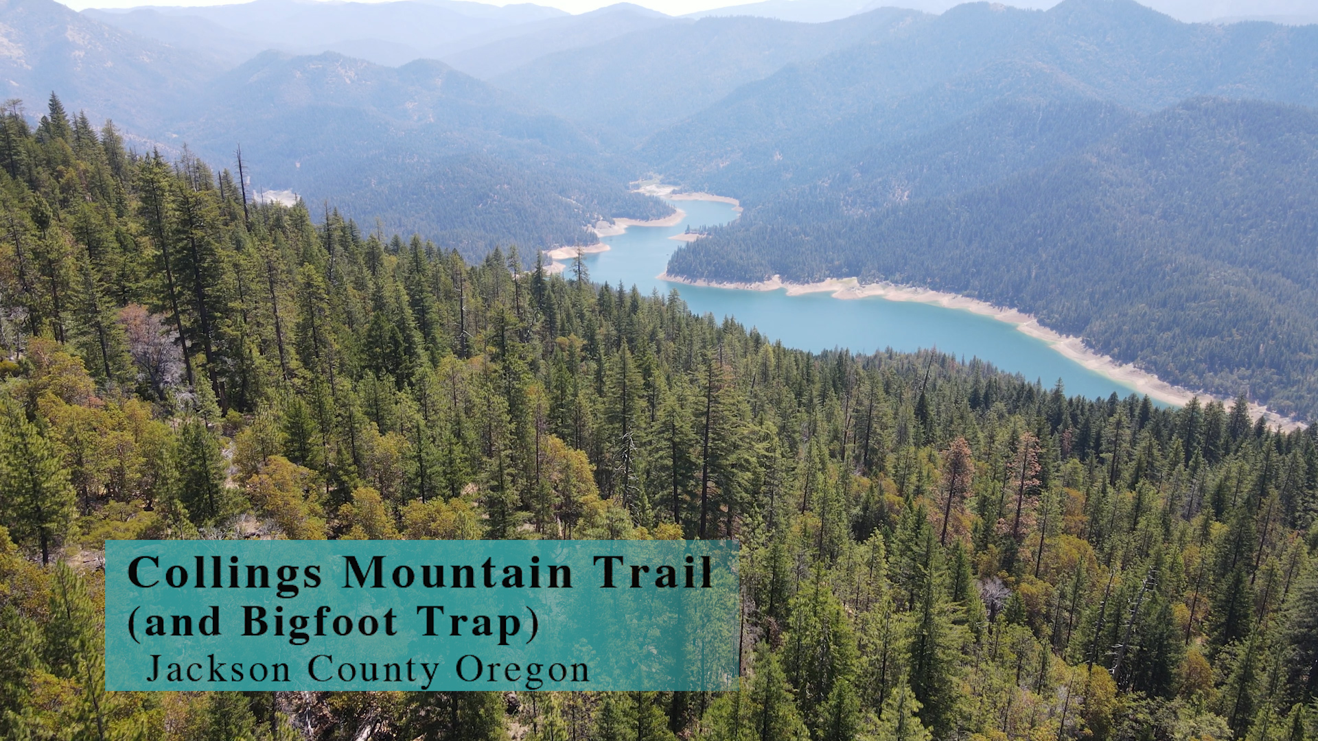
The Collings Mountain Trail is more than just a Big Foot Trap! This 8 mile out-and-back gets into some amazing “back side of the mountain” views.
Driving
– It’s an hour drive all on paved roads! Head north on the 5… just get there. Then get off on the Phoenix exit (before Medford) and turn left. Then, turn right on Highway 99 for less than a mile and turn left on South Stage Road towards Jacksonville. There’s a quick jog right and then left on Griffin Creek Road and then South Stage turns into California Road (of course) as you drive through Jacksonville.
As you emerge from Jacksonville you are on Route 238 heading to Applegate. It’s rural. It’s nice. Keep an eye out for Upper Applegate Road in about 10 minutes. You’ll turn left at a city called Ruch, but you aren’t going to see a city, you’ll just see a yellow church/school building. So turn left and you have 20 minutes on Upper Applegate Road driving along the Applegate River. Some roads split off, but head toward Applegate Lake and Applegate Dam. When you pass the dam and the lake to your left, keep looking left for the Hart-Tish campsite and store and parking and lake access and….there is a surprising amount of things happening right there.
Parking
– During the summer season there is plenty of $5 parking to purchase at the Hart-Tish camping store. The other 8 months of the year… you really gotta take your chances on some “moderately legal” parking spots with a maximum of 3 spots right at the trailhead. The Forest Service needs to step up and help out here.
The Adventure
– If you parked in the upper lot of the Hart-Tish camping area there is a trail at the top to the left that heads back to the Applegate Road you drove in on. It quickly splits – to the right is the Grouse Loop Trail and to the left is Collings Mountain. So… go left. When you reach the road in 100 feet, look both ways and run across!
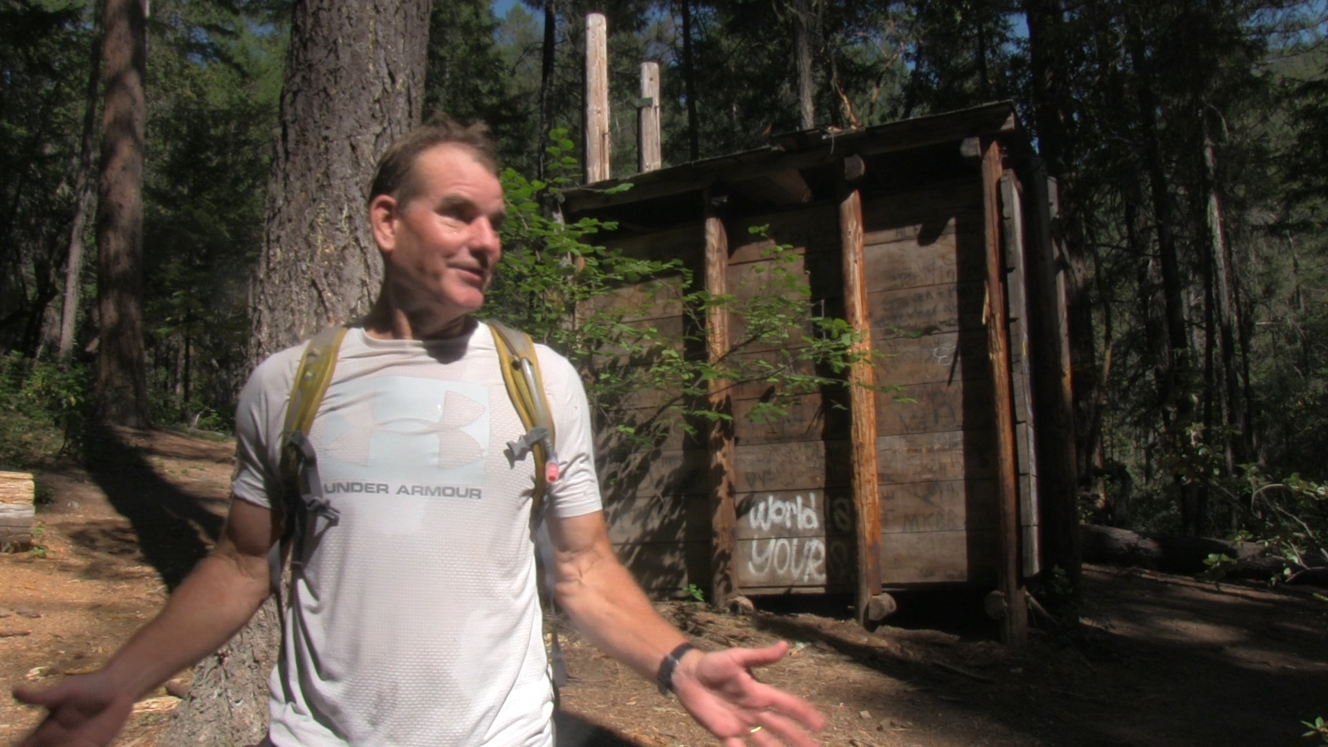
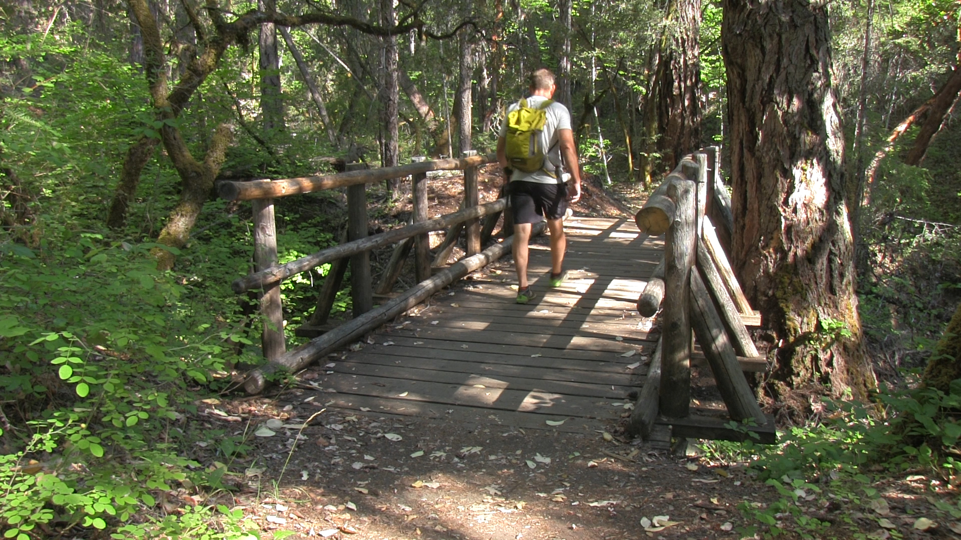
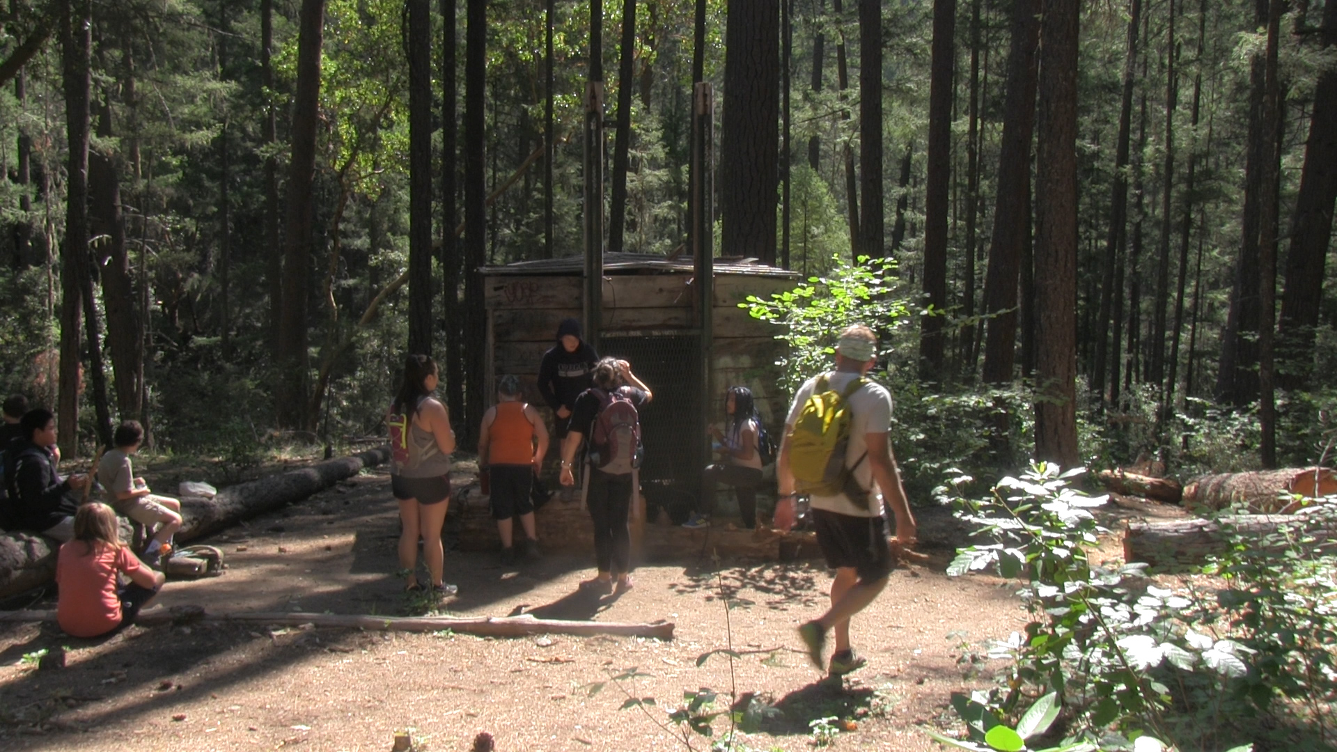
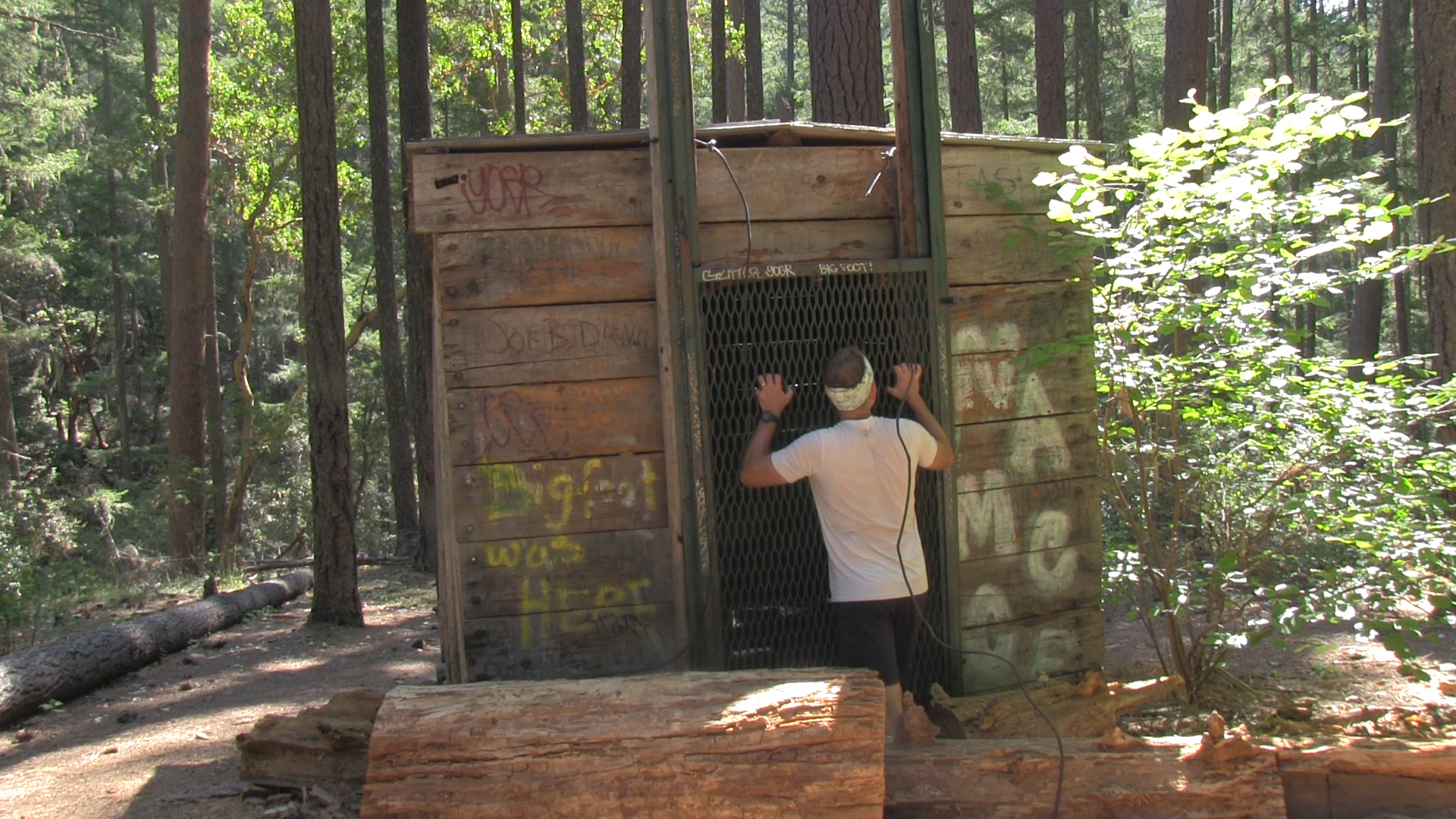
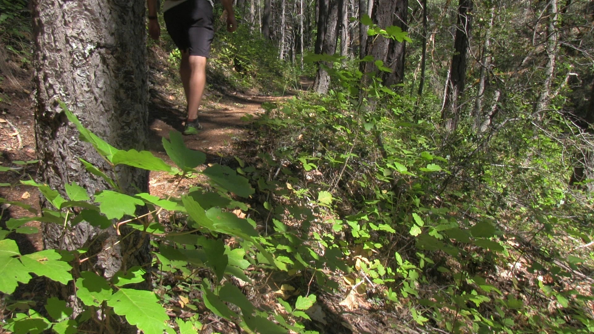
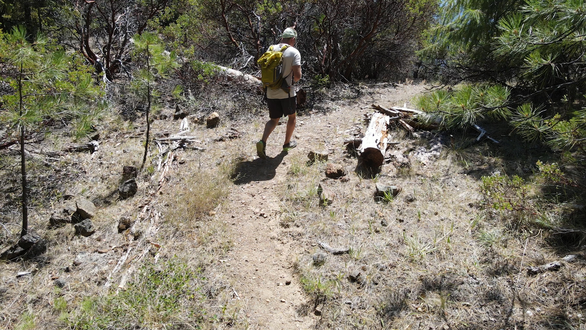
The trail has a big metal sign covered with Big Foot stickers, you can’t miss it. The first half mile criss-crosses the creek (climate change permitting) and is filled with poison oak and mosquitoes and other people. The Big Foot Trap is popular. The turn off to the trap is not marked and you can’t see the trap from the main trail so just remember that after 3 stream crossings take the first intersection trail left, uphill, and in 75 yards you will see the trap. Check it out, take your facebook photos, and then head back down towards the creek and continue on the Collings Mountain Trail.
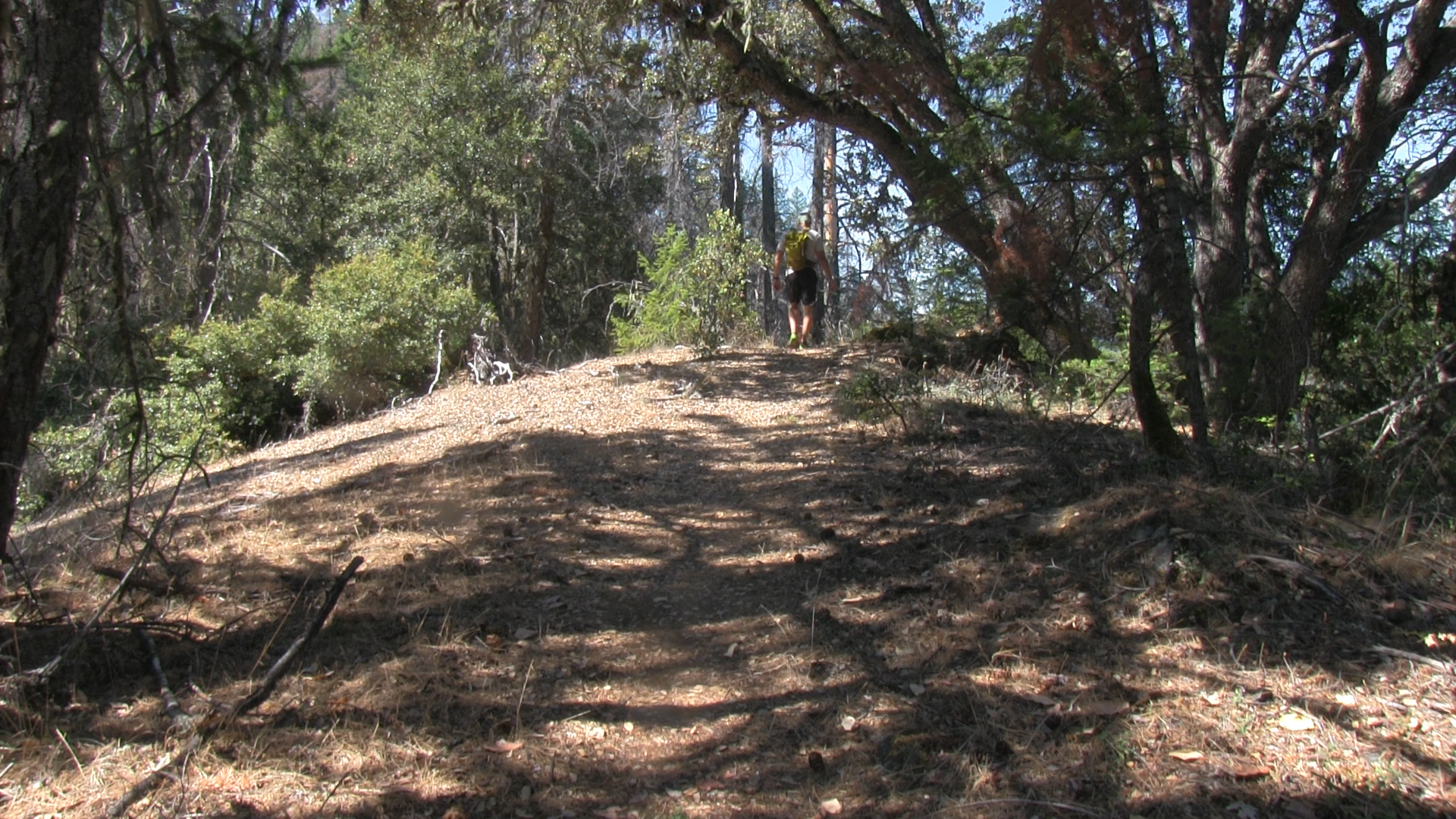
The next 2 miles is a steady uphill with fields of poison oak. When you reach a small peak with a view of the Red Buttes you’ll think to yourself, “felt like 4 miles. This must be Collings Mountain.” Bad news. Almost 2 more miles left. Good news… they are a fantastic rolling 2 miles with some huge Sugar pines and a completely different ecological vibe. Finally, you will reach a saddle that opens up and aims you back towards Applegate Lake. Collings Mountain is actually up to your left but not worth the no trail, poison oak scramble. Off to your right you’ll see a small peak of boulders and that is the unofficial end of this trail.
Collings Mountain Trail officially continues down for another 3 miles to the Watkins Campground on the far edge of Applegate Lake but that route is for weirdoes.