
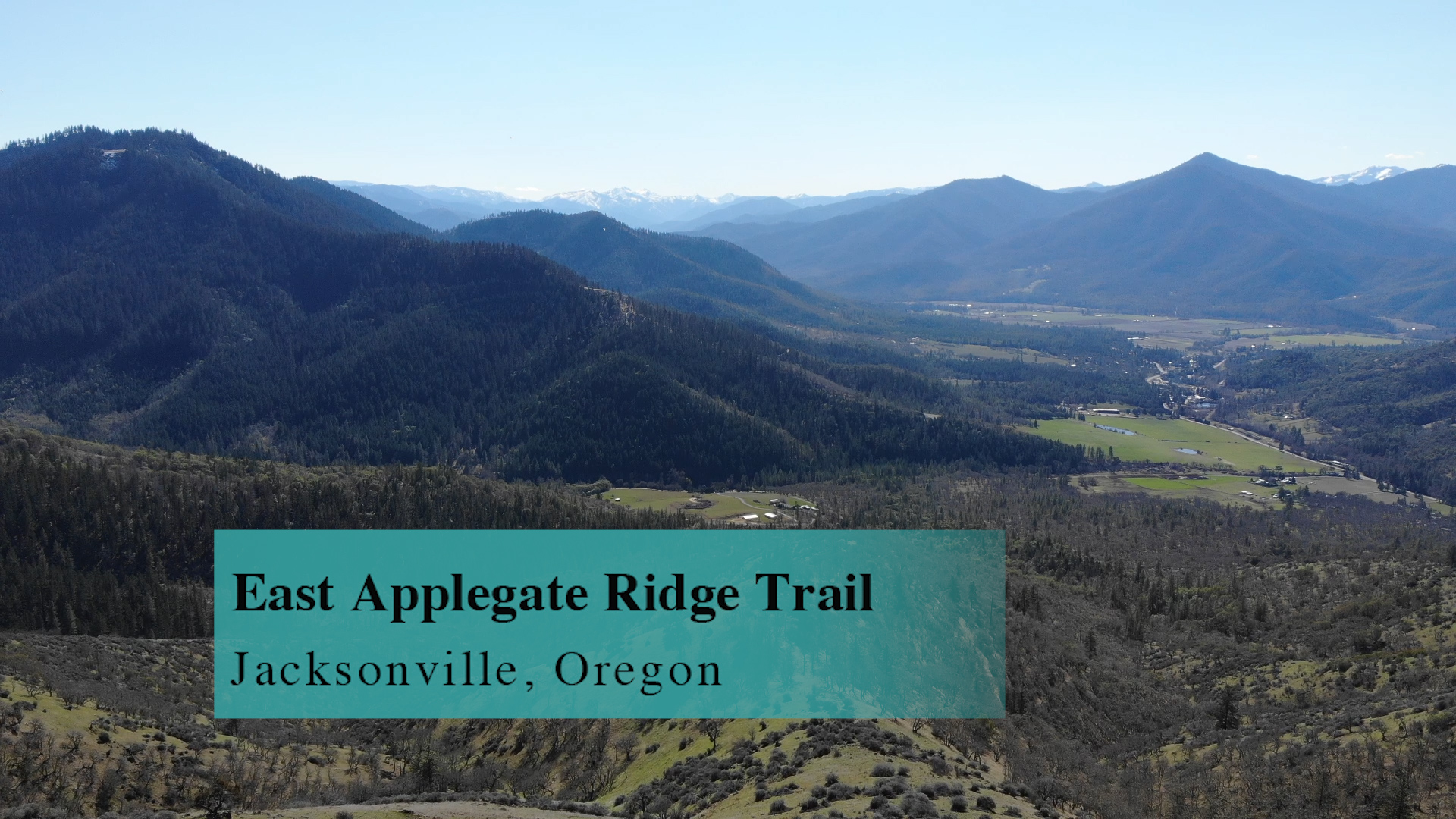
East Applegate Ridge Trail
Do the entire 10 mile out-and-back of the East Applegate Ridge Trail for the workout, or, a nice 5 mile version where you skip the hill section and just take in views and wildflowers.
Driving
– It is a 35 minute drive from Ashland Plaza. Head north out of town on Interstate 5 and take the Phoenix exit. Turn left and then right on Route 99 where you will soon take a left a the light onto South Stage Road. You are heading toward Jacksonville but when you dead end into Griffin Creek Road you will turn left. A mile later you will turn right onto West Griffin Creek road. No great signage there but the Farm Fresh stand on the left has been there for years so keep an eye out for that.
This road winds though the countryside for a while and dead ends into Sterling Creek Road. Turn left towards Buncom.
You have almost 3 miles on this and the East Applegate Ridge Trail sign is small, nailed to a tree, it’s a dirt road and easy to miss. Keep looking to your right. Do you see it?
This road is narrow but well maintained. There are some spots that look like trails but continue straight until you dead end into a large lot.
Parking
– This large, gravel lot is ready for the masses. 30 cars easily. But somedays, it’s just not enough.
The Adventure
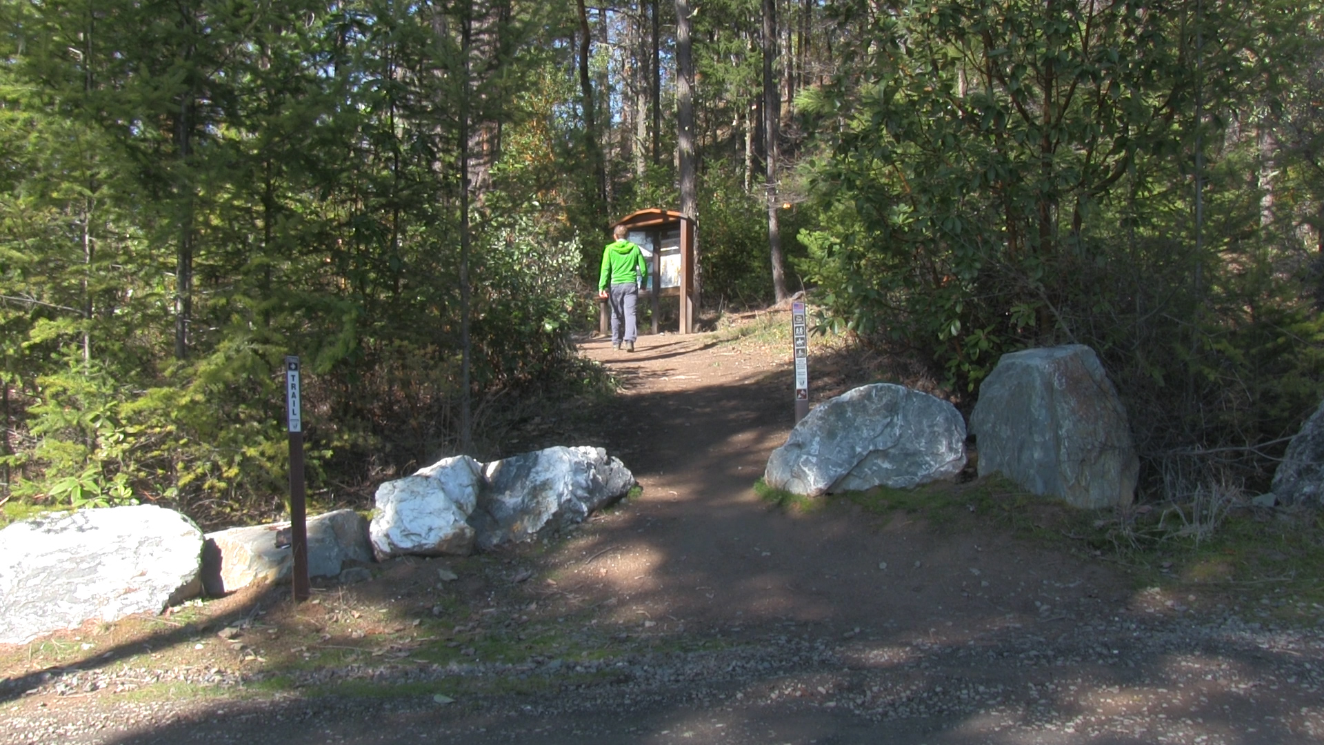
– There is a great information kiosk visible from the parking lot so that is always reassuring that you’re at the right place, right? But no restroom facilities or water so be prepared for that. And don’t think you’re the first person to have an emergency and need to quickly waddle off into the woods, if you know what I mean.
Also, sign the booklet at the beginning of the trail. Various groups use that data for good, not for evil.
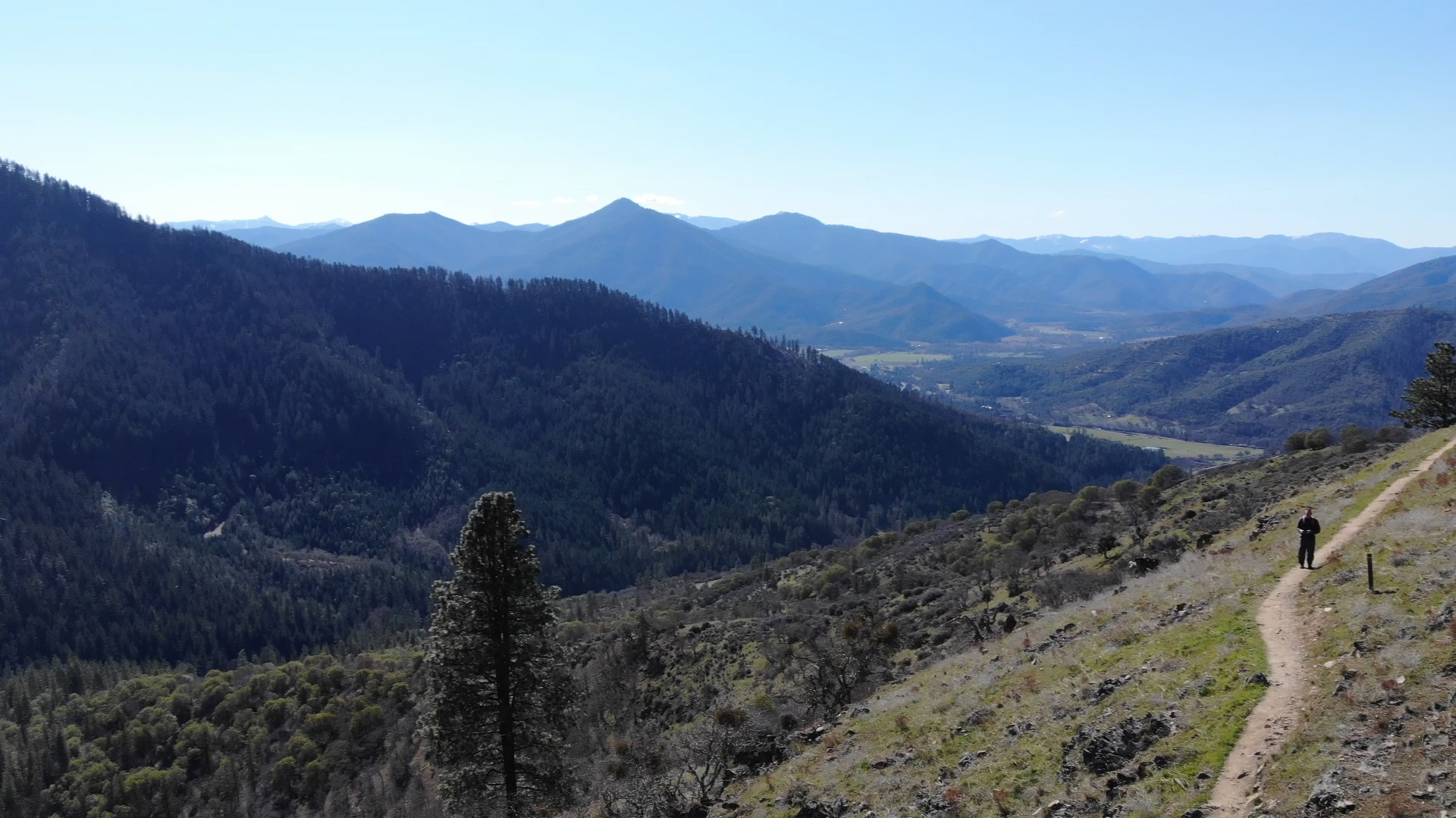
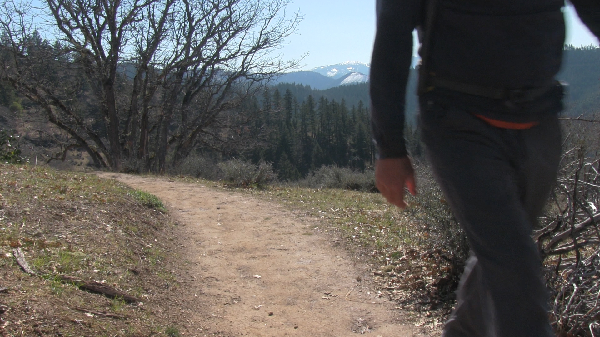
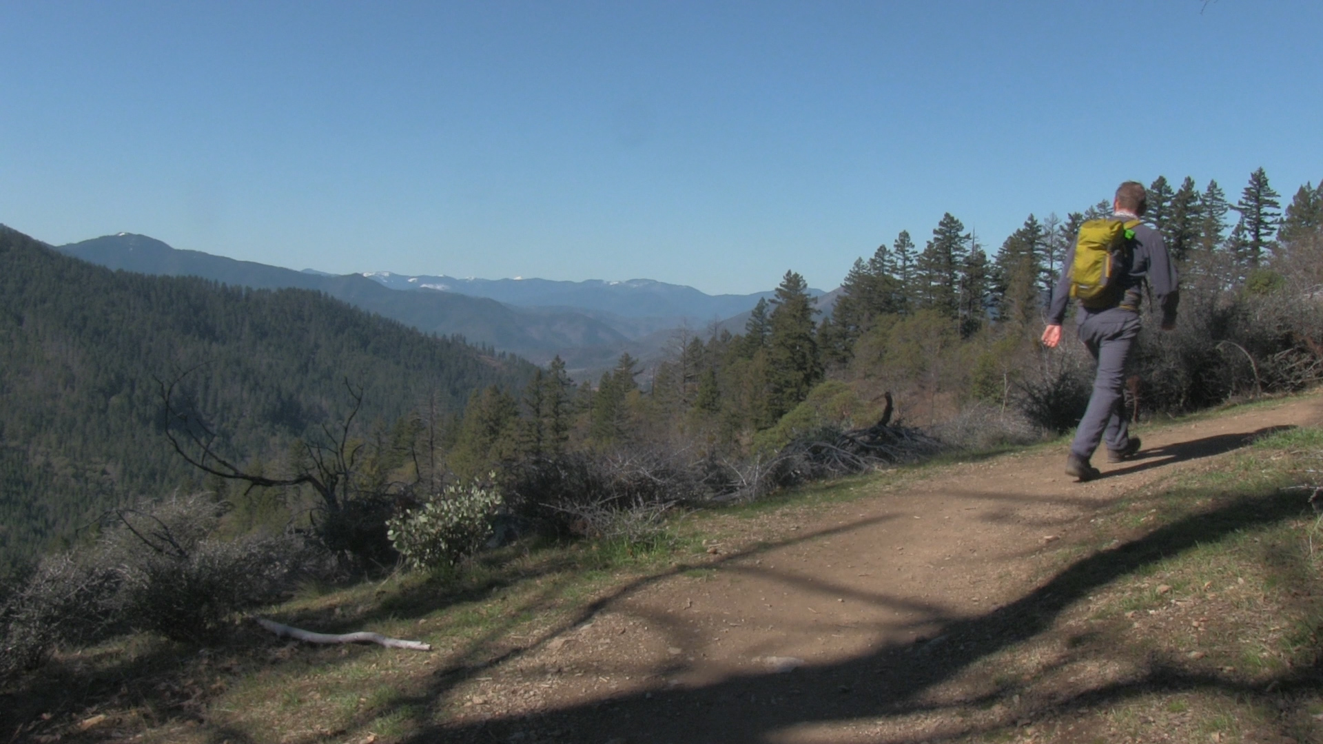
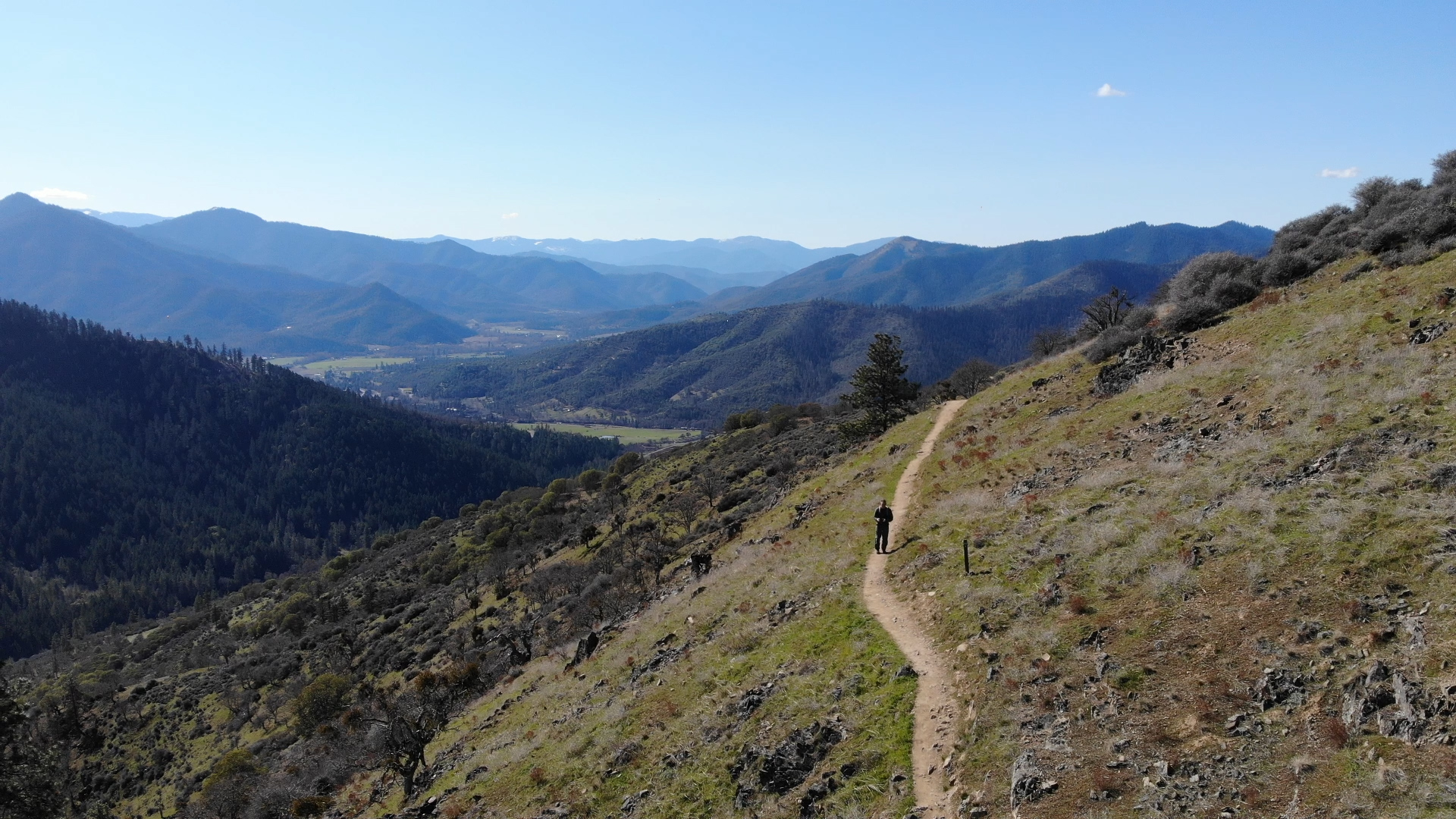
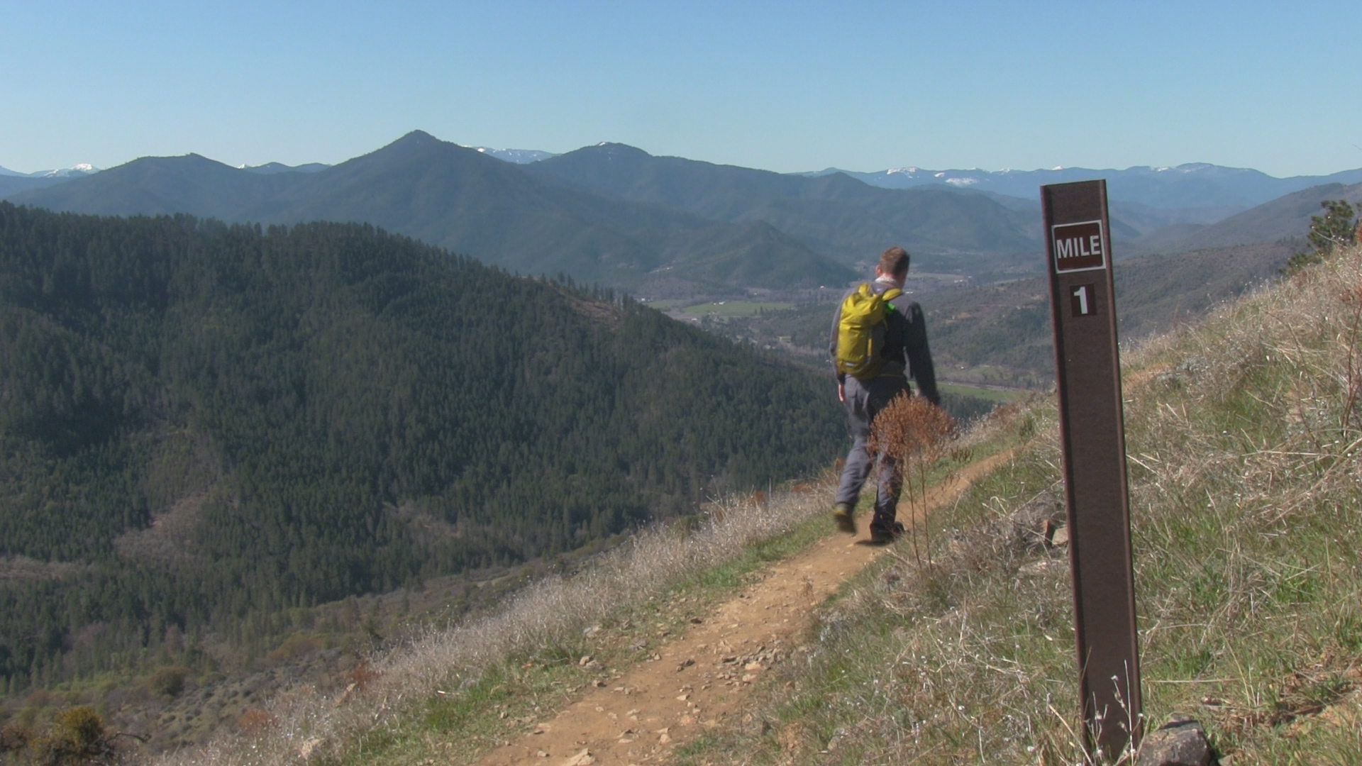
Now you stroll along a great single track with sweeping views of the Applegate Valley. 2 1/2 miles of mostly sunny, open, flat-ish trail. Are there wildflowers in the Spring? Are there wildflowers in the Spring? Well I don’t normally blather on about flowers so let me just say – Holy Aquilegia canadensis! There are!
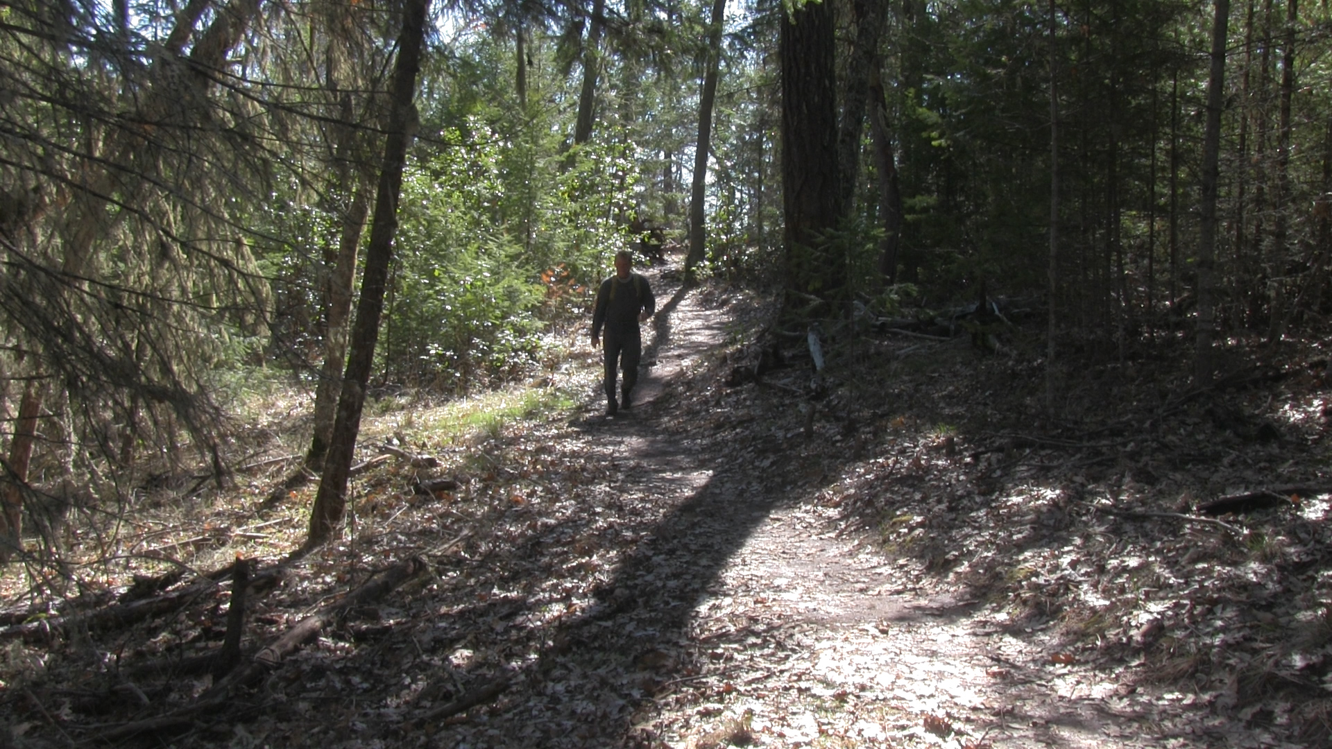
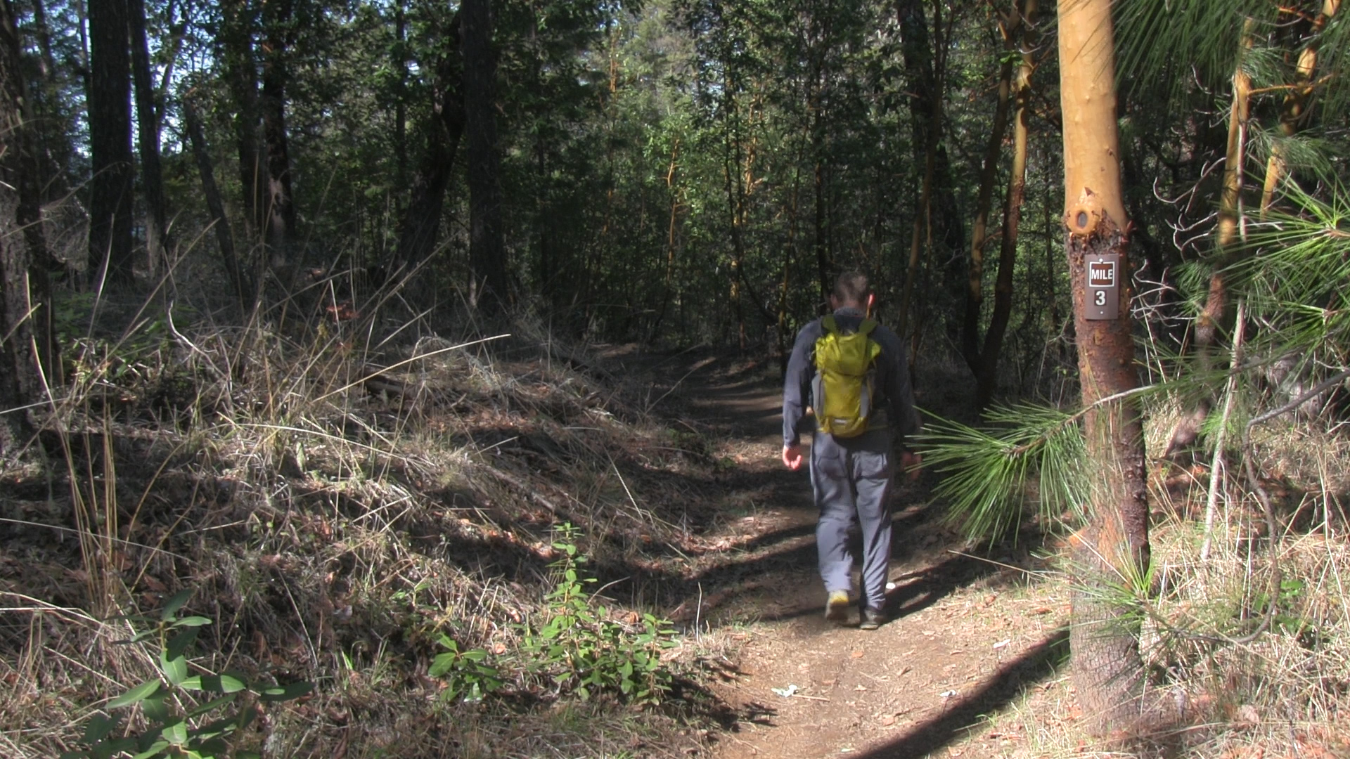
After all the open views the trail dips into the shaded Madrone and pine hillside. This downhill continues at a pretty comfortable slope until it reaches the parking lot off of Route 238 near Ruch and you have knocked off about 5 miles to here. Yes, you could have just parked here and it would have been less crowded but… turn around and hike uphill for 2 1/2 miles and that “comfortable slope” feels a lot more like work.
There is no shame in doing the two car shuttle where your buddy parks here and at the end you shuttle back to the other car. Suck it, uphill, amiright? And maybe just skip the second half altogether. You’re not lazy, you are an important person with responsibilities and appointments and stuff. Even if one of those appointments is with your couch for an afternoon nap.