
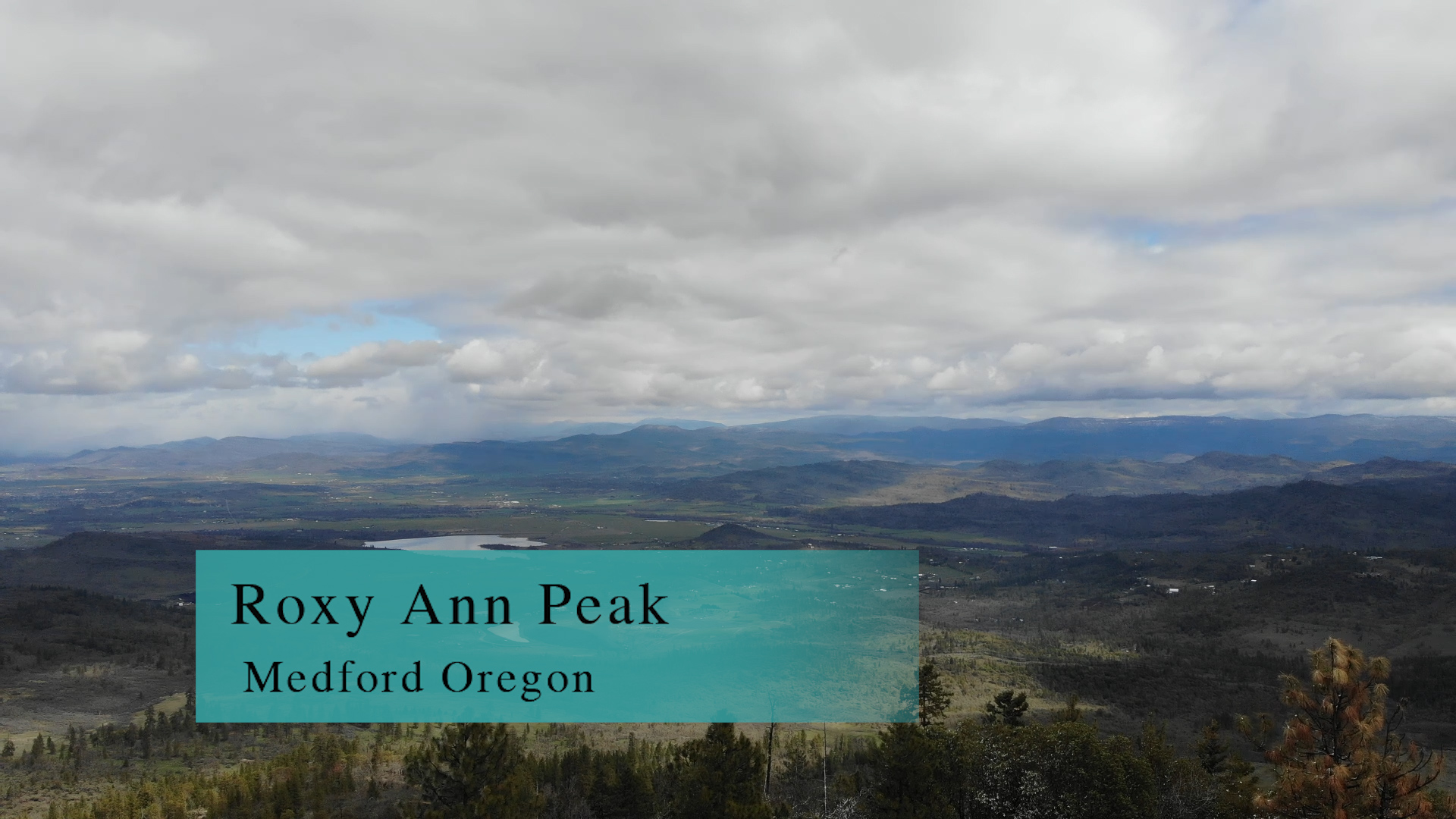
Roxy Ann Trail
Roxy Ann Trail in Prescott Park up to Roxy Ann Peak is 2-6 miles of busy trail. It’s busy, you can bike much of it, you can wear your fancy yoga pants, lots of picnic spots… it’s multi-use in the good, and the bad, sense.
Driving
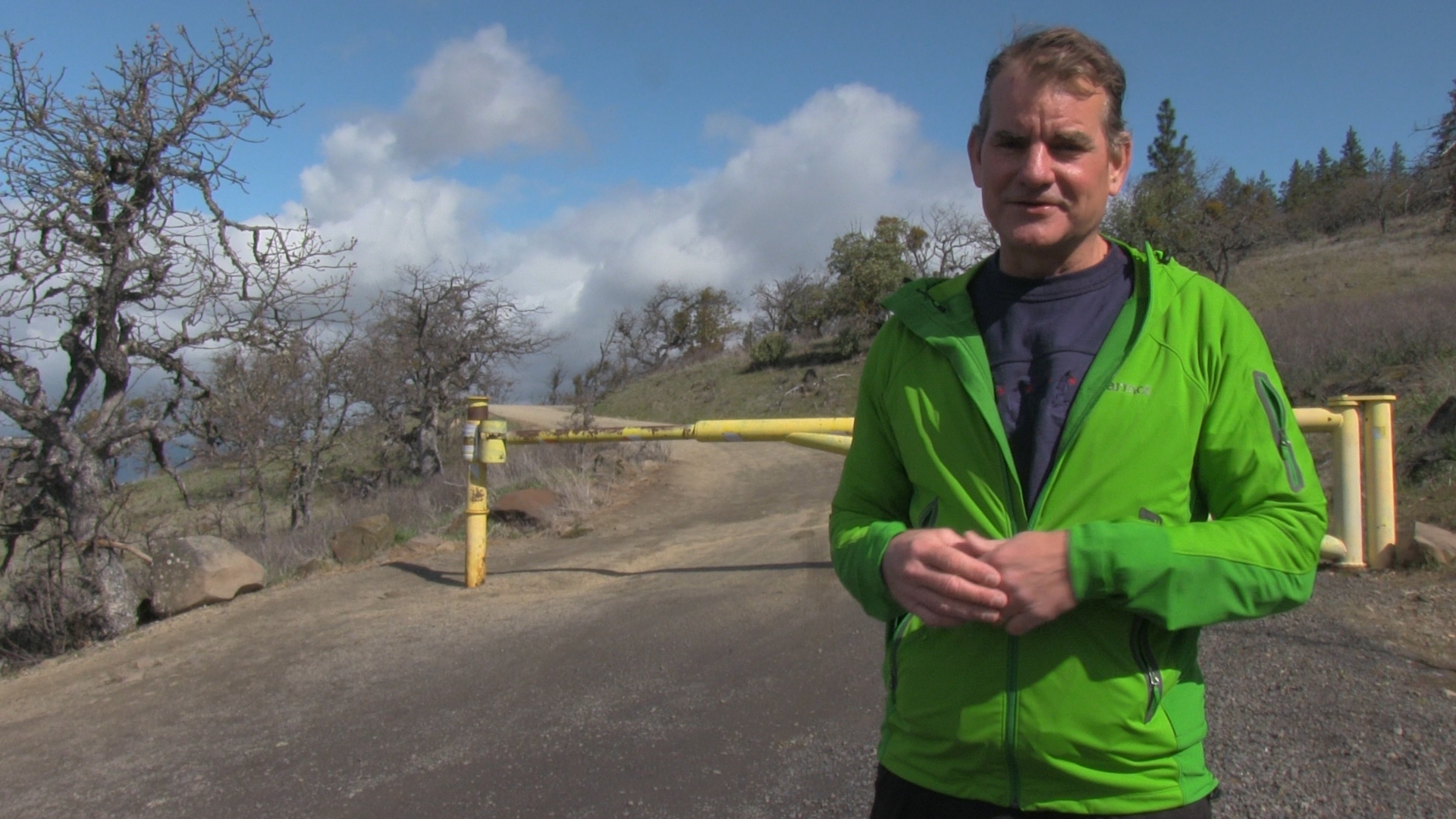
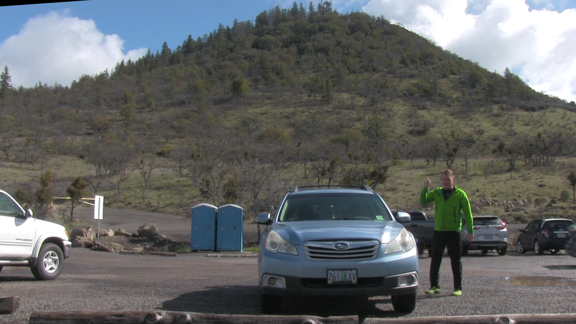
– Roxy Ann Trail is a 25 minute drive from Ashland Plaza. Get to Interstate 5 and head north towards Medford. Exit at Phoenix and kinda merge right on Phoenix Road. This “Double Diamond” interchange is a Dutch invention and my invention is the catchphrase, “Dumb as the Dutch.” Continue on Phoenix Road past the Home Depot and into the countryside and in a couple miles you will hit Cherry Lane where you will turn right. That becomes slightly rural again and curves to the left ending at Hillcrest Road where you’ll turn right. Quickly turn left on Roxy Ann Road where there will be some Prescott Park signage. The road becomes dirt, but well graded and maintained. At the second yellow pipe you’ll see lots of people parked. It’s an option, but continue for a mile and you can park next to the port-a-potties.
Parking
– You can pull over to the side of the road before the yellow pipe gate if you want to add some uphill workout miles to your hike. A mile further up is the main parking lot with room for dozens of cars and port-a-potties. Just back downhill there is a pull-out/ roundabout for another dozen cars as an option.
The Adventure
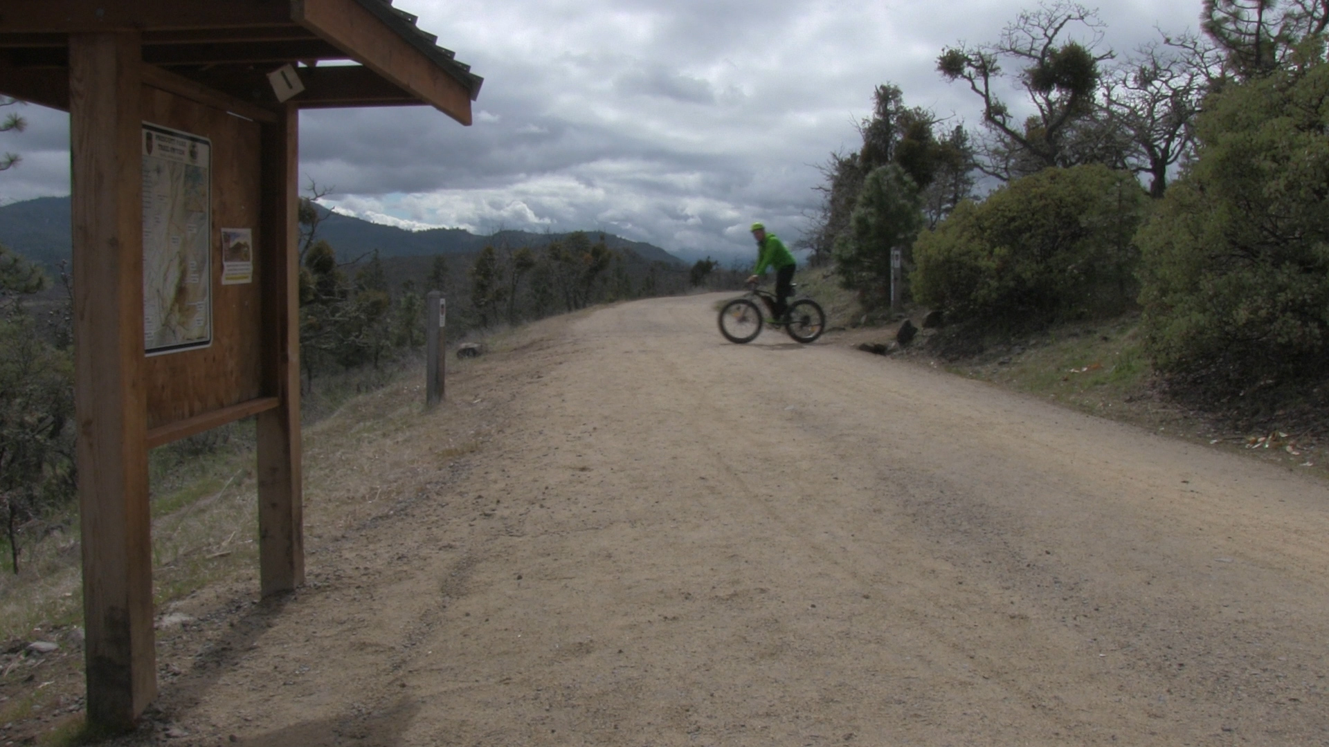
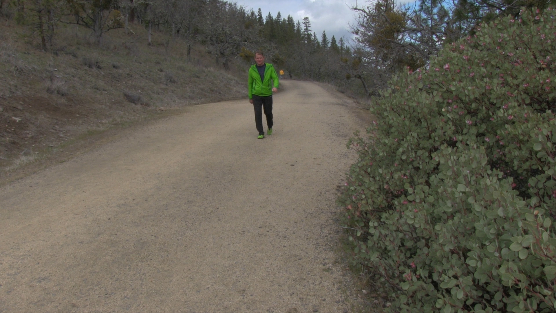
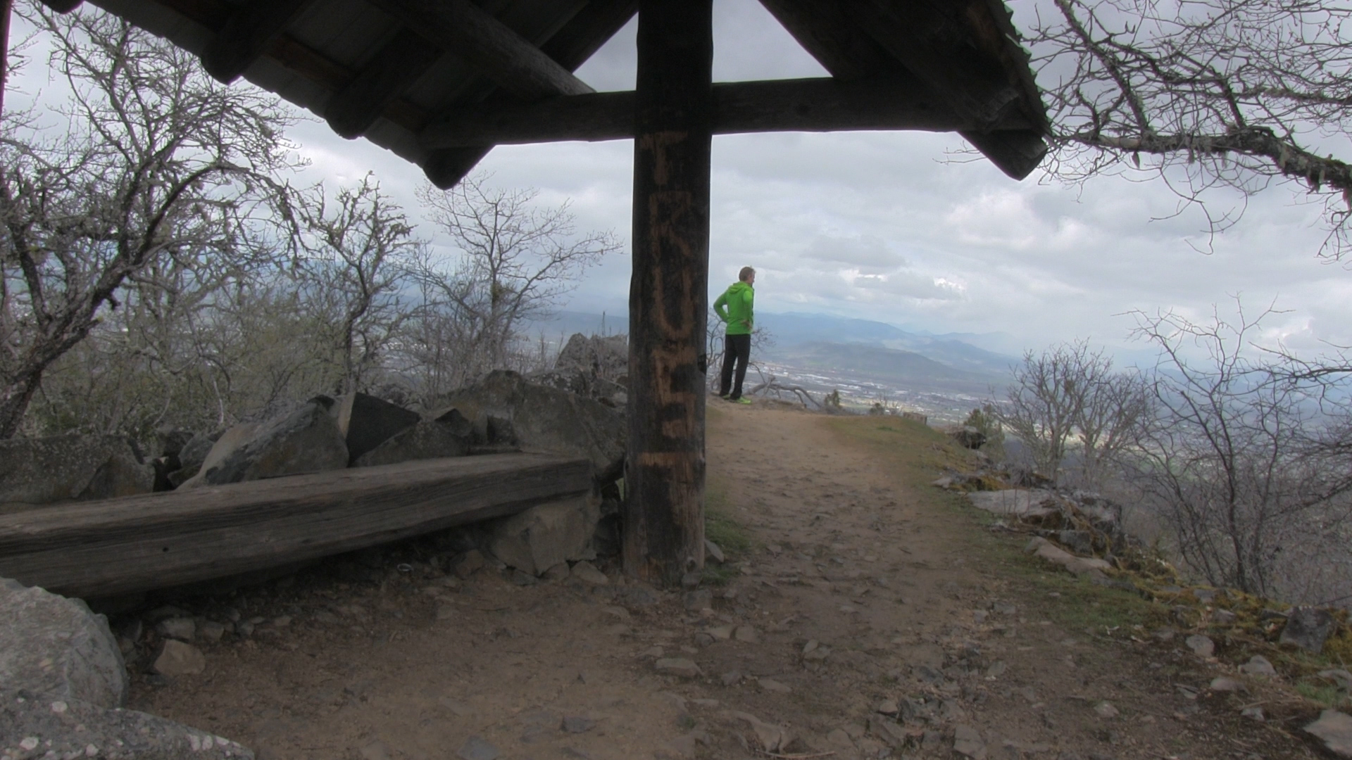
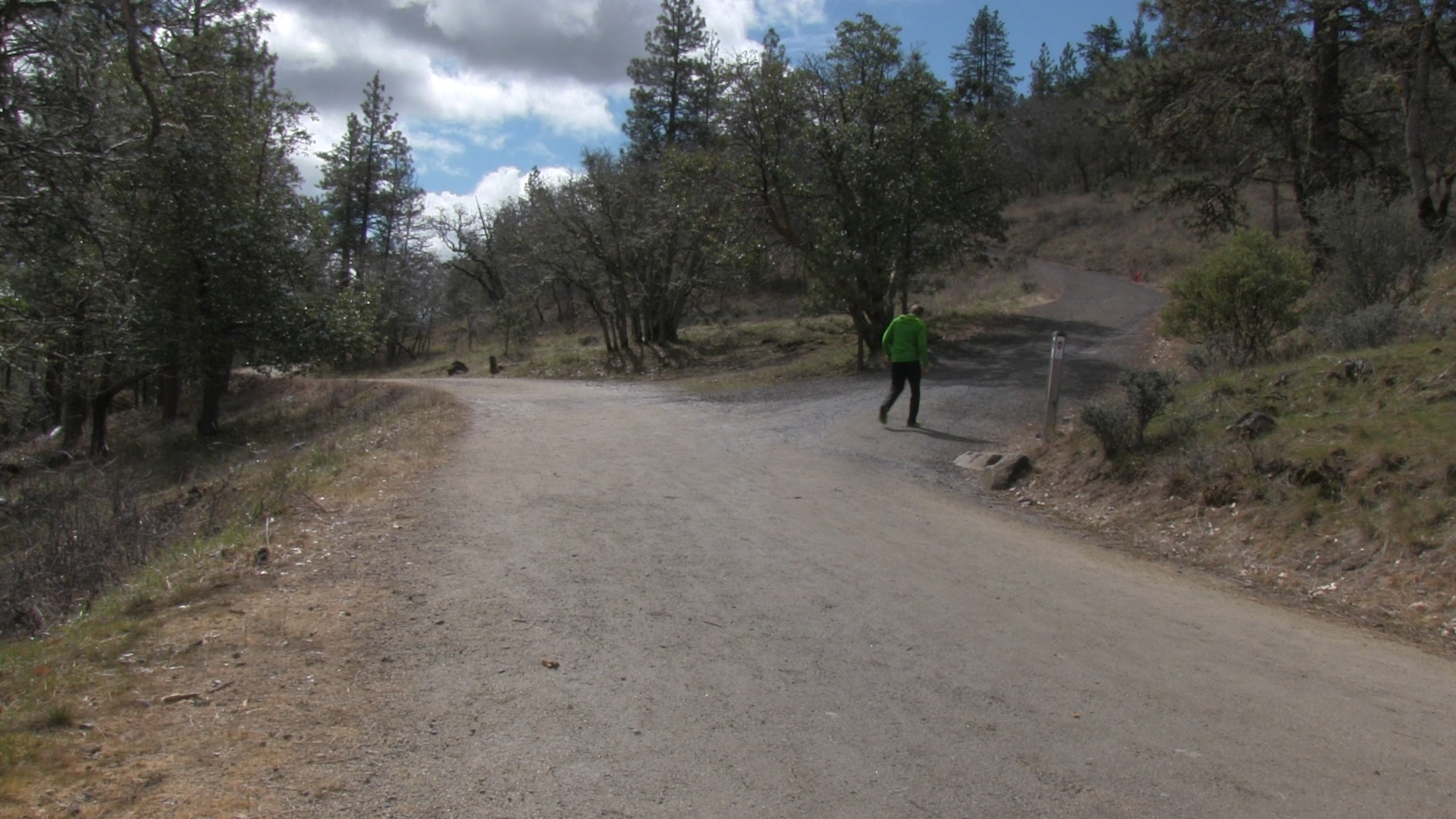
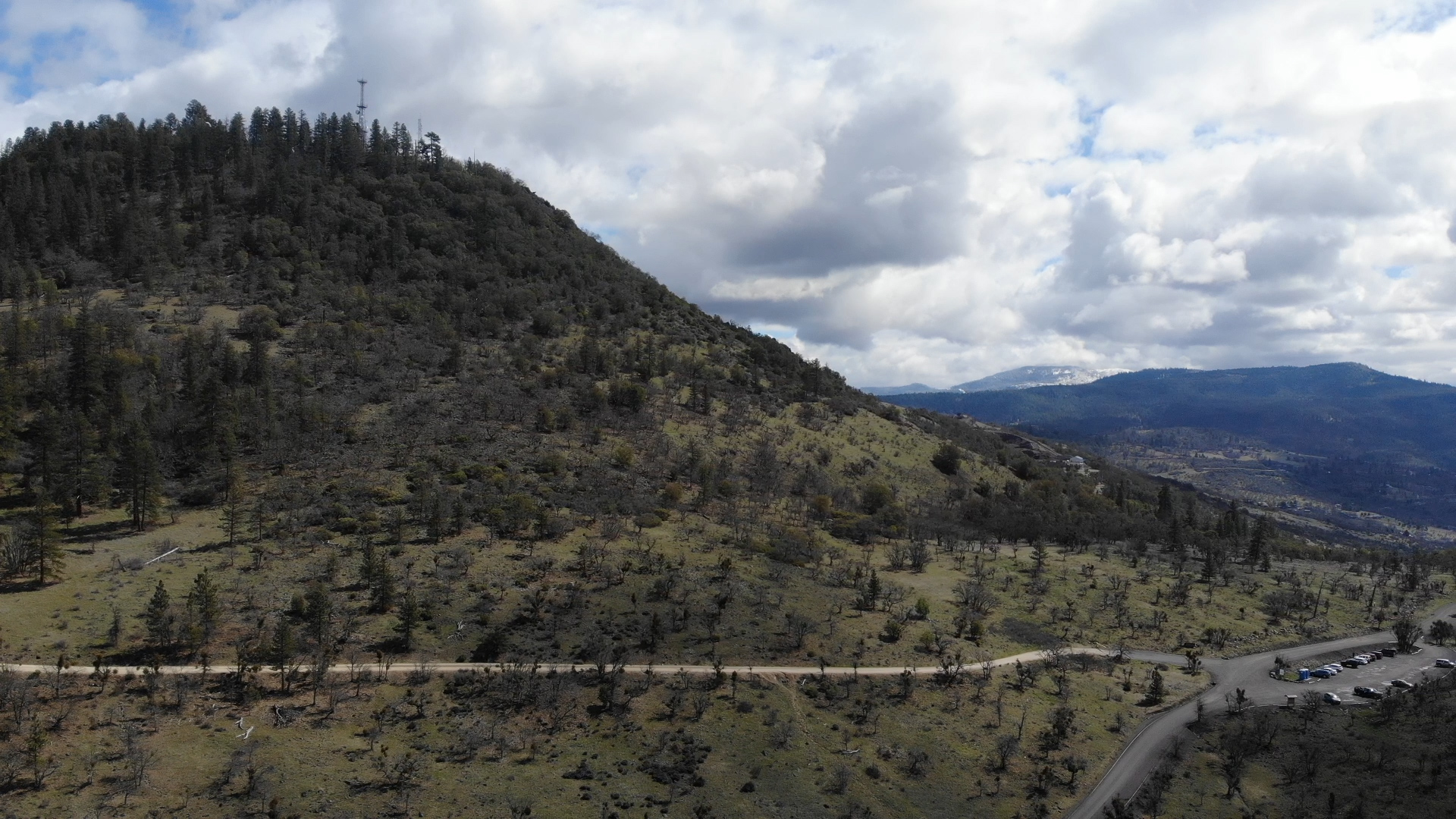
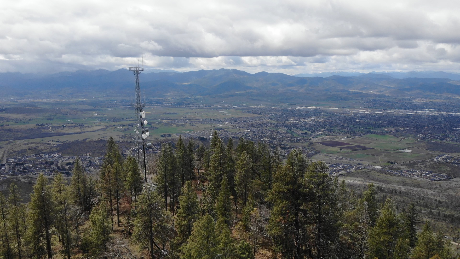
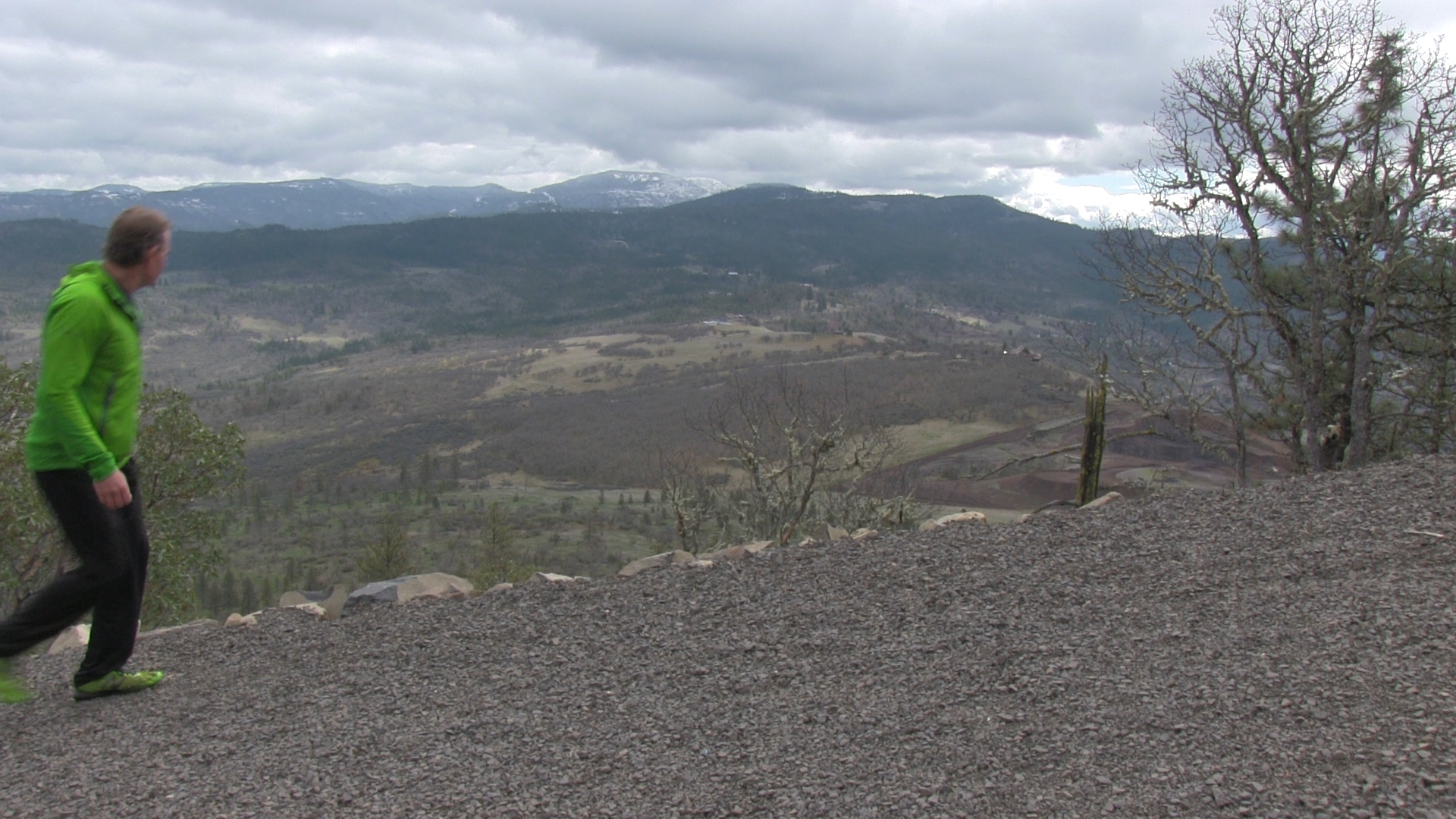
– This is the early days of the Corona virus. The most attractive part of this area is the 2 1/2 mile, “virus resistant” dirt road loop around the base of the peak. It’s a great “6-footer” where you can keep 6′ away from all the other weirdoes in town, even if they follow you up here. It also has a steep 1/2 mile workout hill to the top of the peak. A great, safe, outdoor exercise location.
It is also great for bikes. There are a number of trails around the base specifically for mountain bikes, and some great mountain bike, downhill only trails. A popular workout option is to start at Hillcrest Road and climb the entire hill on a road bike.
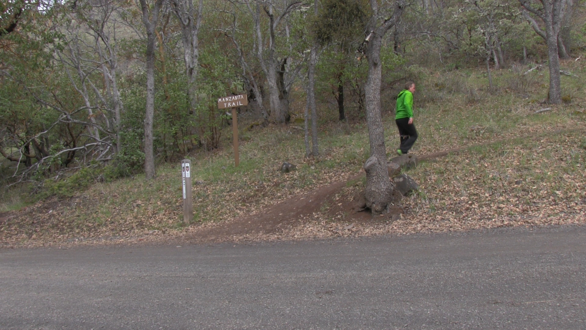
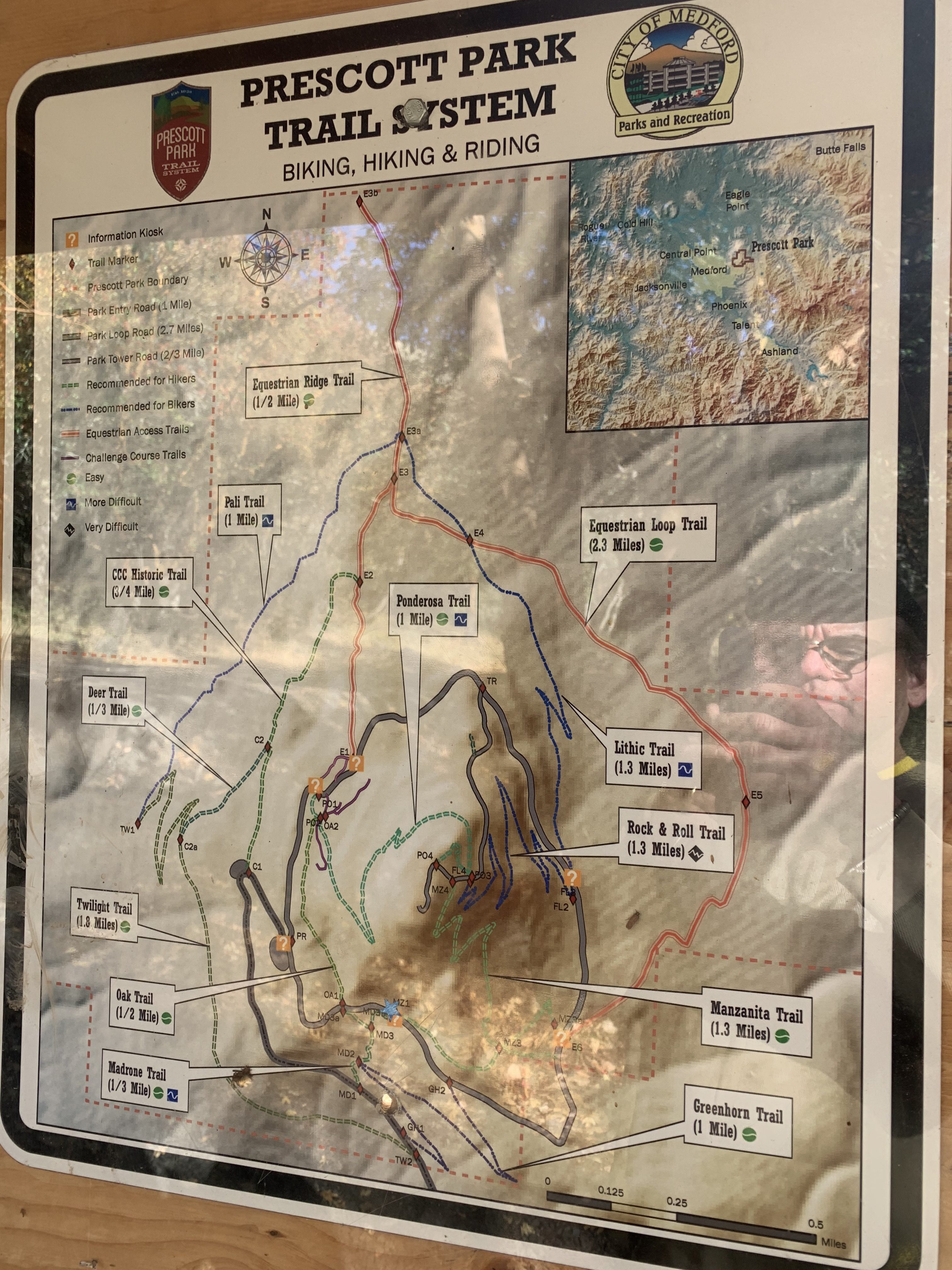
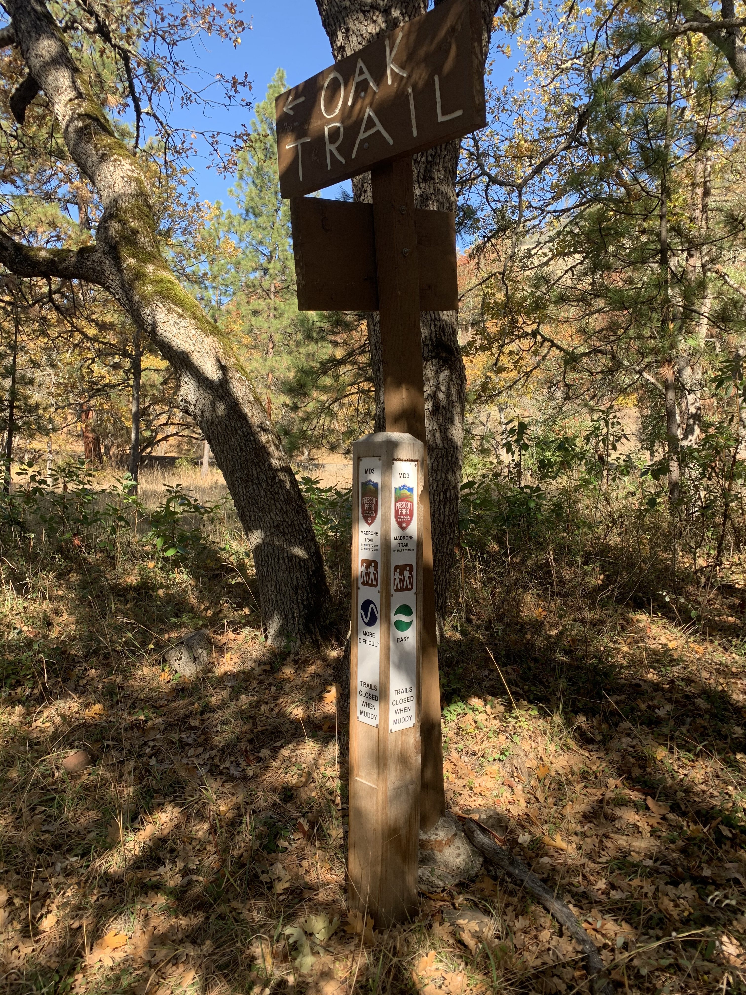
The traditional trails are also plentiful. Great views and easily 6 miles of trails to run or hike. Just pay attention and be ready to step off trails to maintain your 6 foot distancing. There a many maps posted on signboards around the park. Madrone, Manzanita, and Ponderosa are the main hiking trails, but keep an eye out for other smaller trails.
There are horse trails that connect up here but I’m not really plugged in to the equestrian community. There are also many picnic areas and viewpoint benches. It’s busy up here, but also plenty of nooks and crannies to hide yourselves in.