
PCT: Porcupine Gap
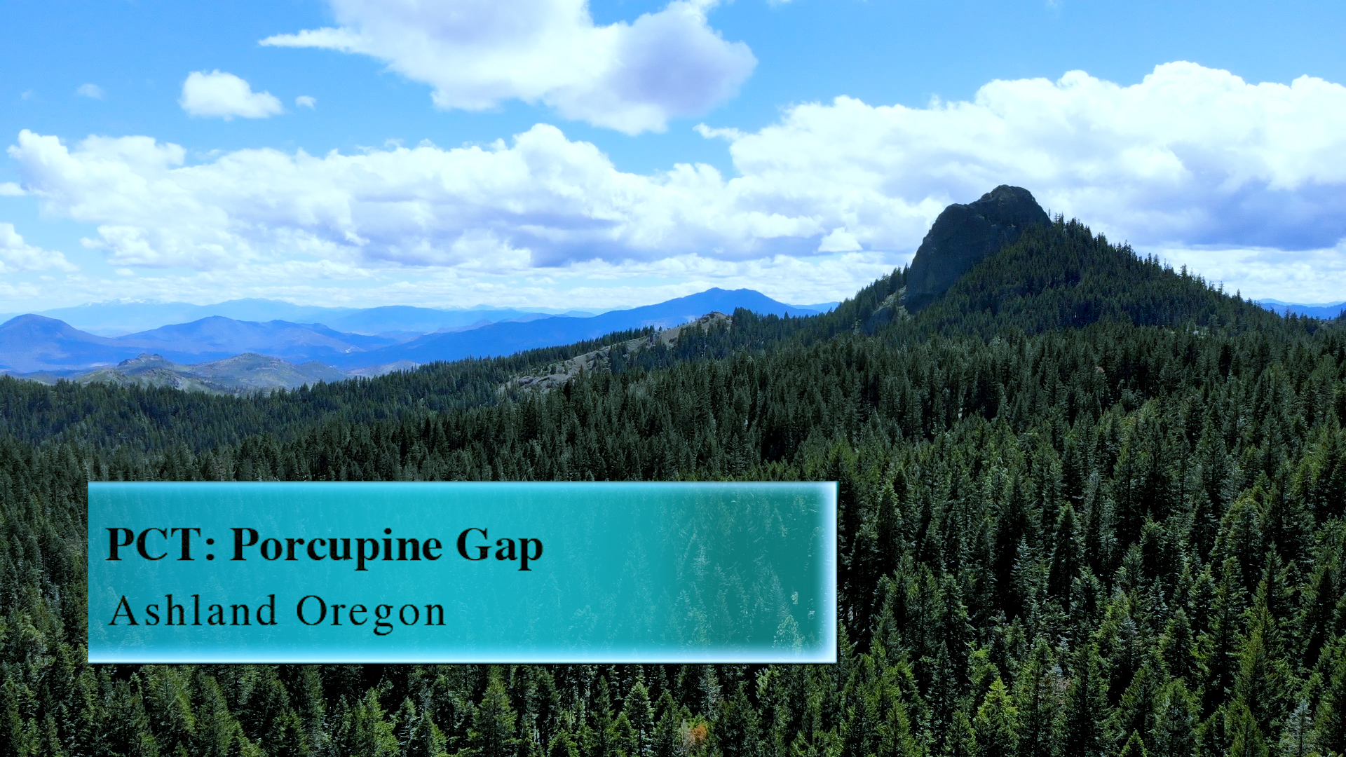
This PCT access point at Porcupine Gap can get to you Pilot Rock, or up to Porcupine Mountain, or both in under 8 miles.
Driving
–This 35 minute drive is similar to a Pilot Rock drive. Get on Interstate 5 by any means necessary and head south towards California. Take the Mount Ashland exit #7 and continue forward at the end of the offramp. Continue straight past Mount Ashland Ski Road and under Interstate 5. In a couple miles the Cascade-Siskiyou sneaks up on you to the left. It also has a smaller Pilot Rock sign below it. Take that dirt road to the left. There are a couple private driveways that split off but pay attention and you should be fine.
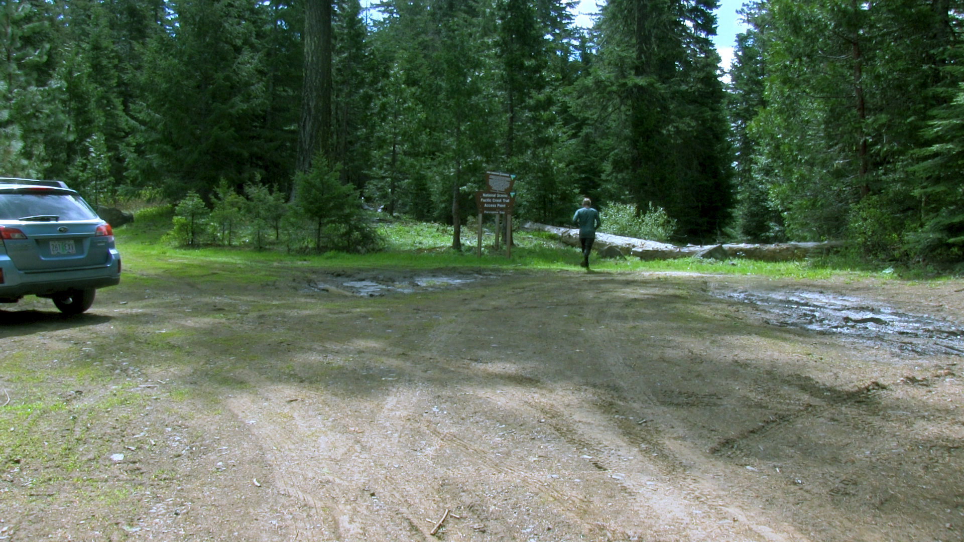
After 2 miles of bumpy dirt road the main Pilot Rock trailhead parking lot appears to the right with it’s fancy new pit toilet and everything. Skip that today and continue down hill to your left. The dirt road continues for almost another 2 miles where it dead ends in a large turn around.
Parking
– There is so much room but no real obvious parking system. It’s more mud than gravel so try and park wisely and politely.
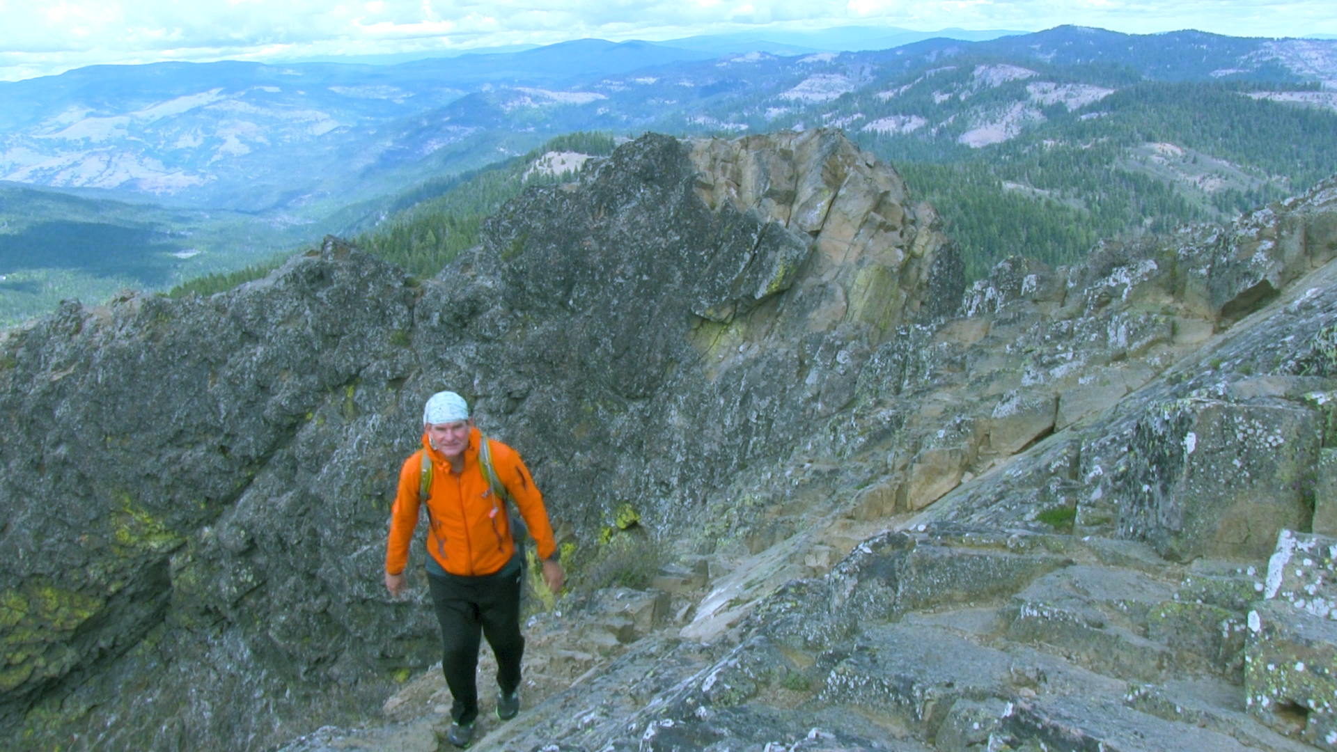
The Adventure
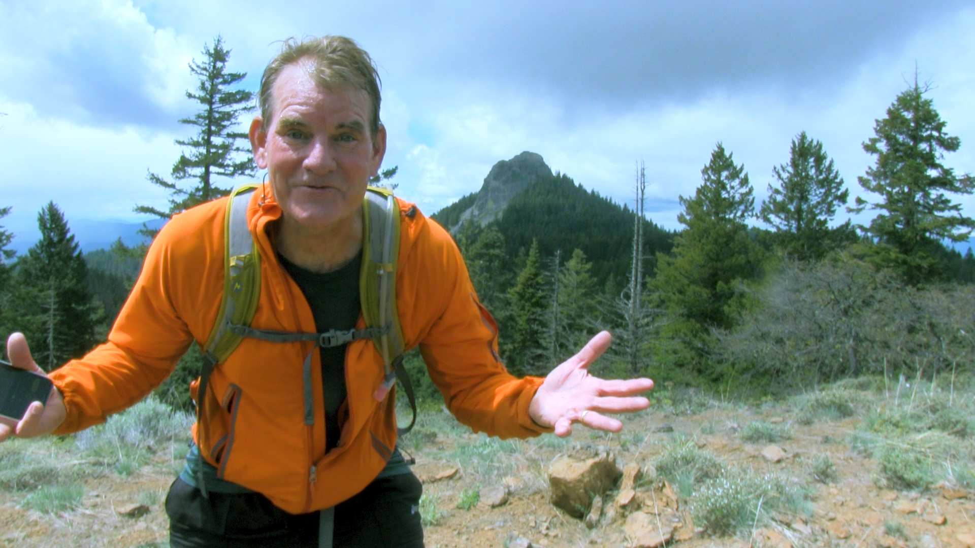
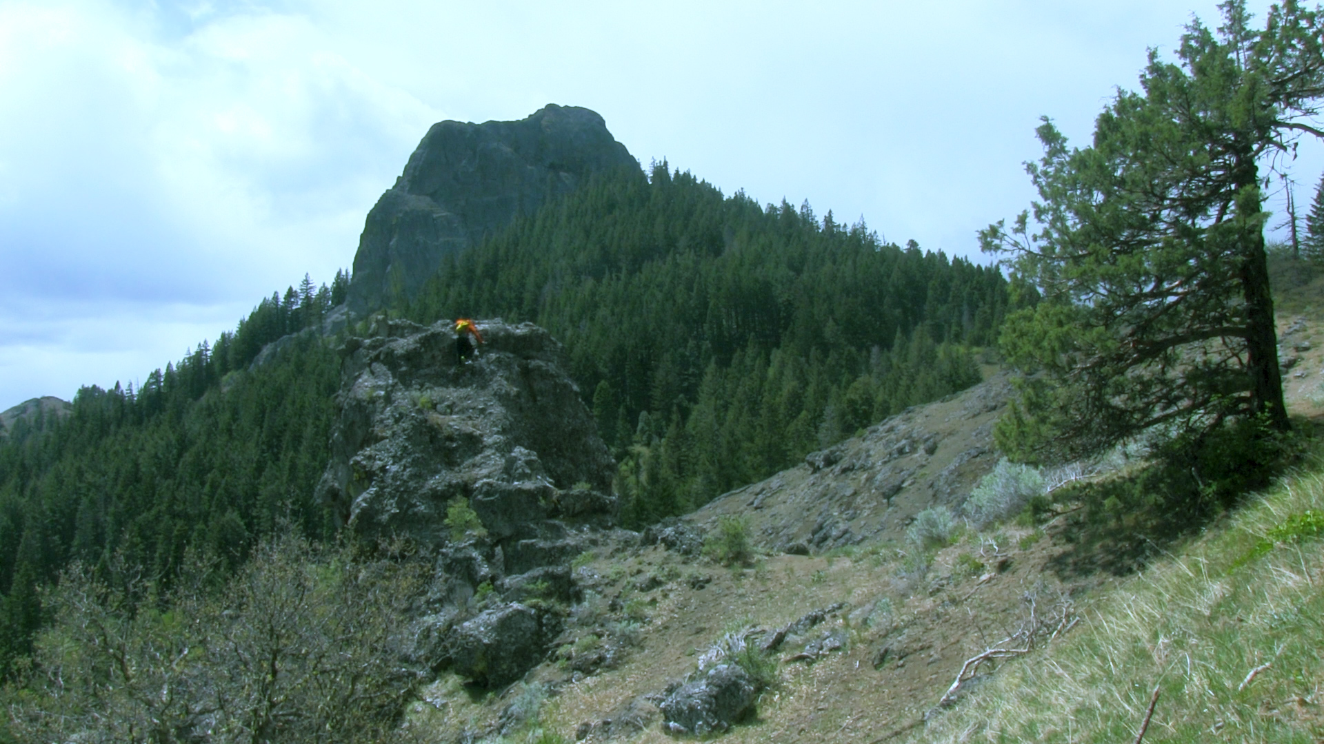
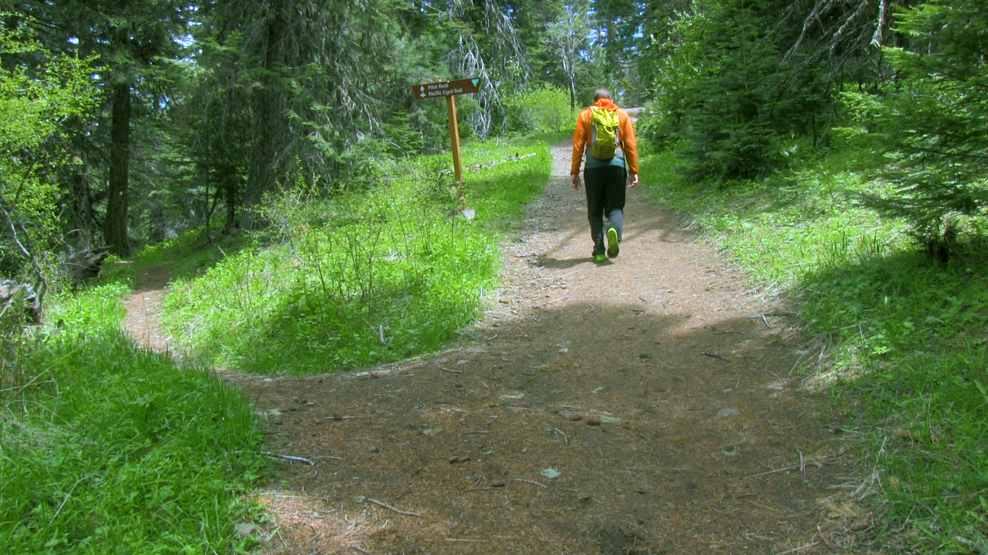
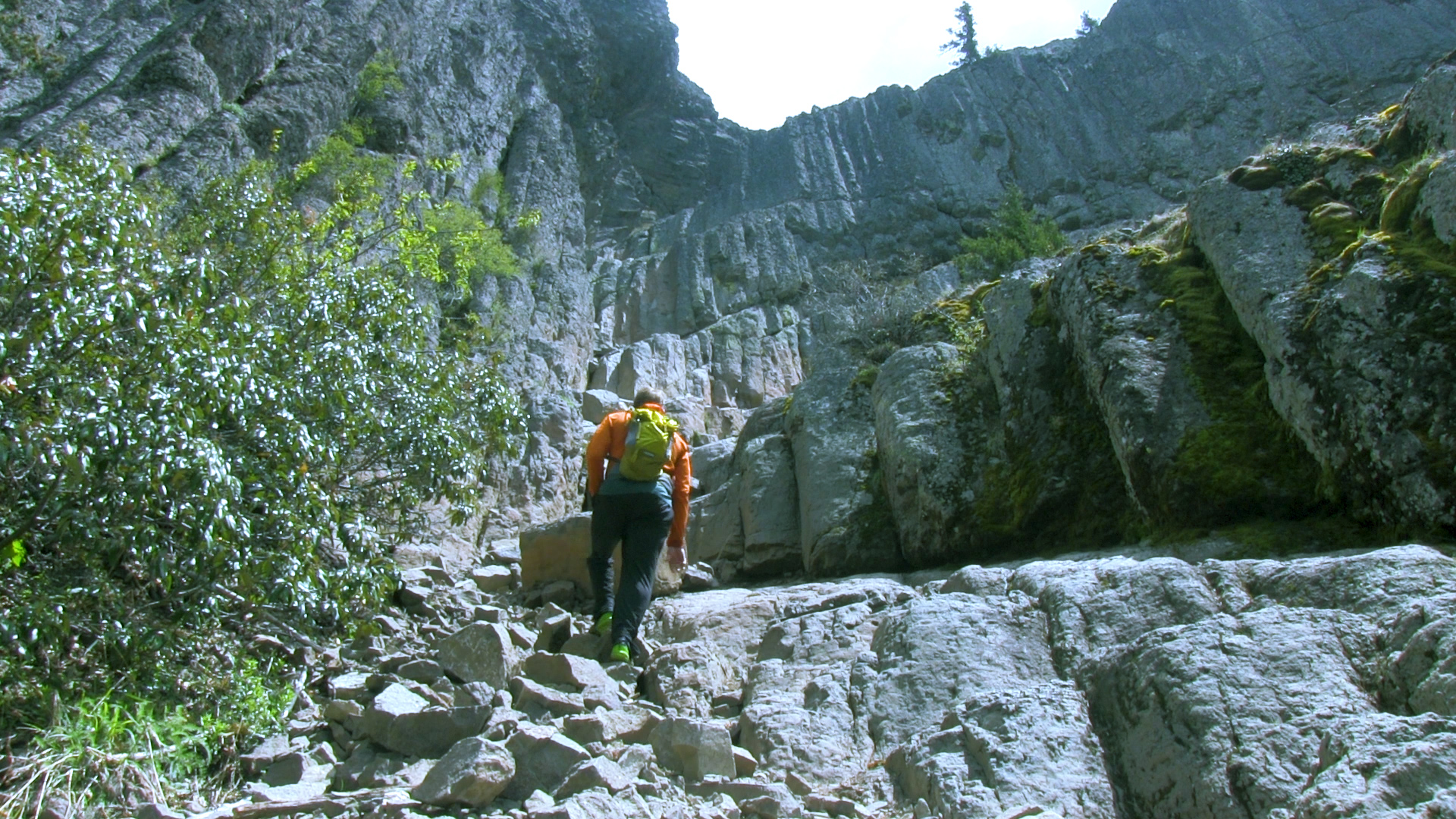
– The PCT passes by this area 20 yards past the end of the turn around. You can just jump on that heading to the right, and then in 2.5 miles you will arrive at the base of Pilot Rock just like the other trail. This 5 mile out-and-back route is twice as long as the traditional Pilot Rock hike and has a couple of amazing views of the rock from below. You can then scale Pilot Rock if you have the strength and skill to do that kind of thing.
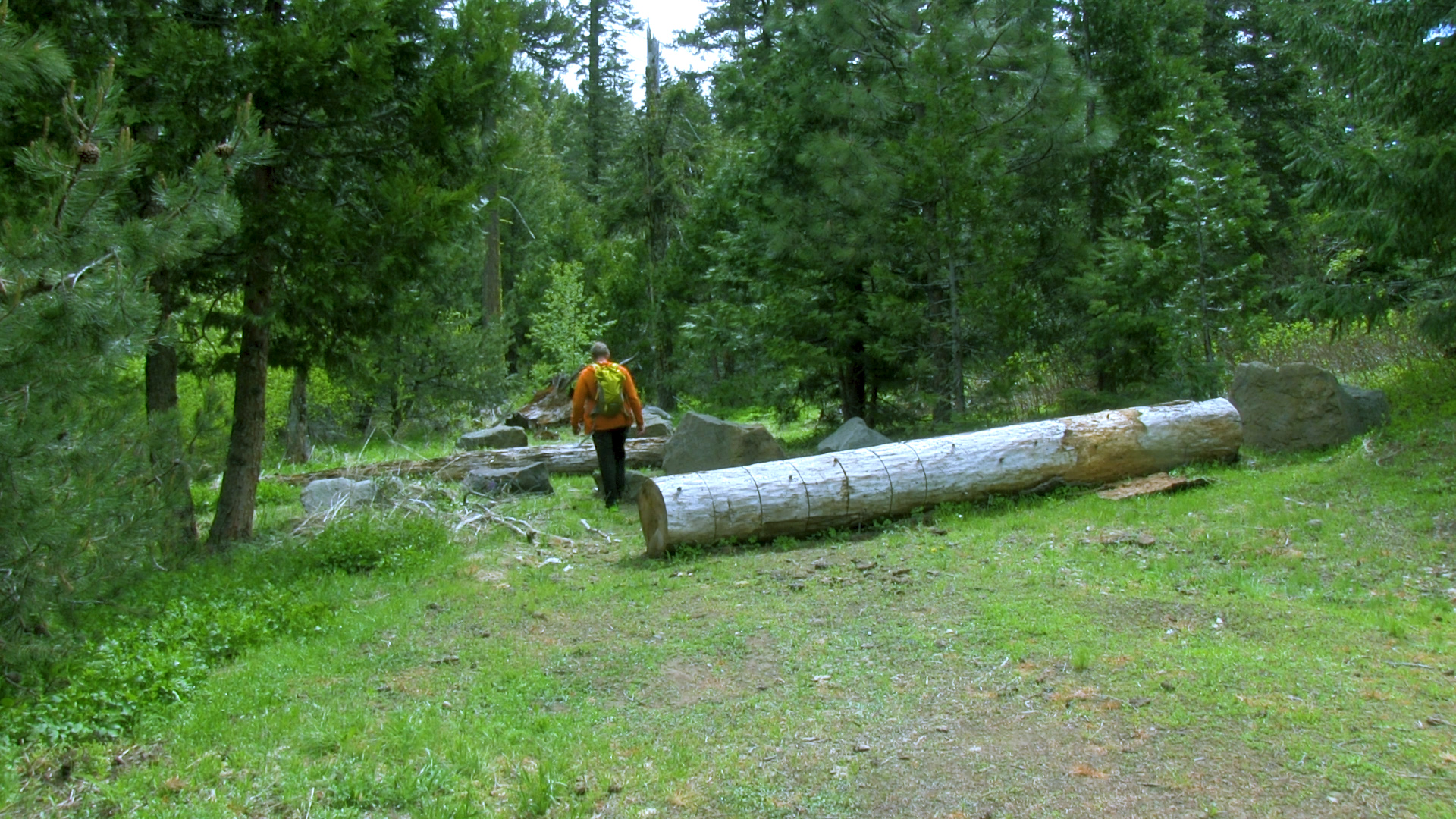
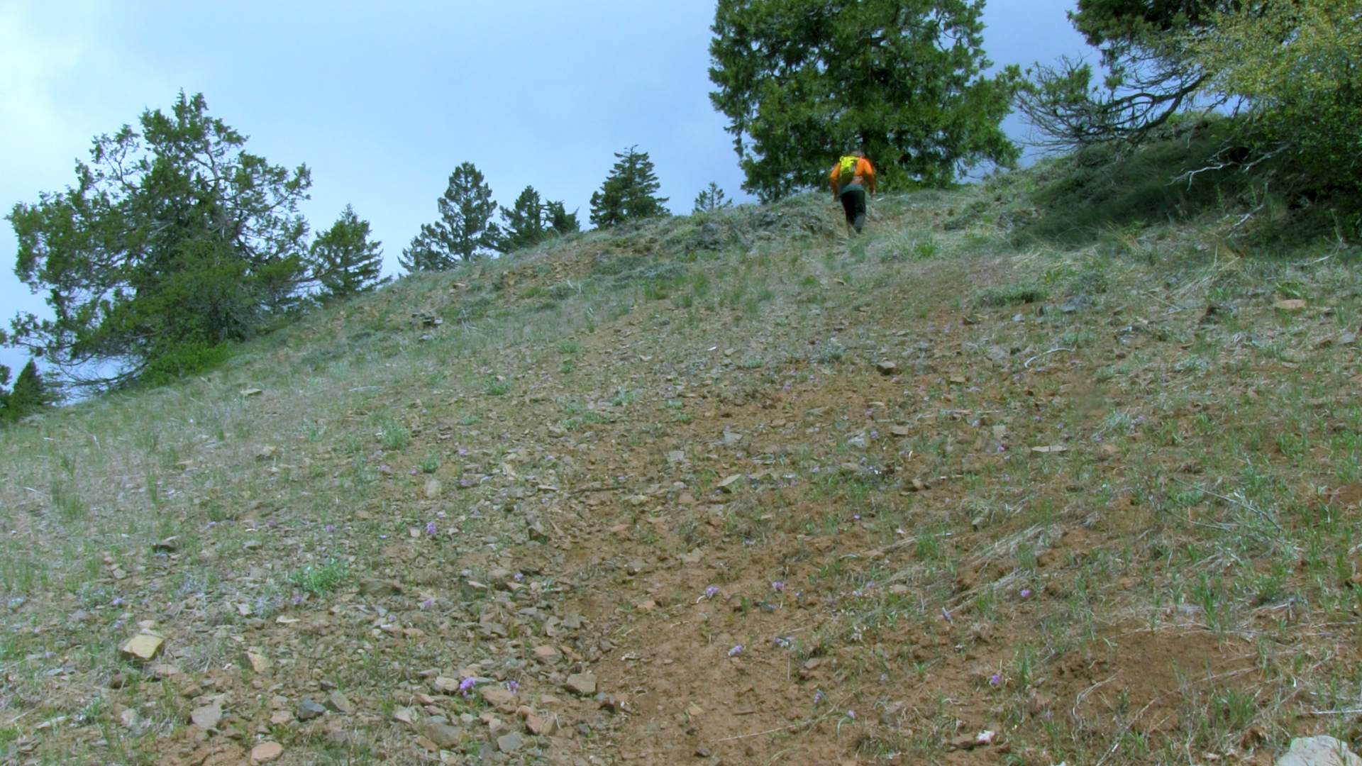
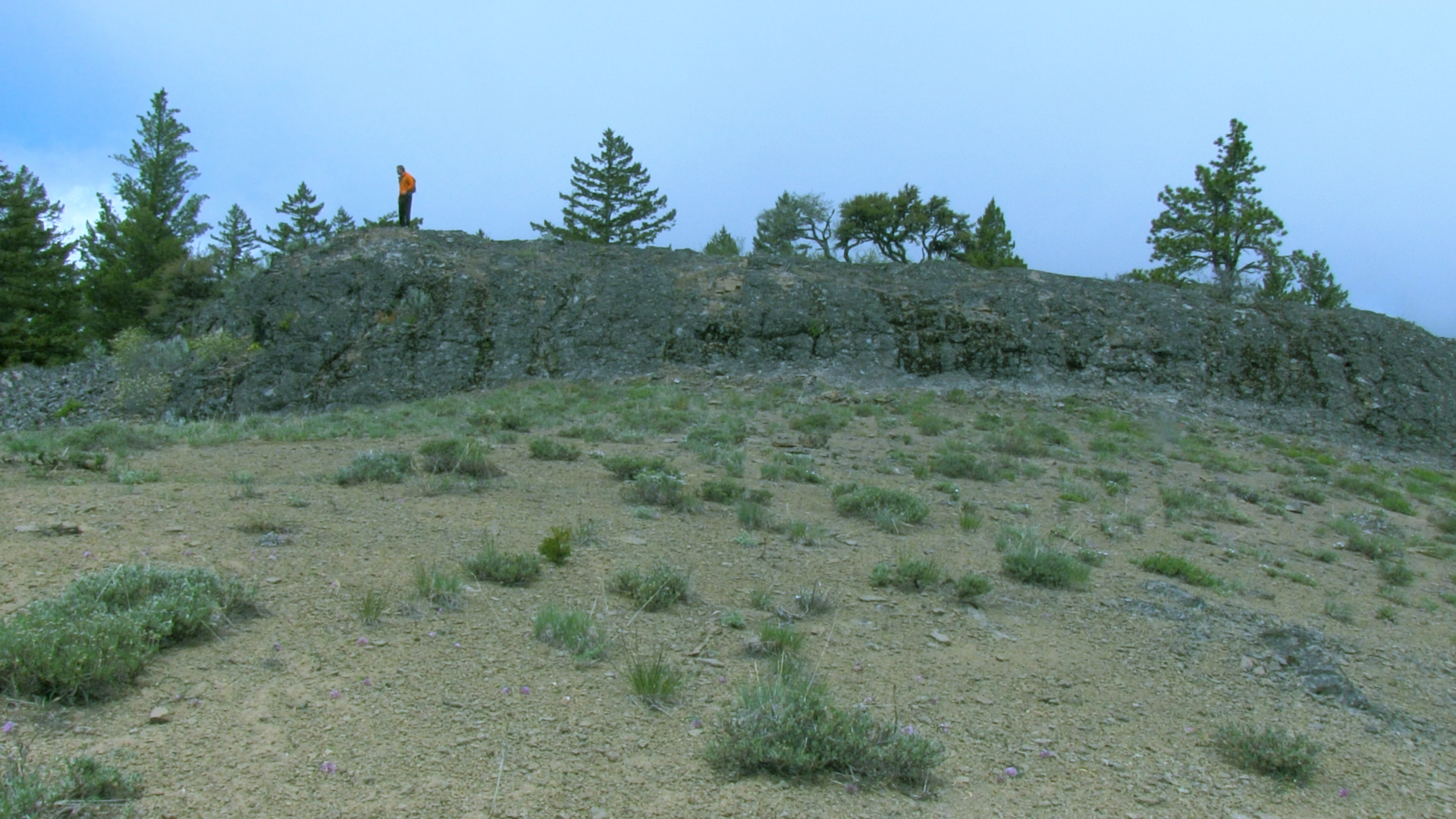
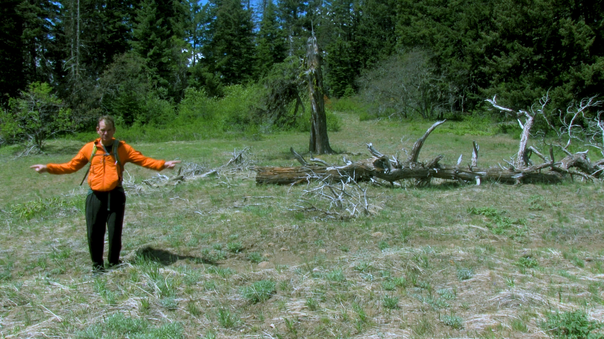
Back at the parking lot there is also an uncommon route to the top of Porcupine Mountain. This can be a simple out-and-back or a slightly trickier 2 1/2 mile loop as I’ll explain. To the left of the large Soda Mountain Wilderness – Porcupine gap sign there is a decommissioned jeep trail. Logs and trenches have been placed to make the road impassable to ATVs or ORVs or Motor-Trikes or whatever might want to drive up there. However, between the deer and the human, a small trail does head up this road and eventually meets up with a wide and flat ridge. This “trail” has been built mostly by the deer and with their lack of opposable thumbs, you’ll notice a significant lack of quality and consistency. Continue uphill to your left and the top of Porcupine Mountain is all yours.
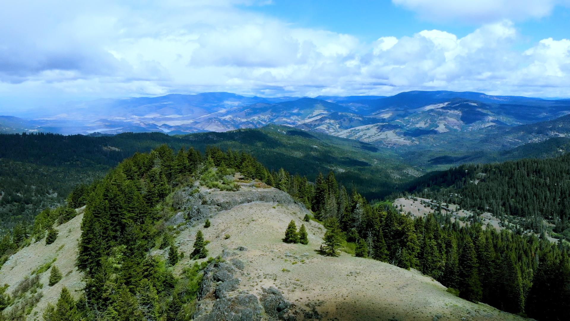
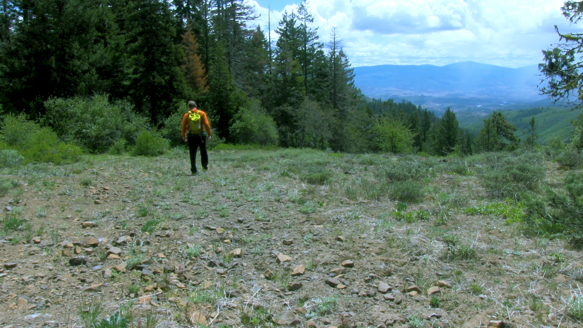
If you have any sense of direction, you can head downhill along the open ridge, past the jeep trail you came up, and after about 400 yards that open ridge will meet up with another decommissioned jeep trail to your left which will meet up with the PCT. This “trail” is equally “intermittent” so if you have any trouble with maps or directions, I’d recommend you skip this and just go down the way you came up. Otherwise, you’ve arrived at the PCT so take it to your right and in about 1 mile you will arrive back at the Porcupine Gap parking area.