
Emigrant Lake Loop Trail – Part 2
Emigrant Lake Loop – Part 2 is 6 miles of orienteering, bushwhacking, poison oak rubbing, and intermittent trail along the north shore of Emigrant Lake
Driving
Head south out of town on Siskiyou Blvd toward SOU. Turn left on Ashland Street toward Interstate 5 but, cross over the interstate and swoop to your right heading toward Emigrant Lake. Ashland Street has now turned into Green Springs Highway or the old Route 66.
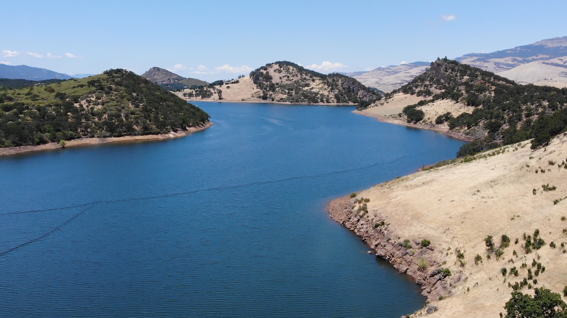
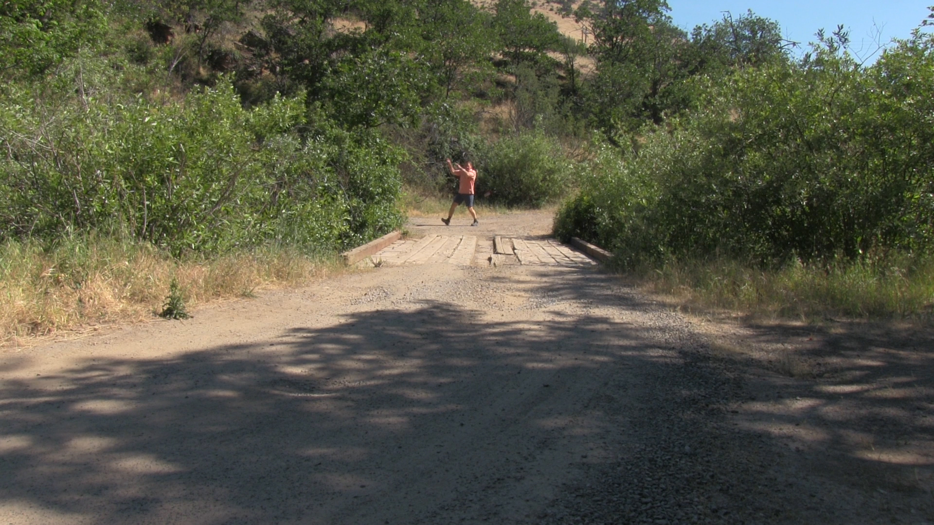
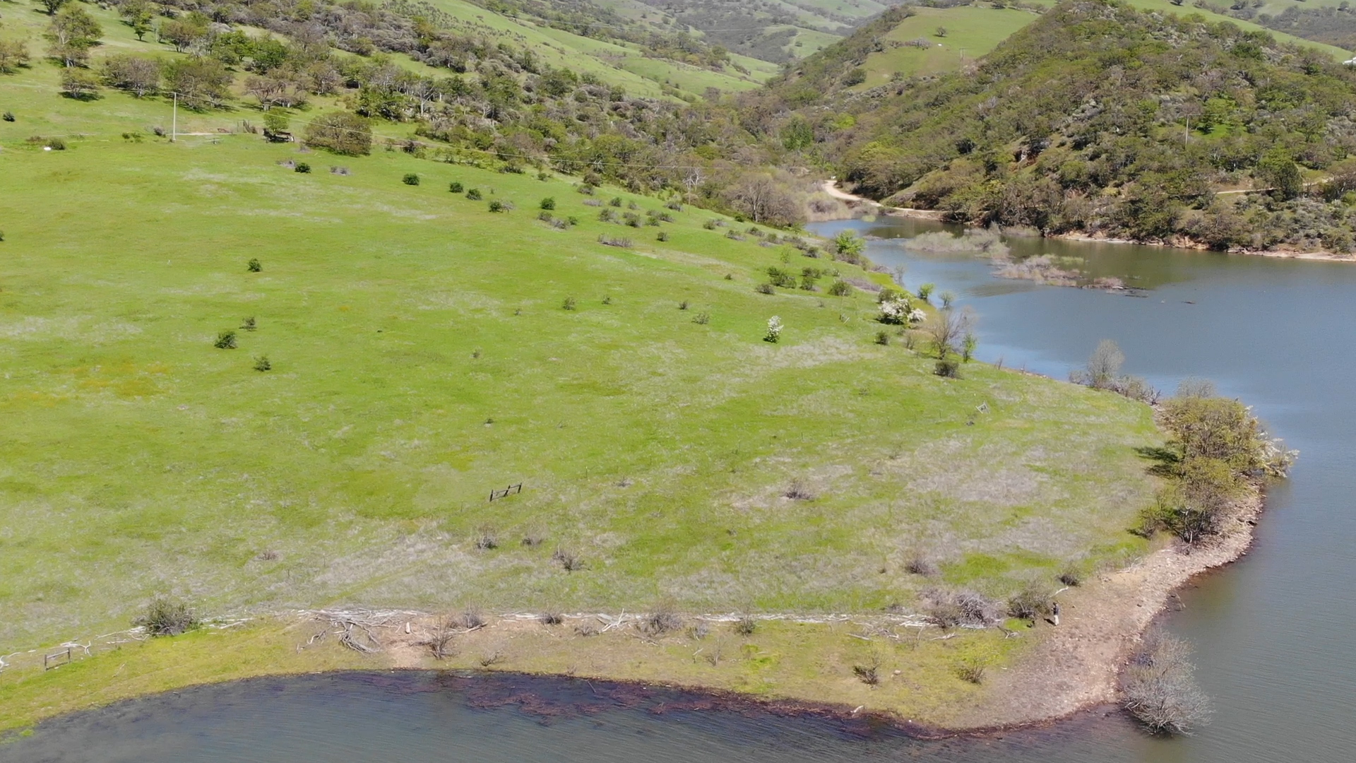
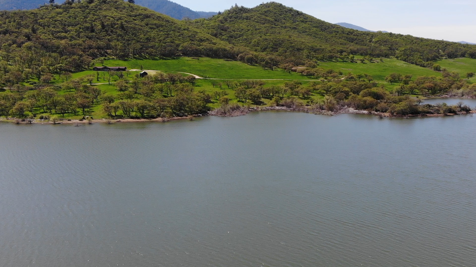
You will drive past Emigrant Lake on your left and, at about 10 miles from Ashland Plaza, you cross Emigrant Creek entering the reservoir and you’ll turn left onto a dirt road that follows the shoreline of the lake. Take that for a mile or so and avoid the occasional private driveway and you’ll stop before a tiny wooden bridge at Sampson Creek (there’s no way for you to know it’s Sampson Creek. No sign or anything. But if you see a creek, with a little bridge over it… stop before that).
Parking
Park to the left in the rutted pull out. Plenty of room for 2 and a half cars.
The Adventure
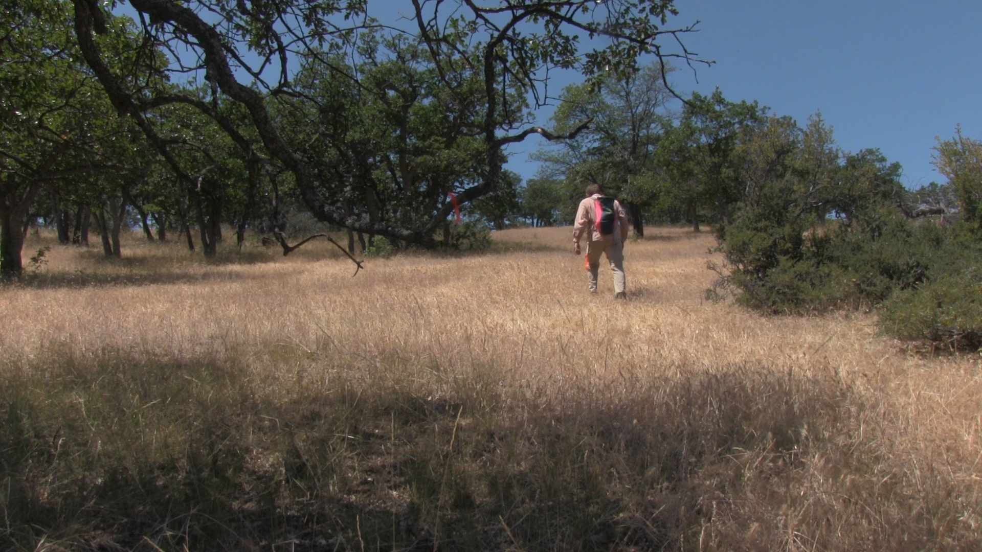
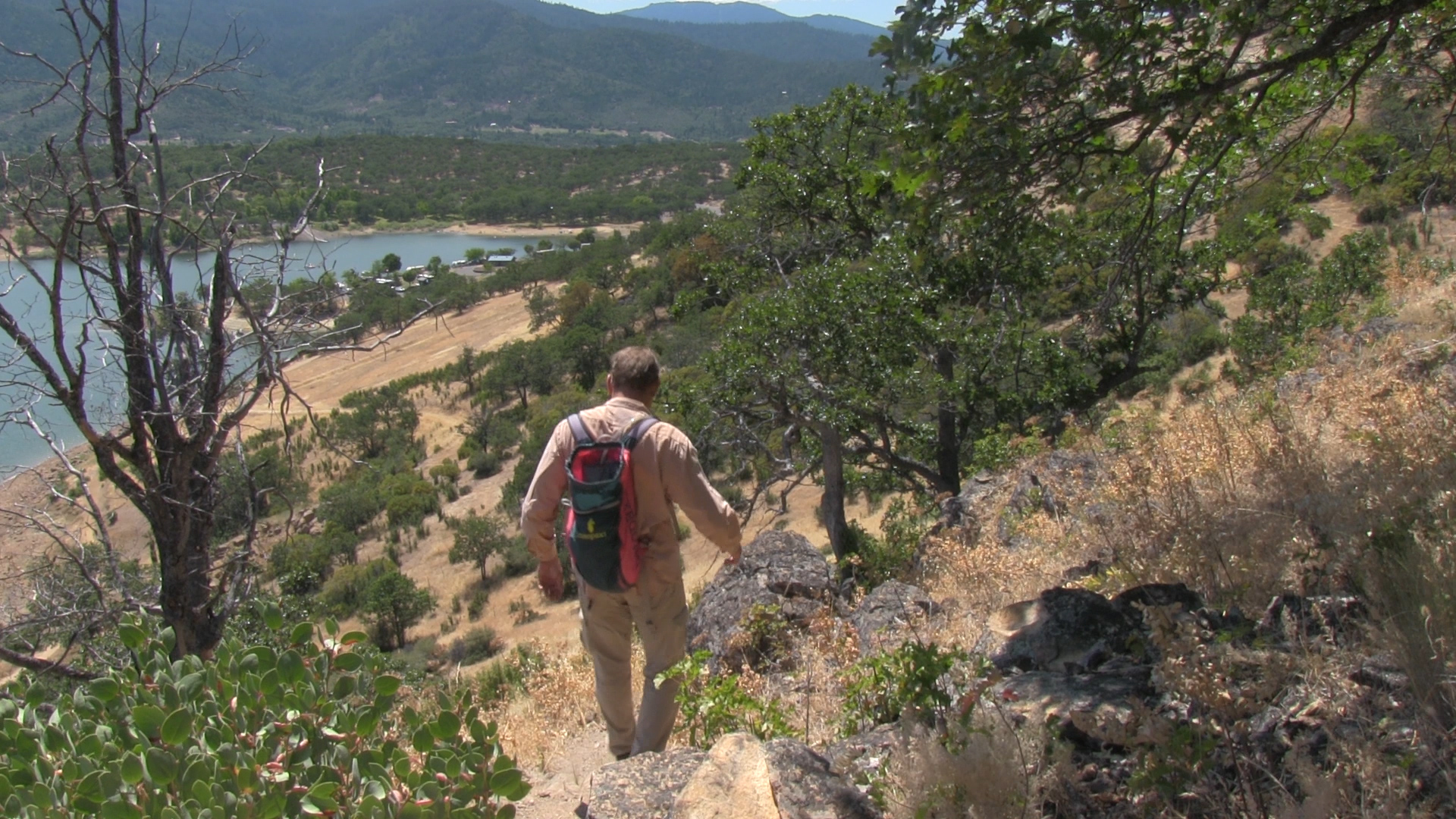
Walk across the bridge and turn left, not right. Quickly, you will cut left past a vaguely gated area. This is a classic, “let’s leave the gate up even though there is an easement here” rural access deterrent move. So now hike along between the lake on your left and fence on your right.
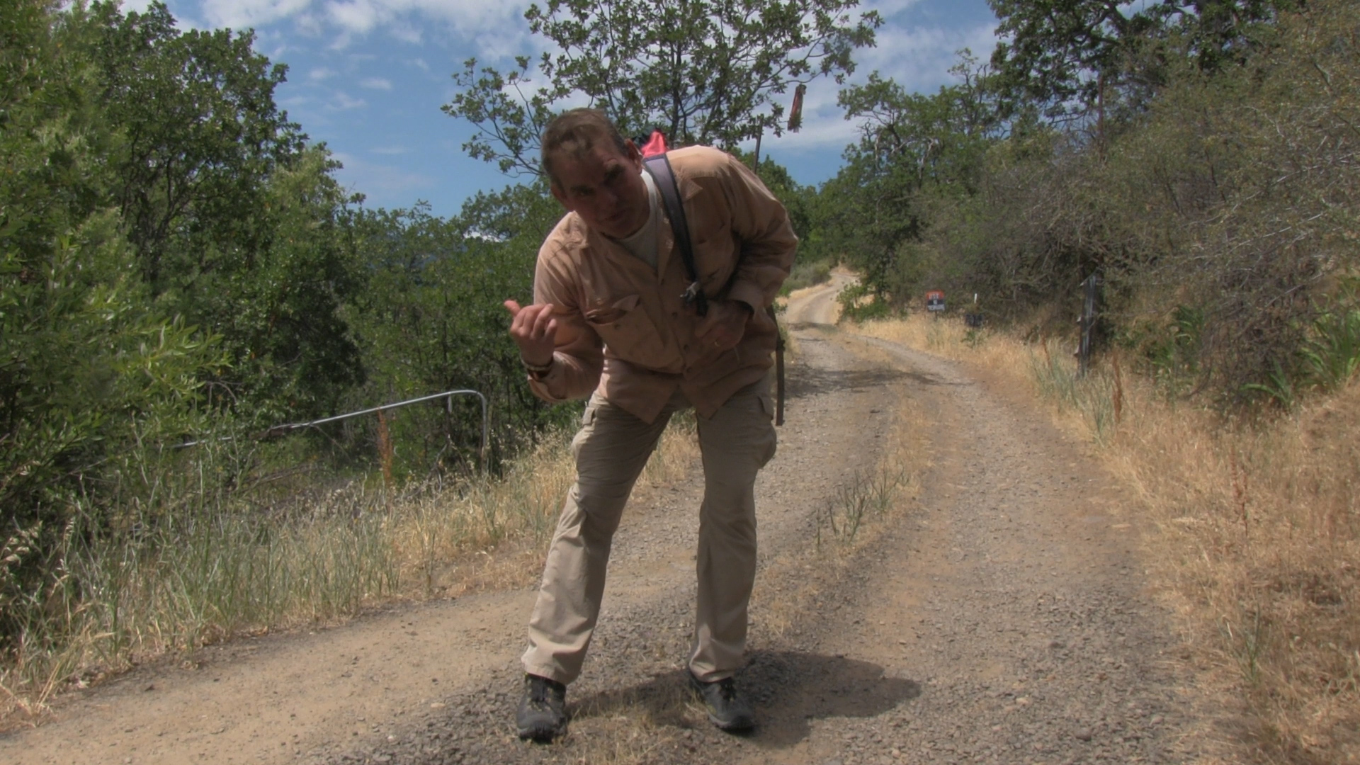
**Note for the entire route**
Depending upon the season, the trail is obscured by grasses, poison oak, or llama poop. Some of these suggestions may be worthless next year… sorry.
**end of llama poop notes**
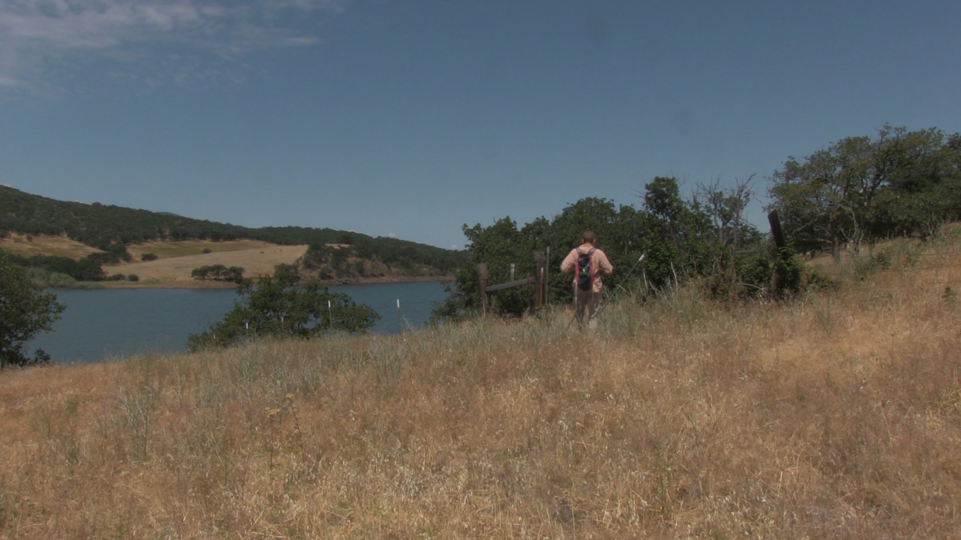
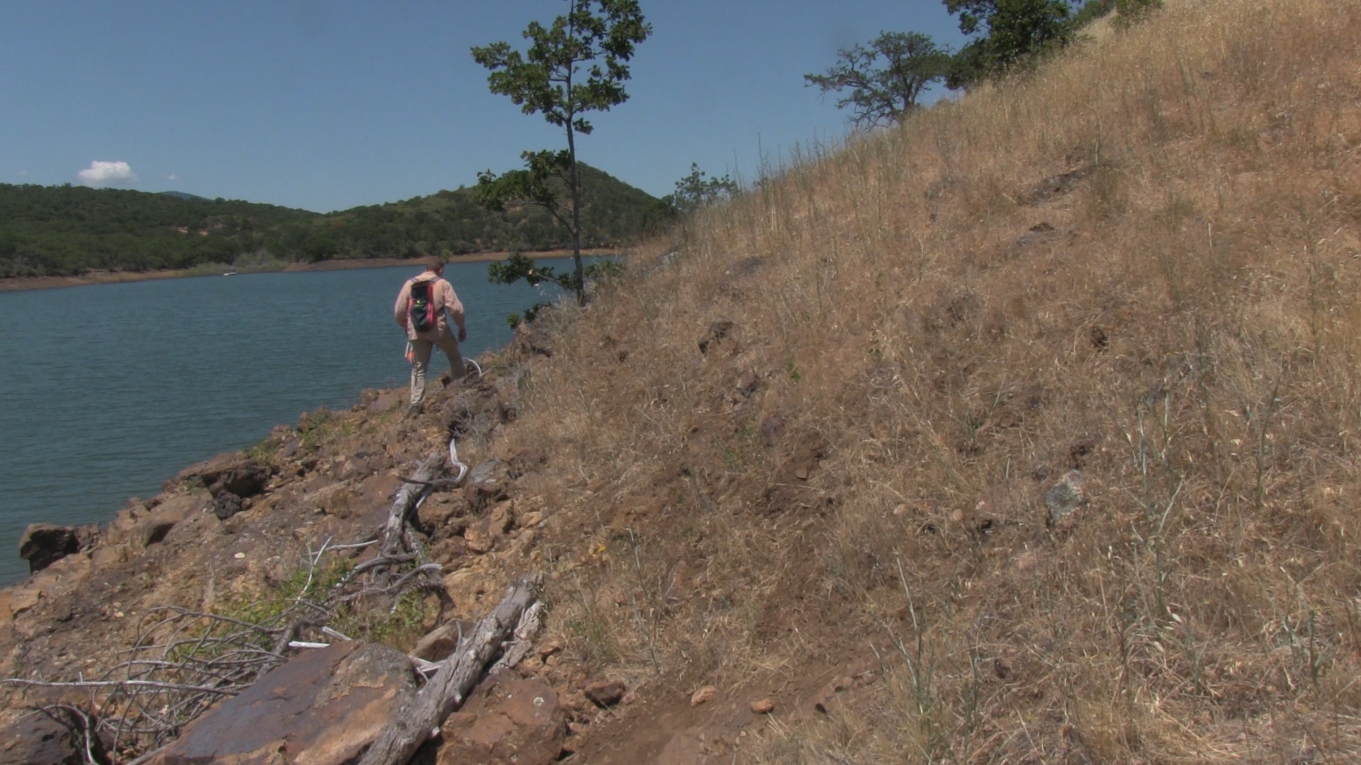
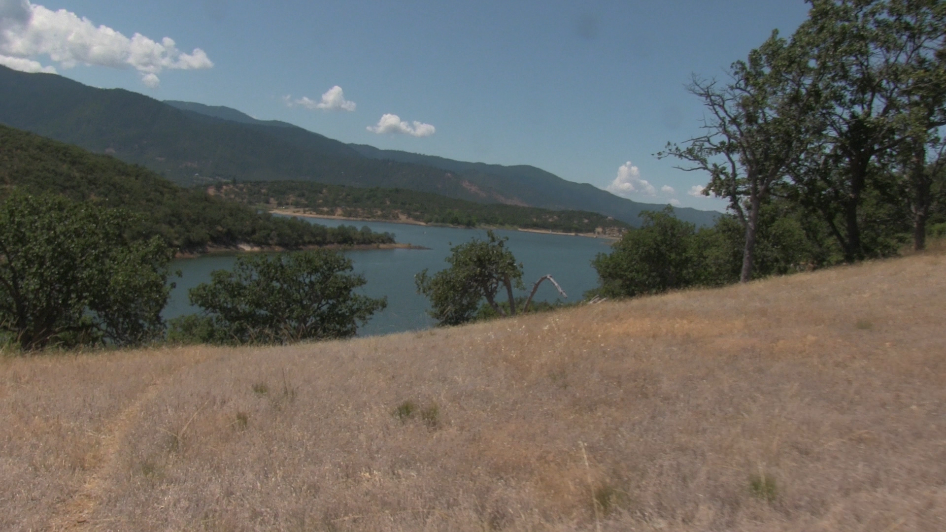
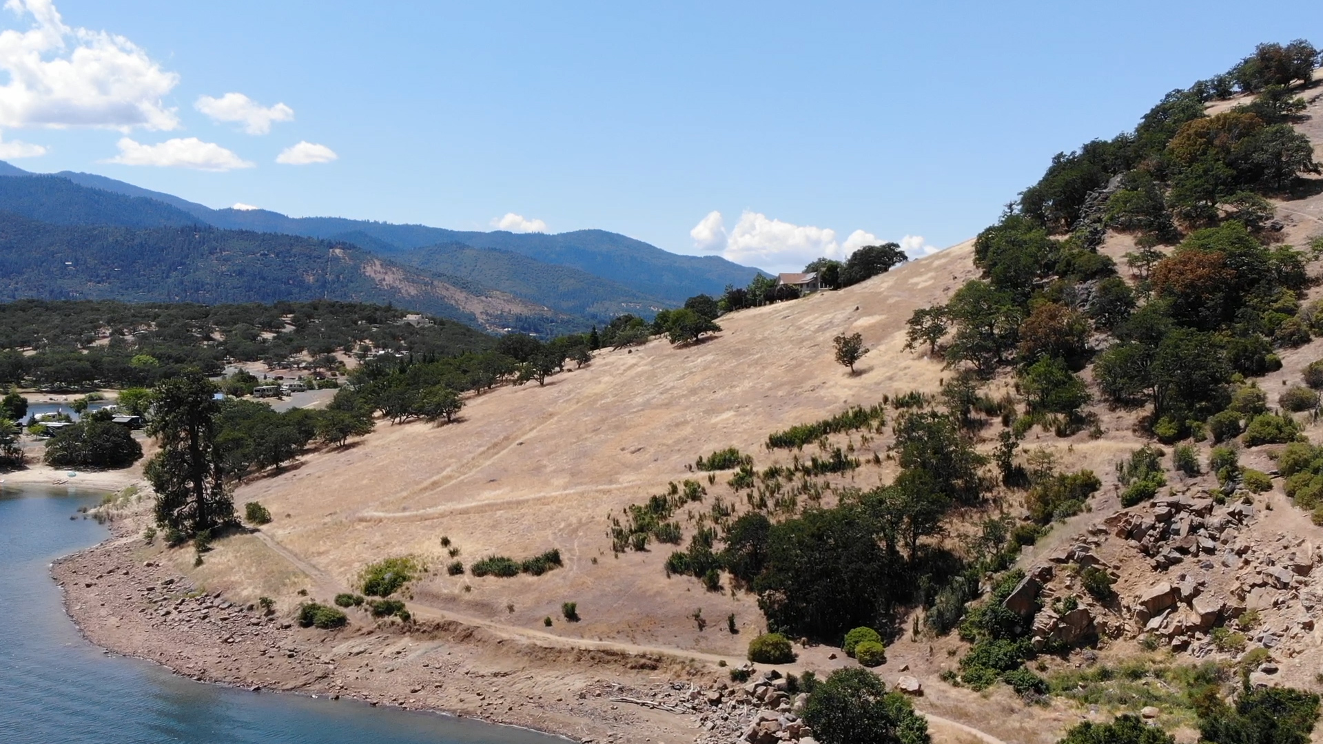
The first mile has some decent trail along the fence-line of private property to your right. The trail will tend to be away from the shoreline. But, upon reaching the first creek inlet/gully, will return to the shoreline again. At the first gully the trail really fractures. The coastline hike is rocky. The higher, hillside hike is intermittent. Pick your poison.
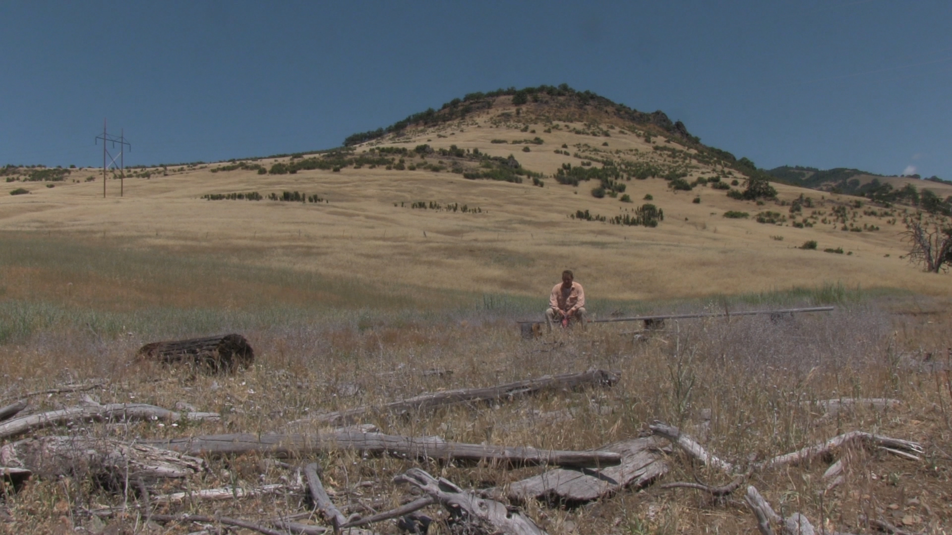
At the second inlet, the trail reestablishes pretty well. Coming along the inlet, the trail is great. And, leaving the bench at the inlet, the trail heads obviously up the hillside. After you crest the ridge and head back down to the lake… all hell breaks lose. There is a half mile of guessing. Spring and Summer are harder, Fall and Winter seem easier.
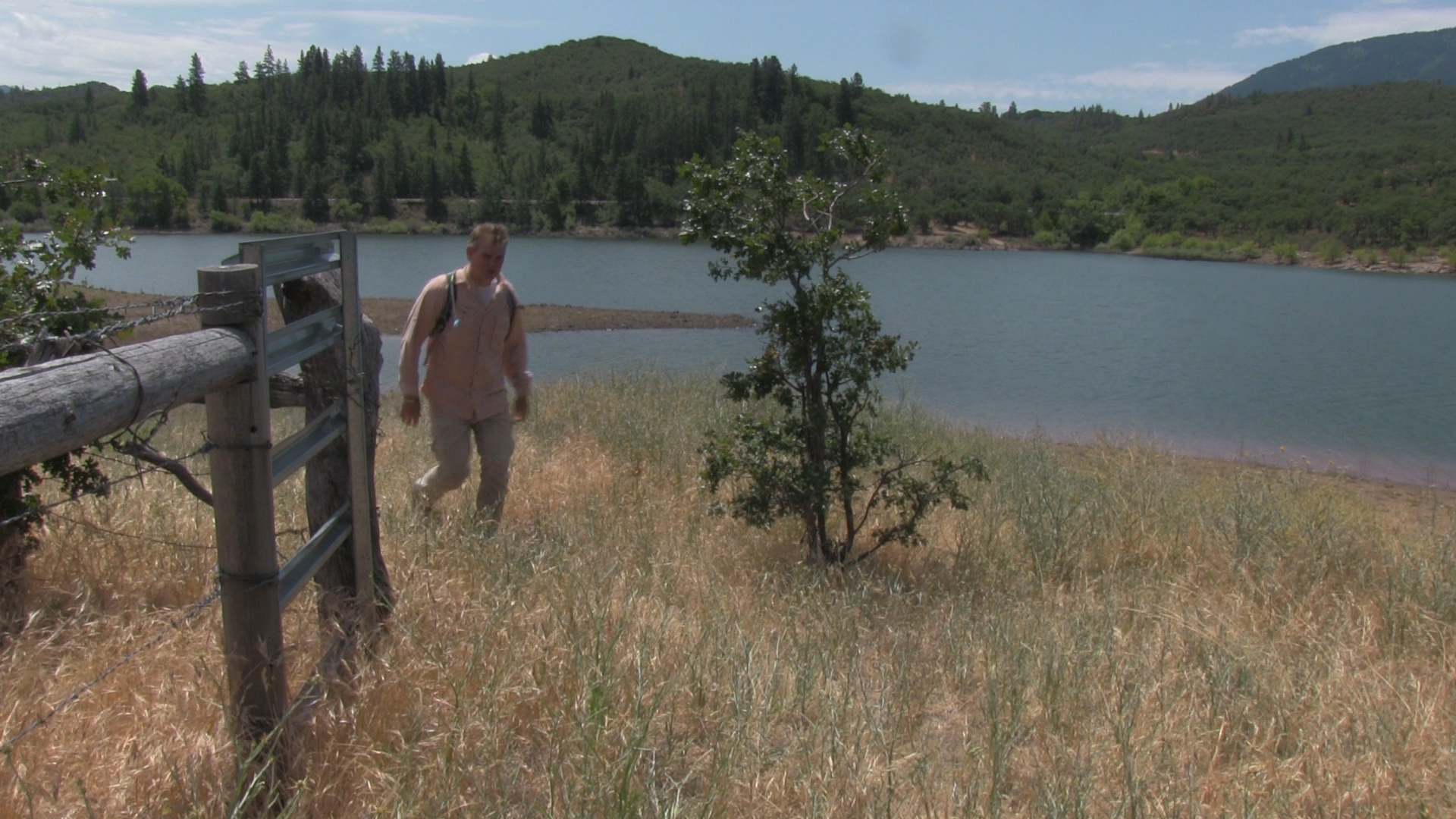
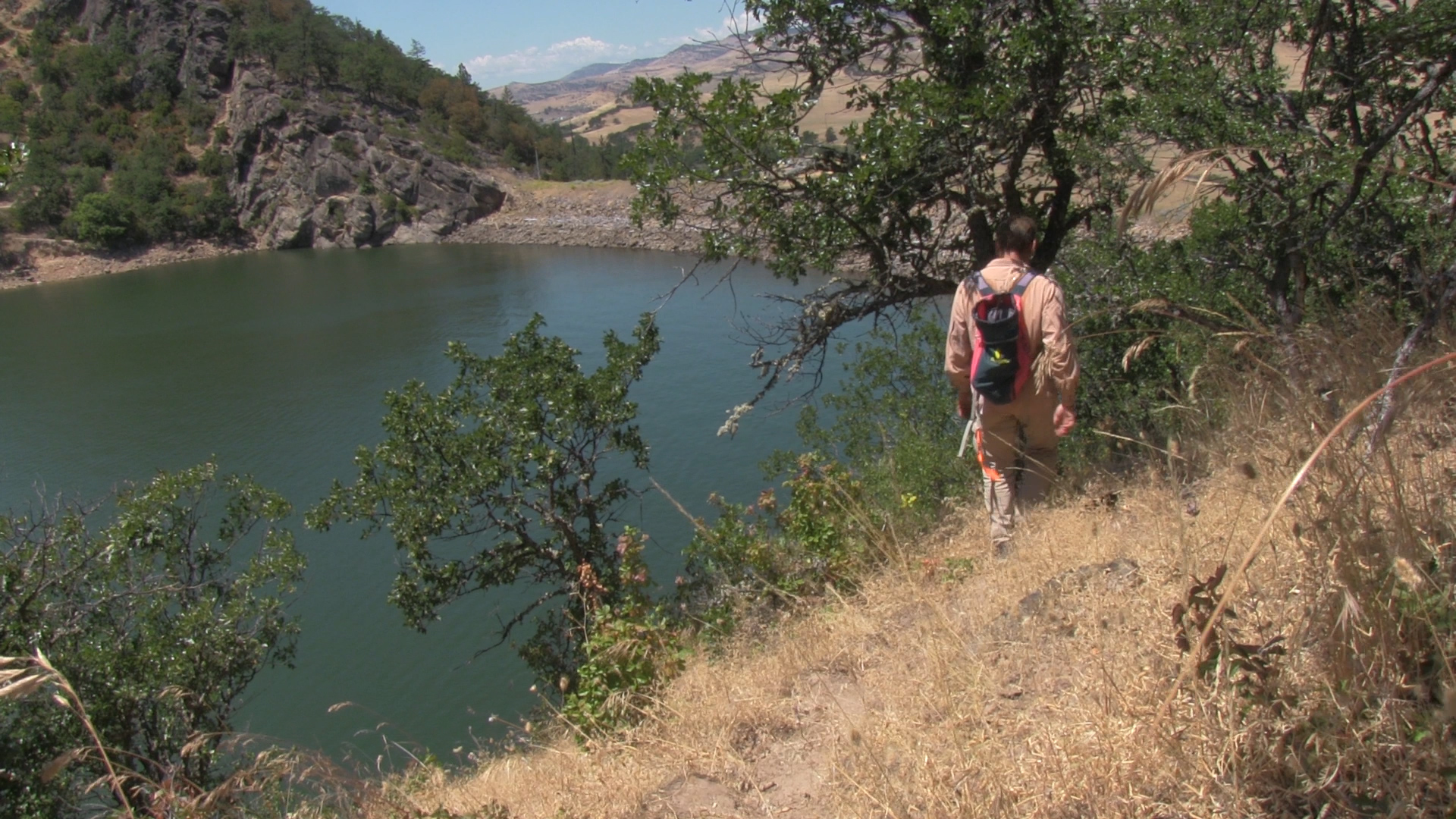
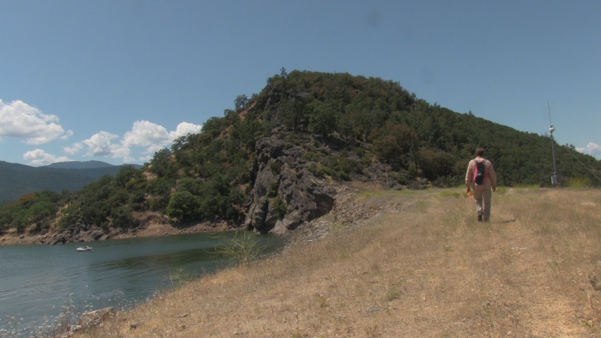
So you get closer to the earthen dam and the trail reestablishes. You get to the dam, you cross the dam, you hike up the rocks on the far side of the dam. This trail is also mediocre. You can reach the rock climbing overlook relatively quickly, but, if you don’t rock climb… you have to pick your way further uphill to a trail 1/4 mile further up. There is a decent trail at the top, but the trail TO the top is crap.
Hit that top trail and head left and descend steeply downhill. Now hike along the lake to the Jackson County Emigrant Lake Camping and Recreation area. When you hit asphalt, you are about a mile from the parking area below the OTHER earthen dam… there are 2 earthen dams… I might be an earthen dam racist but I try to be aware, that just because earthen dams look similar to the unexperienced eye, doesn’t mean they don’t each have their own unique features and contributions to our community. #woke.