
Mt Ashland Summit Trail
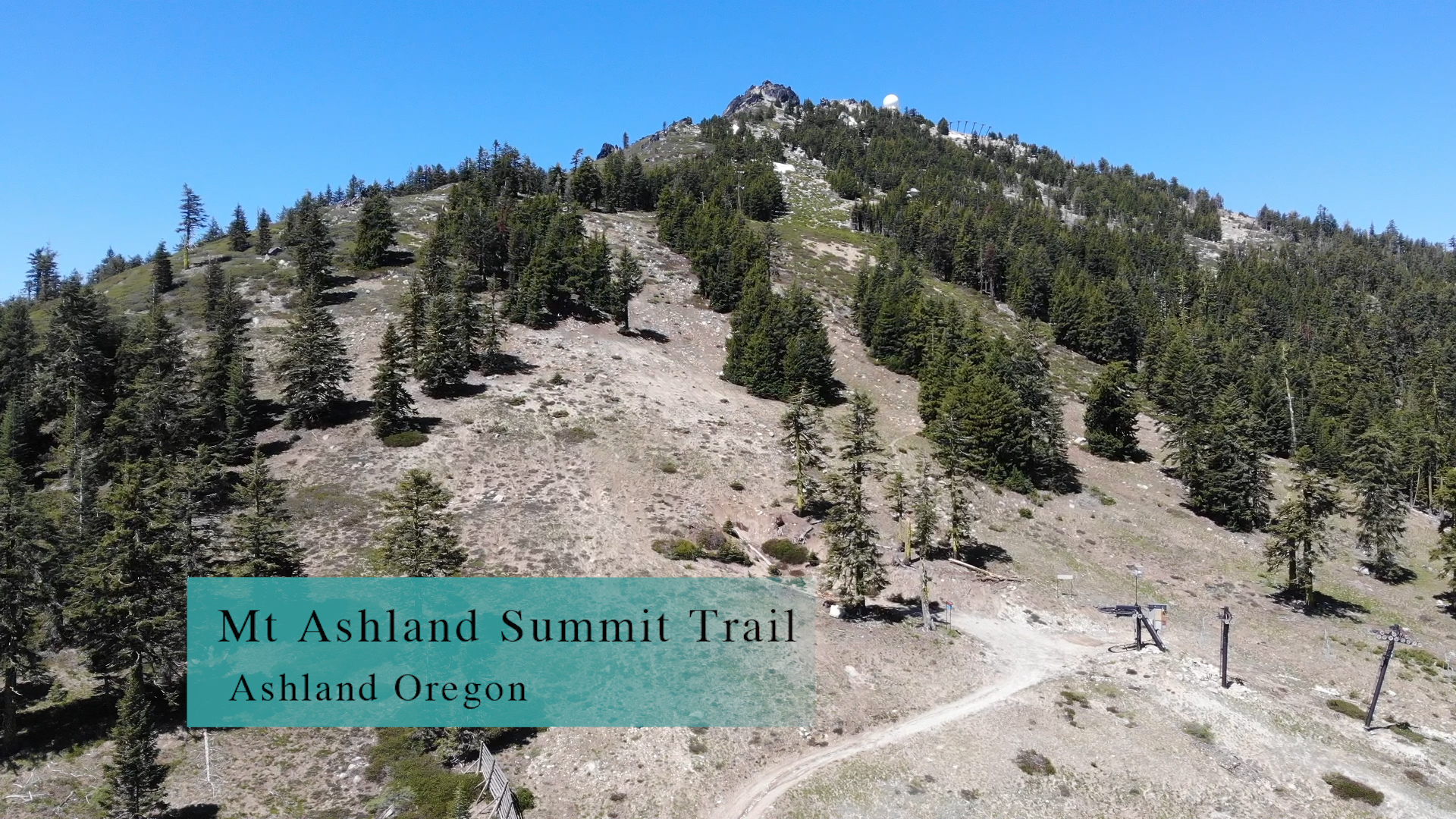
The Mt Ashland Summit Trail is 1 mile long and cuts across the ski slopes from the Mt Ashland ski lodge up to the summit.
Driving
– It’s a 40 minute drive to the Mt Ashland ski area. Get to interstate 5 and head south towards California. Take Exit 6 to Mt. Ashland and continue forward through the off ramp intersection. The first right is the Mt. Ashland ski road and that (wait for it…) does indeed head up to the ski lodge at the top of the mountain. Luckily, this trail is only open in the summer so you will not need chains and the crowds will be much smaller. This section of mountain road is a delightfully twisty 8 miles.
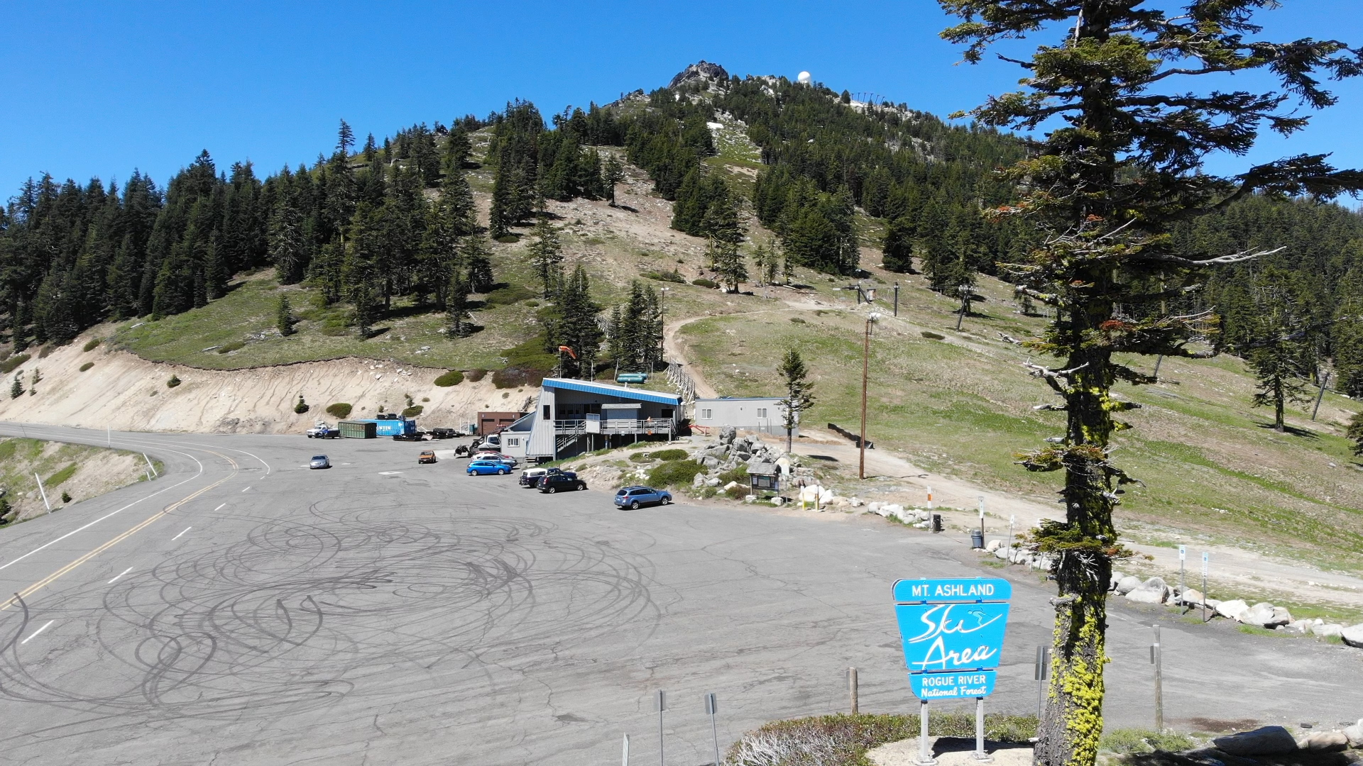
Parking
– There is an infinite amount of free parking! Pull right up to the front.
The Adventure
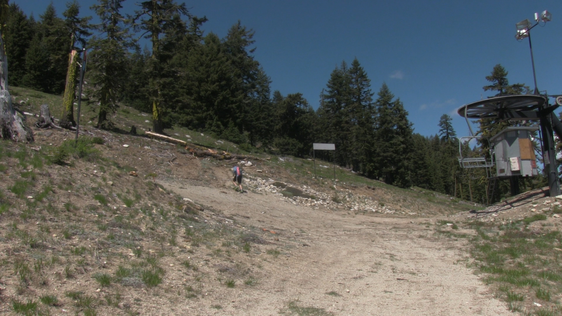
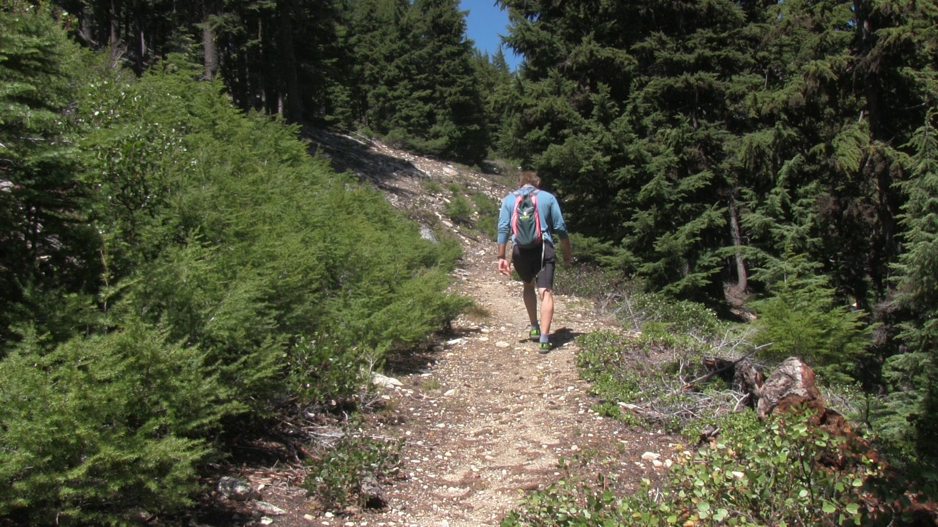
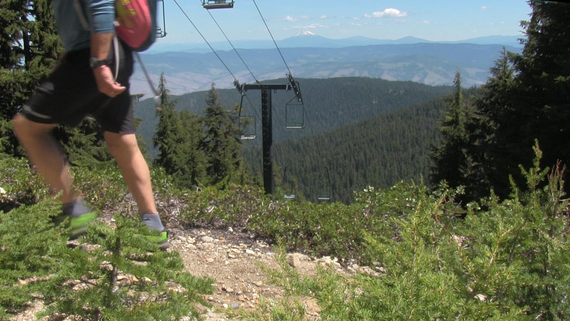
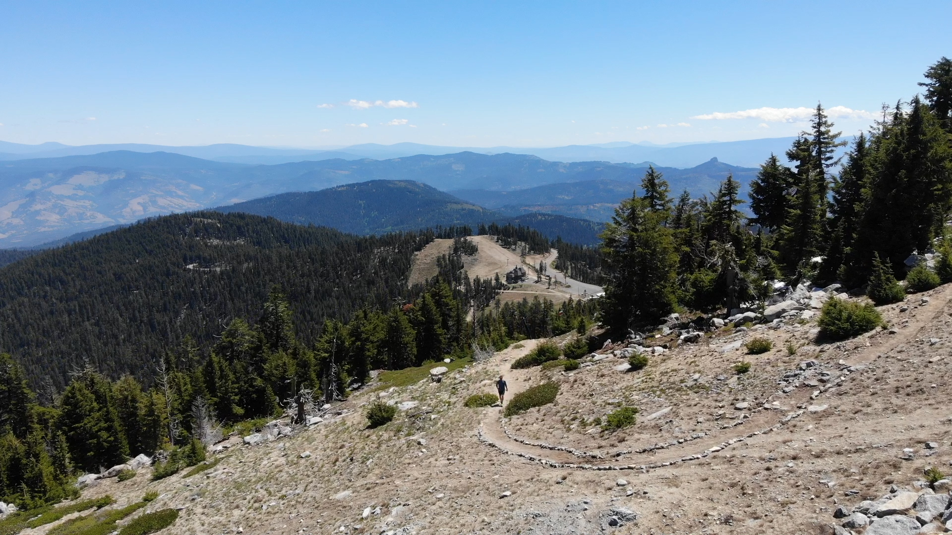
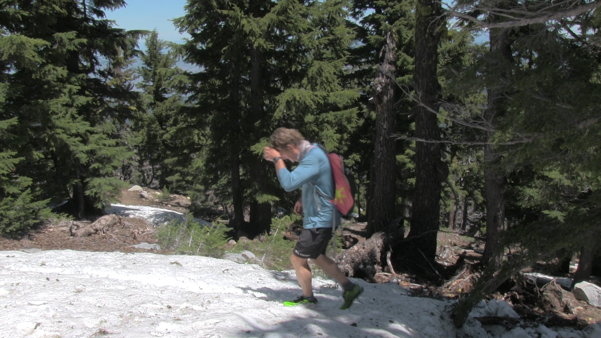
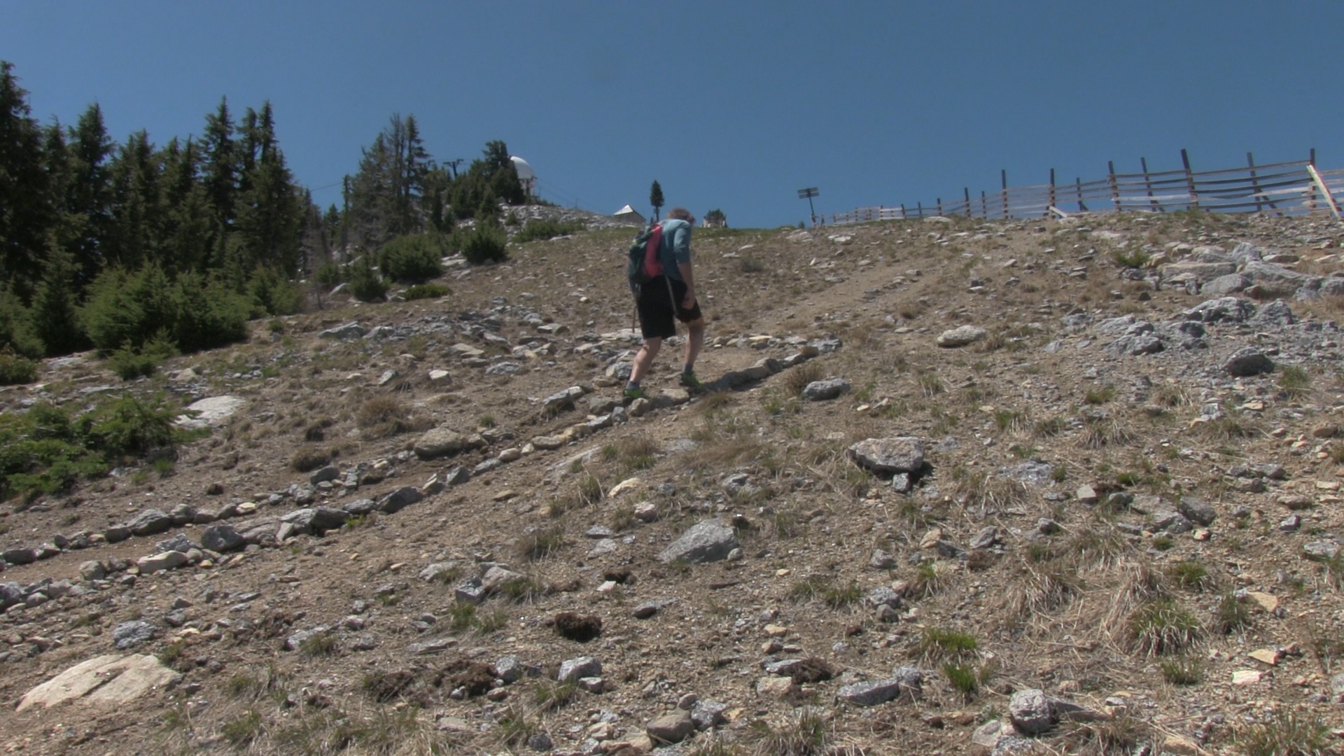
– This is a newer trail and every year the snow season gives it a beating so if maintenance hasn’t happened, it starts rough. From the parking lot, take the access road uphill to the left toward the first ski lift (the Conner lift). From there you will see steps uphill to the left so you take those and are now on a perfect little trail.
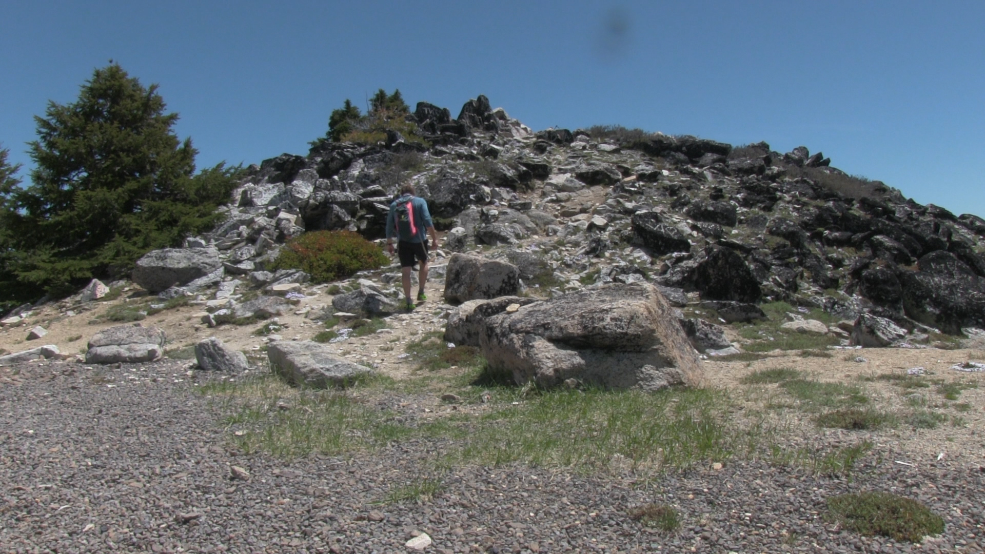
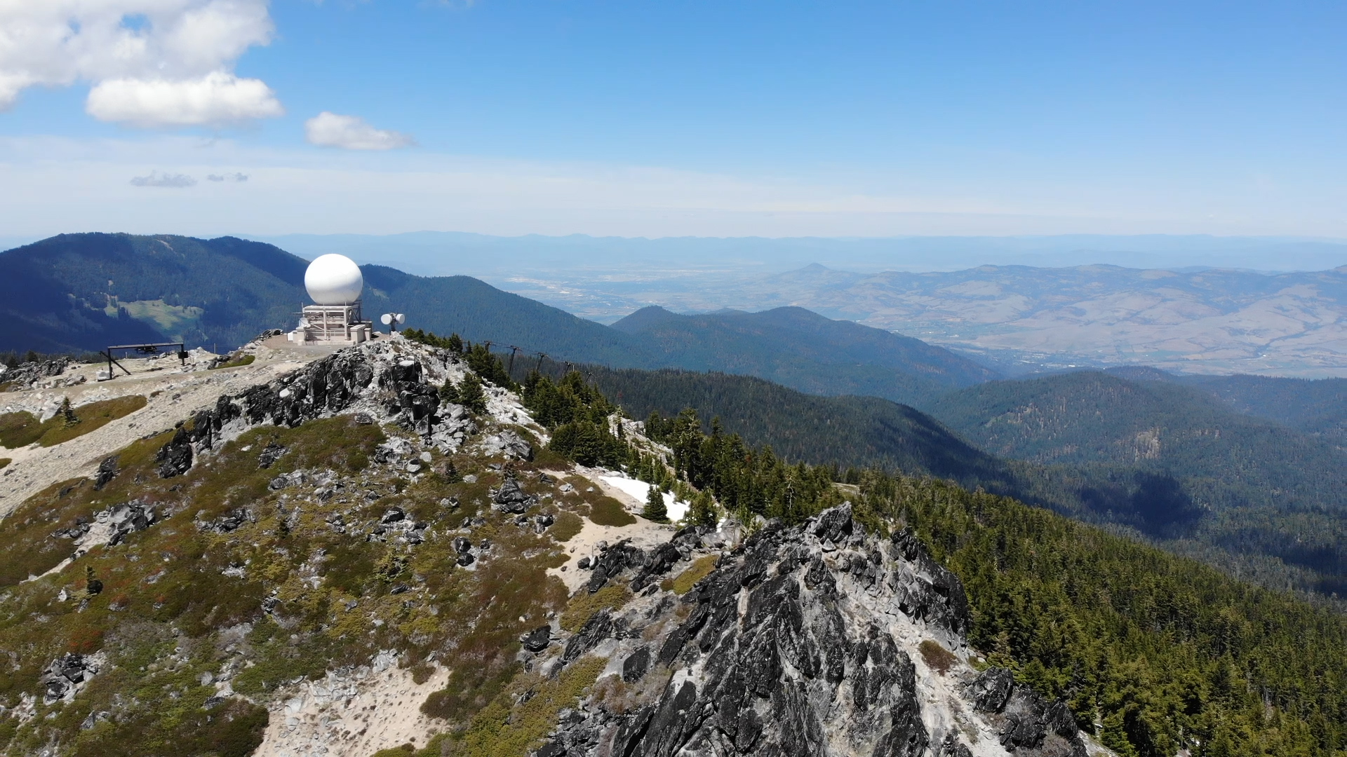
The trail cuts across the slope over to the out of bounds fence, cuts back, and comes out at the top of the ski lift. Take a left turn at the “soccer ball” and you can climb to the summit without any problem. If you turn right at the soccer ball, you can head down the other side of the mountain and connect with the Grouse Gap area trails and add 3 or 4 miles to create a loop along the fire roads back to your car. (click around on This Map if you aren’t familiar with the area.)
Of course, you can just go back the way you came. For some (me) the 7500′ of altitude can be more winding than expected.