
Middle Fork Applegate Creek Trail
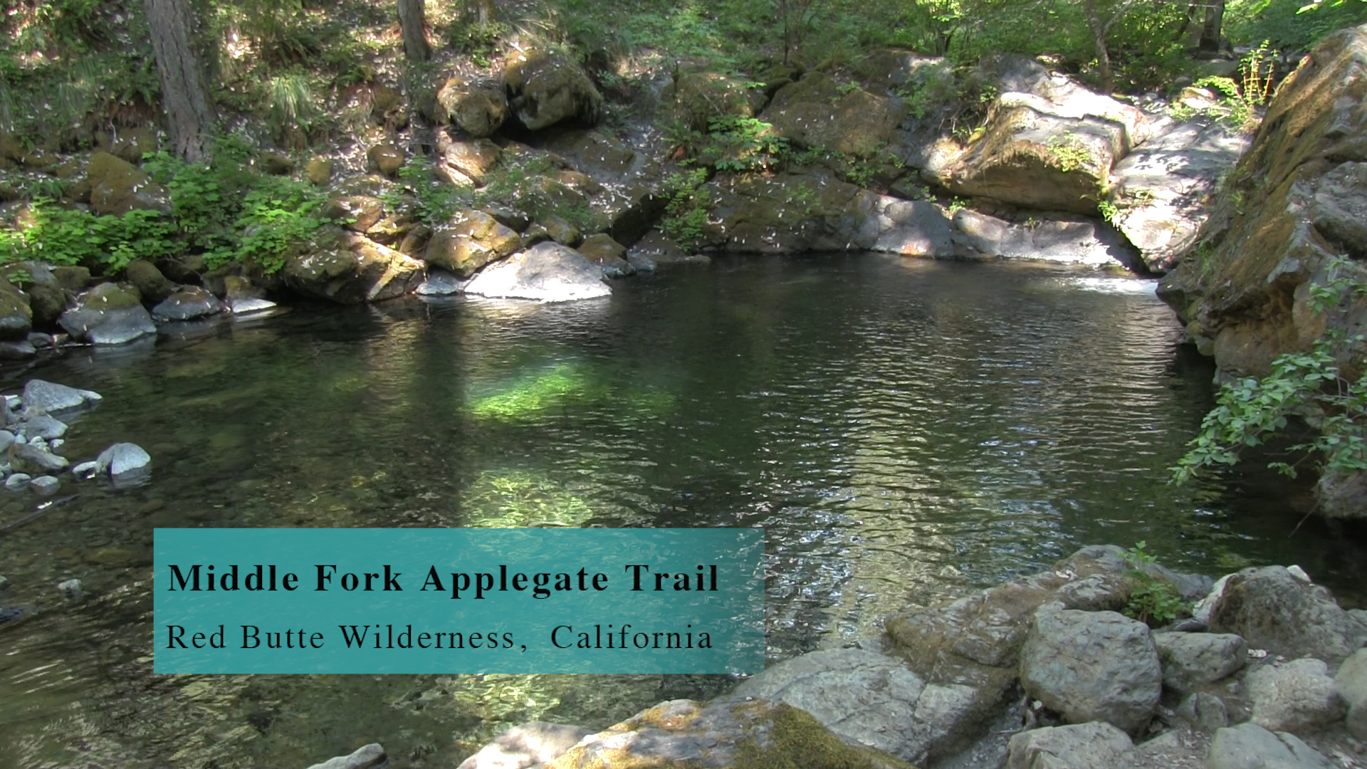
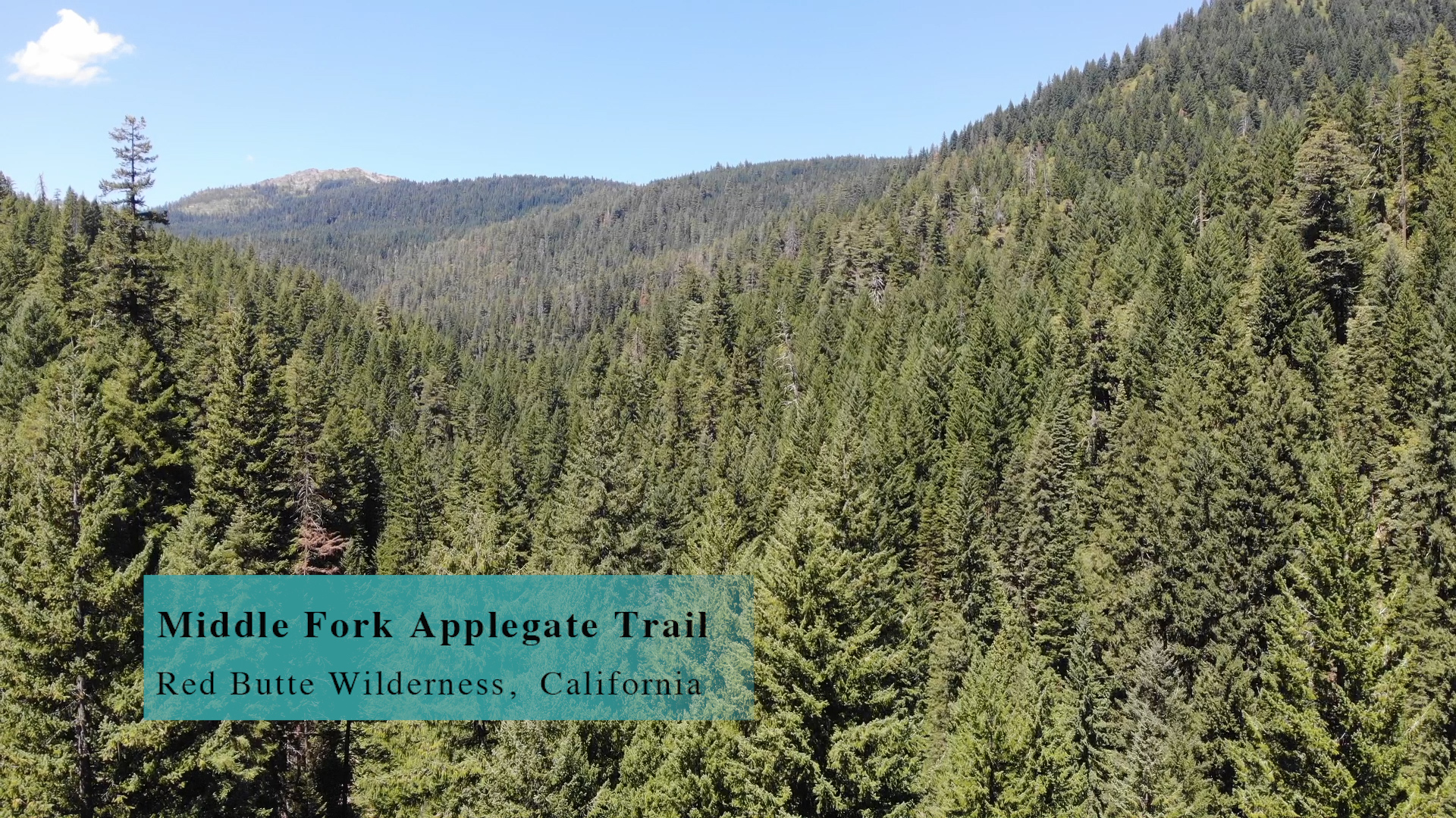
The Middle Fork of Applegate Creek Trail is a 6 mile out and back with amazing pools and gigantic old pines and firs.
Driving
– The Middle Fork of Applegate Creek Trail is 90 minutes from Ashland. Head north on the Interstate 5 towards Medford and exit at the Phoenix exit. Turn left and then right onto route 66 again and quickly you will see South Stage Road. Turn left there and head towards Jacksonville. Route 66 jogs right and left at Griffin Creek Road, and becomes ‘California Street’ as it passes through Jacksonville, but you know what makes sense… it becomes Route 238 after Jacksonville. (sarcasm alert. Doesn’t make sense!)
Wait 10 minutes and at Upper Applegate Road, in the town of Ruch, turn left. There is a big yellow churchy-schooly-realestate-y building there that will probably become a Scientology Center one day. Now you drive along the Applegate river and the valley is beautiful. Pay attention to the signs and turn-off. You are headed for the reservoir. When you get to the reservoir, drive along the right side of it to the end. Then, turn left at the end. You are still going around the reservoir and when you cross the little bridge where the Upper Applegate River enters the reservoir, continue forward past the “Seattle Bar” picnic area and in 200 yards you’ll enter California and hit an enormous dirt intersection. Make a hairpin right turn onto the gravel road. There is 5 miles of this. Cool bridges across the river. Lots of dispersed camping. You reach a significant intersection with a bridge to the left (officially the continuation of FS Road 1040) but you continue forward for a couple hundred yards and BAM! You’ll see the trailhead.
Parking
– A kinda “non-parking-lot” area to your left. More of a “pull-out” vibe, but the remote gravel road makes it easy for a dozen cars to pull in to the pull-out.
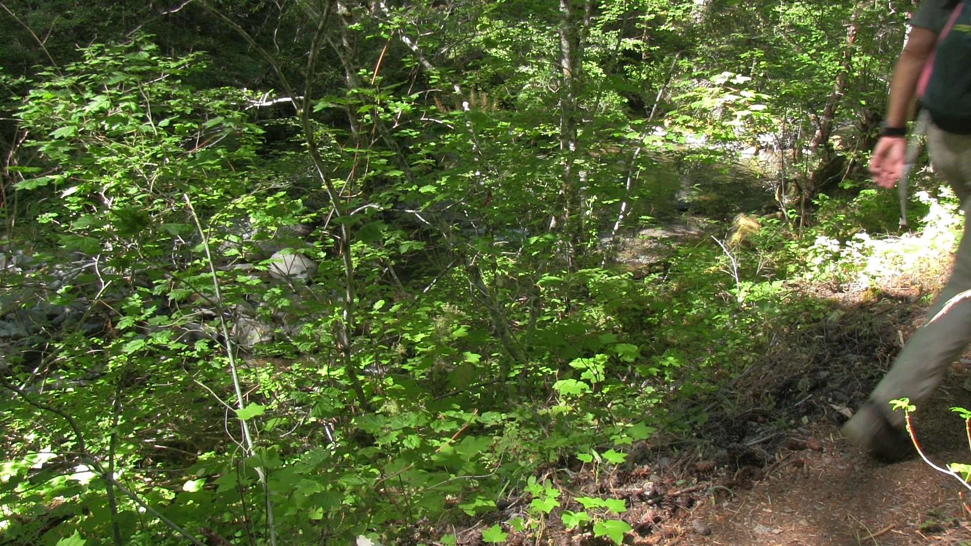
The Adventure
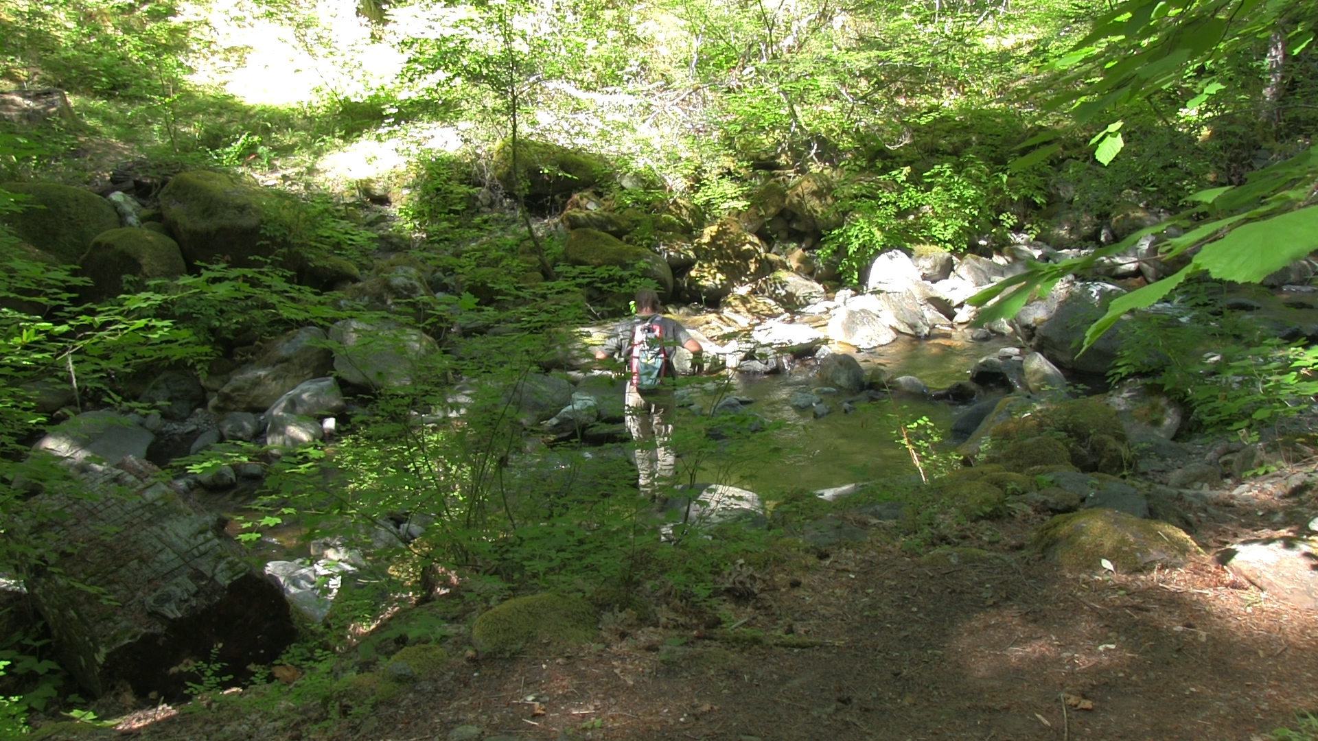
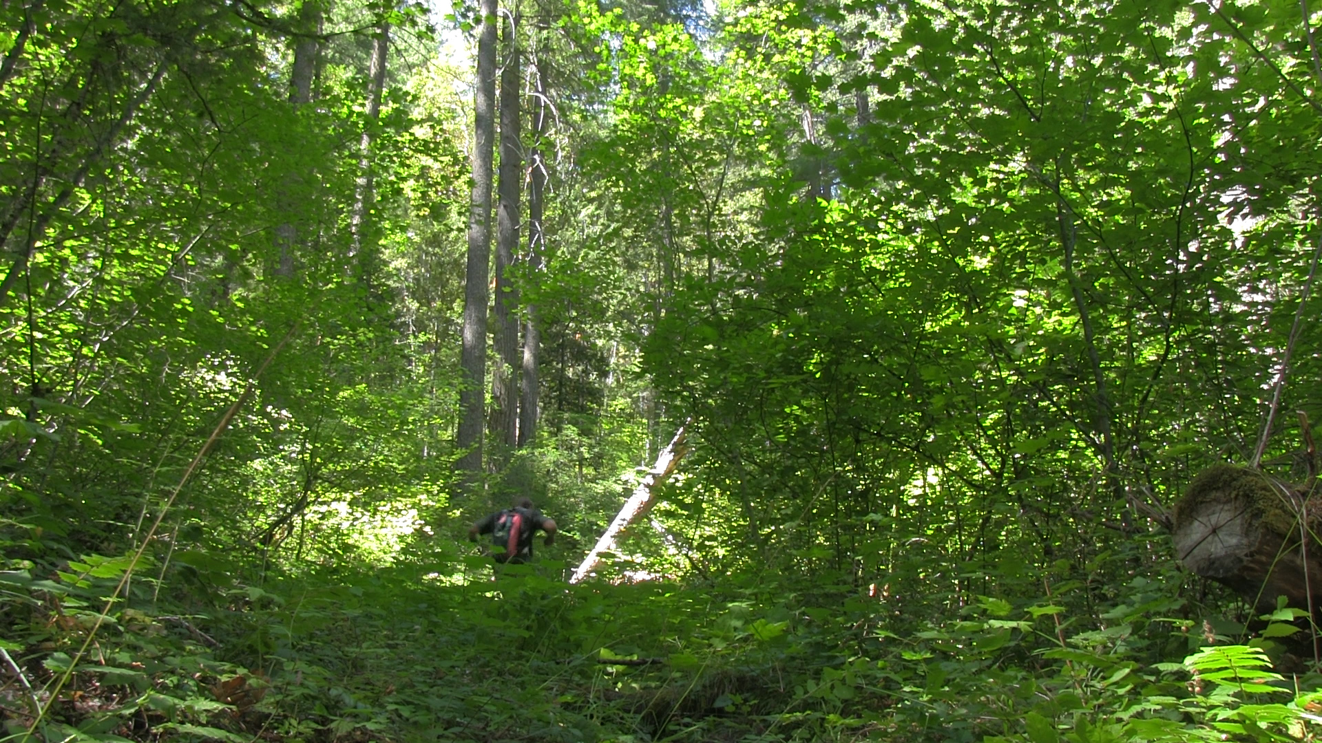
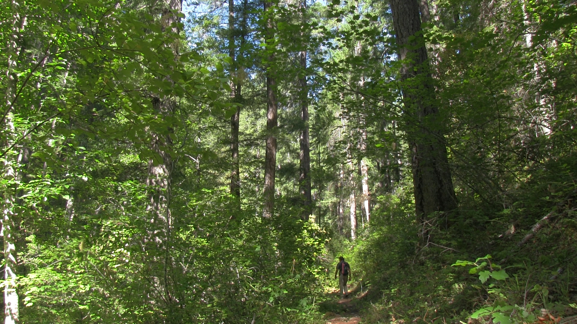
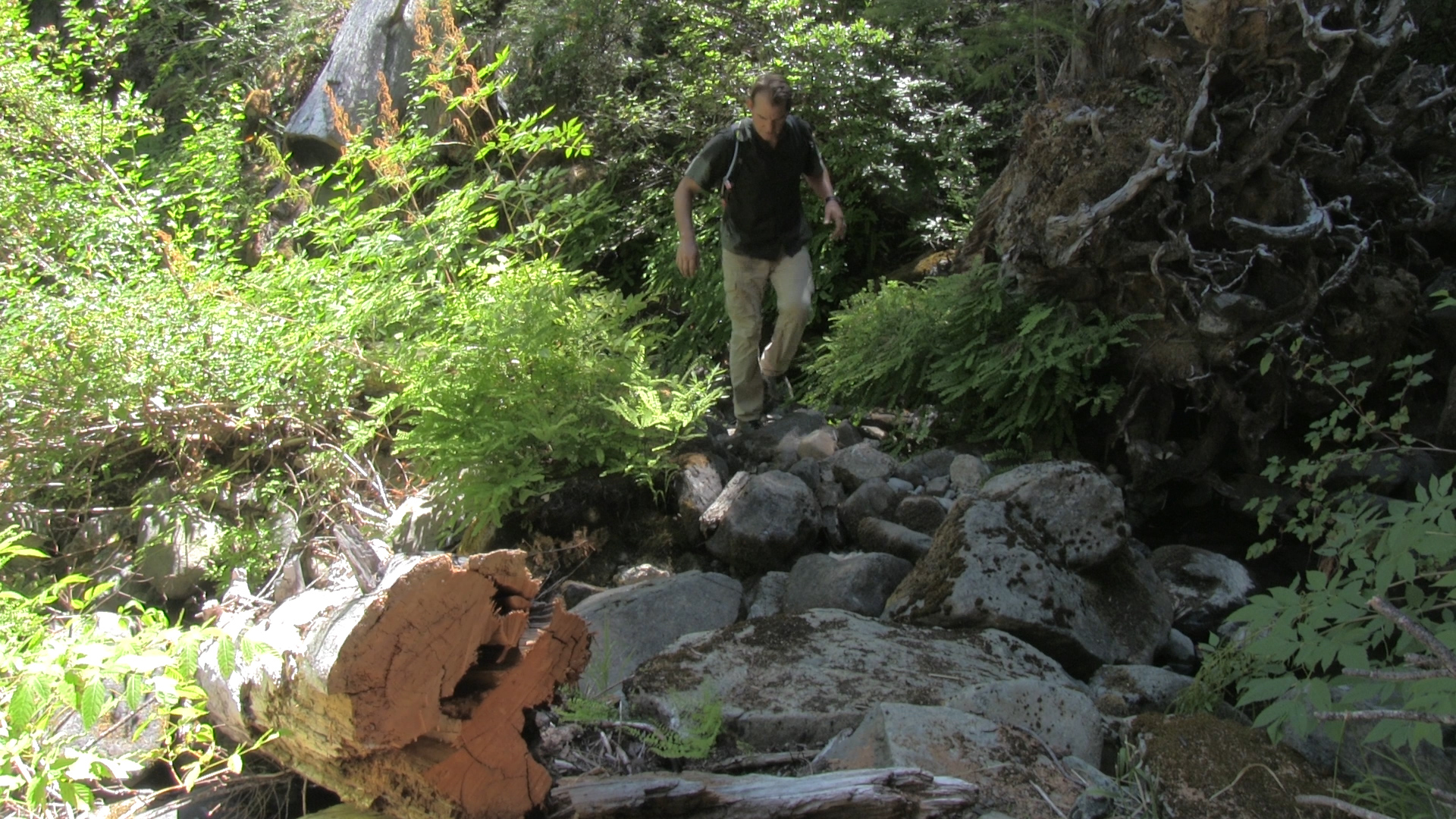
– The first mile follows along the creek but a respectful 50 feet away from it. There are numerous paths that head down to the water and that is usually because of some spectacular swimming hole. Check them all out – All of them! Many people just come to hang out in this area and then go home. However, the trail crosses the creek and that is not super obvious. I’ve seen maps calling it Applegate River, but that’s silly. This is a creek because you can boulder across it. I’ve heard there used to be a rudimentary log bridge somewhere, but I didn’t see evidence of that.
Crossing the creek – The trail widens as you arrive at an opening along the creek with another “Claim. No Mining” sign. A small trail seems to continue upstream past the sign, but it peters out quickly. Look across the creek and you can see the vague slant of an opening in the woods. Jump across the boulders to the other side and you will indeed find a trail. Granted, not as well traveled so keep you expectations low.
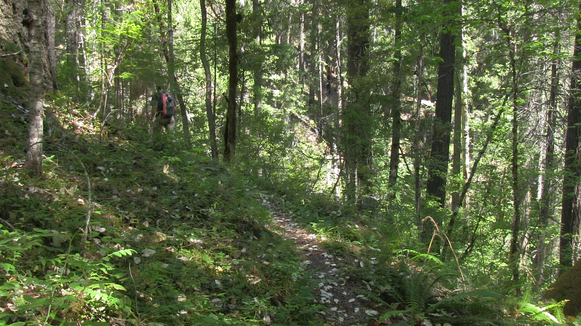
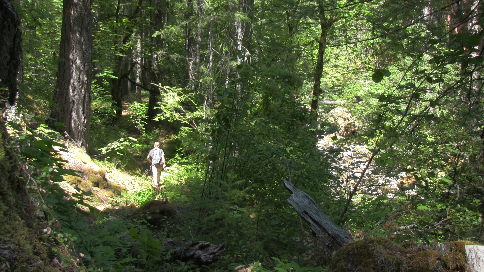
The next 2 miles are a steady uphill further above the creek, but underneath some ginormous pines and firs. Some areas are slightly overgrown and some feeder creeks have washed out some spots, but that just makes it awesome. It feels like you are constantly climbing out of the ravine but then you turn a corner and – bam – the creek is still right there. The road is the end so turn around and come back down.