
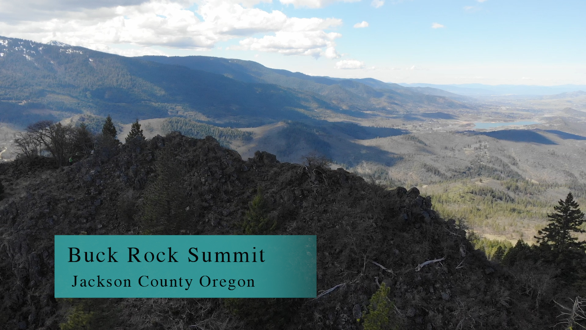
Buck Rock Summit
The Buck Rock Summit is a 4 mile out and back trail on an overgrown fire road. The actual summit is a 200 yard scramble up rocky, ticky, snakey, poison oaky hillside. This is on you…
Driving
– It’s a 25 minute drive from Ashland. About 13 miles. Start off toward Emigrant Lake heading south on Siskiyou toward SOU. Take Ashland Street left toward Interstate 5, cross the freeway, sweep 90 degrees to the right and you are now on Green Springs Highway. Pass Emigrant Lake on your left and just as you cross over Emigrant Creek you will turn right on Buckhorn Springs Rd. A quarter mile to your right is a dirt road (39-2E-34) that heads uphill into the Cascade-Siskiyou National Monument lands.
Rattle your brains on this bumpy dirt road for 2 1/2 miles and voila!
Parking
– A posted, gravel, well-maintained lot to your left with room for a dozen cars.
The Adventure
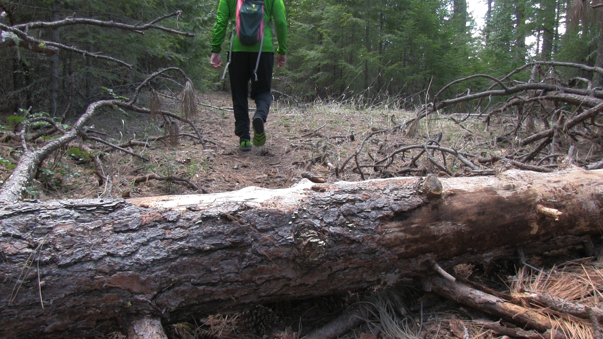
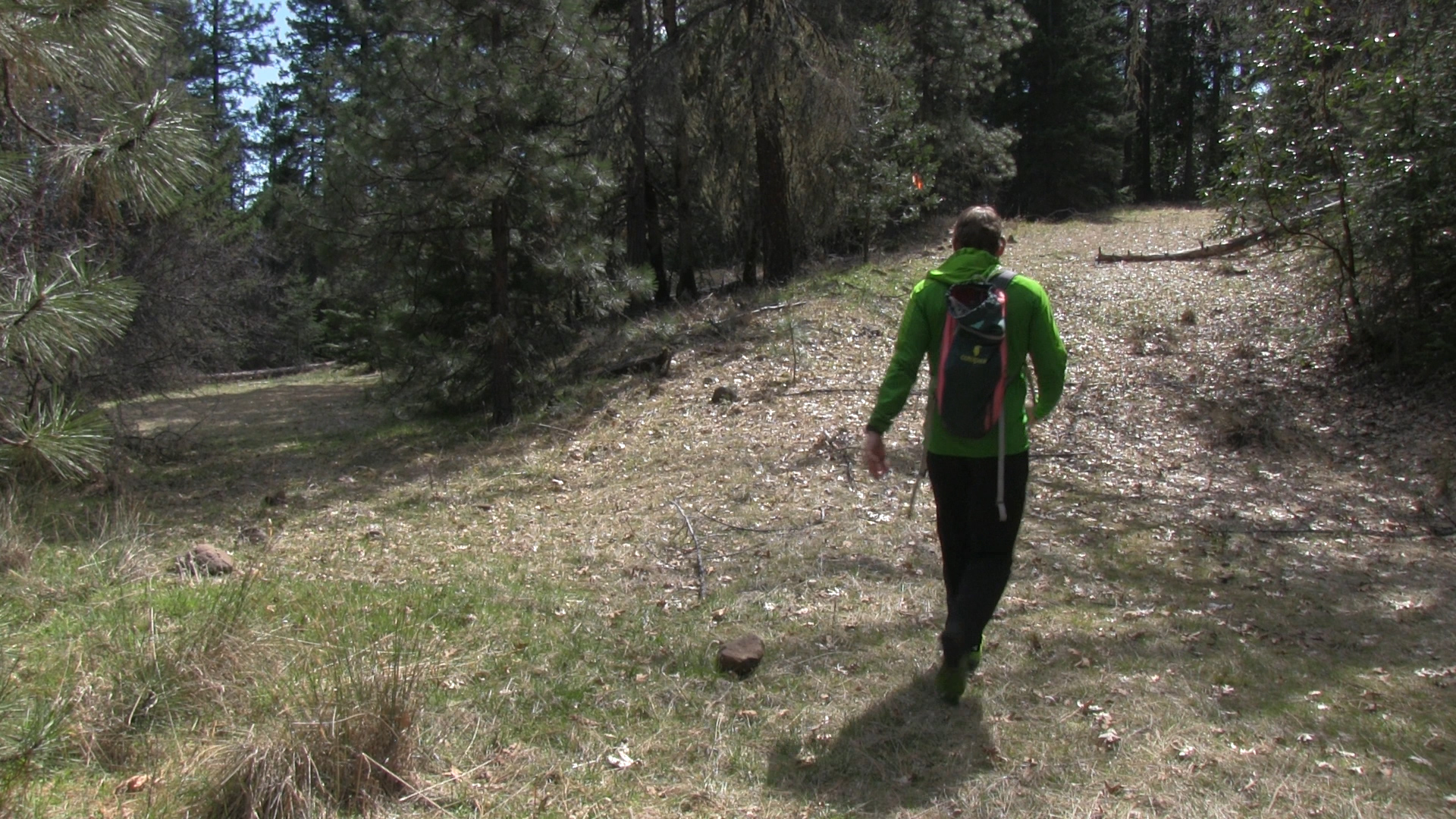
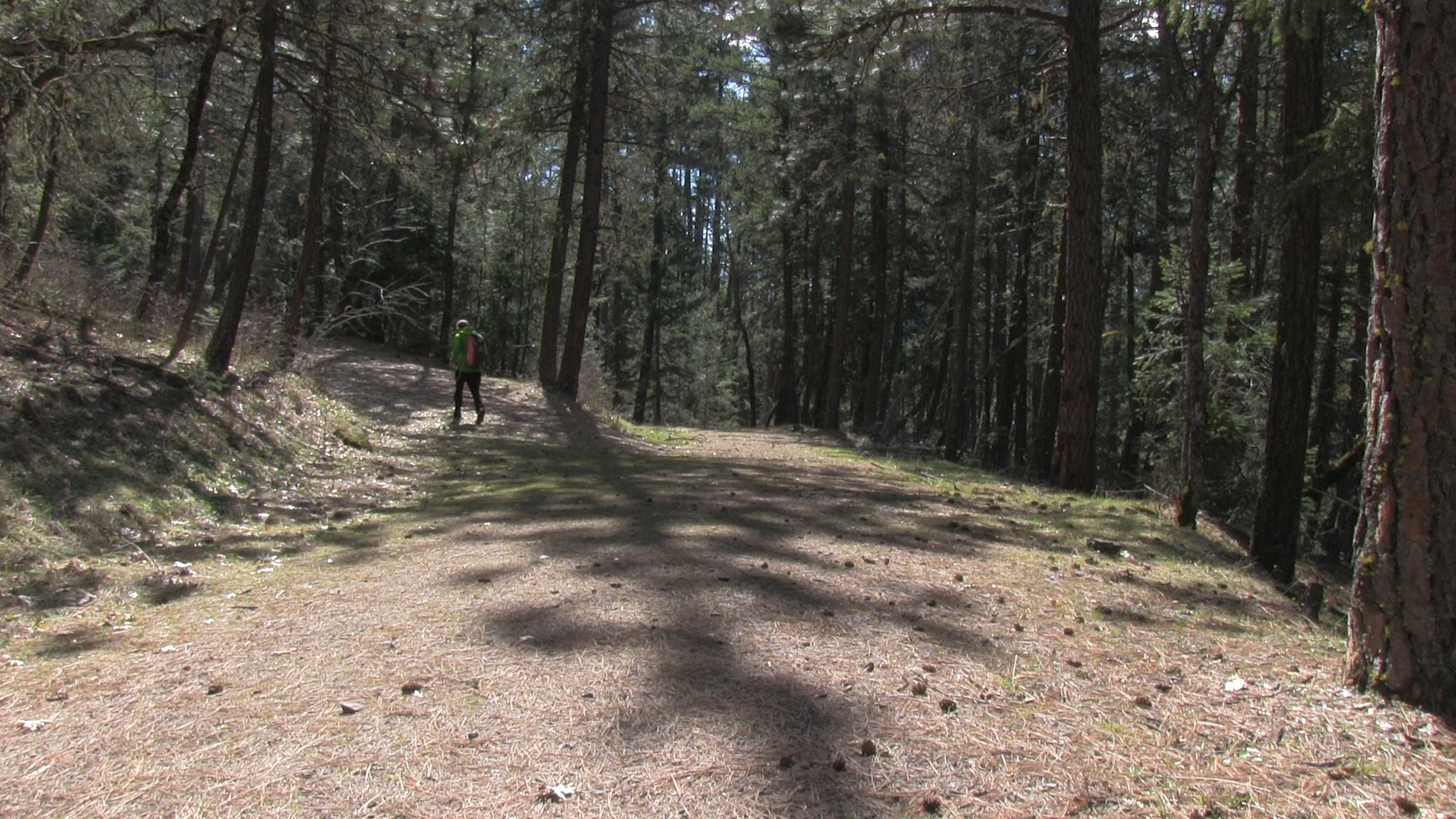
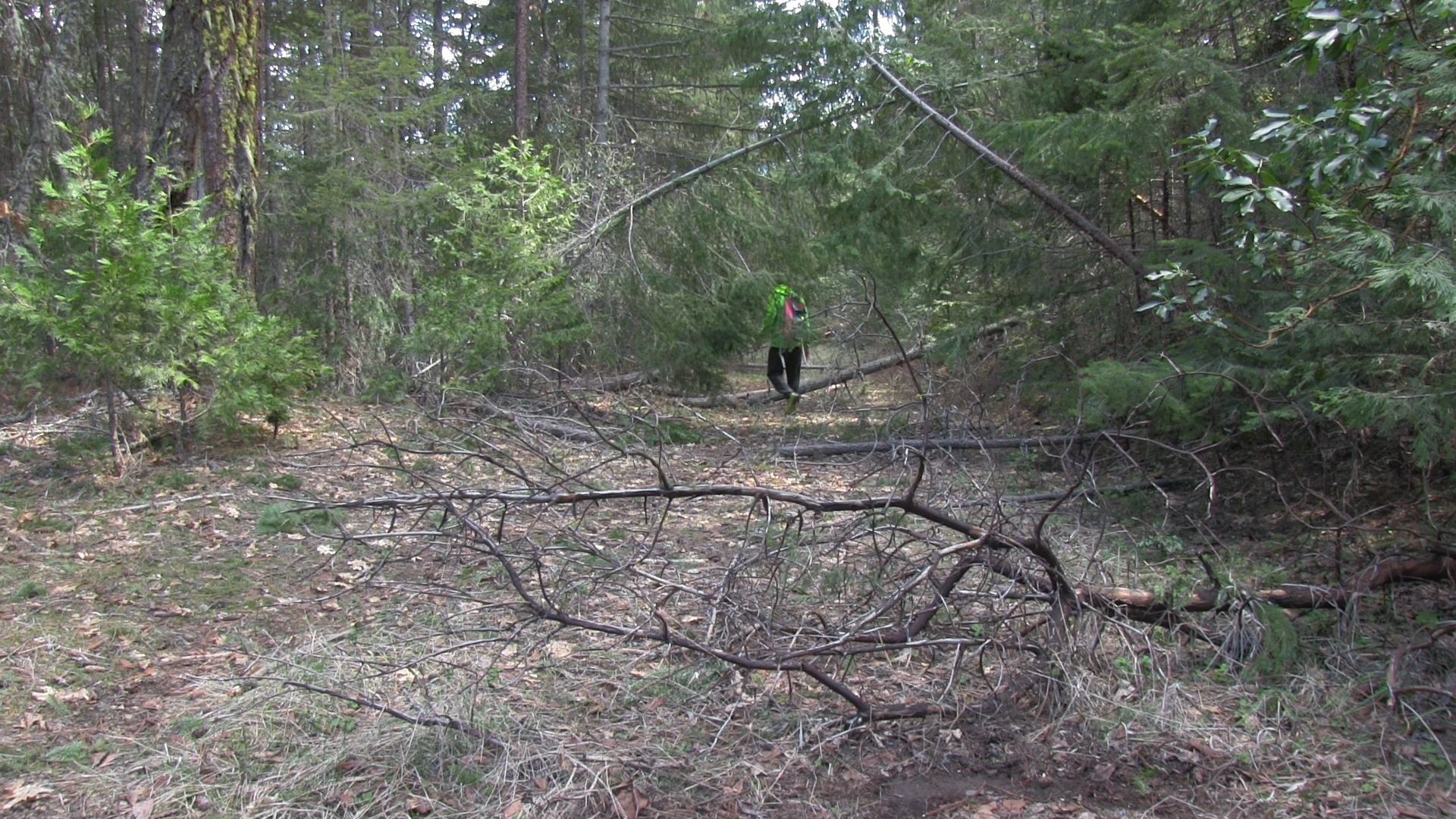
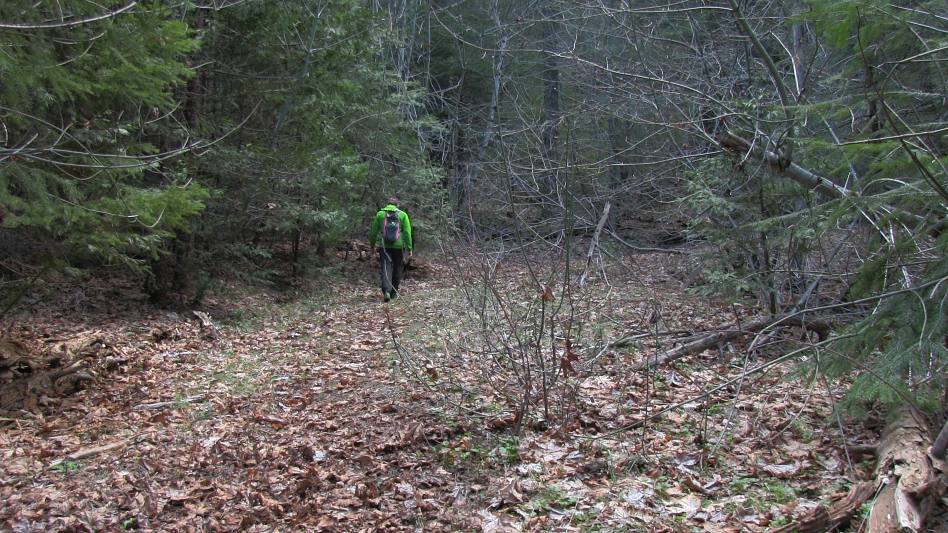
-From the parking area, cross the road and head around the yellow pipe gate. This is mostly overgrown fire road so tamp down your “quaint trail through the pines” expectations. The first half mile is uphill and reaches a definite ‘Y’. The right turn takes us to the top. Less than 1/2 mile later there is another ‘Y’. Take the left turn uphill.
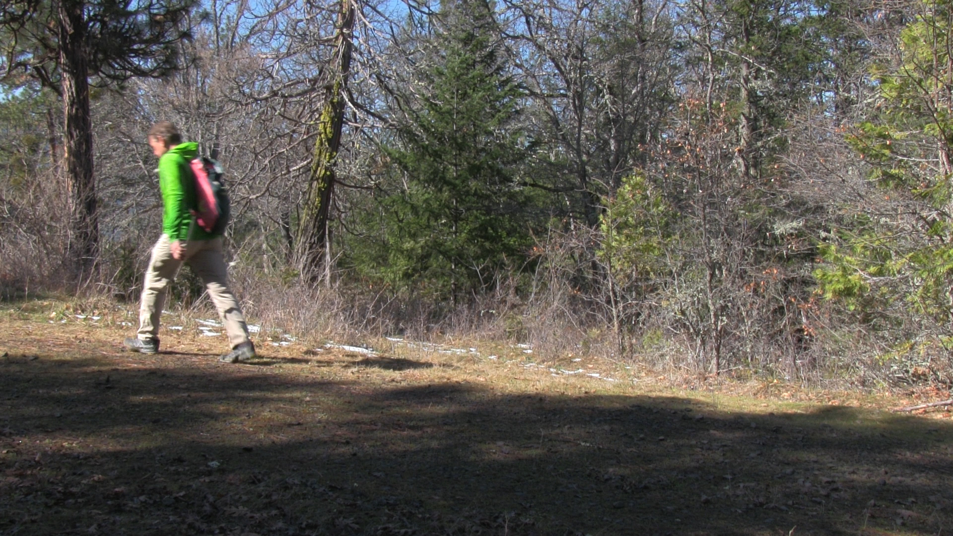
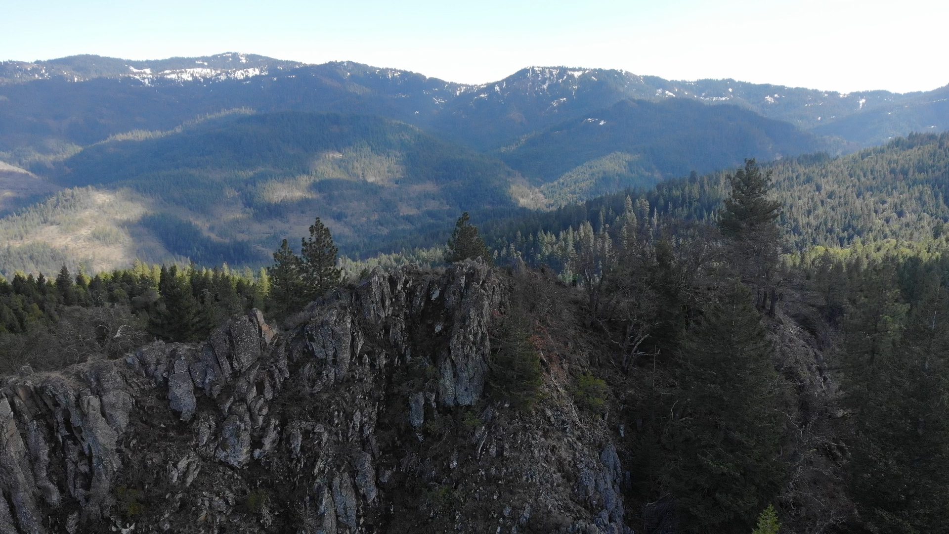
Now the road get’s more overgrown and has many more downed trees to navigate. About 1/2 mile in there seems to be another intersection, or clearing, it’s a… I don’t know what the hell it is… but just go uphill to the right. About 1/4 mile later the trail peters out at a clearing about 200 yards from the summit.
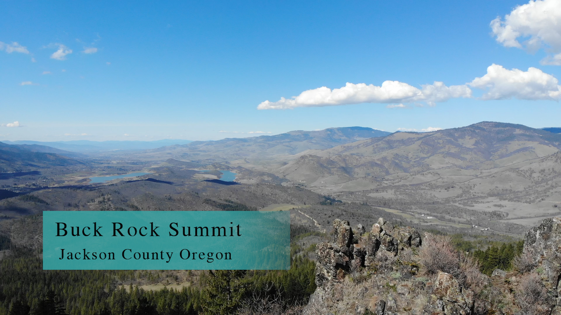
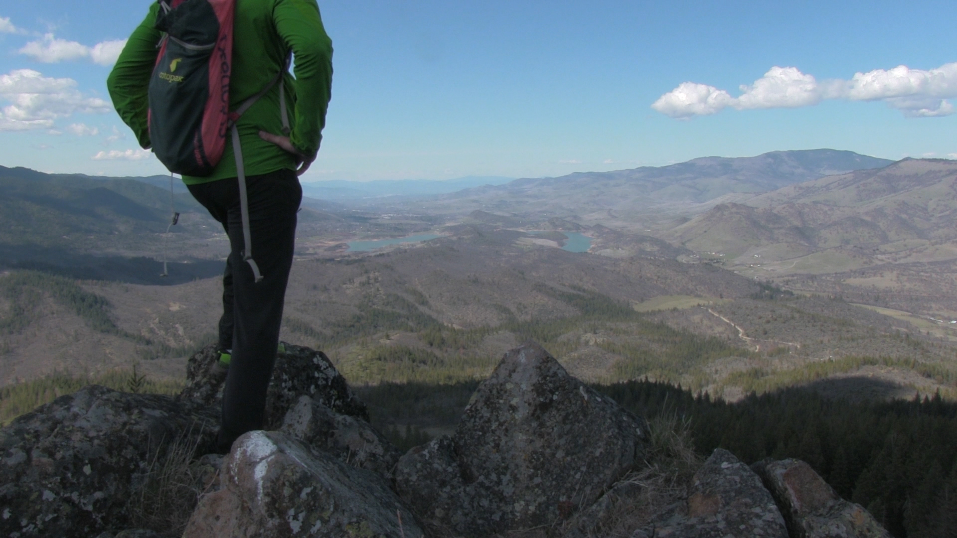
My recommendation is not to scramble through the high grass and along the bouldered ridge to the top. I got my first tick of the year here. And I am certain that in March, I rousted a few dens of snakes who were thinking, “if it were 80 degrees and May, me and my babies would be biting your face right now.” The 360 degree view including Emigrant Lake is amazing – take my word for it.