
Grouse Gap
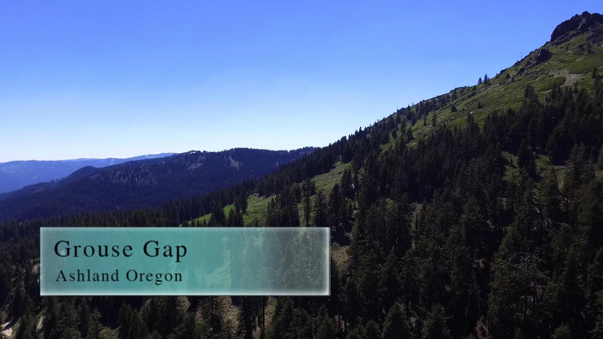
Grouse Gap is an area on Mt. Ashland accessible by this 5 mile trail loop. Right off the PCT and below the beginning of Timewarp.
Driving
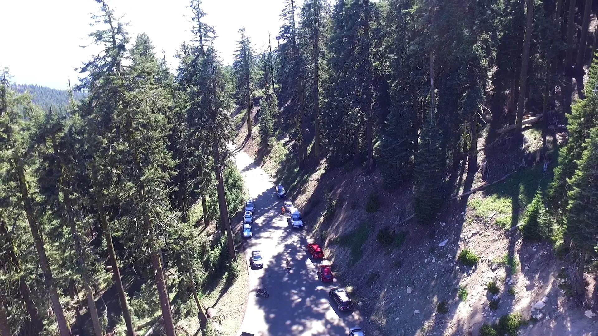
– It’s a 40 minute drive to the top of Mount Ashland and the beginning of the Grouse Gap adventure. Get on Interstate 5 any way you can and head towards California. Take the Mount Ashland exit and follow the signs. You will take a right turn soon after you exit the Interstate. That road winds all the way to the top of Mount Ashland and the ski area. Continue for a few hundred yards and you may reach a yellow gate where you’ll have to park and begin your hike.
In the summer, that gate is open! You can drive all the way on a gravel road to the Grouse Gap shelter, or Mt. Ashland peak. I’m not really sure how far you can drive on the dirt roads, but you can scoot around on the mountain for quite a bit if you have the right truck.
Parking
– There is an infinite amount of free parking! Depends on the season as to how close you can get to the trail you want to be on. And, depends on your car. The bigger your tires, the further you can drive and park.
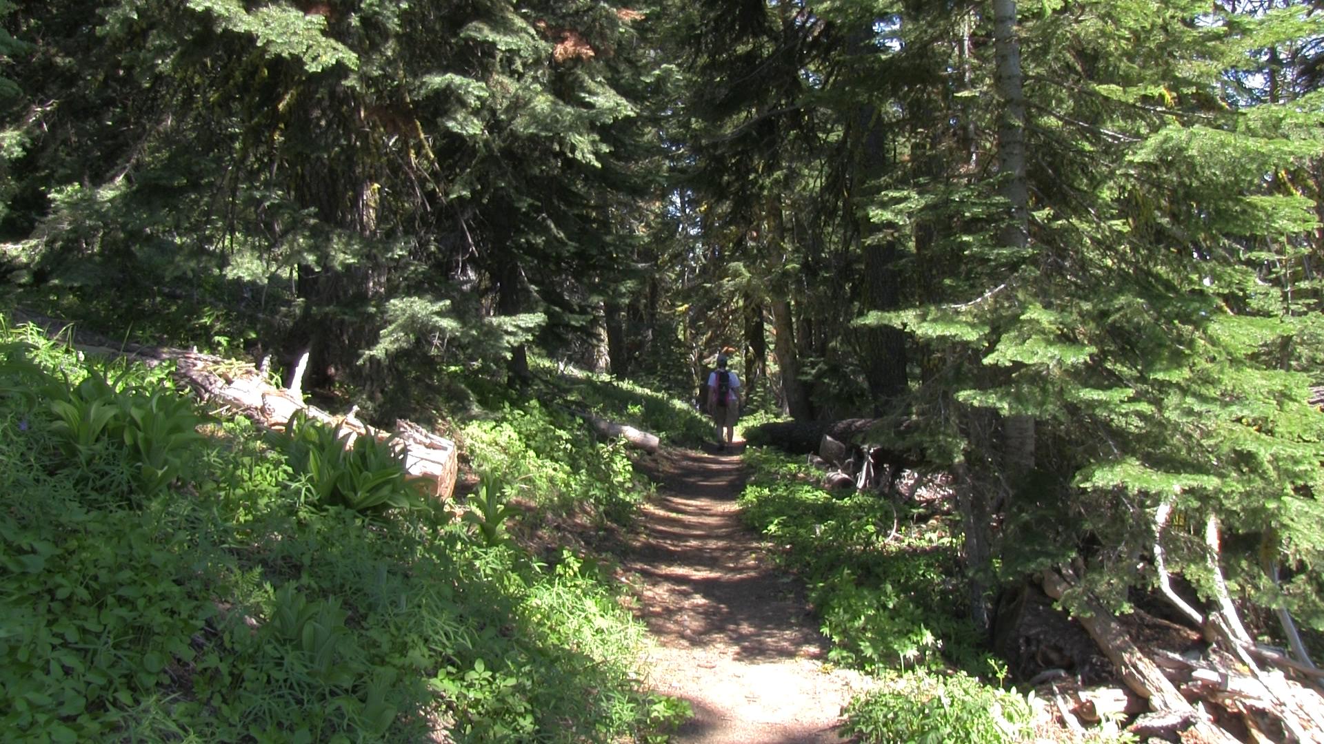
The Adventure
– Grouse Gap is more of a place than a trail, but stick with me and we’ll make it an event. First of all, just because you can drive there, doesn’t mean you have to. Let’s assume it is spring and the Forest Service hasn’t opened the gate yet, or it’s winter and we’re doing this all in snow shoes.
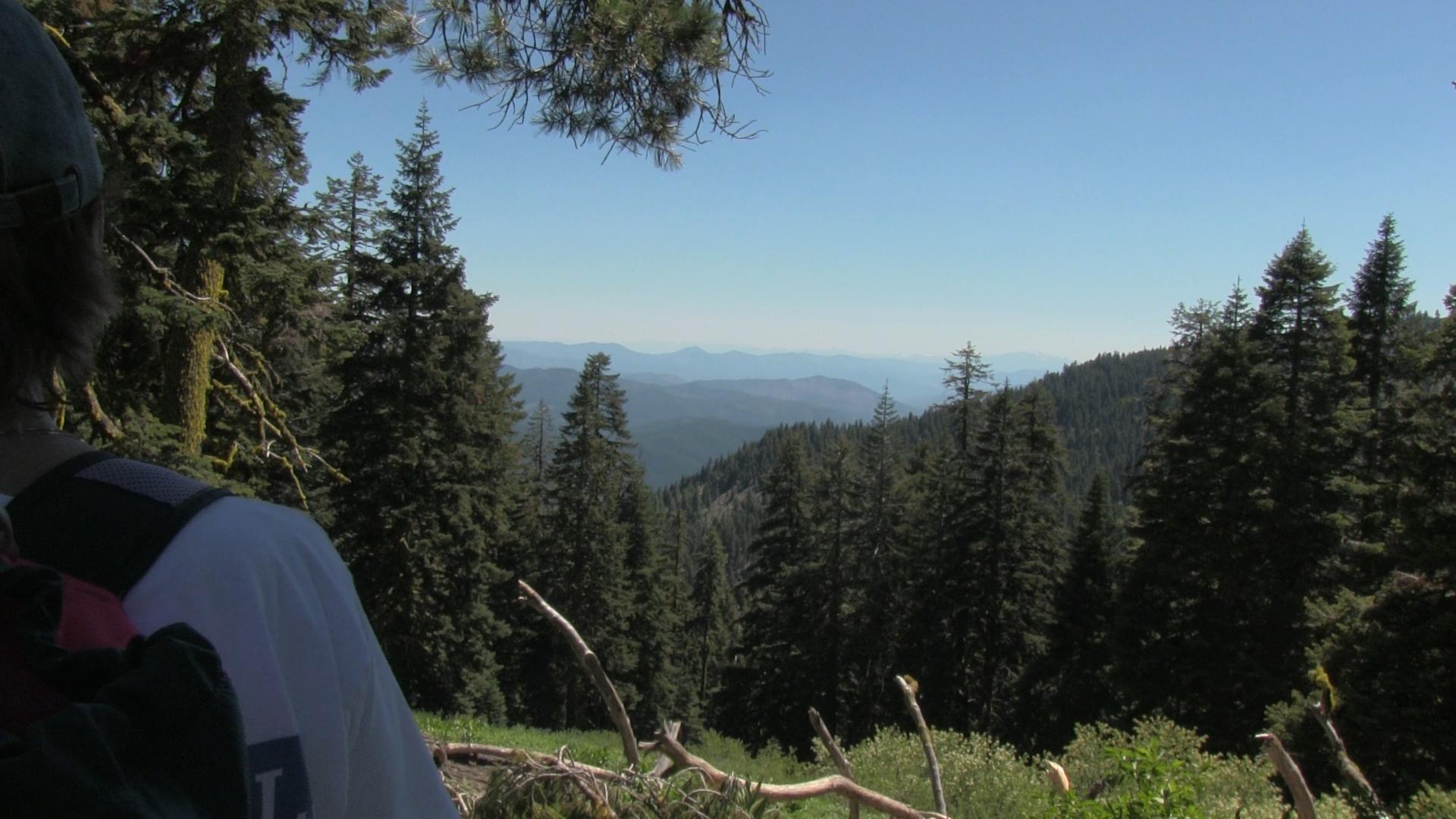
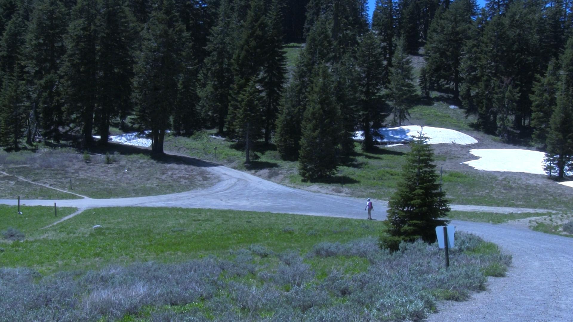
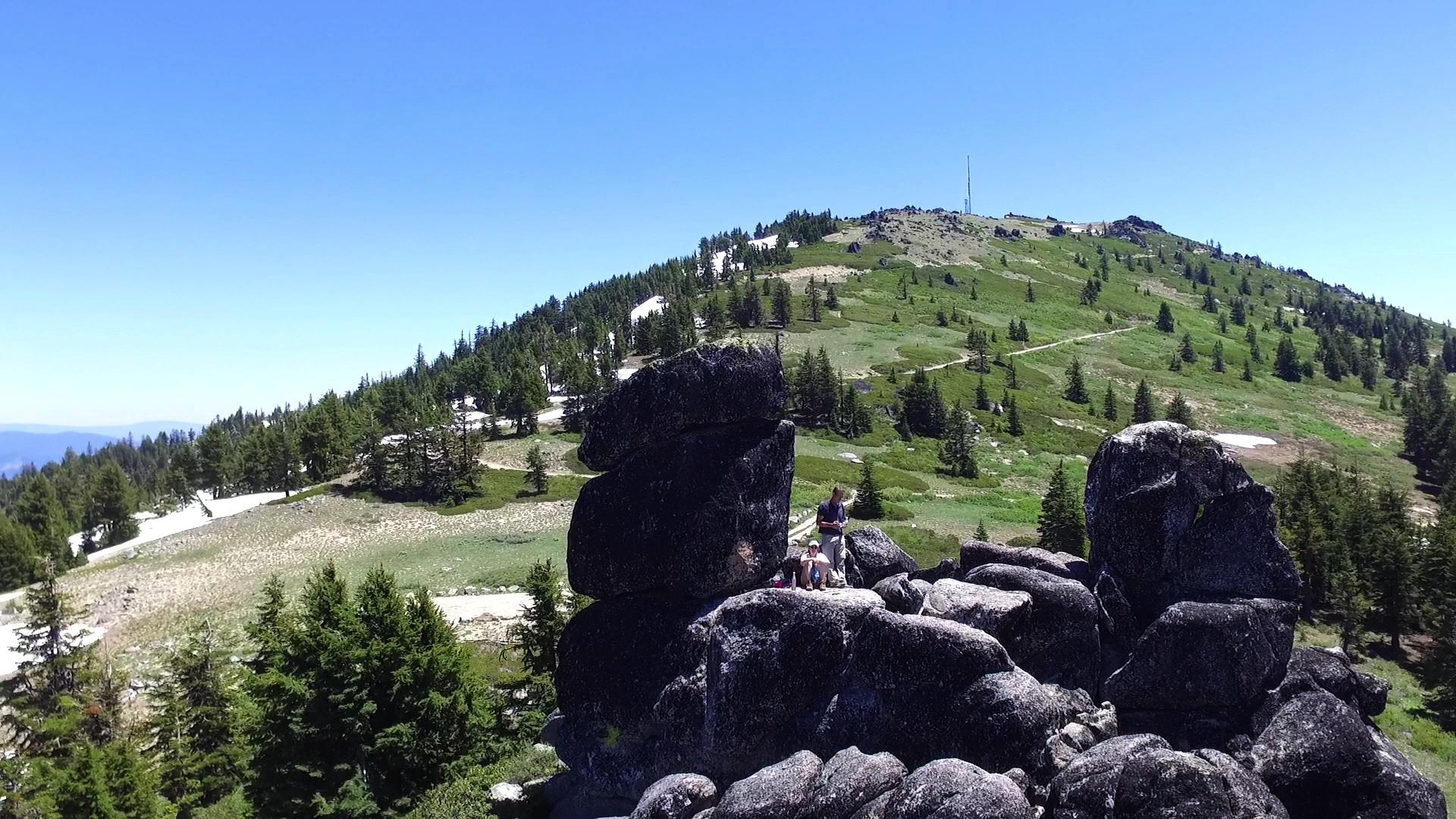
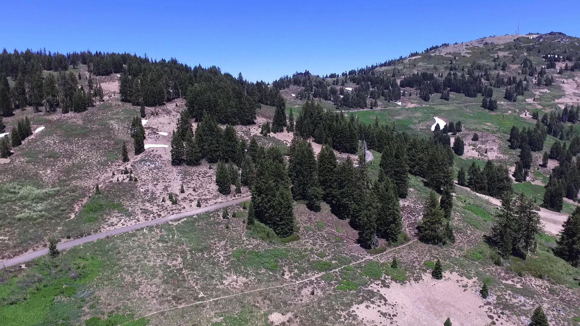
When the pavement ends, past the ski lodge on Mt. Ashland, stop and park. It’s a 2.5 mile hike along that dirt fire road to the Grouse Gap shelter. But, about a half mile in there is the free campsite. Free! Out house! No water! Remember that for later, but let’s move on. Less than 2 miles further on and a road splits to the right which goes to the tippity top top of Mt. Ashland. With the weather soccer ball and the top of the lifts. Take that road for just a quarter mile and there’s a cool rock. Bunny Ears rock or Devil Bear Ear Rock. A fun scramble and view and then back to the main road. Half a mile later you will turn left at the big intersection where you can see the PCT and the Grouse Gap shelter in the distance.
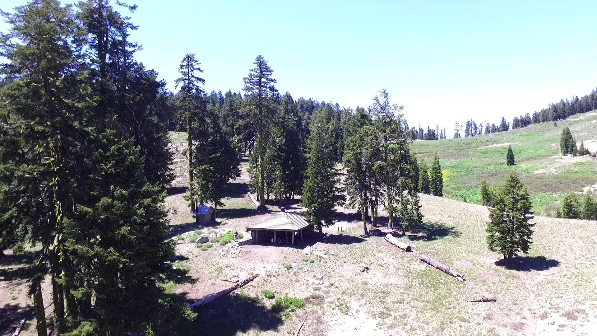
Go down to Grouse Gap and start a fire. There is a giant fire pit there, you could, but at the very least, eat a little picnic lunch.
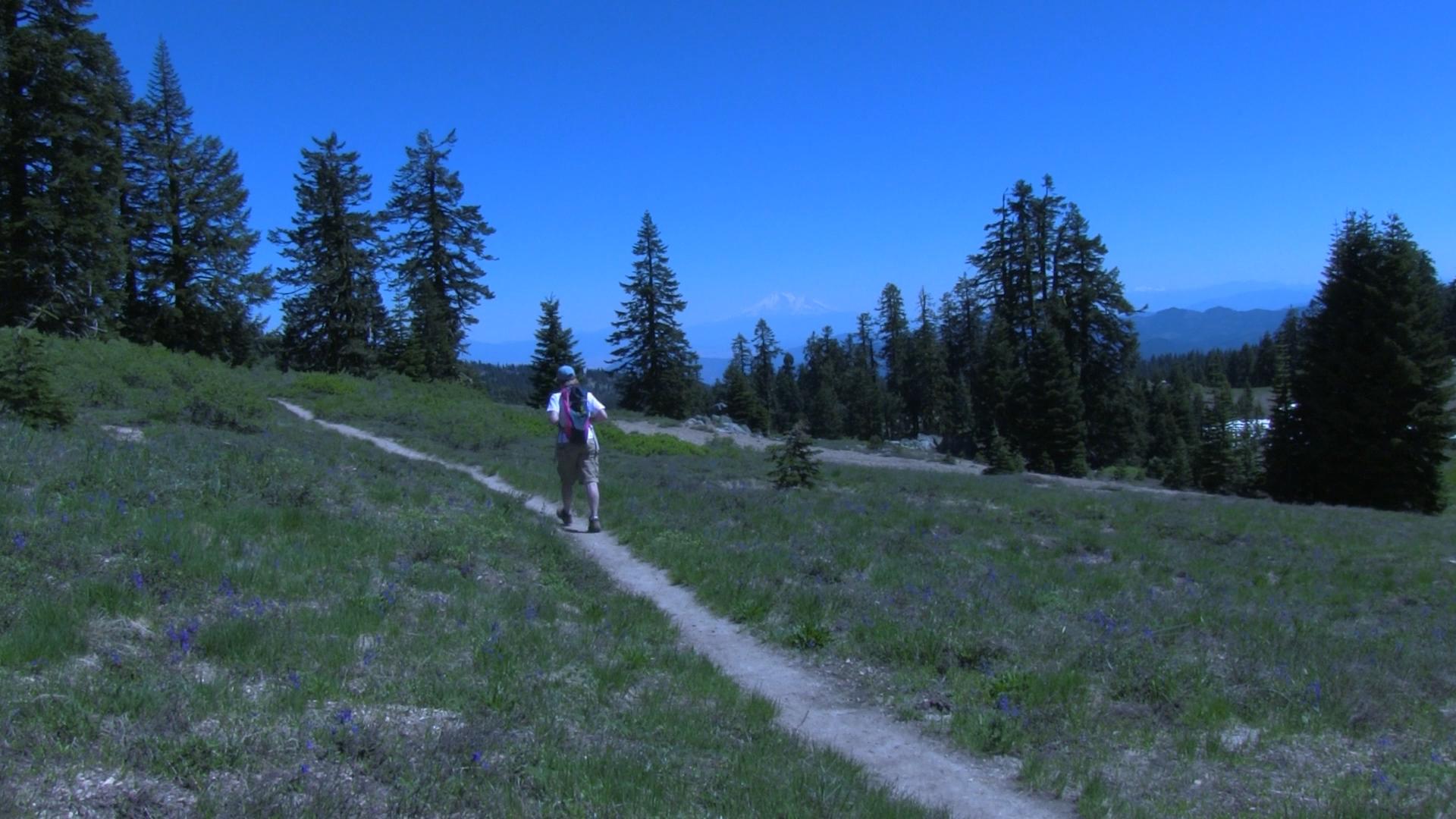
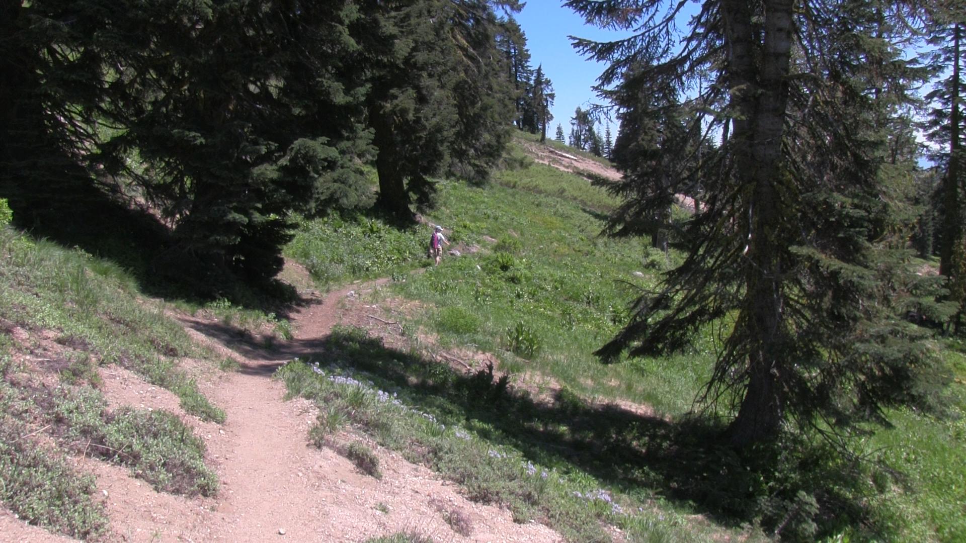
Now go back toward the main road and you’ll see the skinnier PCT. So take that back to your car. It is wet and flowery and then pine shaded. A great alpine trail that dumps out back on a main fire road that goes back to your car.
The PCT continues here for a short distance and intersects the main Mt. Ashland road so some people like to connect that way.
Pingback: Hiking, July 2022 – Into the Woods