
PCT: Porcupine Gap to Baldy Creek Road
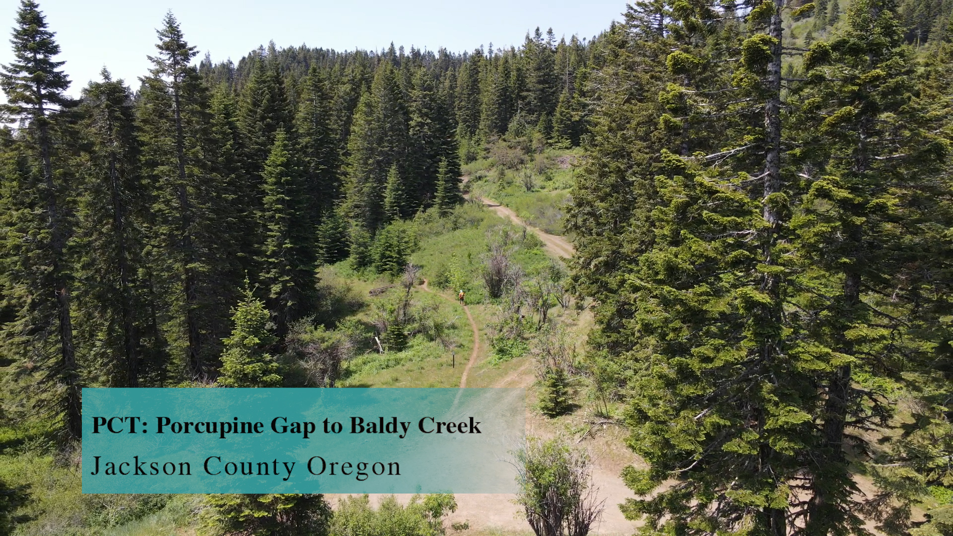

This section of the PCT from Porcupine Gap to Baldy Creek Road is 6 miles out and back with Porcupine Mountain and Boccard Point opportunities.
Driving
–This 35 minute drive is similar to a Pilot Rock drive. Get on Interstate 5 by any means necessary and head south towards California. Take the Mount Ashland exit #7 and continue forward at the end of the offramp. Continue straight past Mount Ashland Ski Road and under Interstate 5. In a couple miles the Cascade-Siskiyou sneaks up on you to the left. It also has a smaller Pilot Rock sign below it. Take that dirt road to the left. There are a couple private driveways that split off but pay attention and you should be fine.
After 2 miles of bumpy dirt road the main Pilot Rock trailhead parking lot appears to the right with it’s fancy new pit toilet and everything. Skip that today and continue down hill to your left. The dirt road continues for almost another 2 miles where it dead ends in a large turn around.
Parking
– There is so much room but no real obvious parking system. It’s more mud than gravel so try and park wisely and politely.
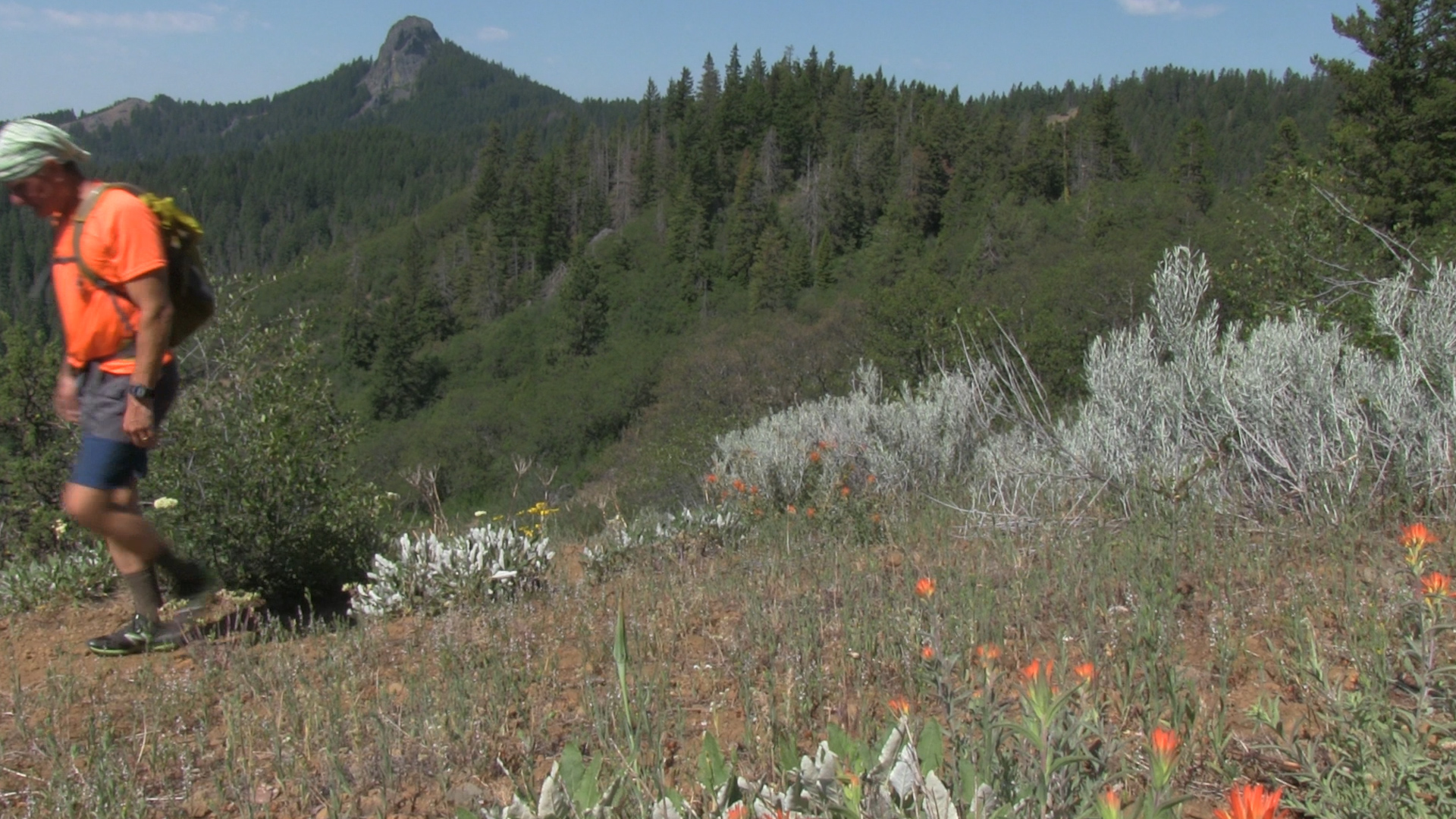
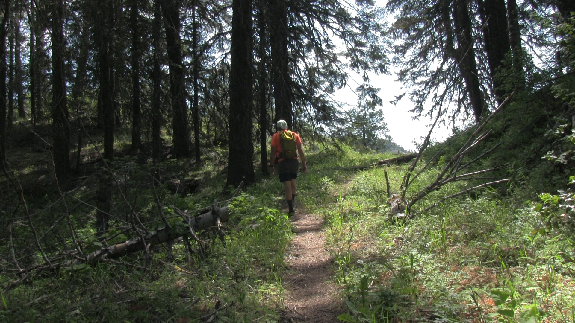
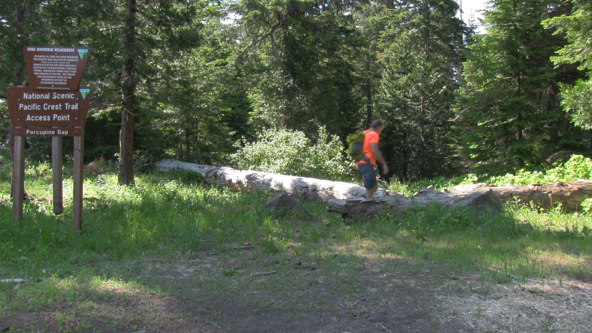
The Adventure
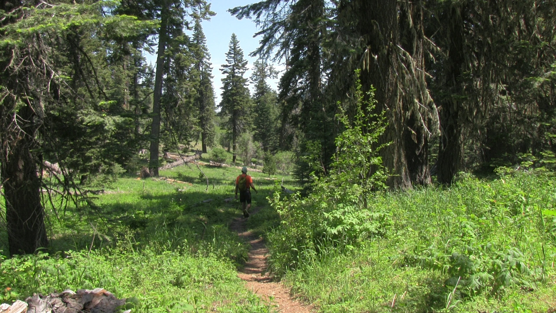
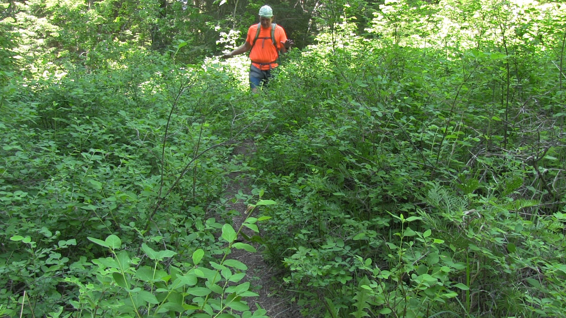
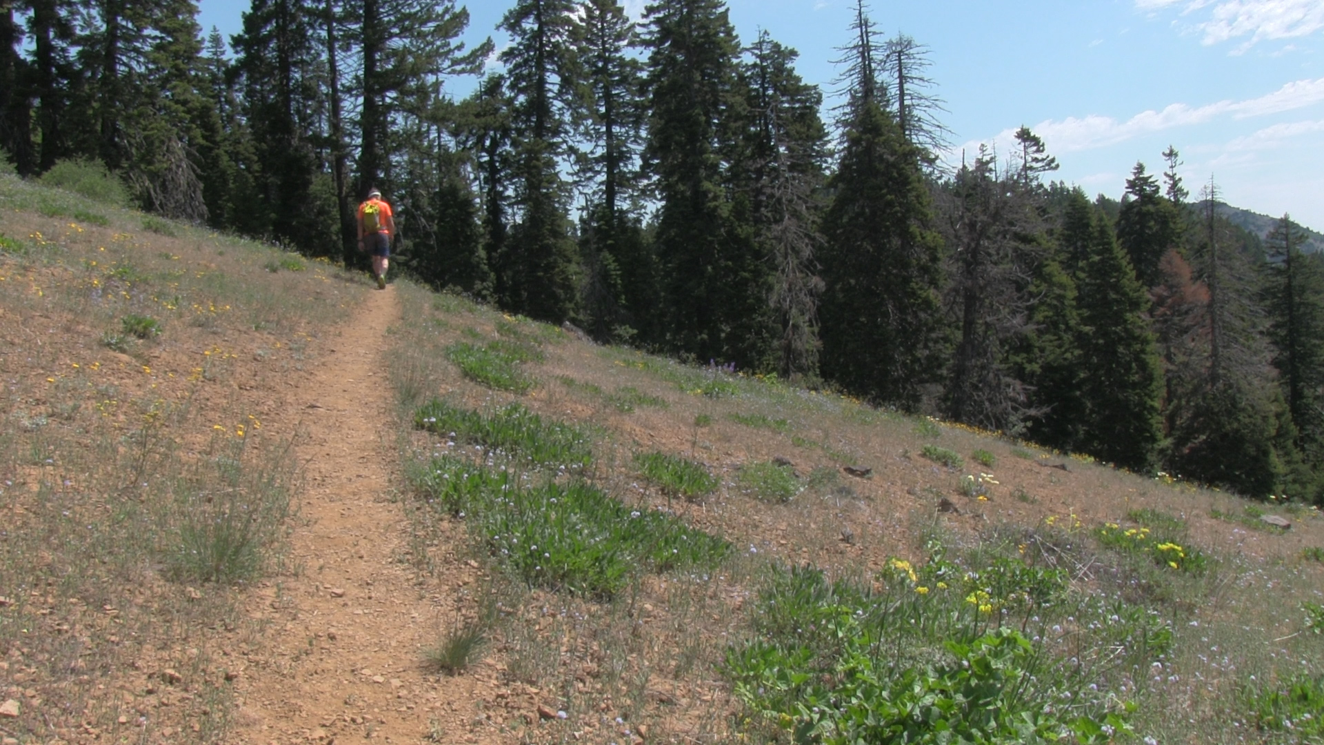
– 20 feet past the end of the dirt road cul-de-sac you will hit the PCT. Turn left and start strolling. It’s 3 miles of gentle up and down trail to the end of Baldy Creek Road. Partly shady, partly sunny, partly brushy, completely easy. Return to your car for a super chill 6 miles.
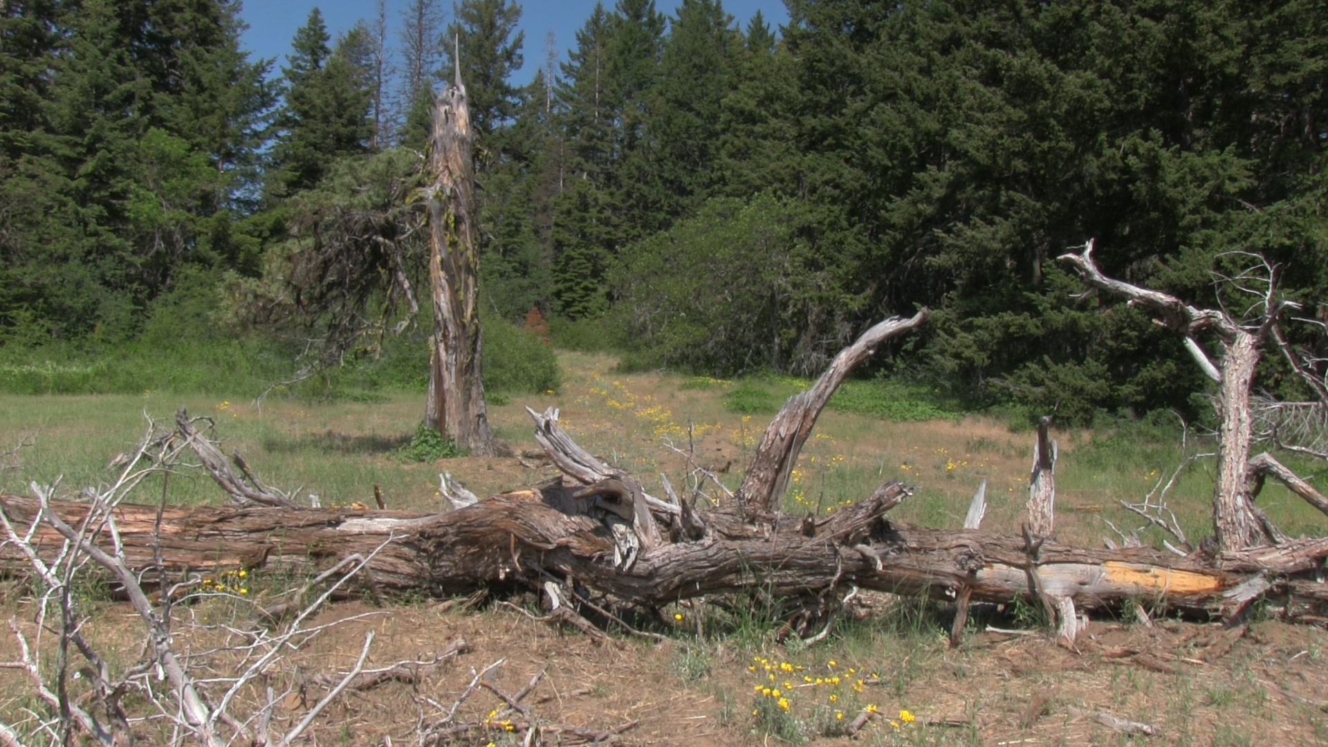
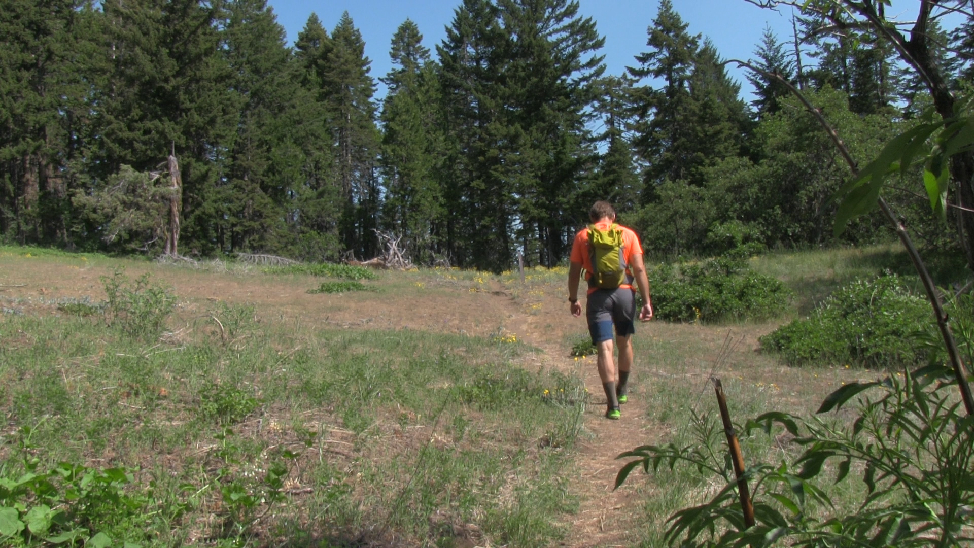
If you want to add a 1 mile side trail to the top of Porcupine Mountain look carefully to your left at the 3/4 mile mark. Look for an uphill clearing with a decommissioned jeep trail. There’s no sign or anything. That’s all I can tell you. Watch the video for more clues and good luck.
You will pass a sign for Pilot Loop Trail at the 2 mile mark but it gets super brushy super quick so skip that – it’s for weirdoes. I f you need more trail you can add a 4 mile out and back up to Boccard Point from the Baldy Creek parking area.