
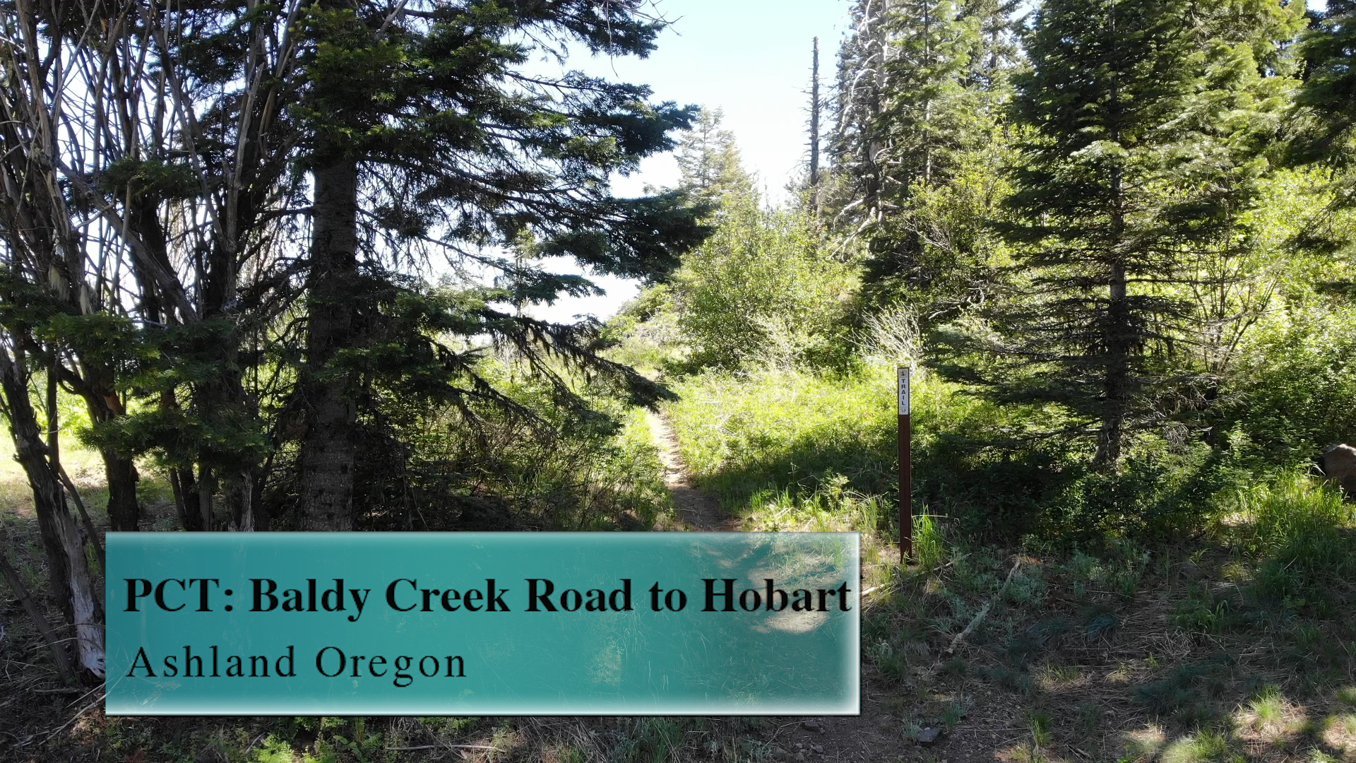
PCT: Baldy Creek Road to Hobart
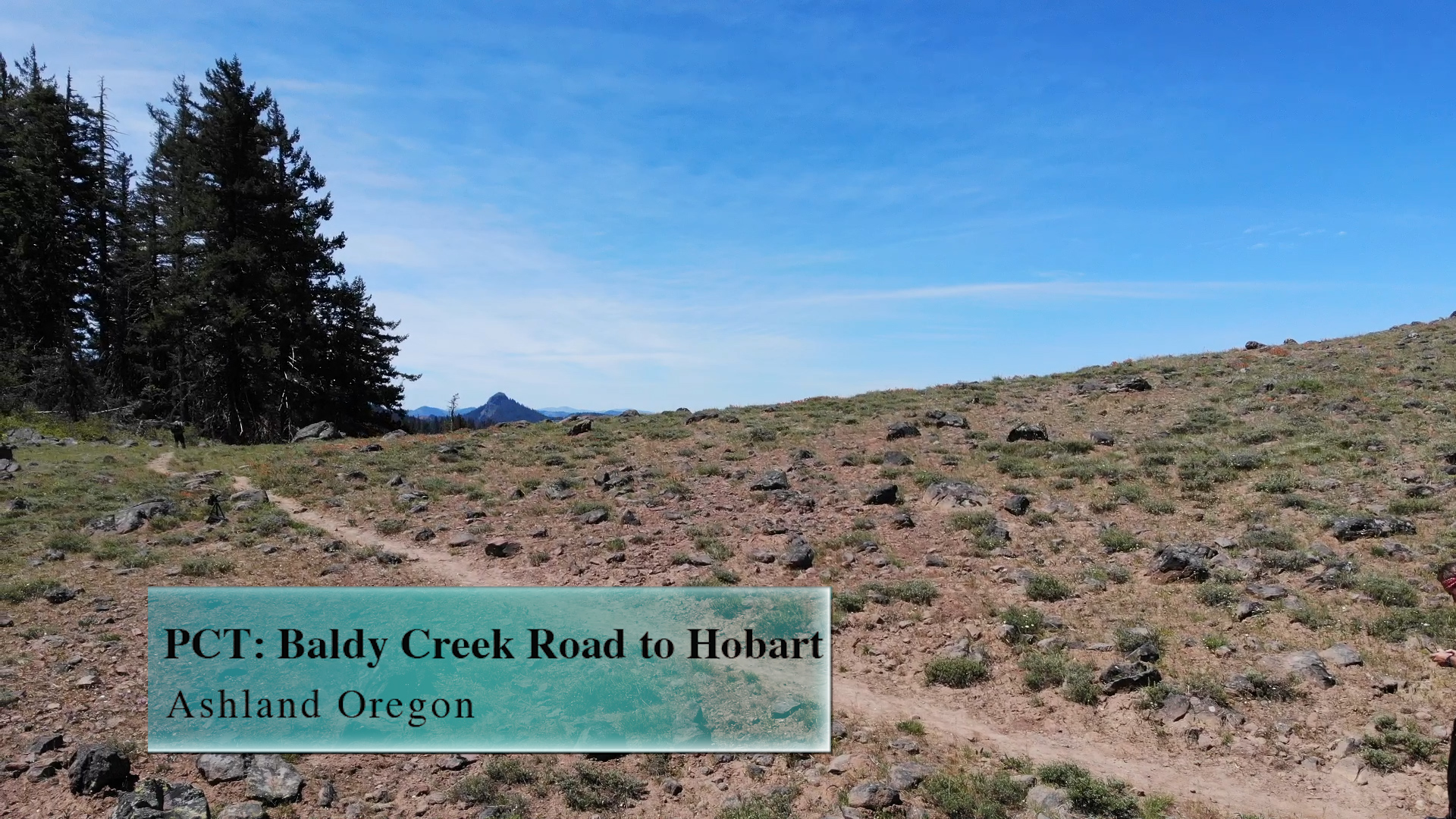
The Baldy Creek Road to Hobart section of the PCT is a moderate, rolling 6 mile out-and-back that is delightful and… nothing else really to say about it.
Driving
– It is a 55 minute drive from Ashland Plaza. You can head south out of town towards the University. Turn left on Ashland street and head towards Interstate 5. Cross over the interstate and you will swoop to your right and pass Dead Indian Memorial Road and the golf course. Pass Emigrant Lake on your left and leave the lake in your rearview mirror. As you are about to head uphill on Green Springs Highway look to your right and take Buckhorn Springs road. That pavement ends quickly but the dirt road it turns into is the best in the business. Wide and smooth. After you pass the mini-powerplant on your right the road forks so take the left fork uphill. This is Tyler Creek Road and it is still wide and smooth. 3 miles further along and you will turn right on Baldy Creek Road.
This is not wide nor is it smooth. The next 6 miles is either exciting or nerve-racking depending upon what kind of person you are and what kind of car you are in. You’ll be moving slow so plan on up to 30 minutes on just this section. The road ends at a split where it looks like you could continue forward, but a sign claims that there is “no turn around ahead.” The sign is right! A few hundred yards further the single lane road stops. Thats a long way to back out! Instead, pull to the left.
Parking
– Another messy, non-obvious dirt area where you can park perpendicular or parallel. If everyone is smart and cool you could get 12 cars here easily, but if one knucklehead parks his GMC dually at the wrong angle we are down to 3 spots.
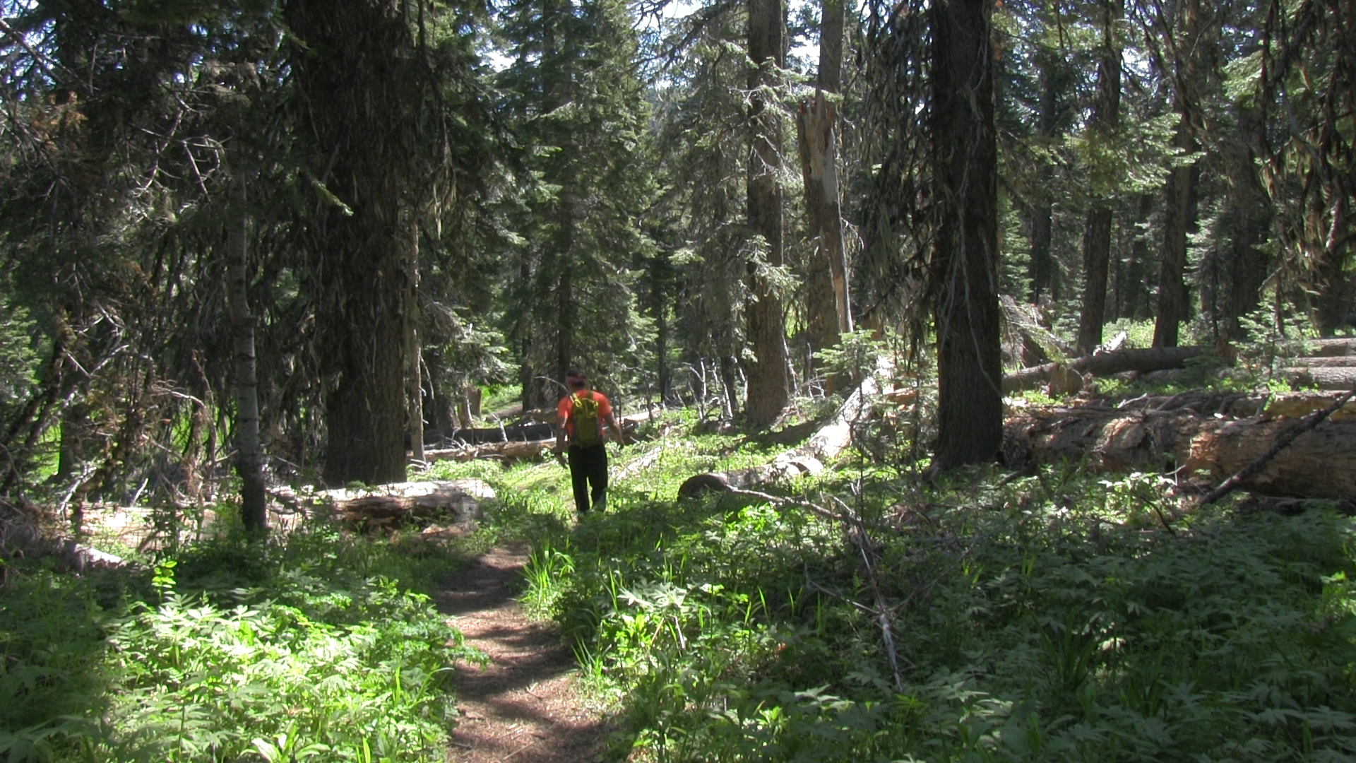
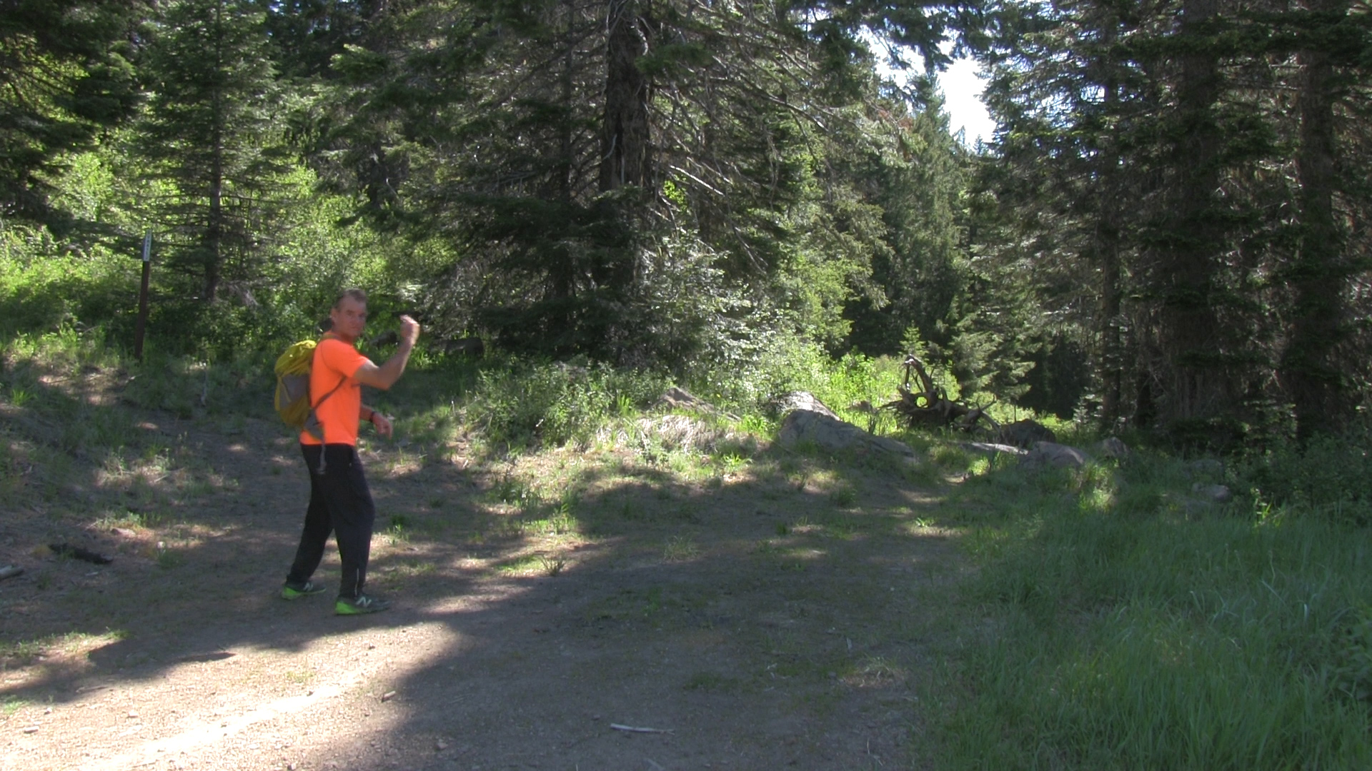
The Adventure
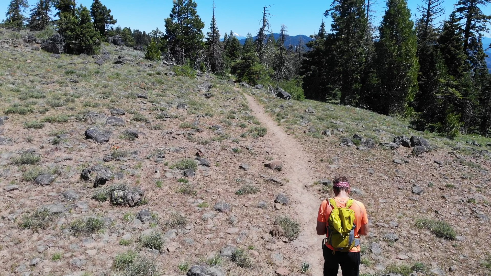
– The PCT cuts right through the middle of the parking area. It comes in from Pilot Rock to your right, and heads back parallel to the road you drove in on to your left. Take the trail uphill to your left.
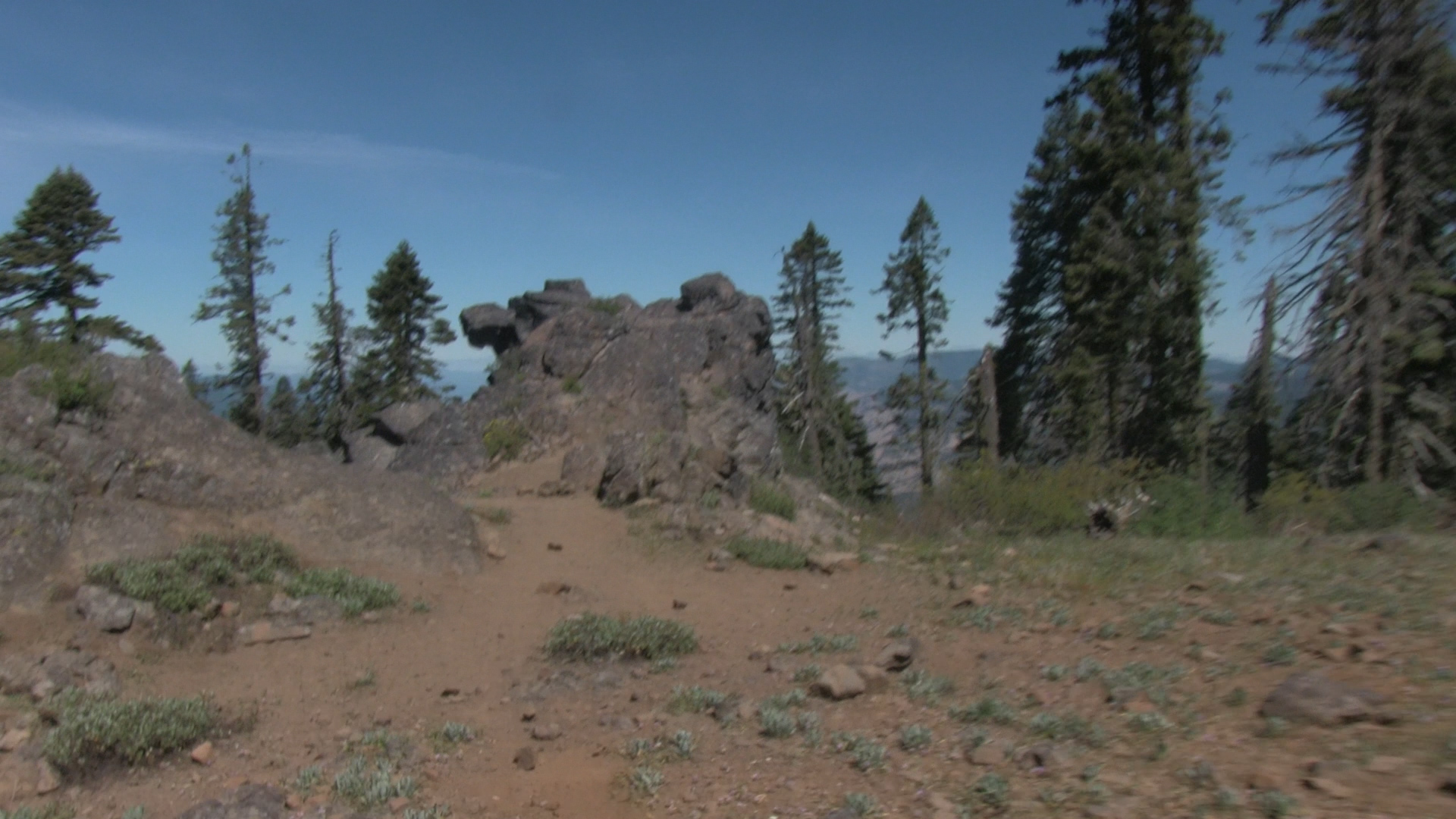
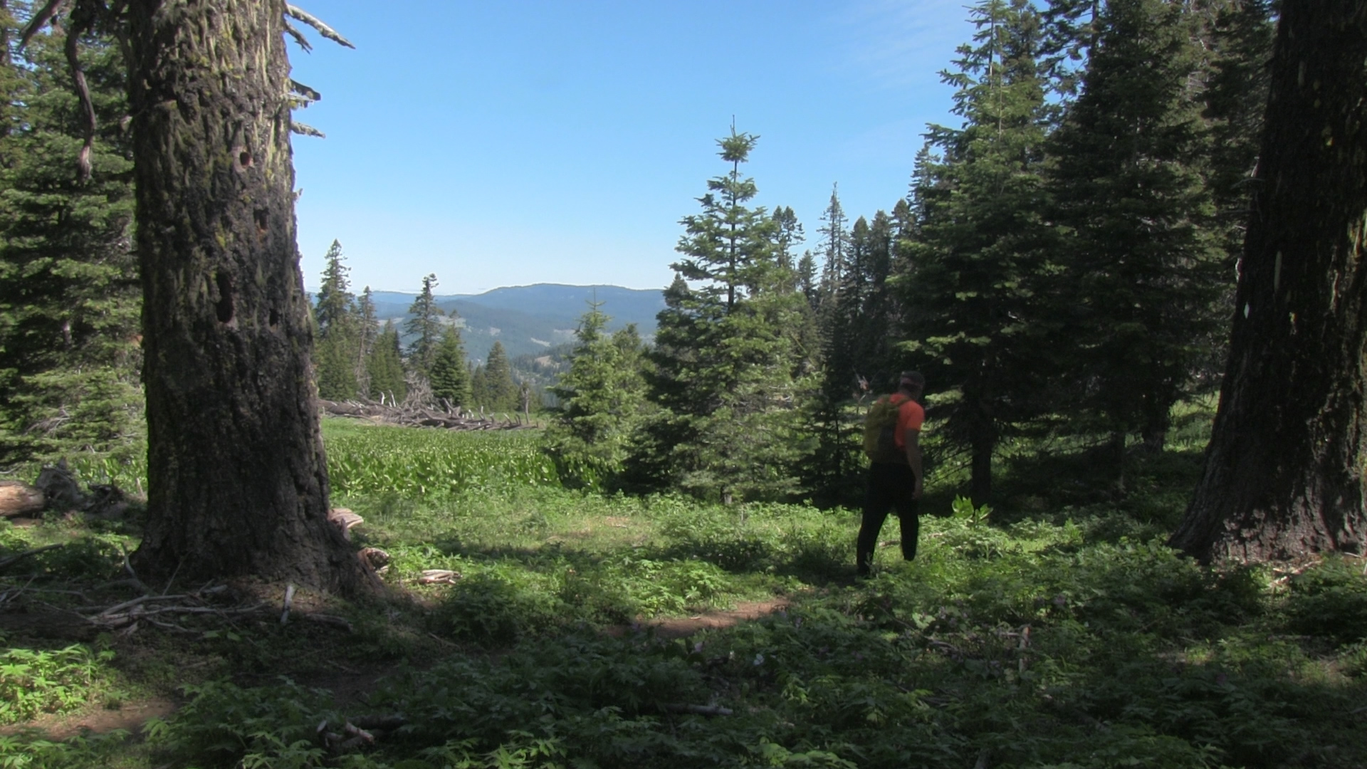
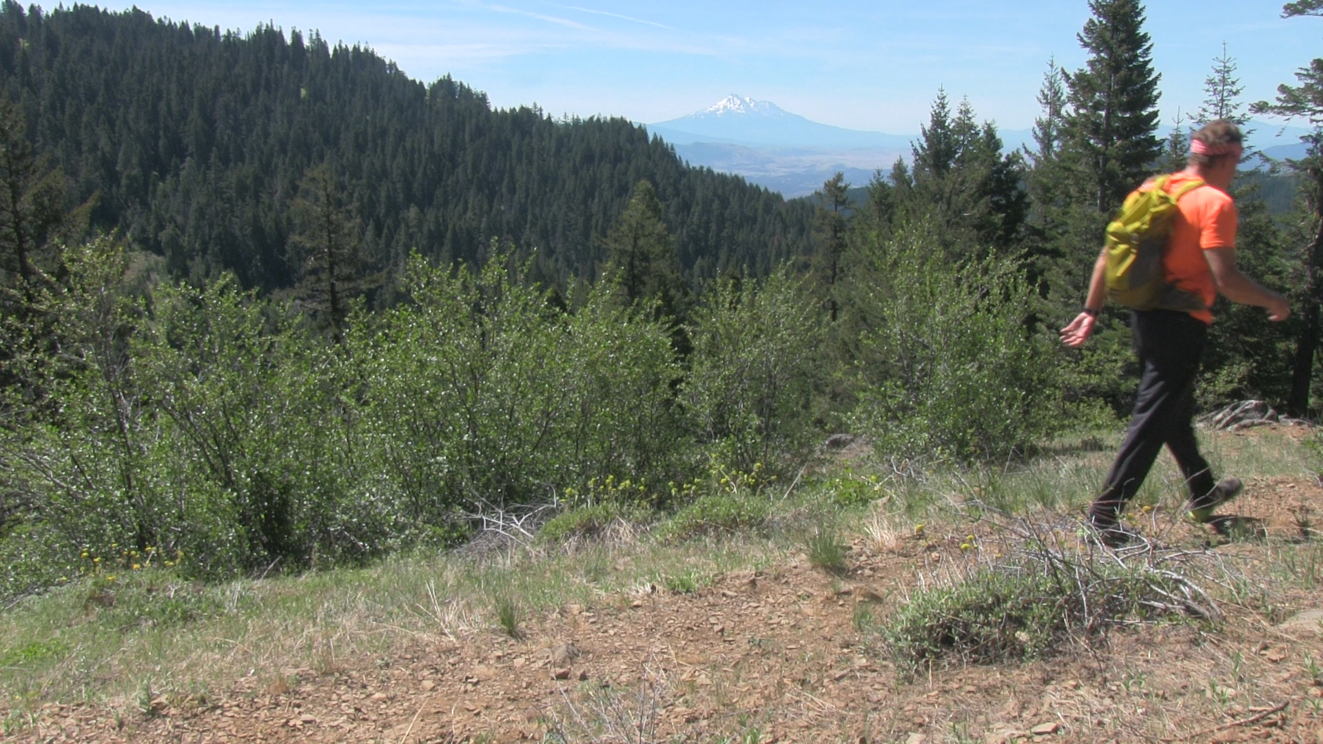
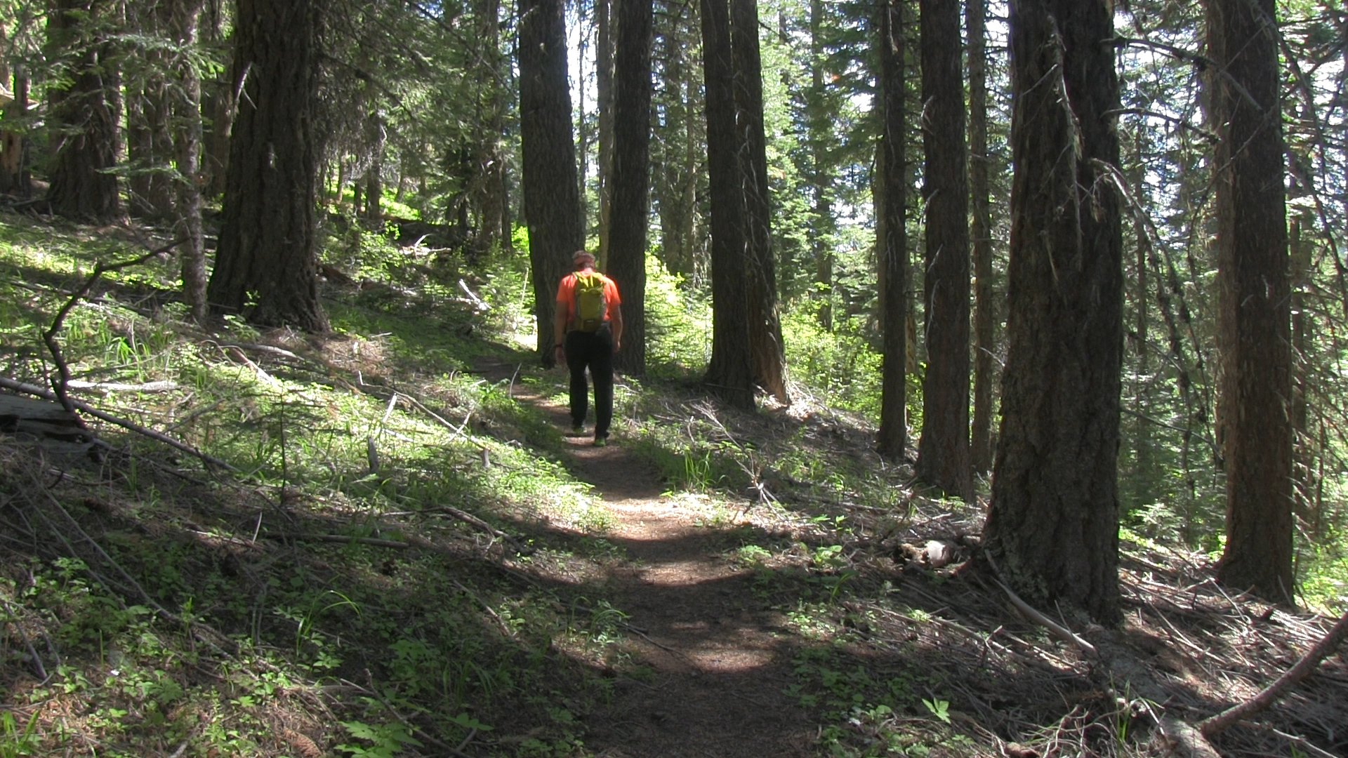
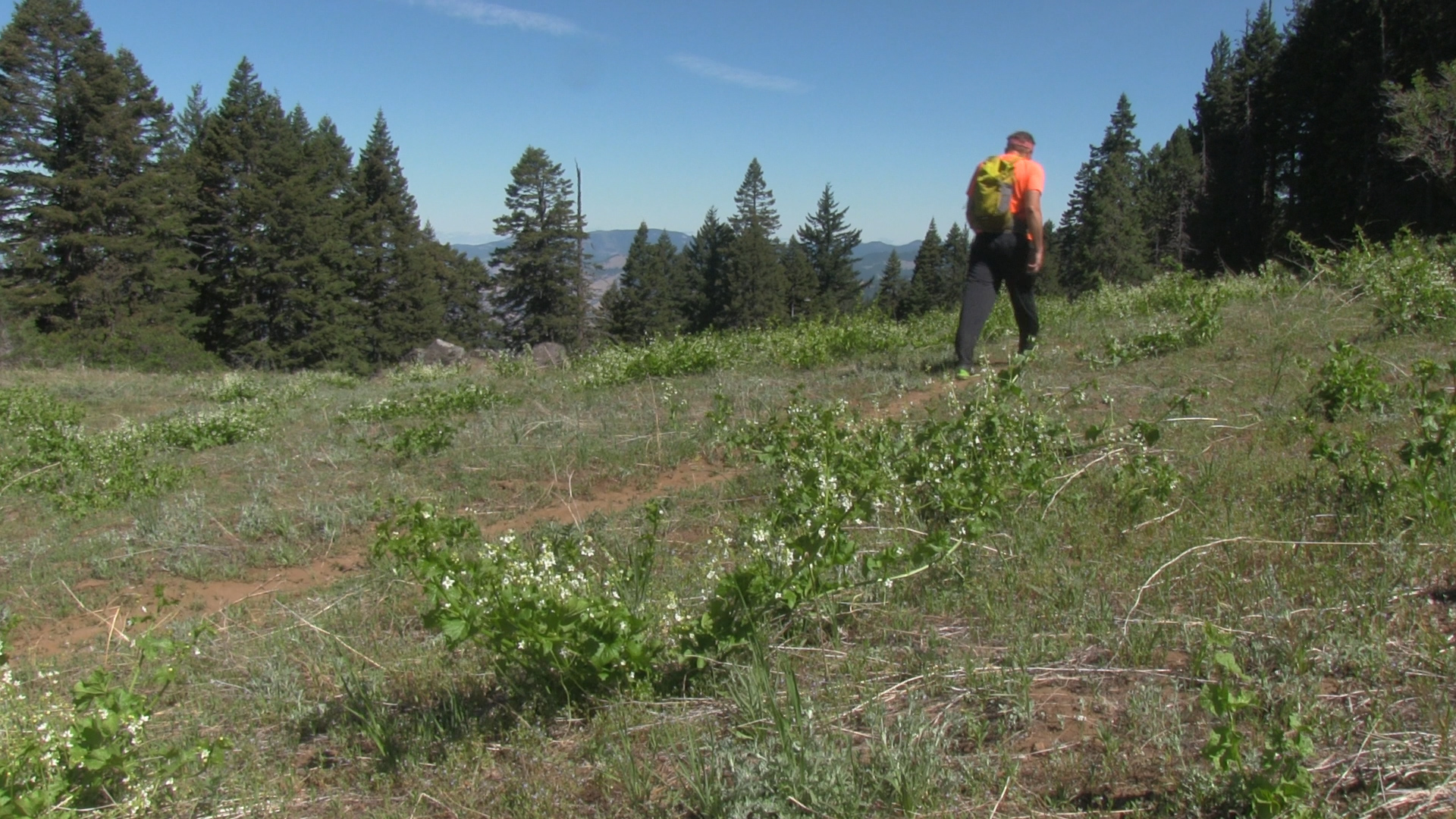
This moderate section of the PCT pops between shaded mountain pines and open hillside fields with dramatic views. Just before you get to the 2 mile point, there is a groovy little rock viewpoint that may, or may not be called Little Pilot Rock. A 1/2 mile later there is a fork in the trail where the right fork splits up to the top of Soda Mountain and the left fork continues on the PCT over to Hobart Bluff. Take that, keep walking, and boom – you’ve reached the crowded parking lot and fancy pit toilets of the Hobart Bluff trailhead. The Bluff is a short 1 1/2 miles further on if you’d like but for now – back we go to finish up our 6 mile out-and-back.