
Split Rock Trail
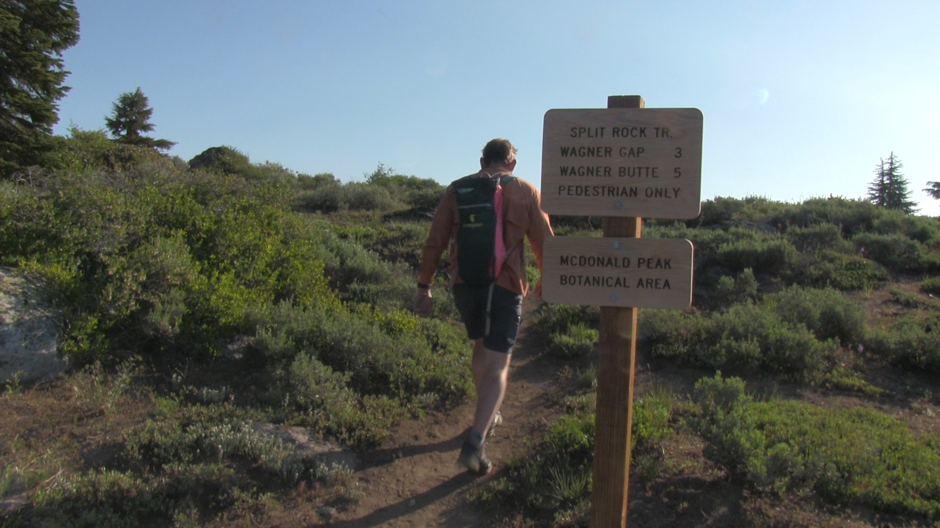
Split Rock Trail is a 6 mile, high altitude, out and back near Mount Ashland.
Driving
It’s a 50 minute drive to the top of the Split Rock Trail. Get on Interstate 5 any way you can and head towards California. Take the Mount Ashland exit and follow the signs. You will take a right turn soon after you exit the Interstate. That road winds all the way to the top of Mount Ashland and the ski area. Continue for a few hundred yards and the pavement ends, and Forest Service dirt road begins.
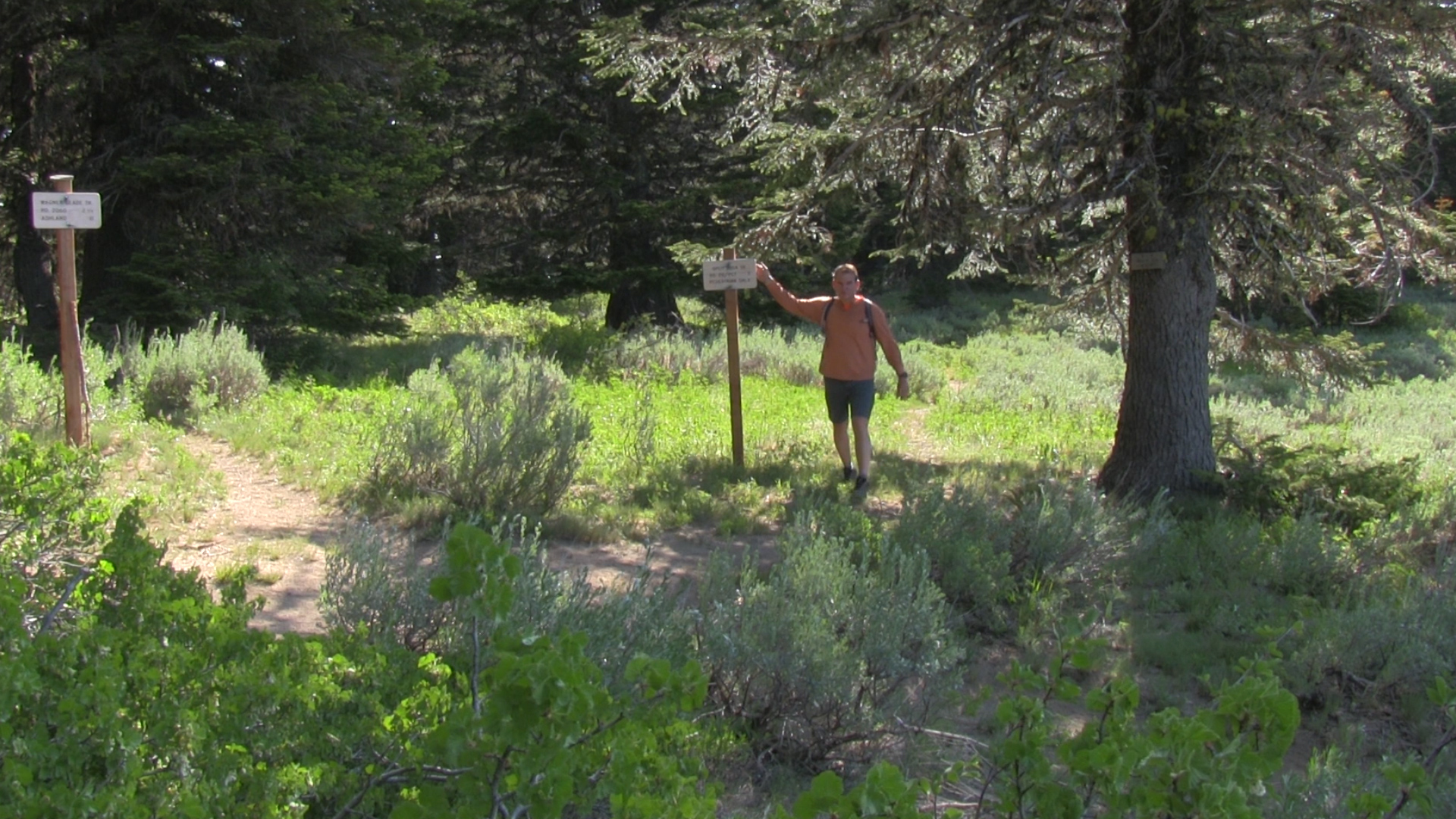
In the summer, that gate is open! You can drive all the way on the dirt road to the Grouse Gap shelter.That’s a popular parking spot for the PCT, but continue straight back uphill at the Grouse Gap intersection. 1 mile later, you will see a 1 car pullout to your right and a Split Rock trail head sign.
Parking
Be groovy and park to the right. It’s not perfect, but 5 or 6 groovy people can park here. Or – 1 jerk.
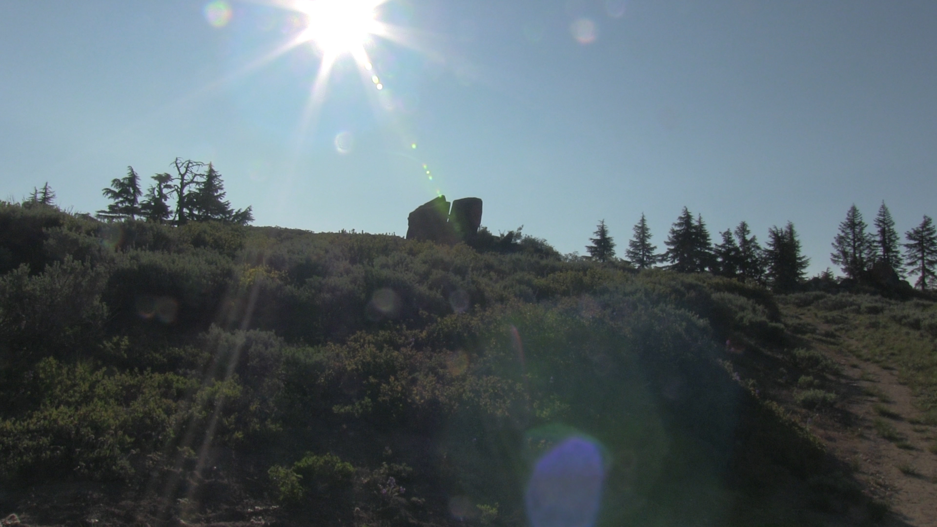
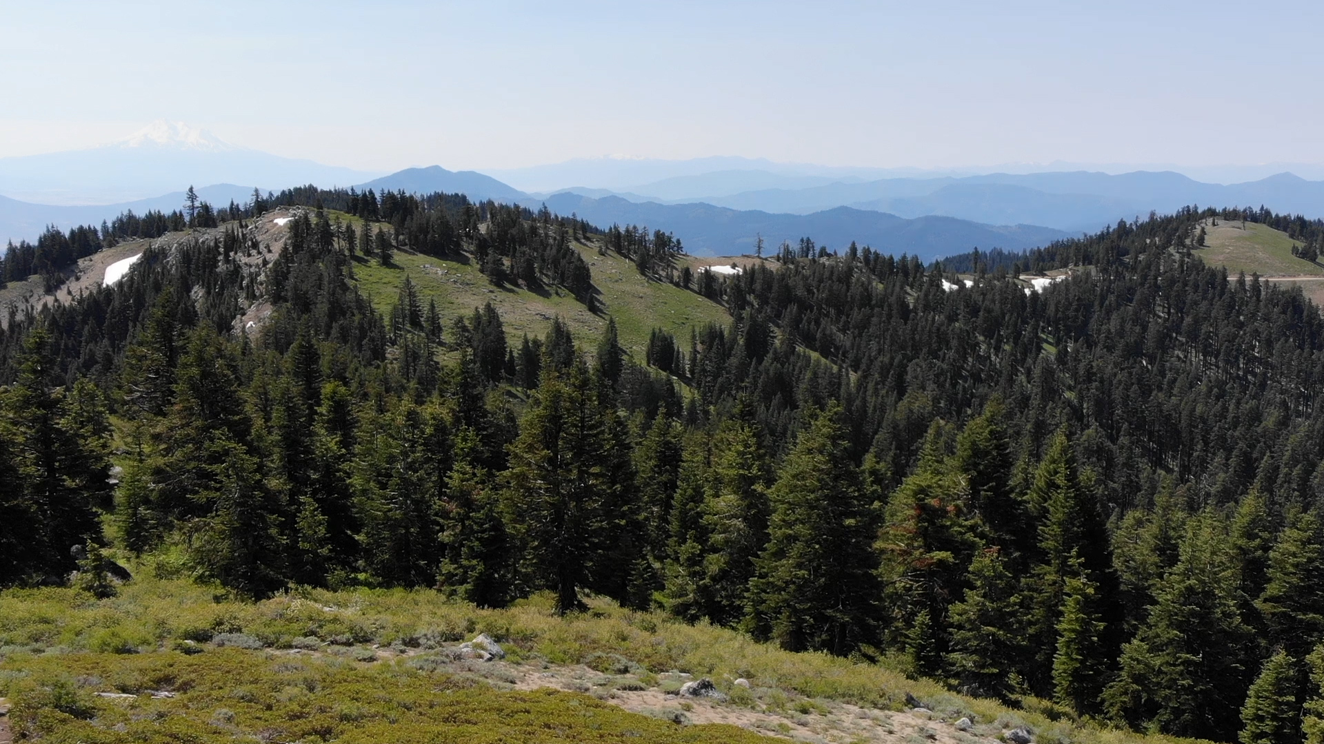
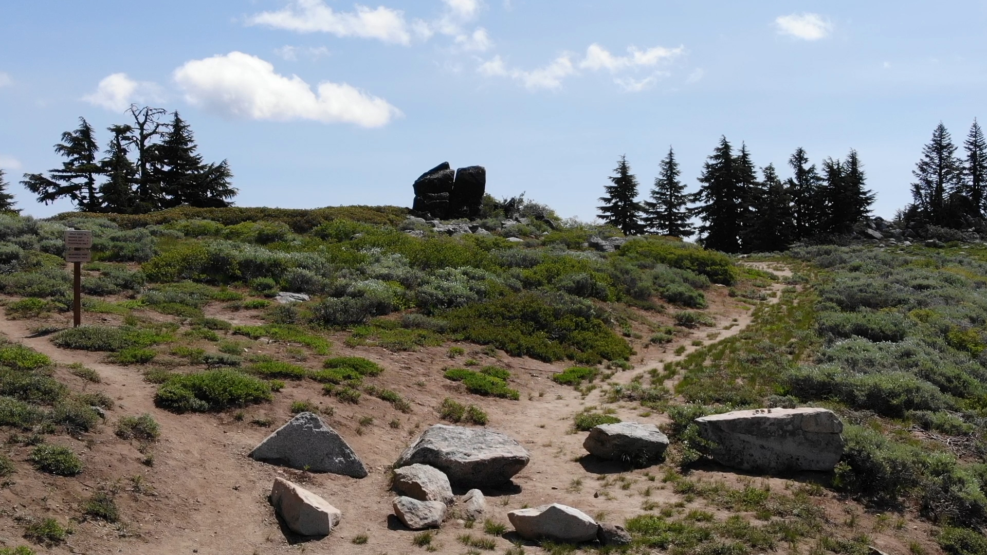
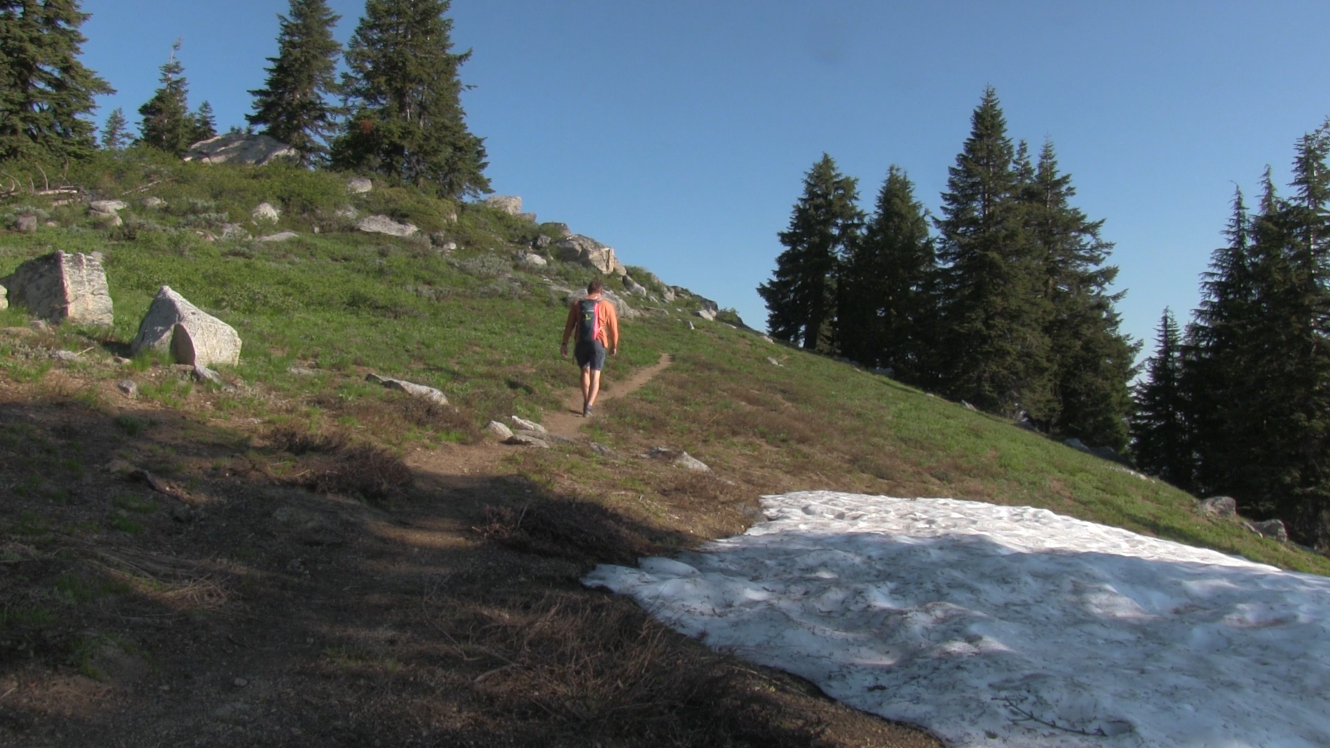
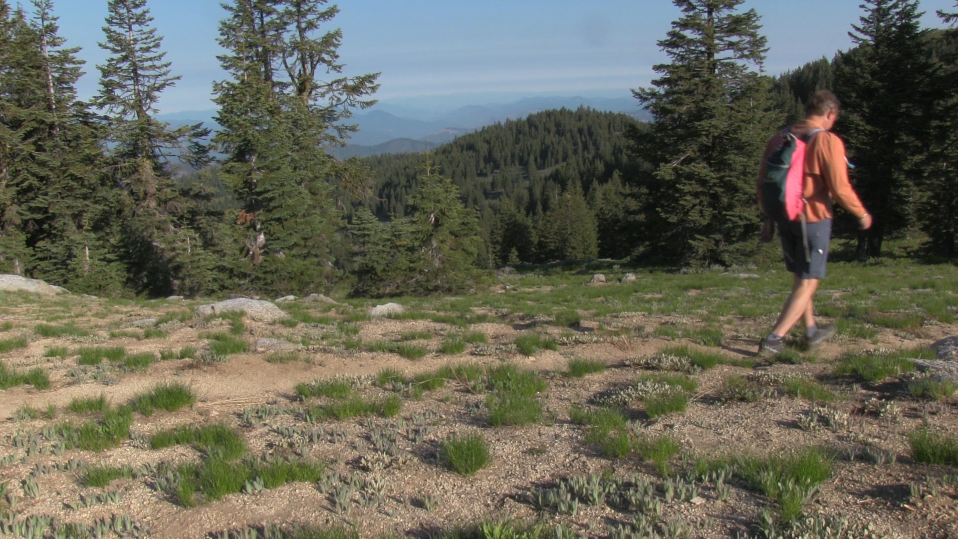
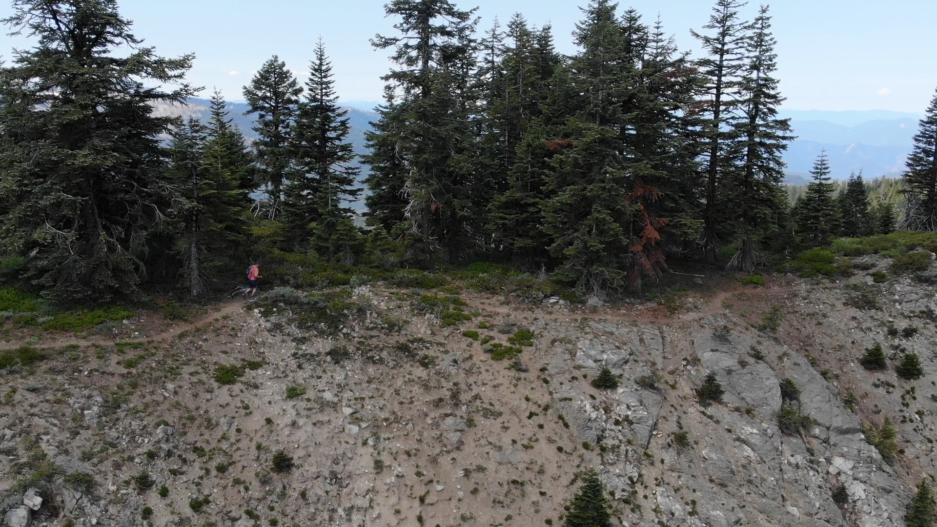
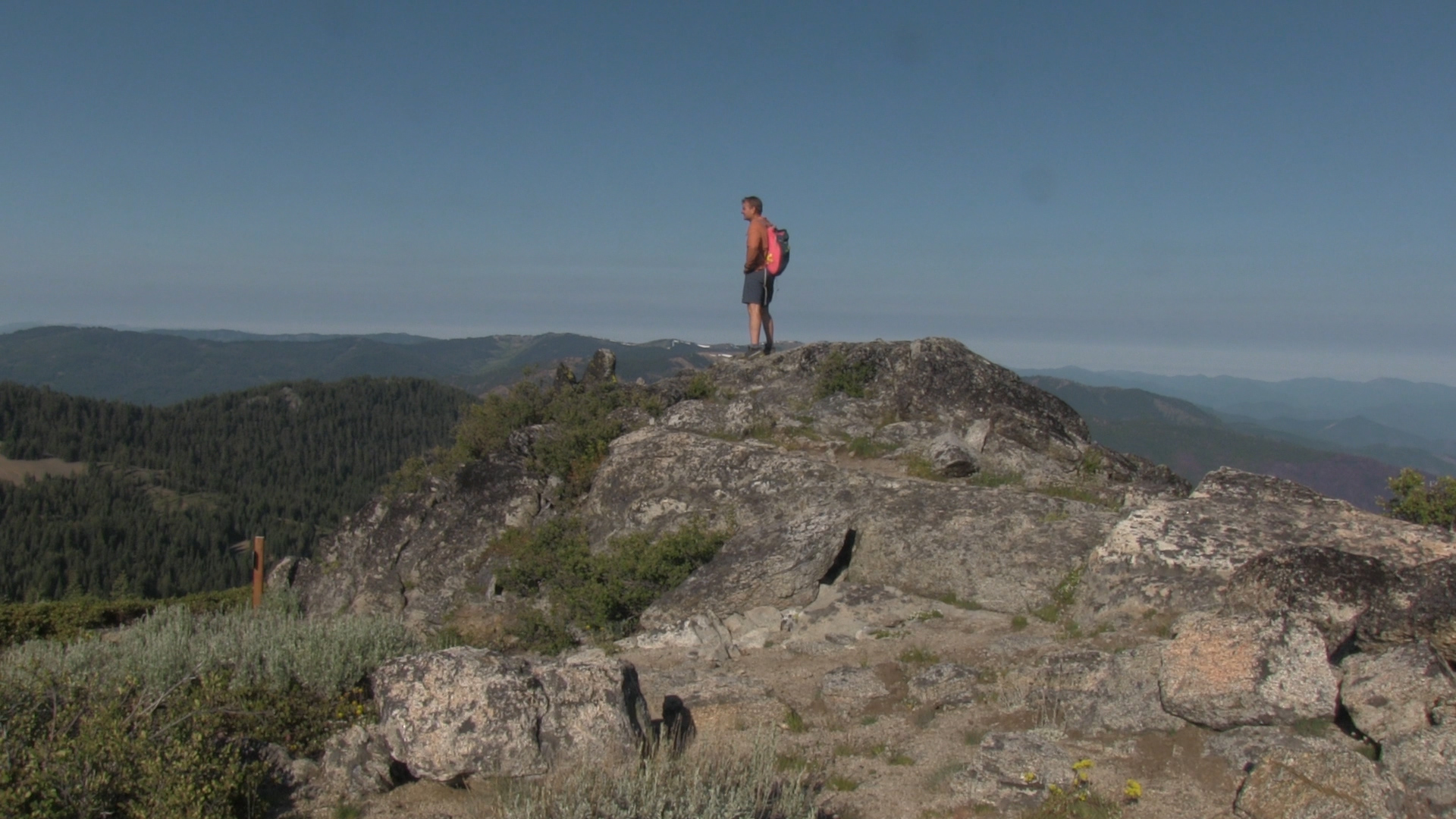
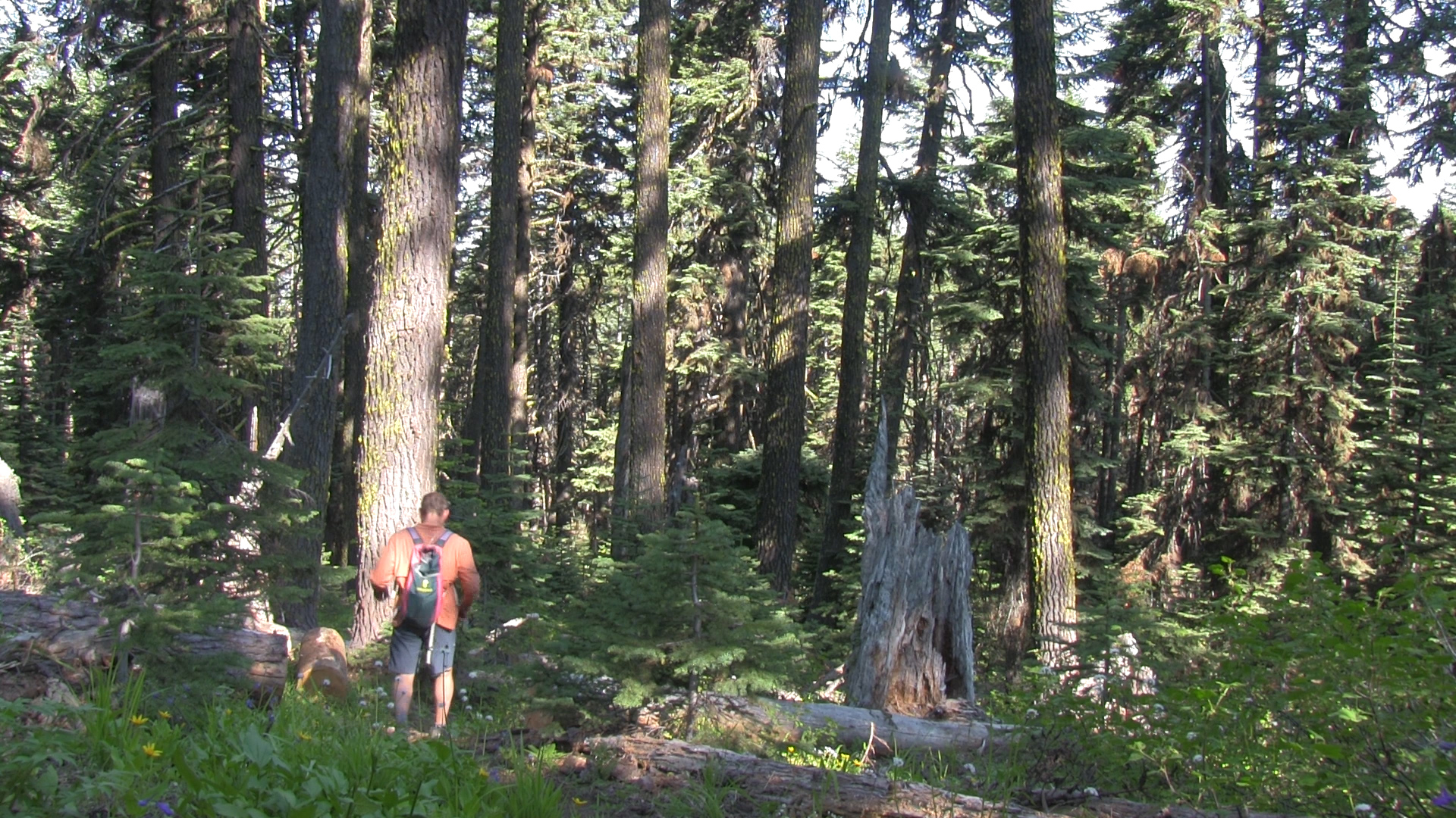
The Adventure
It’s a pretty obvious, fantastic, downhill mountain trail along the ridge top for the first 1.5 miles, and then a pretty obvious, fantastic, downhill forest trail for the next 1.5 miles. In the middle, there is some rock scrambling with stacked rock cairns to guide you, but that just makes it more awesome… right? At 3 miles you hit the Wagner Glade/ Wagner Butte intersection. If your pants are full of ants and you’re feeling like a US Marine, keep going for 2 miles to the summit of Wagner Butte. Otherwise, just turn around. It is the same 3 miles, but all uphill back to your car, just to remind you… uphill is harder than downhill.