
Mountain of the Rogue (Hiking)
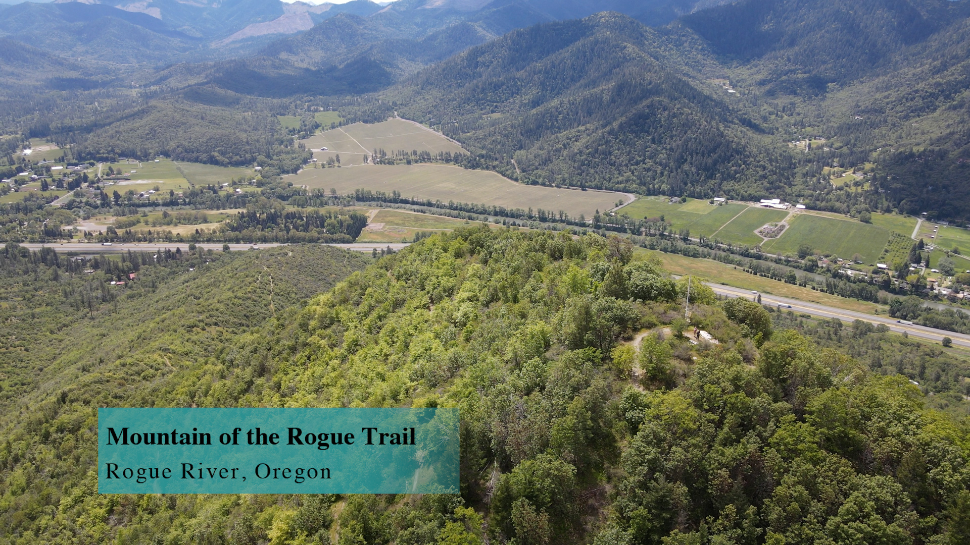
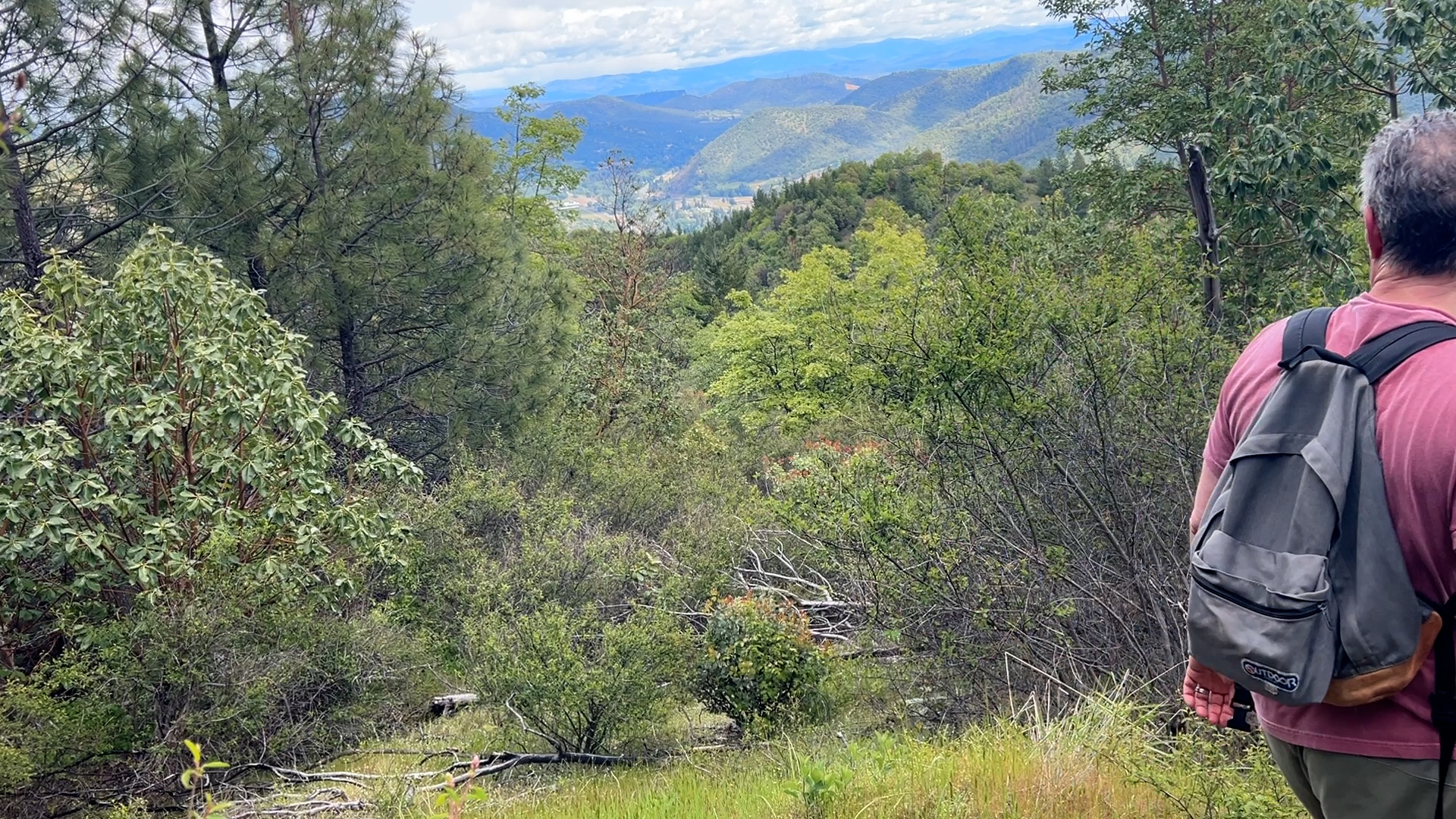
The Mountain of the Rogue Trail system is mostly for mountain bikers with over 10 miles of trails. This hiking route up and down the middle of this system is 5.5 miles out and back. You can hear the freeway and feel the sun most of the time.
Driving
– It’s a 35 minute drive from Ashland. About 30 miles – mostly freeway. Start towards Grants Pass (unless you are already there then, head south towards the equator) and use exit 45B towards Valley of the Rogue Park. But don’t go there! From the northbound off ramp you will hit Twin Bridges Road where you will turn left and then dead end into River Road where you will turn left again. Less than 2 miles on this and you will see a paved, well signed, Mountain of the Rogue parking lot to your right. Easy peasey.
Parking
– Paved, lined, new asphalt parking for 30 ish cars. On the weekend there can be a mountain-biker-tailgating-vibe similar to the parking lot on Mt Ashland in the winter. Just F Y your I. Restrooms but no water.
The Adventure
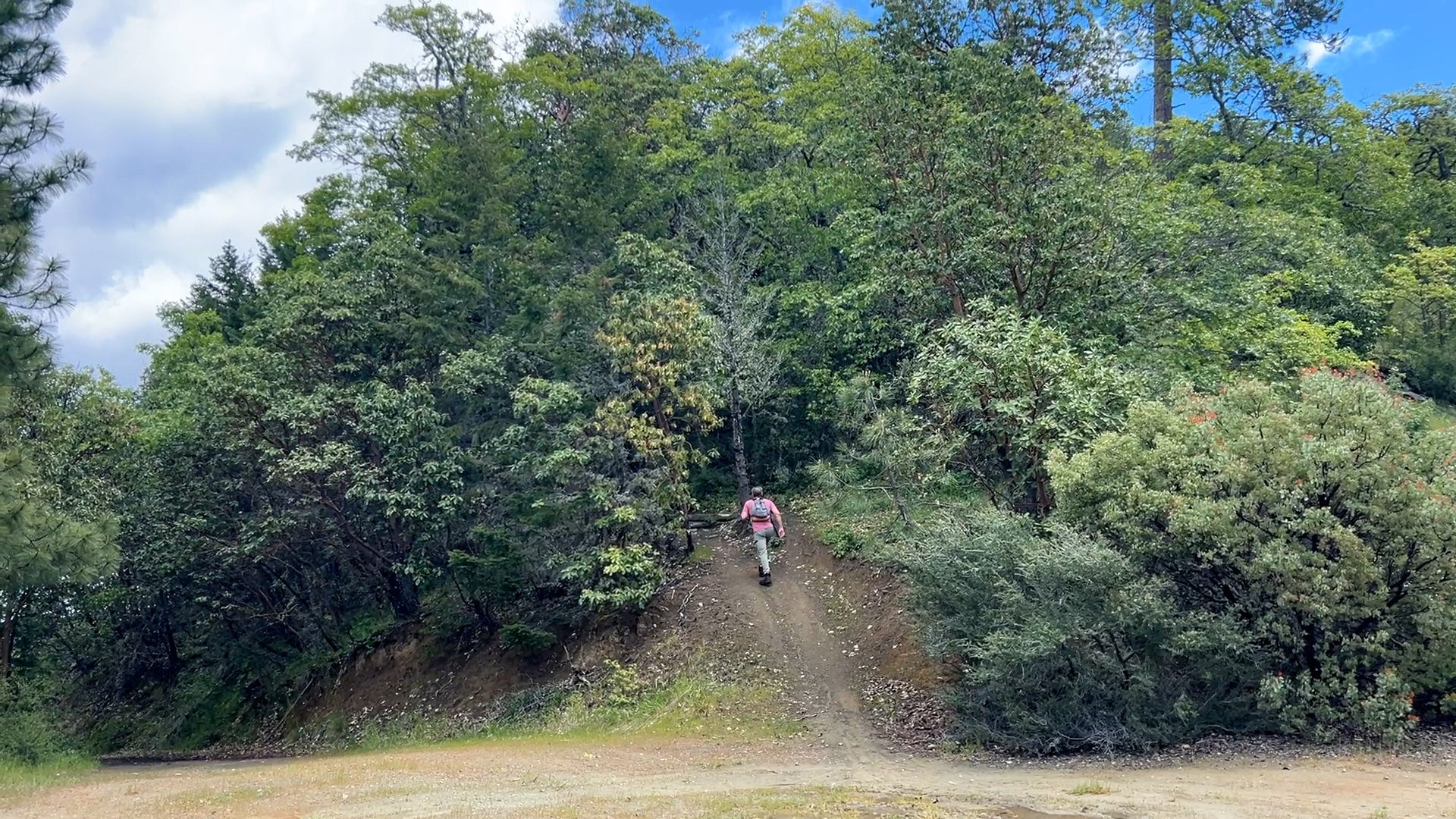
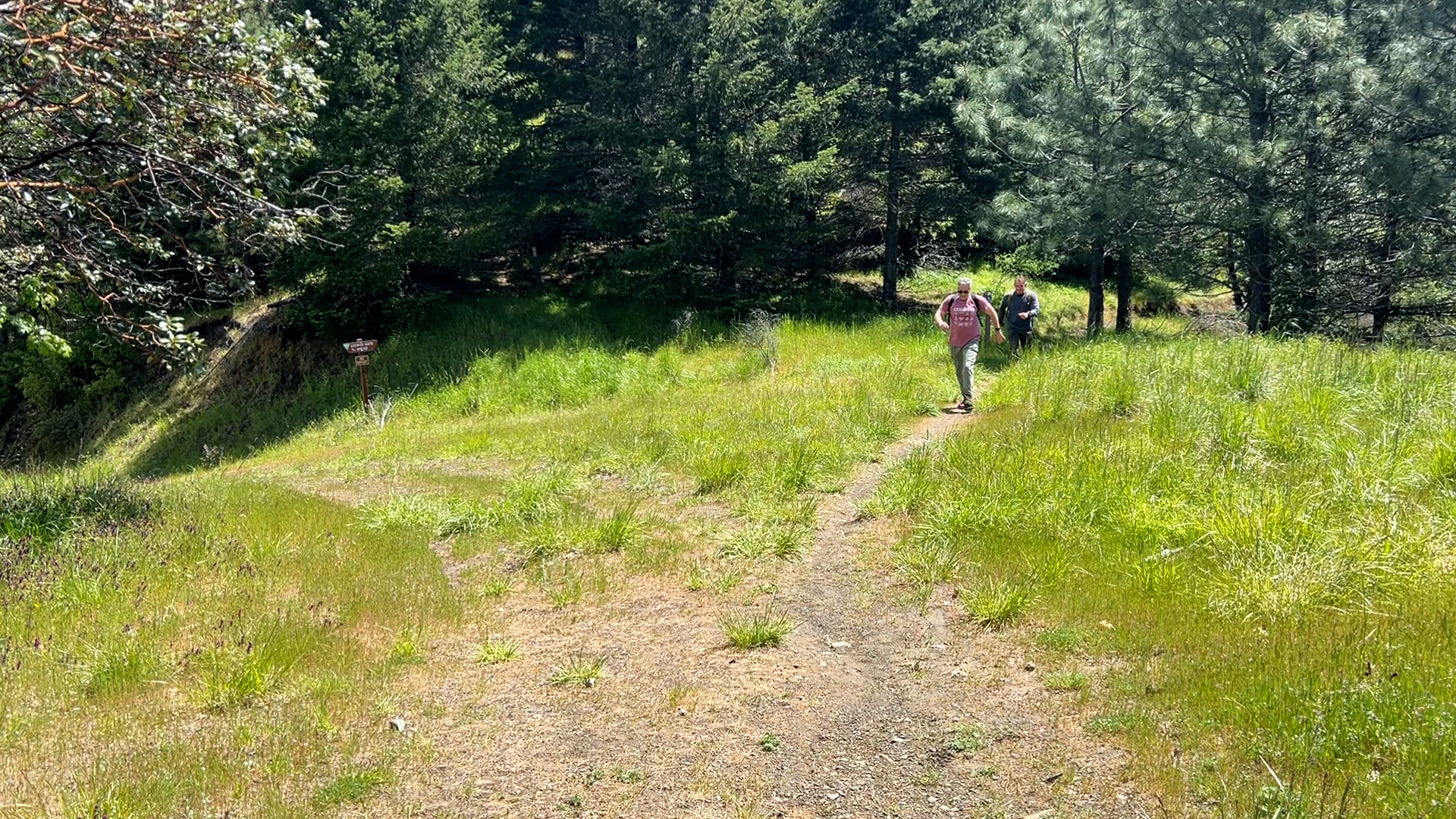
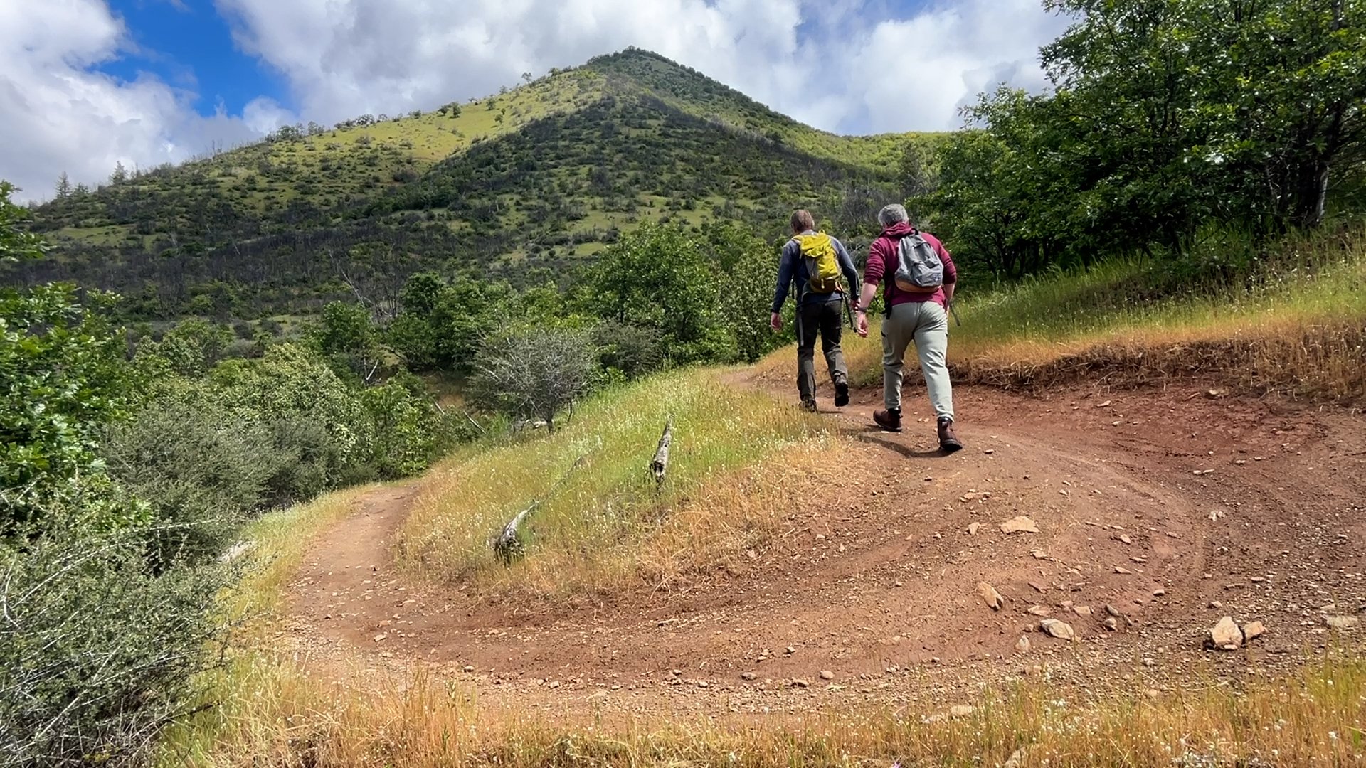
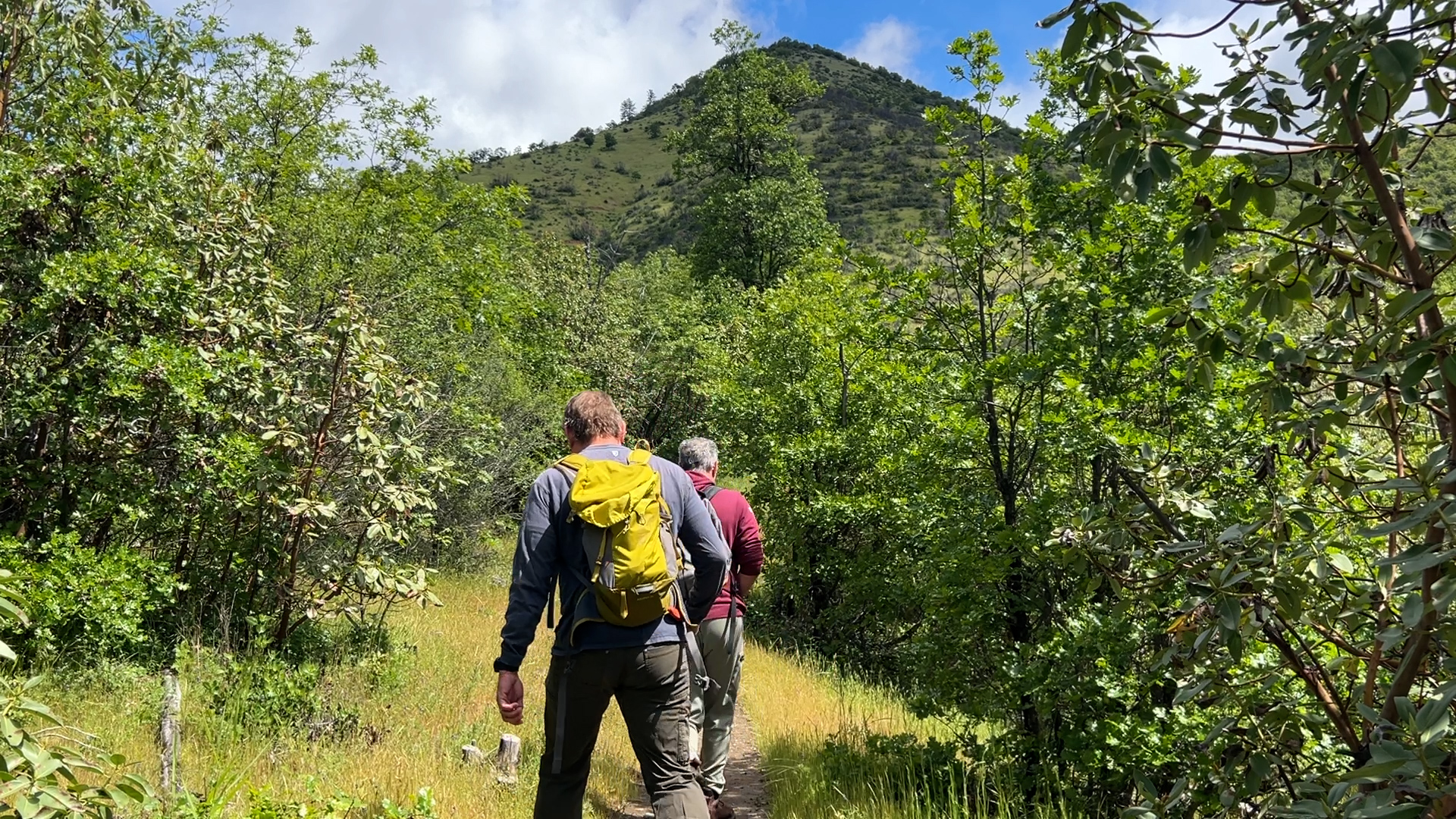
-From the parking lot walk past the information kiosk signs and you’re heading up Rat Pack Trail. This is your trail the entire way up and back. It is also the uphill mountain bike trail so give them room knowing that they will not be flying along much faster than you are hiking. The key to this hike is to stay on the Rat Pack Trail.
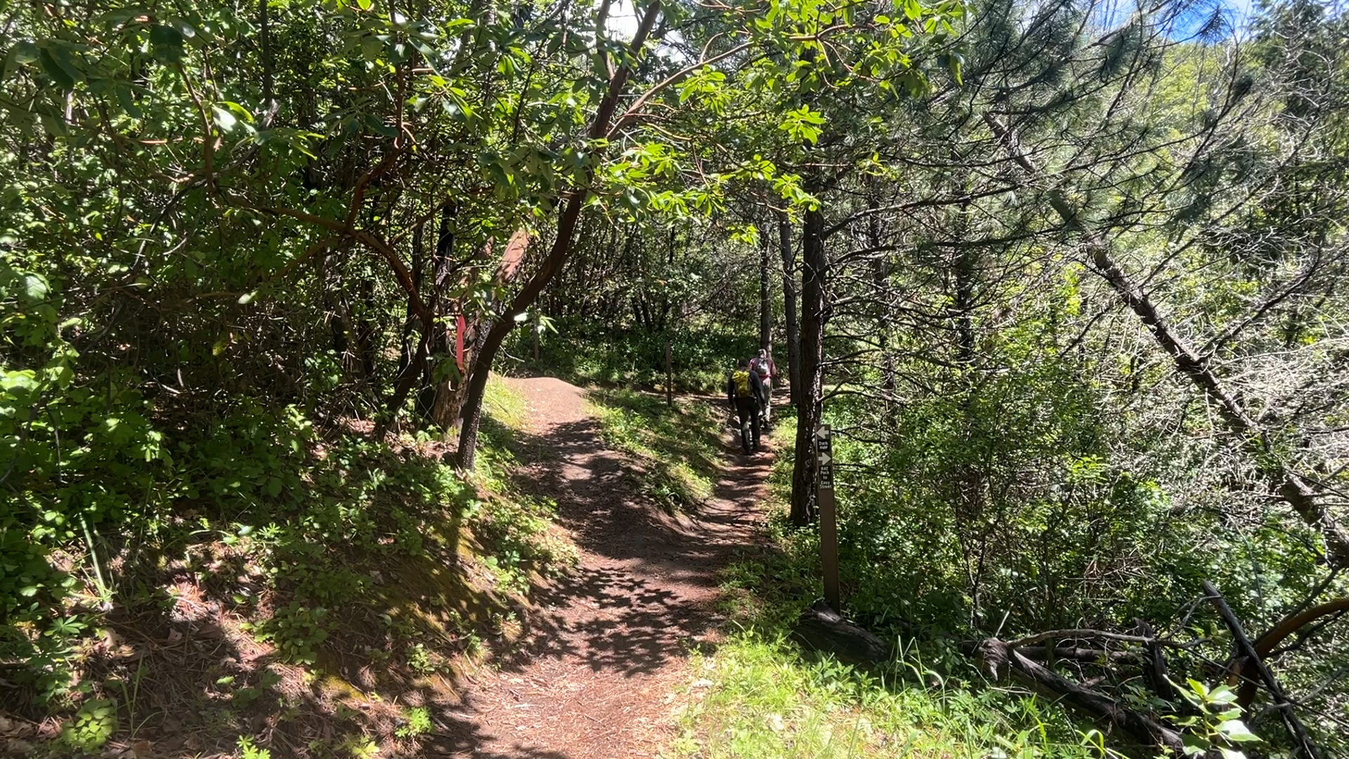
At the first intersection about 3/4 of a mile up stay right on the Rat Pack Trail. There should be a decent sign there. At a little more than 1 mile the next intersection is with the Bigfoot Trail. Stay to the left. There is another great sign there. At about 1.5 miles take the right fork, staying on Rat Pack and not Dos Vias.
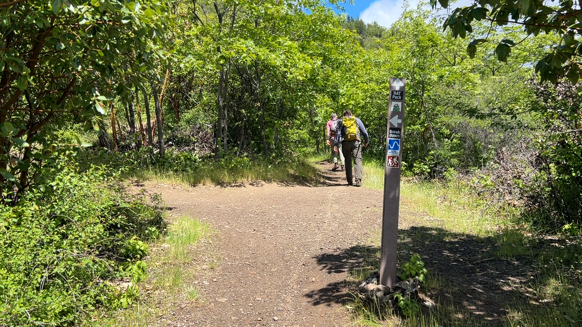
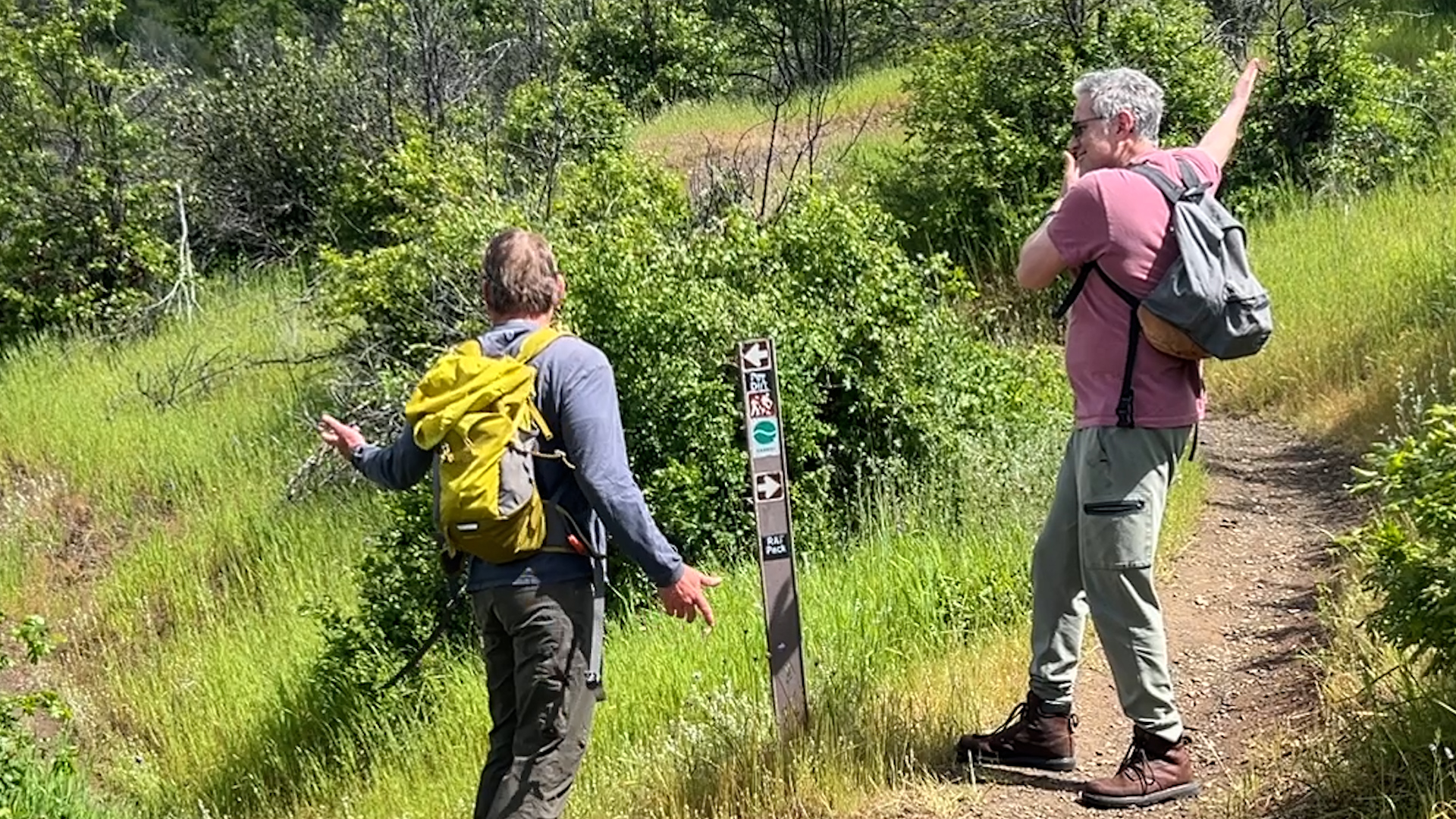
The next intersection is before the 2 mile mark. Continue forward on Rat Pack skipping the Break Down trail to the left. And after another quarter mile there will be a Darkside trail intersection uphill to the left where you will follow the sign “Rat Pack to Easy Street” to your right. Almost instantly, you will arrive at the top of the Bigfoot Trail. That’s downhill Mountain Biking from there so make the hairpin left turn uphill and you will quickly arrive at a large, open intersection.
To the right and downhill is a private road. Like gravel and two treads forest road, road. In front of you straight uphill is the continuation of that road but for our purpose, and the trail mapping purpose, it is called the Easy Street Trail so head up on that for about 1/2 miles.
That ends at a dirt round about where mountain bikers can continue forward to the left, but hikers turn left and head straight uphill. There are a couple crossing trails for the next couple hundred yards but now, you can feel the summit, just take any trail that goes uphill and you will arrive at the summit!
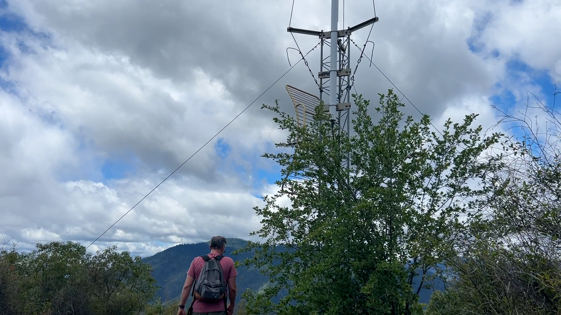
I know. The stupid metal satellite/alien signaling beacon at the top ruins the wilderness vibe, but no more that the roar of Interstate 5 in the valley below. But the view is nice. It makes the city of Rogue River look almost quaint.