Enchanted Forest Trail
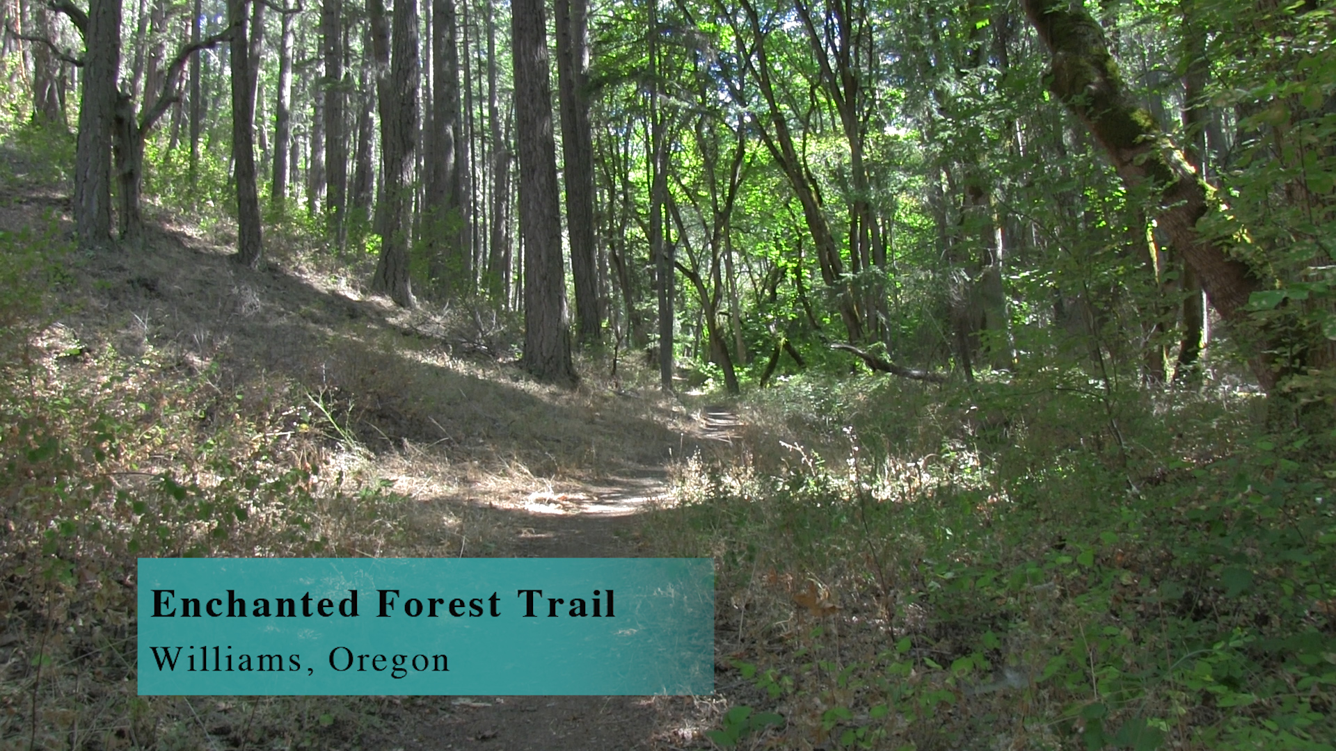
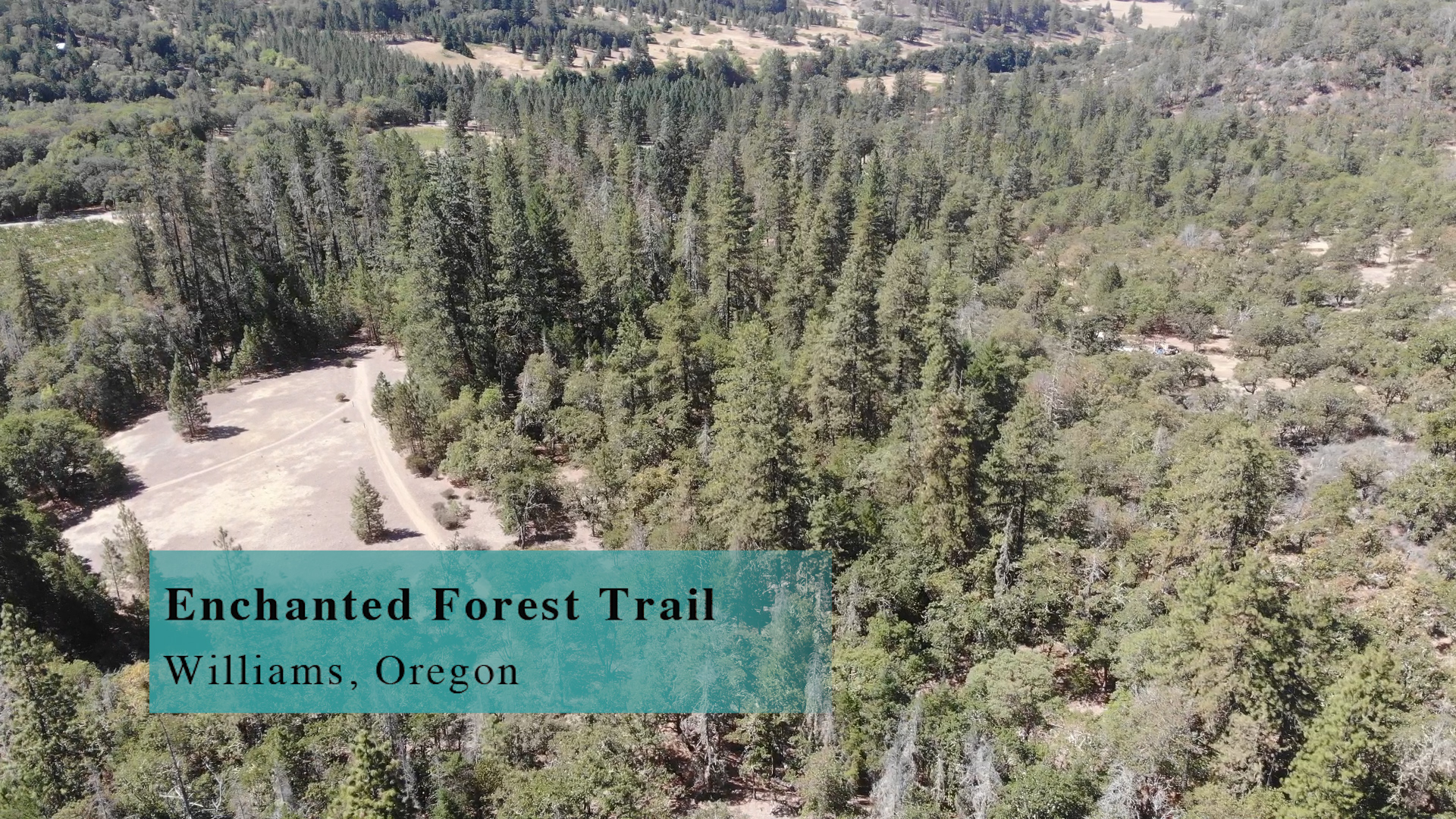
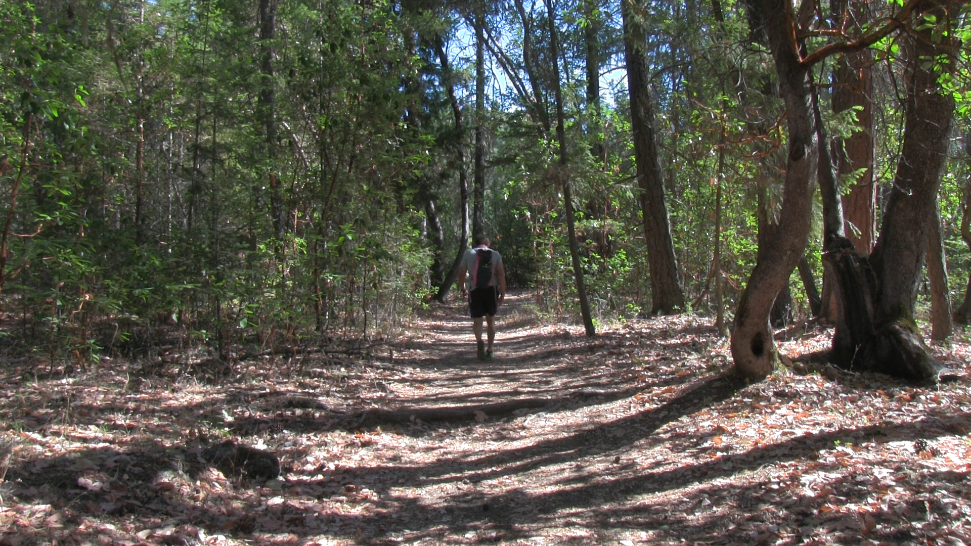
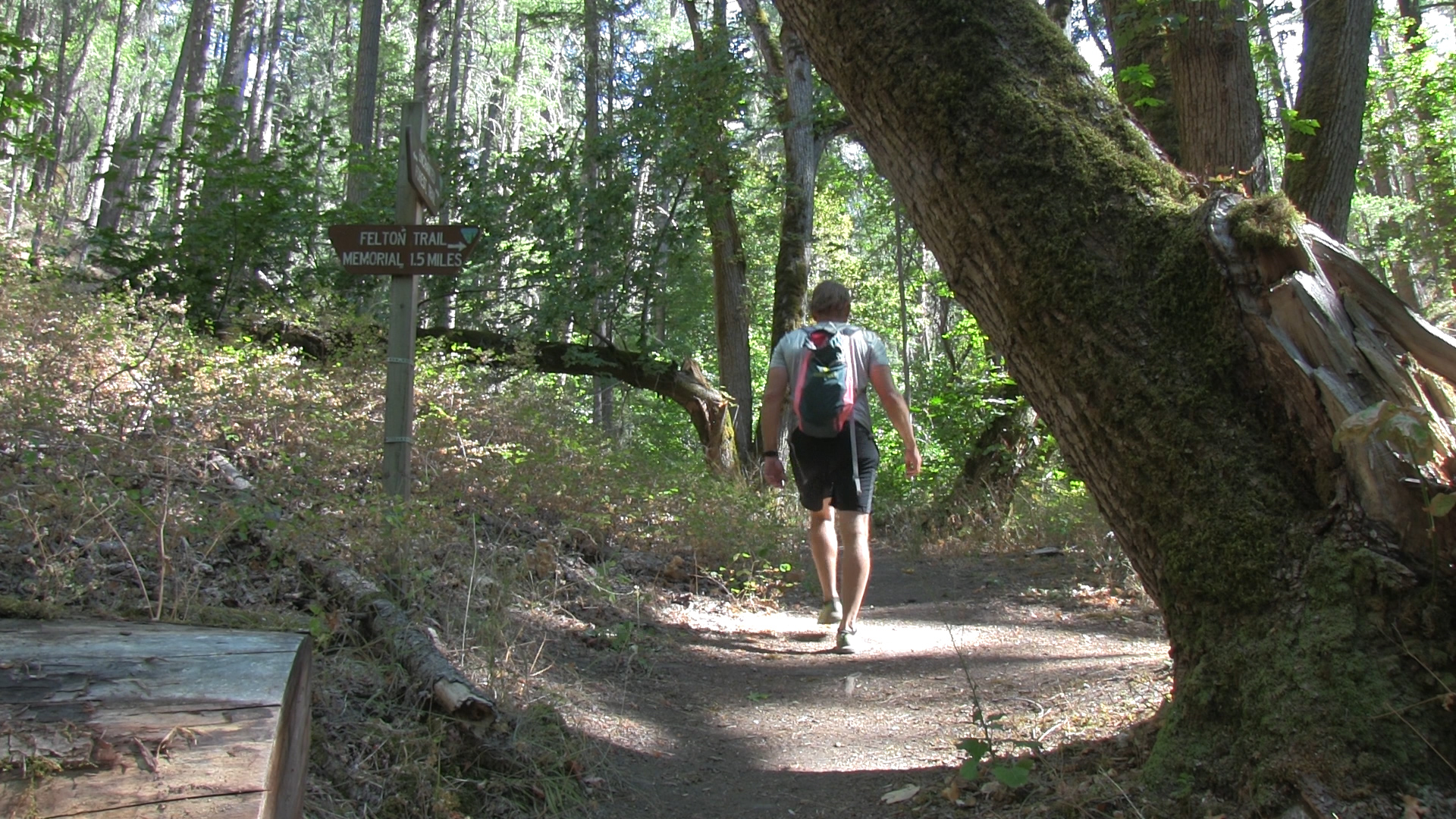
The Enchanted Forest Trail is a 3 mile out and back on a steady uphill in a shaded, open creek bed. Add the 3 mile Felton Memorial Trail if you are feeling strong.
Driving
– The Enchanted Forest Trail is less than 1 hour from Ashland. Head north on the Interstate 5 towards Medford and exit at the Phoenix exit. Turn left and then right onto route 66 again and quickly you will see South Stage Road. Turn left there and head towards Jacksonville. Route 66 jogs right and left at Griffin Creek Road, and becomes ‘California Street’ as it passes through Jacksonville, but you know what makes sense… it becomes Route 238 after Jacksonville. (sarcasm alert. Doesn’t make sense!)
Drive past Ruch and it’s big yellow house. You are heading into Wine & Weed country. At the city of Applegate, before you cross the Applegate River you turn right on N. Applegate Road toward Troon Vineyards. 10 minutes on this road and you’ll hit a weird intersection where you continue forward on Kubli Road and then quickly turn right on Slagle Creek Road. That road dead ends into the trailhead.
Parking
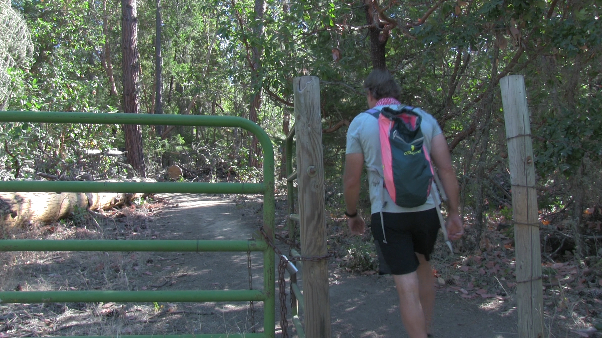
– Maybe, MAYBE, 3 spots right there at the trailhead. There is some room along the country road but be mindful of the various private driveways that look like rural roads sometimes.
The Adventure
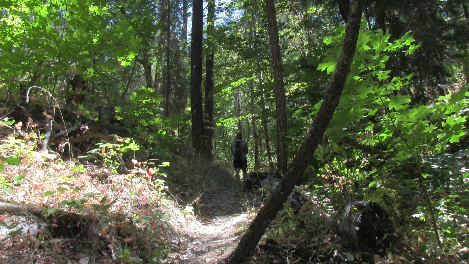
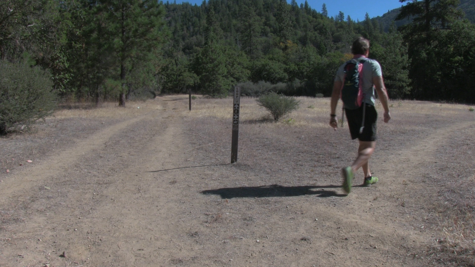
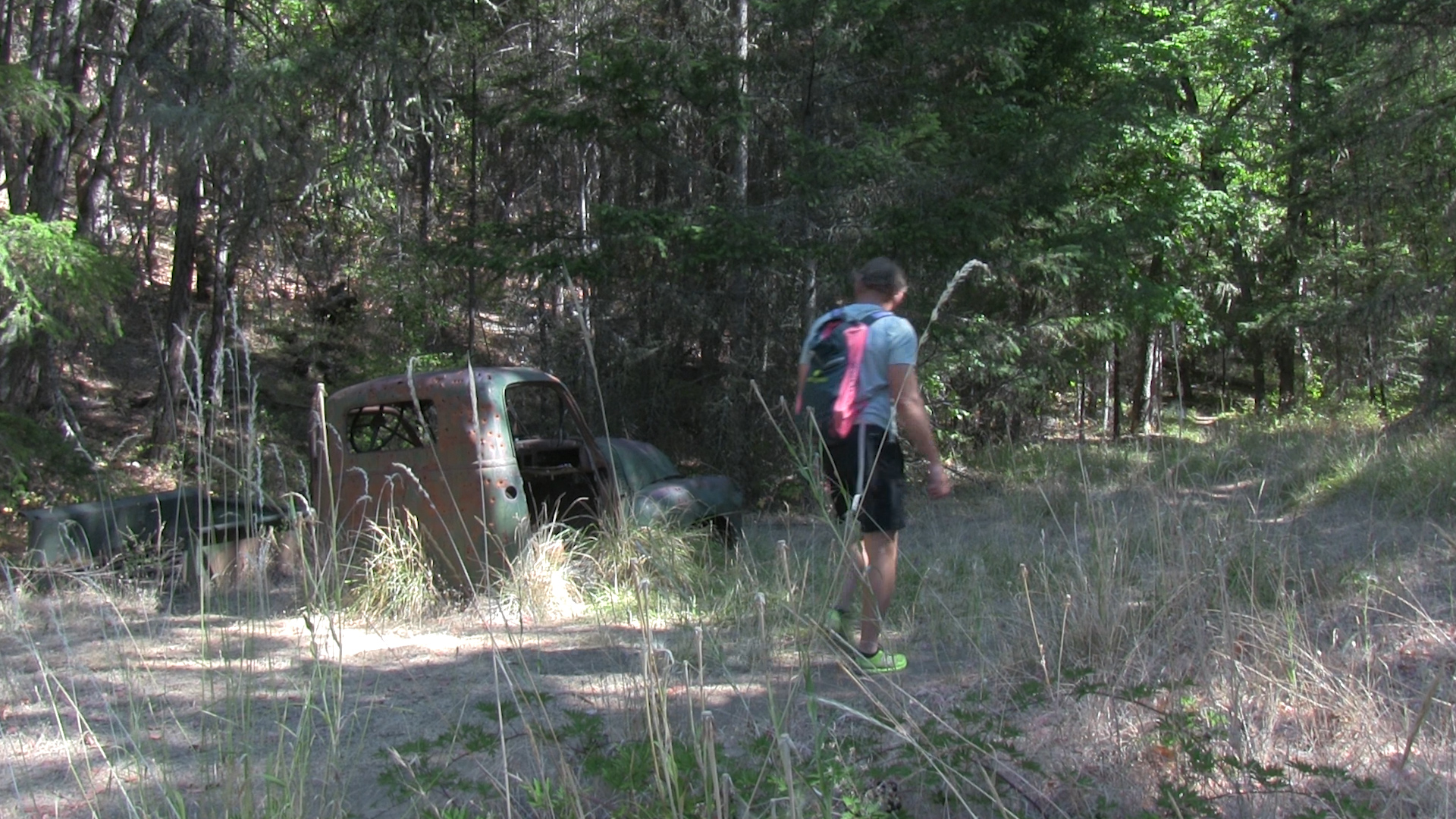
– It really does deserve it’s name. Much of it anyway. Early on the trail there is a loop you can take to the right that rejoins the main trail shortly ahead. Take it. Once you pass the wreckage of an old car (don’t worry, it’s quaint like the cover of Country Living, not trashy like the front yard of someone named Cletus), the big trees begin. This creek bed is unusually wide open, like somebody clears the underbrush, that’s the enchanted part I guess.
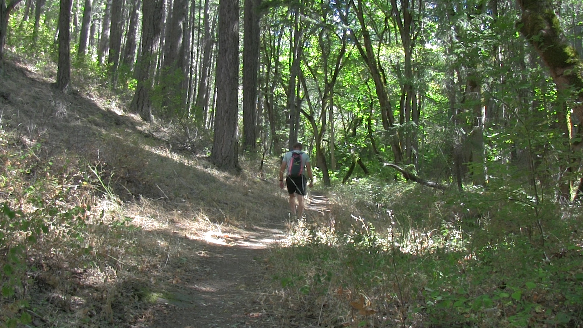
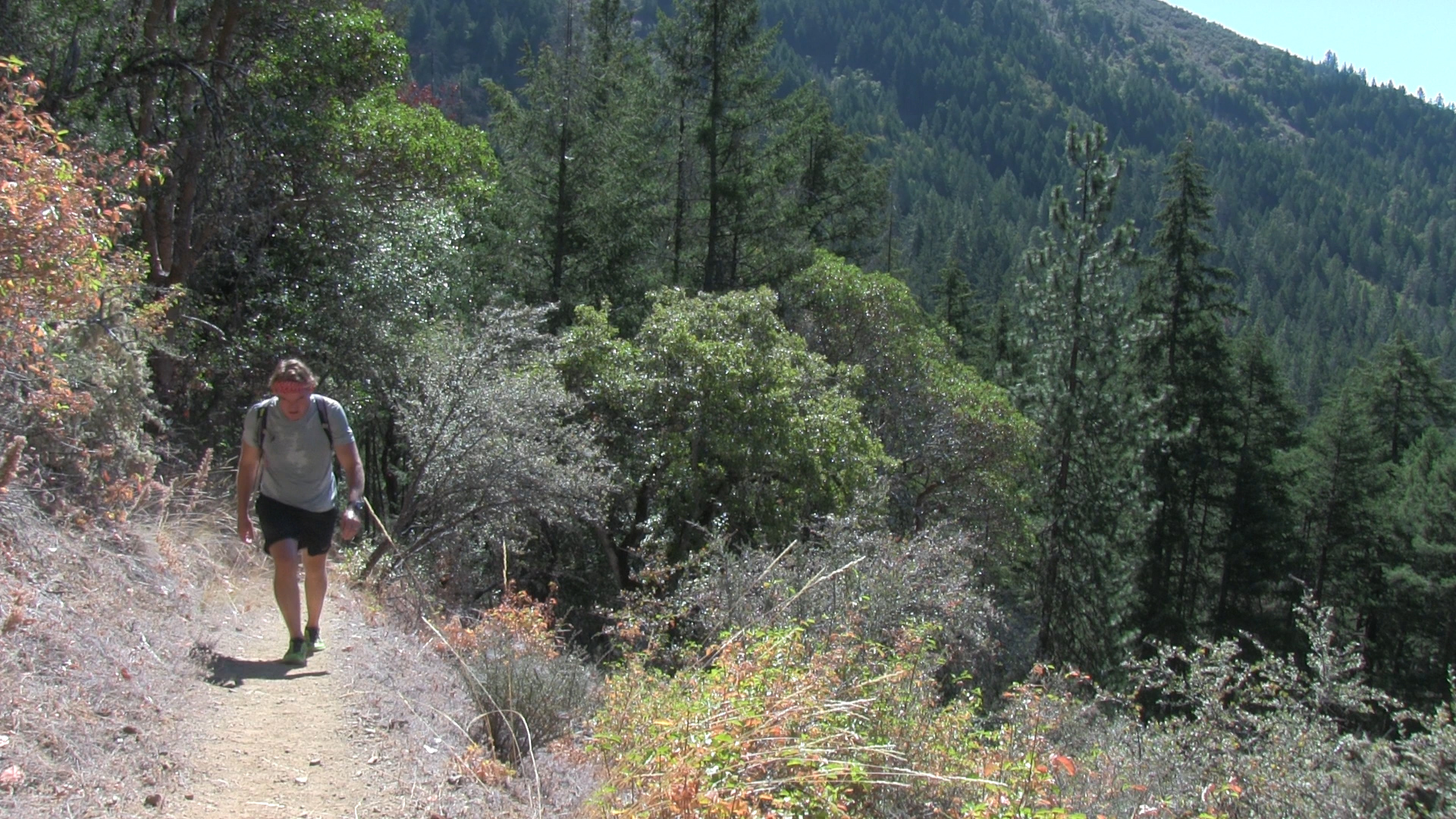
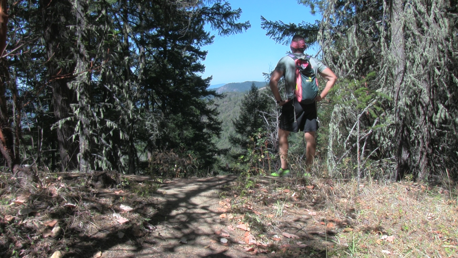
However, it is a relentless uphill the entire way. After more than a mile, the trail turns hard left and up the hillside. You will leave the shade and really embrace the uphill. There is a sign saying “Leaving Public Property” and soon after you hit the top of a ridge. There’s a decent viewpoint there. Turn around and head back. I know. I know. There is a trail continuing uphill to a summit maybe? Do not bother. Not just because it’s private land, but because it’s steep and brushy and ends at a dirty construction site.
You did pass a trail sign a half mile back saying Felton Memorial Trail. That’s a nice 3 mile out and back that ends at a memorial plaque for some firefighters. (So it seems from what I read online. I skipped it. I felt like I was covered in poison oak and ticks from that stupid trek to the stupid summit-slash-construction site.)

