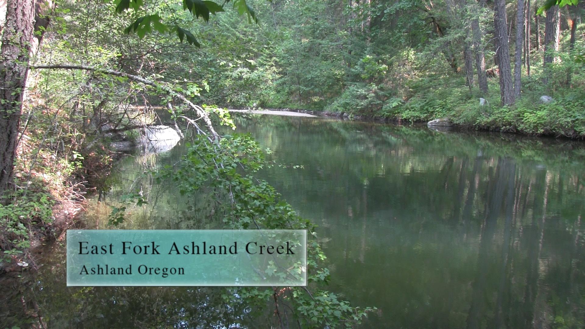
East Fork Ashland Creek
The East Fork of Ashland Creek is unlabeled and not talked about but it’s a real trail, and probably legal. 3 miles out at back from Lamb Saddle. That’s a 6 mile hike if you take Toothpick.
Driving
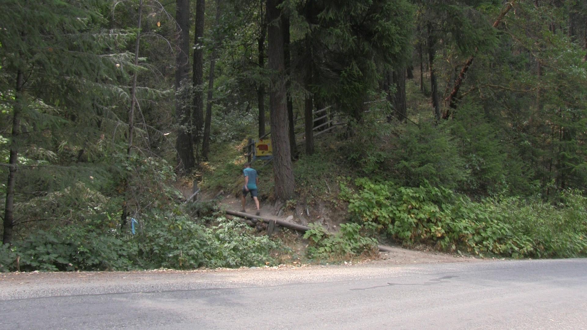
– This 15 minute drive starts south through town on Main Street/Siskiyou towards the university. Pass the university and in a couple miles, turn right at the stoplight at Toleman Creek Road. Toleman Creek heads straight uphill and then winds around into the mountains. After about 5 minutes, keep your eyes open and on the right there will be a small turn-out with a couple of home-made trail signs. It’s very subtle. Good luck.
Parking
– There is barely room for 3 cars so you may have to pull in to the grass a bit, or find a pull out further up the road. It’s not a super busy trail, so you should be okay.
The Trail
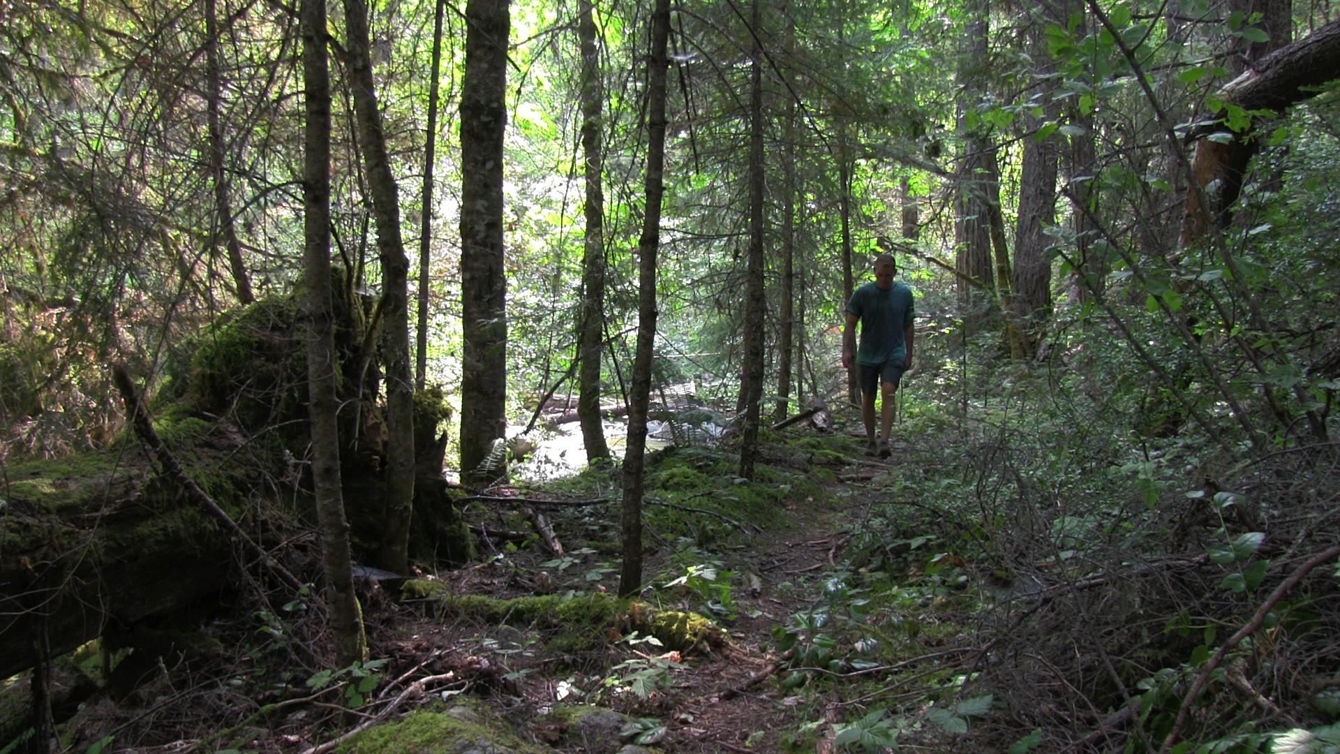
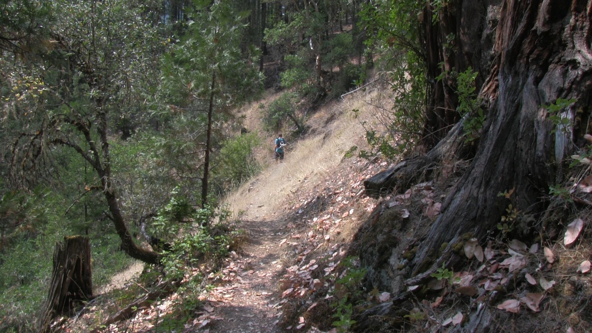
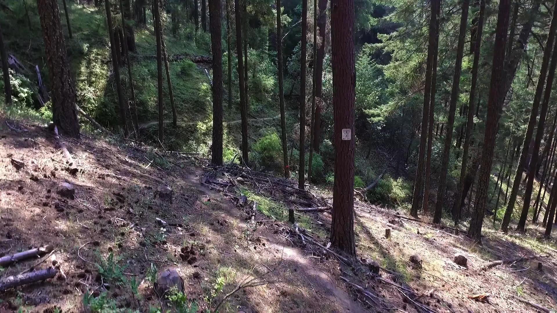
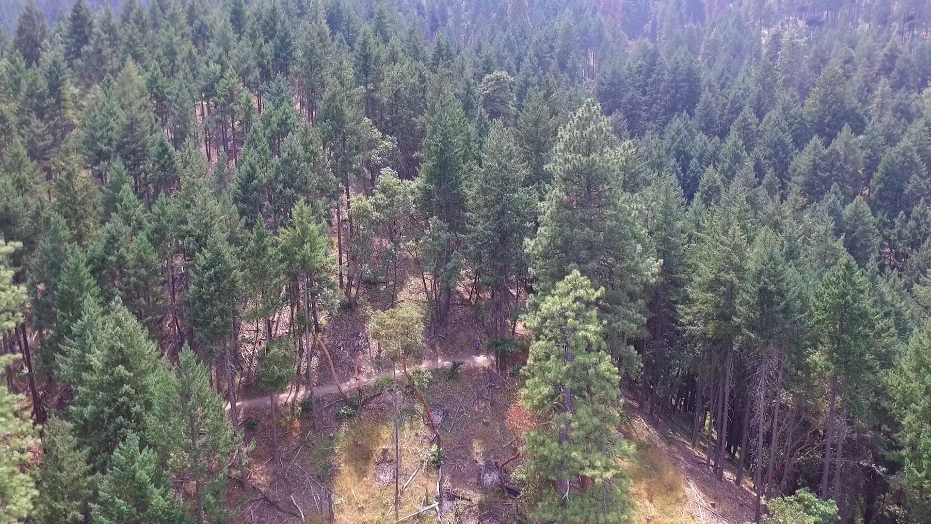
–Surprise, you are also hiking the Toothpick Trail today. It’s a little over a mile to the “Lamb Saddle” and the beginning of the East Fork trail. Then the East Fork trail is another 1.5 miles down to the creek. That’s less than 6 miles round trip, car to creek and back.
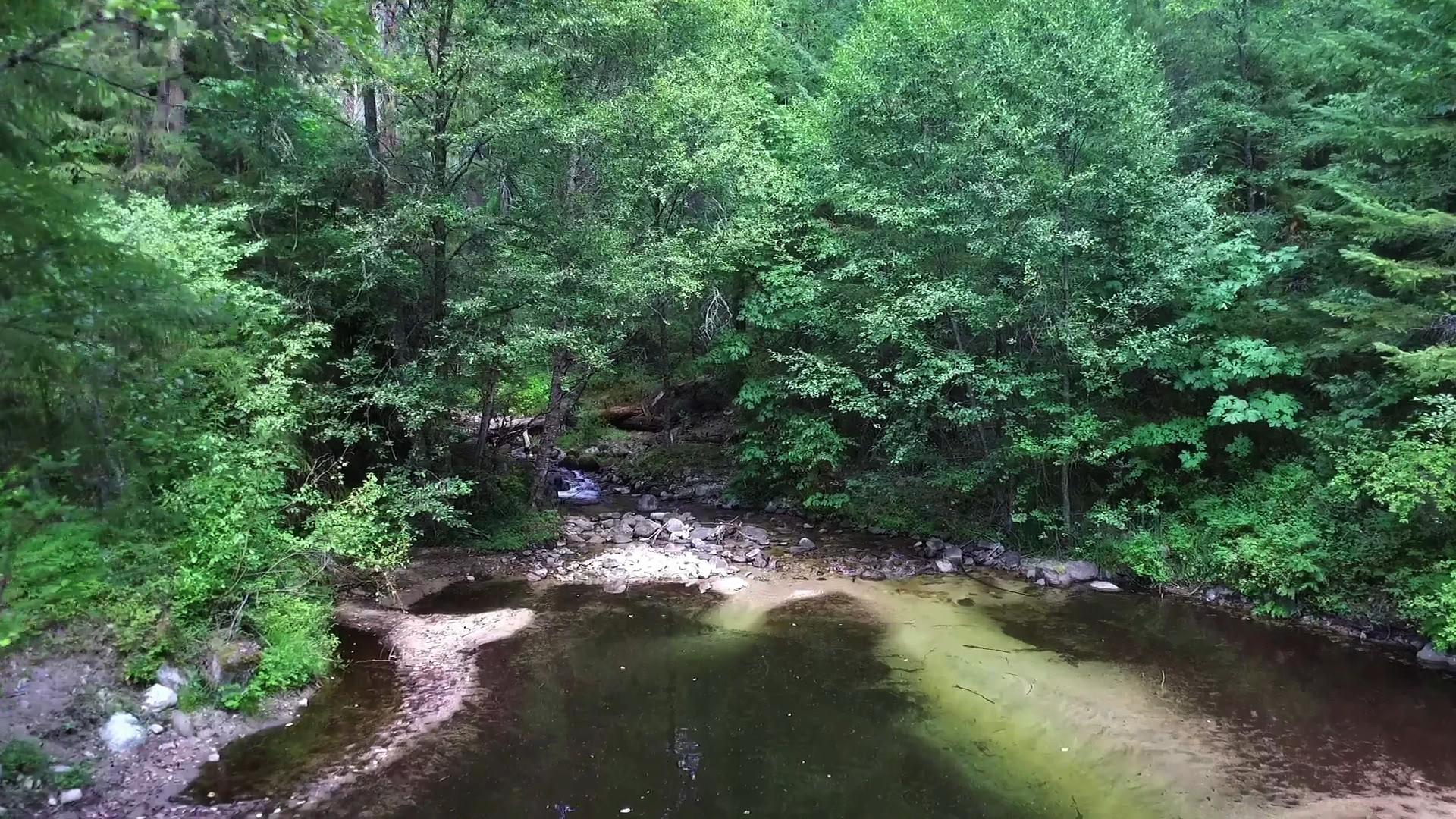
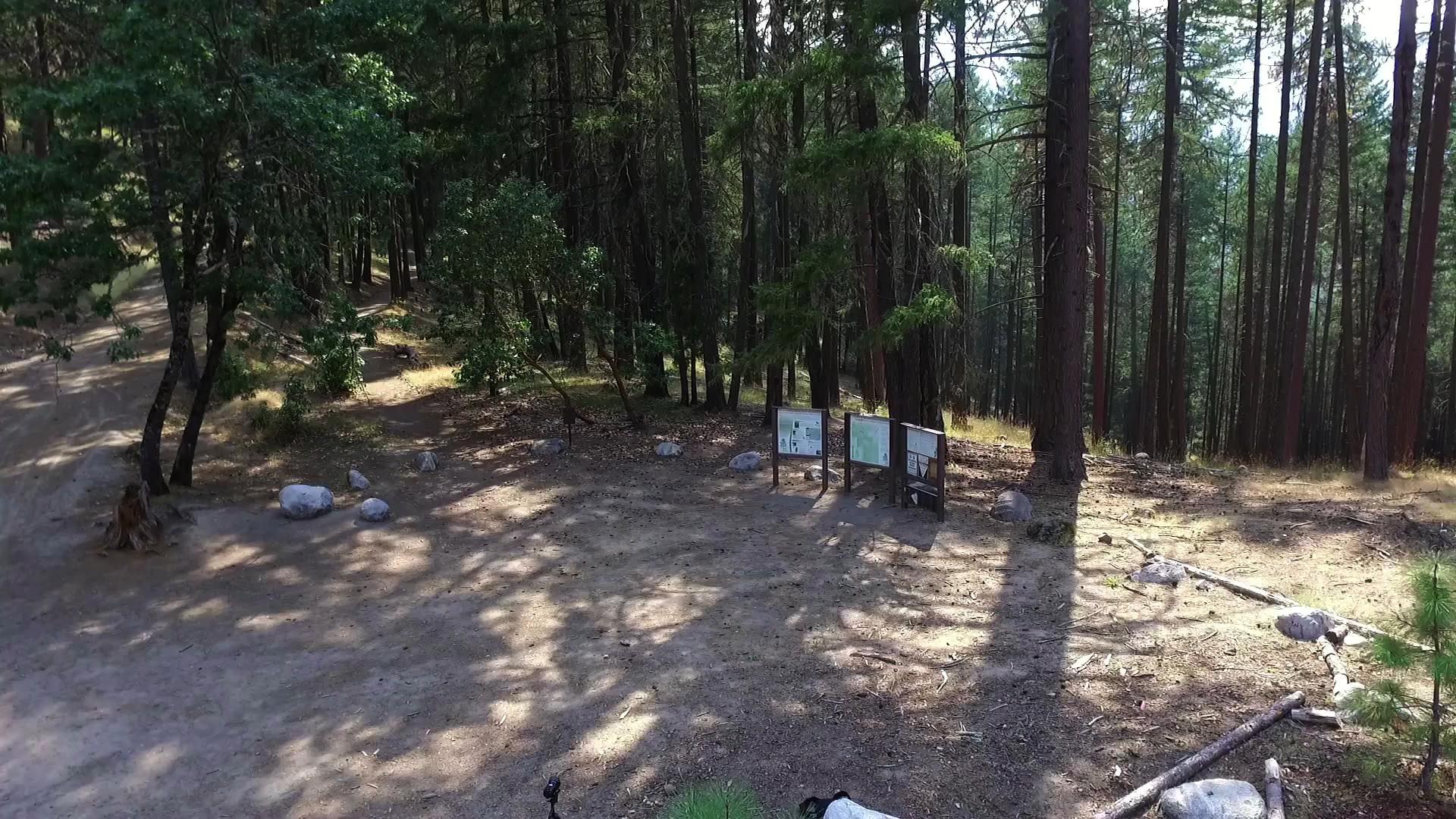
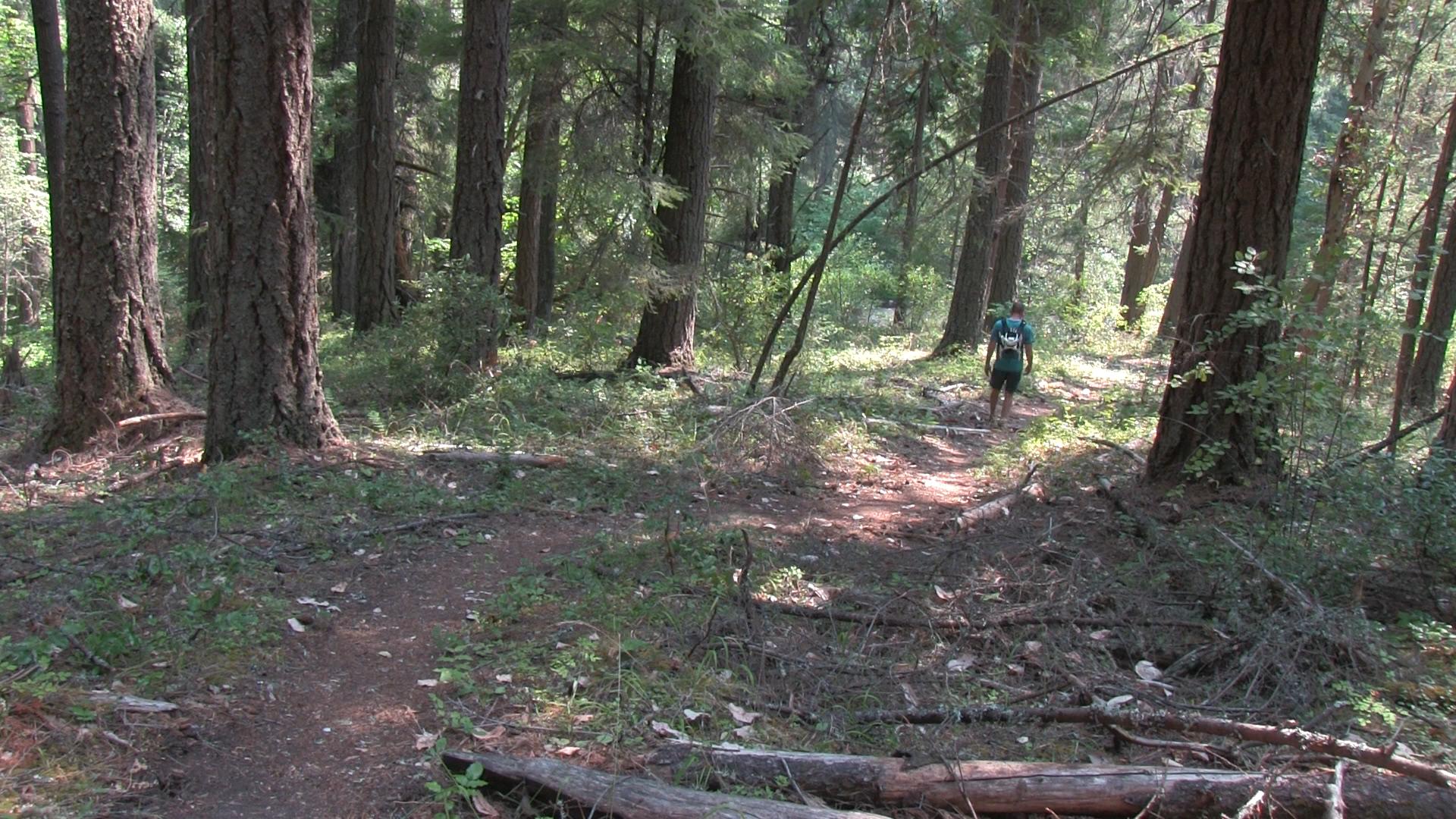
At the Lamb Saddle, Caterpillar heads down to the right, the Lamb Mine trail heads to the left and quietly, secretly, the East Fork trail heads downhill behind the 3 information signs at this 6 way trail intersection. The trail follows below the Lamb Mine trail to start, then it heads more significantly downhill. It doubles back and you’ll hear the roaring of the creek before you see it. Finally, you end at a large swimming hole and you can explore the creek or whatever you’re spirit animal tells you to do. Don’t go further downstream or you’ll hit the reservoir and the water cops can swoop in and throw you in hoosegow I believe.
This is so great you will want to keep this a secret, but I’ve already blabbed it, so be nice and share… with the cool people of course


Hi Jim,
My husband and I appreciate your hiking book including your commentary. About a month ago, we decided to do Toothpick as well as the East Fork of Ashland Creek trail. A big mistake for 2 people in their 70s. After straddling a couple of logs we were a little apprehensive, but continued on.
When the logs over the trail increased in number as well as height, we turned around when we couldn’t see the trail ahead due to logs and branches blocking the trail.
I think there should be “a word of caution” alerting people to logs. We also got the feeling that the trail was not open to the public.
Thanks for the heads up Carol. I’ve updated the webpage listing the trail as “closed.”