
Mt. Ashland/ Bull Gap/ Bandito Bike
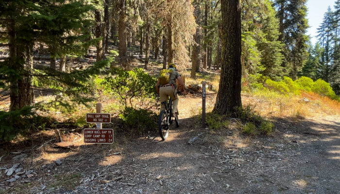
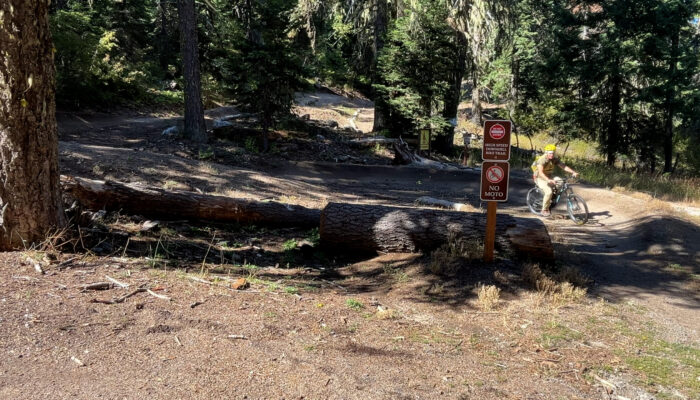
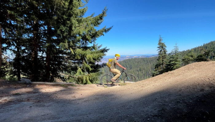
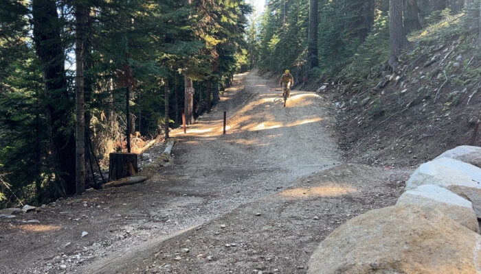
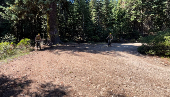
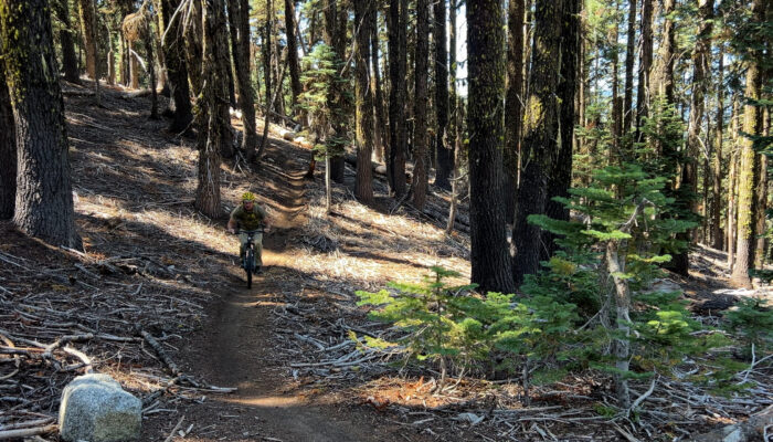
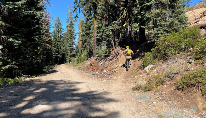
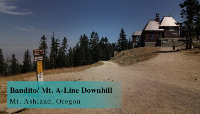
This Mt. A/ Bull Gap/ Bandito 2.5 mile downhill starts off all of the Ashland Watershed trails. The main 15 mile downhill mountain bike route from Mt. Ashland to Downtown Ashland begins… right now!
YouTube Video
Google Maps
Driving
– 20 minutes from I-5 exit 6. It’s 9 miles up the Mt Ashland ski road up to the ski lodge. Now only a psychopath would drive up here, bike down, and then… bike back up to get their car? So, get a friend to drive you up to the top or… have an extra car at the bottom to shuttle someone back up to bring the car back down or… pay a shuttle service like Ashland Mountain Adventures to drop you and your friends off at the top.
Parking
– Giant, empty, free Ski Lodge parking lot but… think about a shuttle. Seriously.
The Adventure
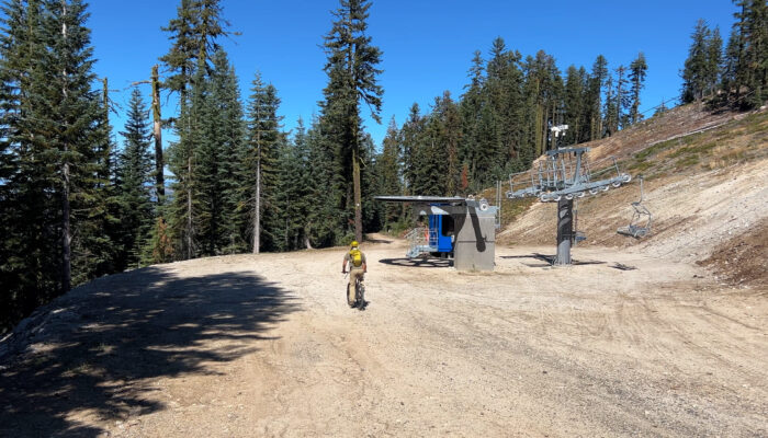
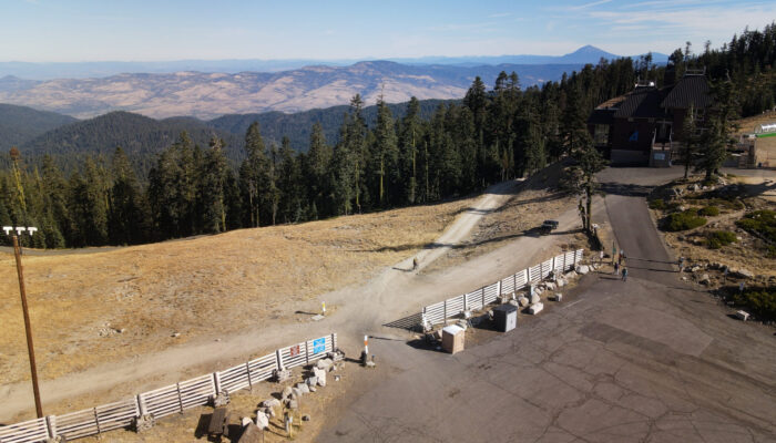
– From the parking lot you head downhill to your right on the dirt road. Officially the beginning of The Upper Bull Gap Trail. You might pass a number of ski lodge trucks and ATVs at the top but in a couple hundred yards you pass the new Lithia Chair Lift and you are now out of the Ski Park area.
20 yards past the chair lift there is an unsigned single track trail to the right and that is The Bandito Trail. It is ‘unofficial’ and also on every single mountain bike app on the planet. So take it! 1 mile of fantastic easiness. A couple of medium rock and tree drops but it does connect you back out onto that dirt road you started on. Technically back on Upper Bull Gap Trail.
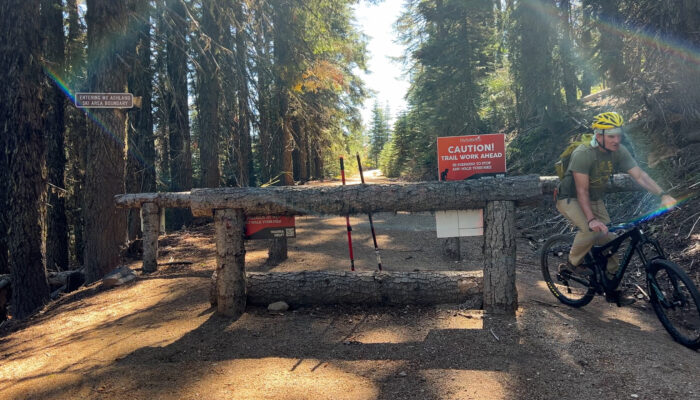
Another hundred yards and the large log barricade appears. This is the official beginning of the Mount A-Line Jump Line. About 1 mile including 50 jumps with opportunities to bail at any time. Roll ’em, jump ’em, break you collar bone on ’em, you are the decider here. There is an uphill-slash-loser-downhill trail right next to the jumps so you can loop this six times on your e-bike (technically illegal but since when do mountain bikers care about Johnny Law, amiright?) so lots of options.
And the bottom this section ends at Bull Gap. From here you meet the Toleman Creek dirt road to your right where cars can come and go, and the 2060 dirt road to your left where cars can not go. However, if you are heading into town on your 15 mile downhill route, at this gap, there is trail signage that you should follow straight across The Gap that sends you slightly uphill for a bit and onto Lower Bull Gap.
2.5 miles. Boom. Let the games continue!