
Applegate Lake Loop
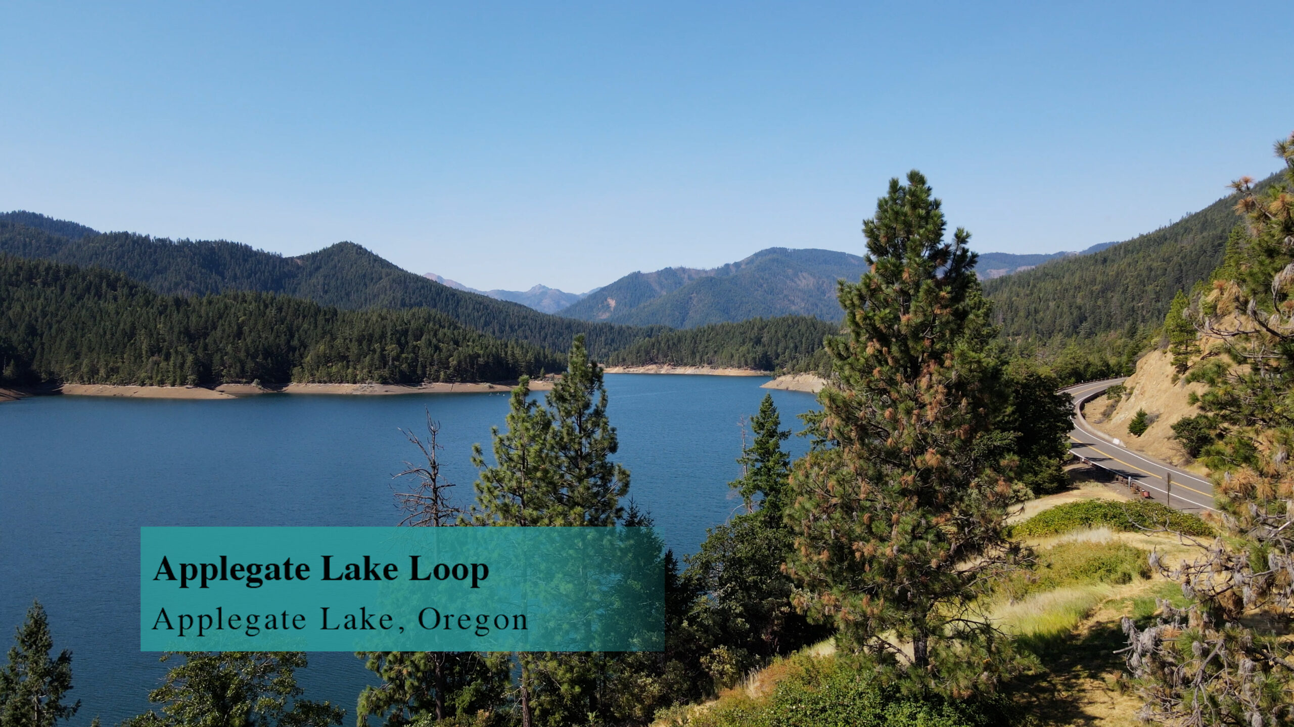
The Applegate Lake Loop Trail is an 18 mile mountain bike trail that precariously circles the shoreline of Applegate Lake. Steep drop-offs and challenging rock gardens make this a trail for very aggressive bikers.
Driving
– It is a 50 minute drive from the I-5 Phoenix exit. That is exit 24 so head towards Phoenix and then, turn right on Highway 99 for less than a mile and turn left on South Stage Road towards Jacksonville. There’s a quick jog right and then left on Griffin Creek Road and then South Stage turns into California Road as you drive through Jacksonville.
As you emerge from Jacksonville you are on Route 238 heading to Applegate. It’s rural. It’s nice.
Keep an eye out for Upper Applegate Road in about 10 minutes. You’ll turn left at a city called Ruch, but you aren’t going to see a city, you’ll just see a grey real estate/school building. So turn left and you have 20 minutes on Upper Applegate Road driving along the Applegate River. Some roads split off, but head toward Applegate Lake and Applegate Dam.
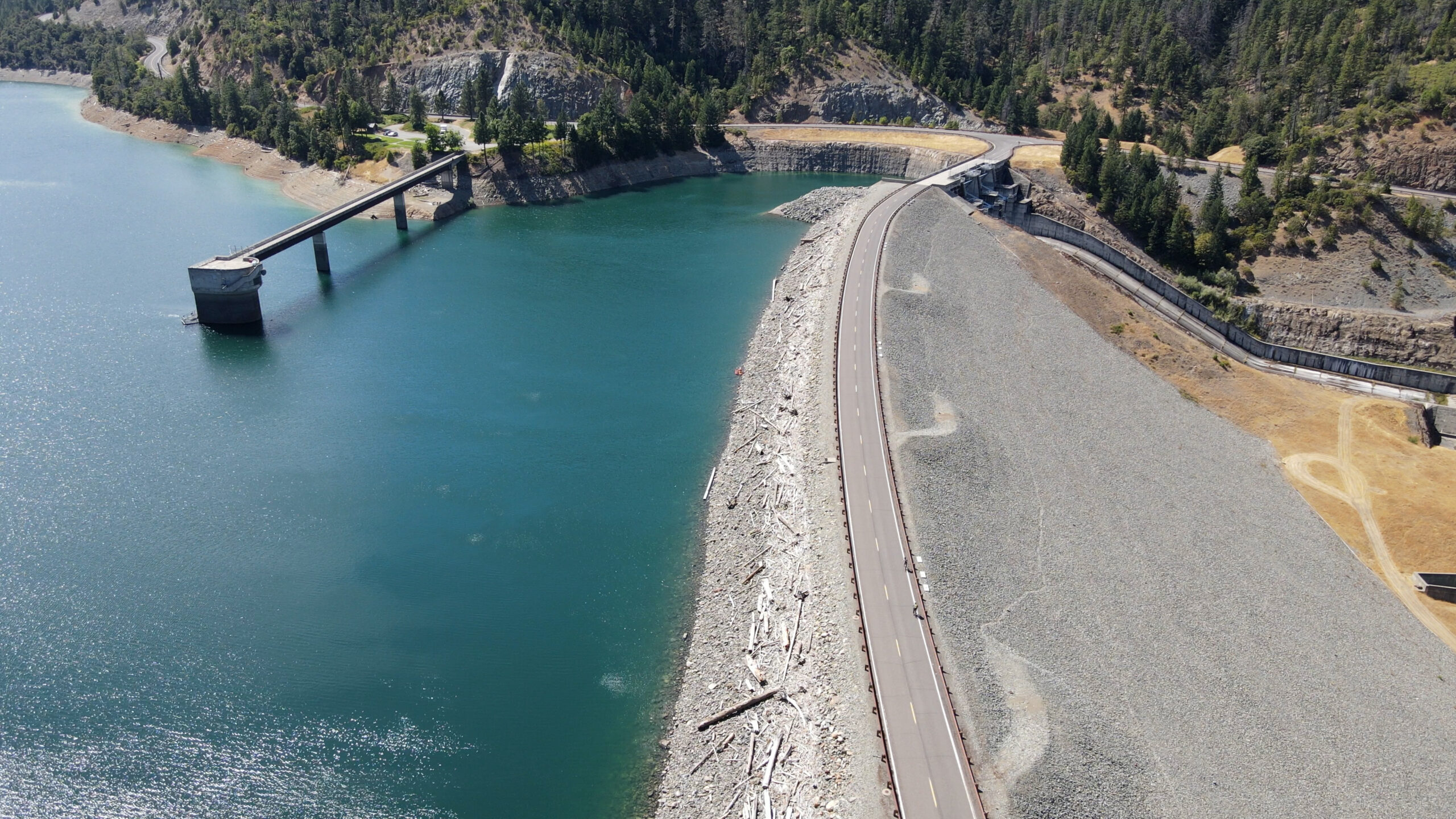
When you see the dam, you pass the dam, and quickly the next driveway to the left is the parking lot. Turn left into that.
Parking
– Dozens of paved spots with a flush toilet restroom. Very civilized.
The Adventure
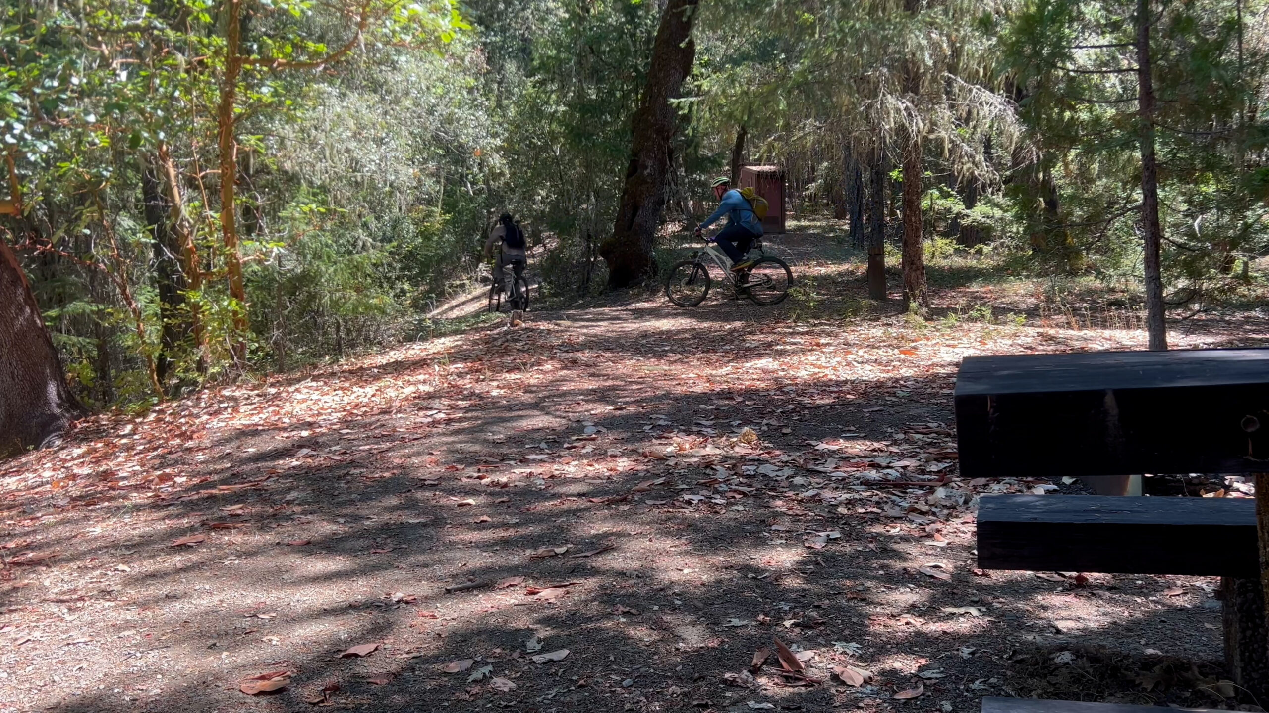
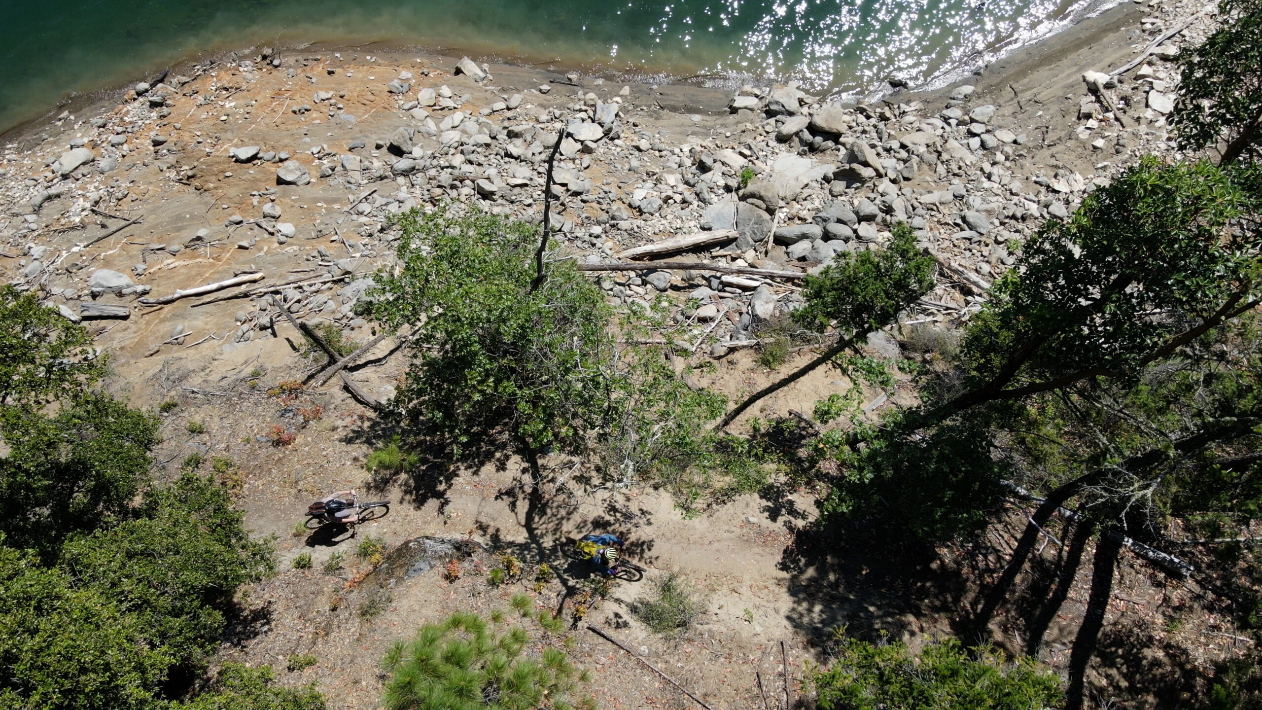
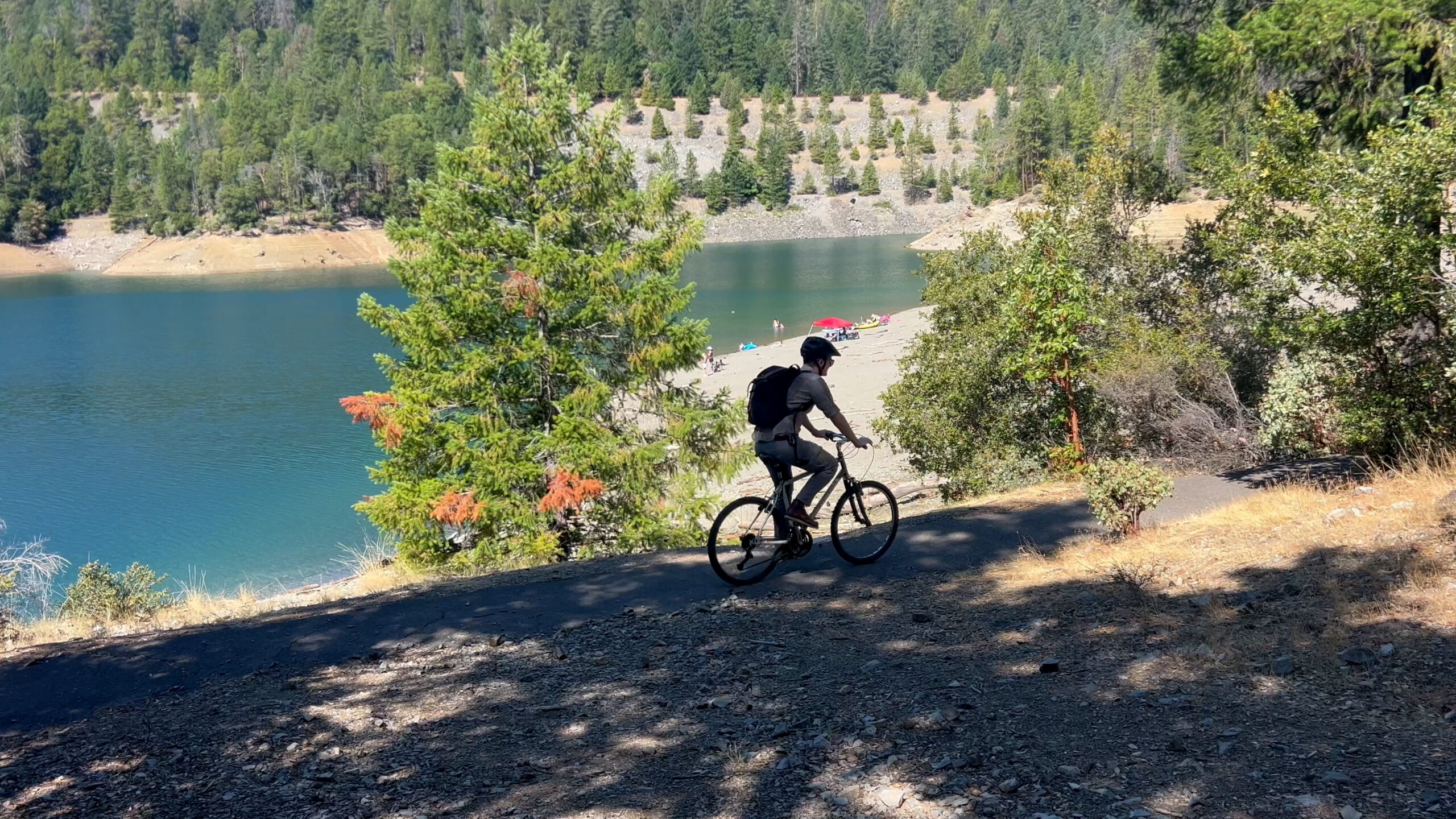
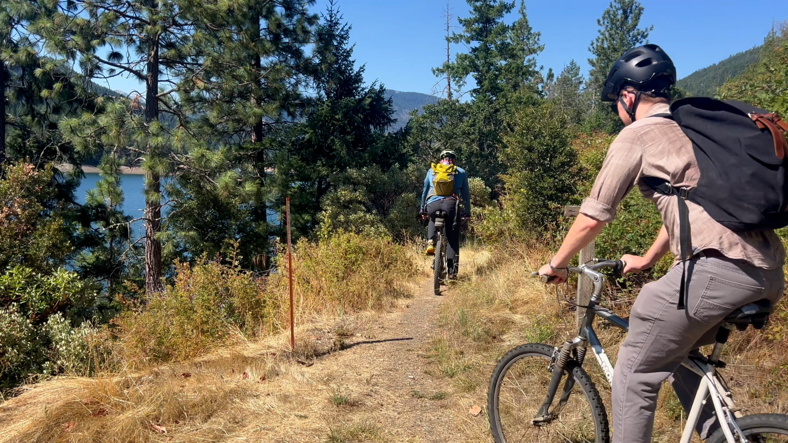
– We are starting at the Swayne Viewpoint and heading counter-clockwise around the lake. In 1/4 mile you ride scary, large rocks into the Hart-Tish campground. Stay left and cut through the campground on a weird semi-paved path and then ride atop the beach area where the weird semi-pave path continues and then… the trail truly begins.
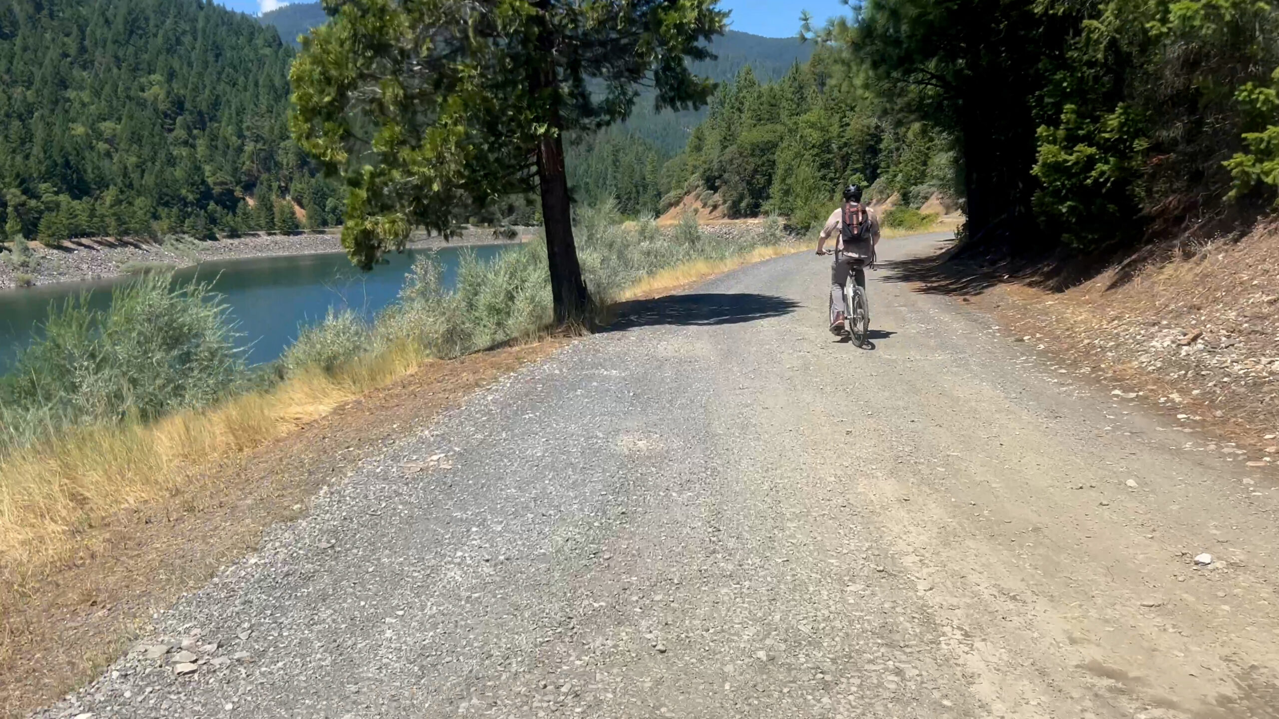
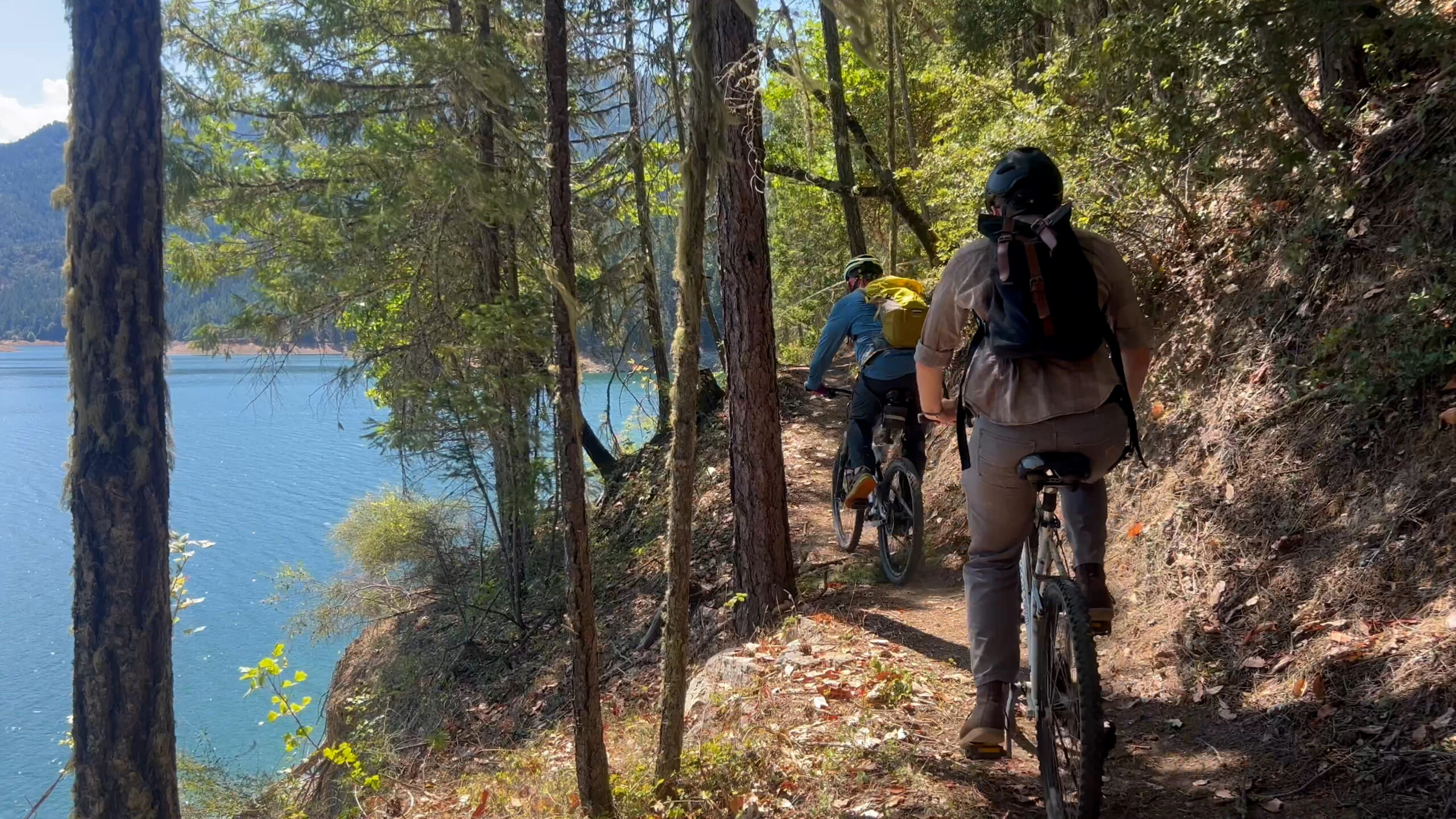
The next 5 miles is up and down and along some steep drop offs with rock garden crossings. I guess “technical” would be a good word for it. My word for it would be “sucky.” It’s scary work. But you arrive at the Watkins Campground and there is a pit toilet – no water! – and now there is 1.5 miles on the road. Turn left to stay along the lake and then turn left onto the gravel towards the Stein Butte trailhead but also to stay along the lakeshore on that road for another 1.5 miles.
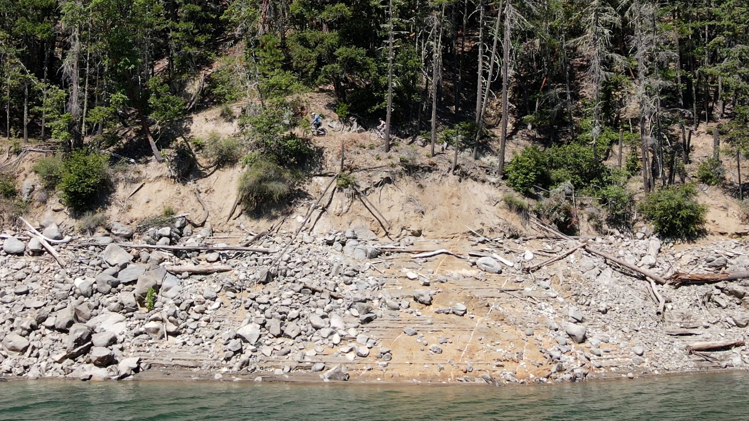
Now you will see the Payette Trailhead and you begin 7 miles of shoreline single track trail. Not as technical as the west side of the lake. Still some scary drop offs but the ups and downs aren’t as extreme. At mile 6 you will hit the second Payette trailhead and stay left and continue along the shoreline towards the French Gulch trailhead.
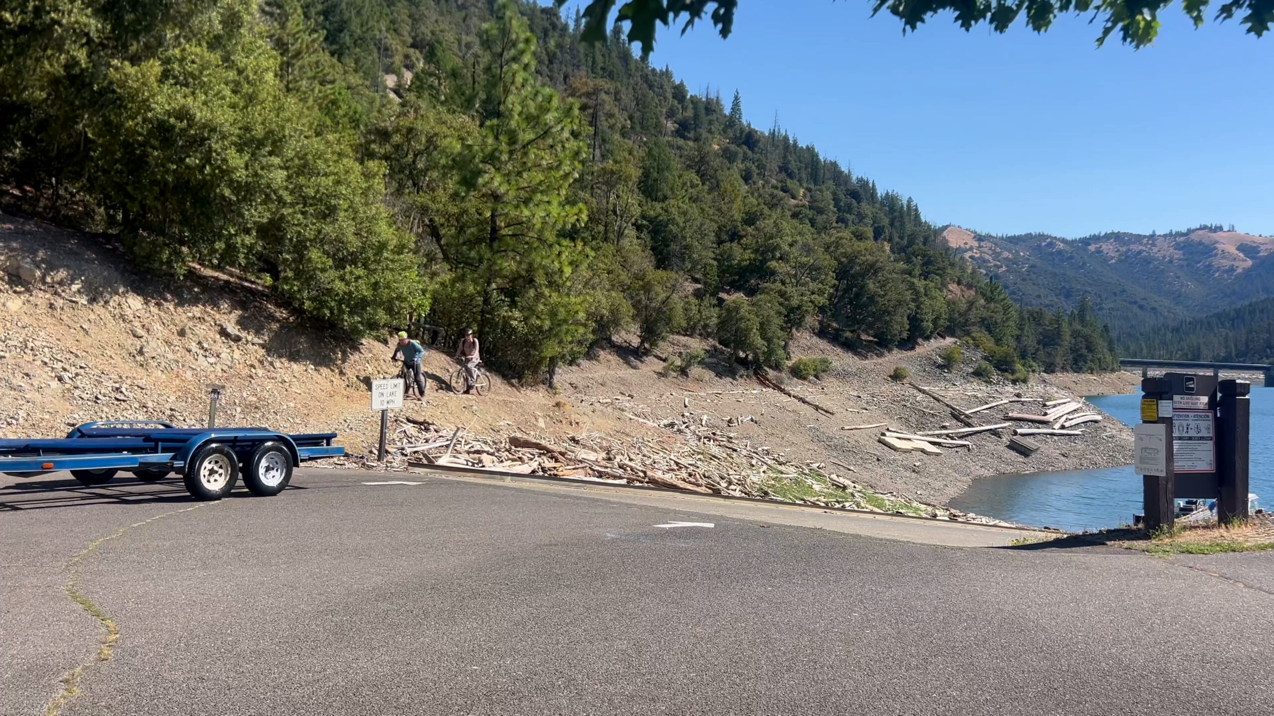
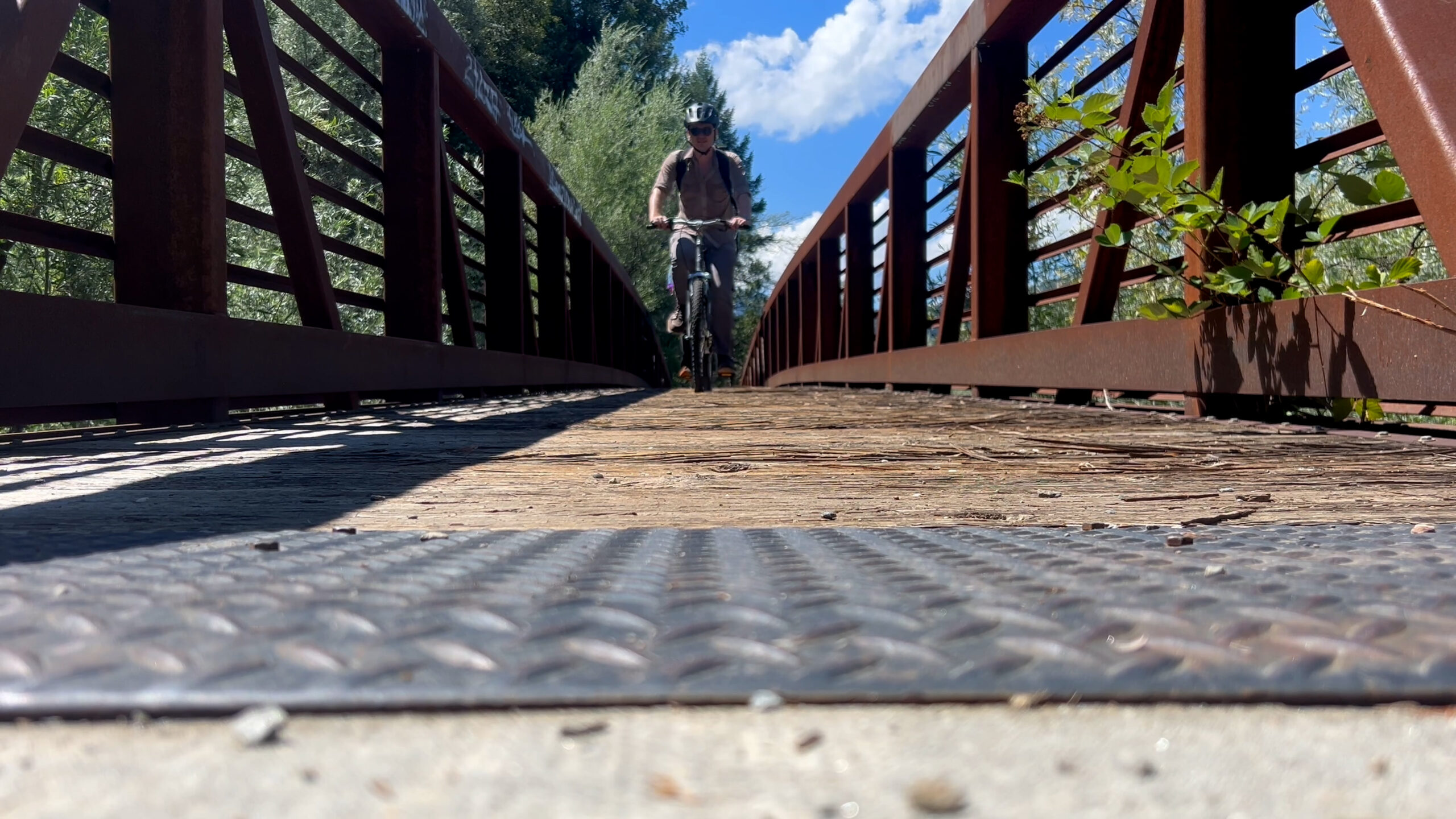
Emerging from the French Gulch trailhead into that parking lot ride to the road and head towards the dam. This ride is maybe 1 mile and you will cross the Applegate Lake dam and hit the main road. Turn left and then left into the parking lot where your car is parked. 18 miles. Boom.