
Upper Bull Gap/ Bandito Hike
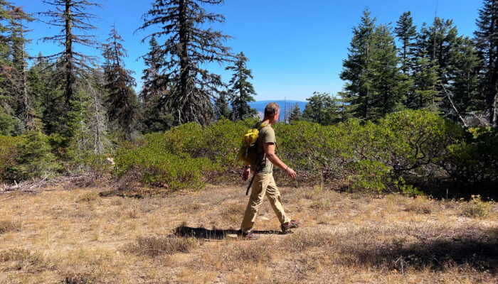
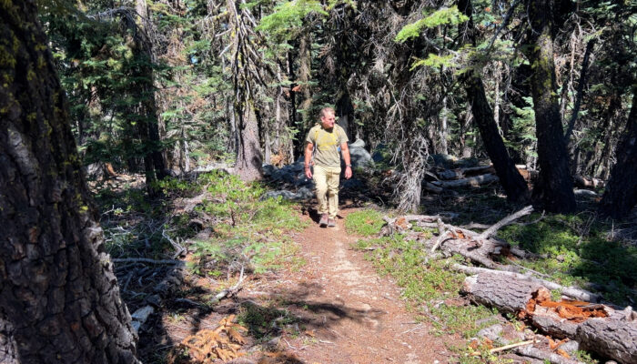
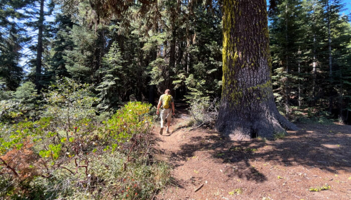
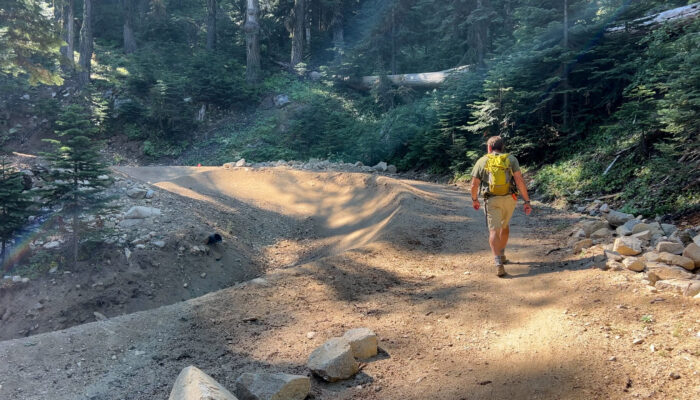
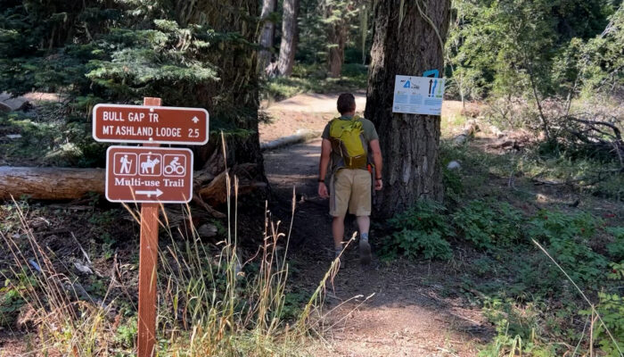
The Upper Bull Gap/ Bandito Hike is 4 miles of mixed use trail. Plenty of mountain bikers coming down but an interesting out and back with some unique side routes near the top of Mount Ashland.
YouTube Video
Google Maps
Driving
– This Bull Gap trailhead is a 20 minute drive from Exit 6 off of Interstate 5. Coming south you take Exit 6 and continue straight through te intersedtionat the bottomof the off ramp. In 1/2 mile there will be a right turn up Mt Ashland Ski Road. Take that windy road for 7 miles and before you reach the Ski Lodge there will be a significant paved, pull-out, parking area to your right. This is the Bull Gap turn off and there is no signage.
The yellow pipe gate at the back of the lot is open in the summer season so drive through that and begin down the dirt road. That could be Toleman Creek Road or Siskiyou Summit Road or Bull Gap Road. Doesn’t matter, there are zero signs.
3.5 miles downhill and you will pass a couple of side roads to ignore. At the Bull Gap intersection you will see a number of signs and significant trail crossings to your left.
Parking
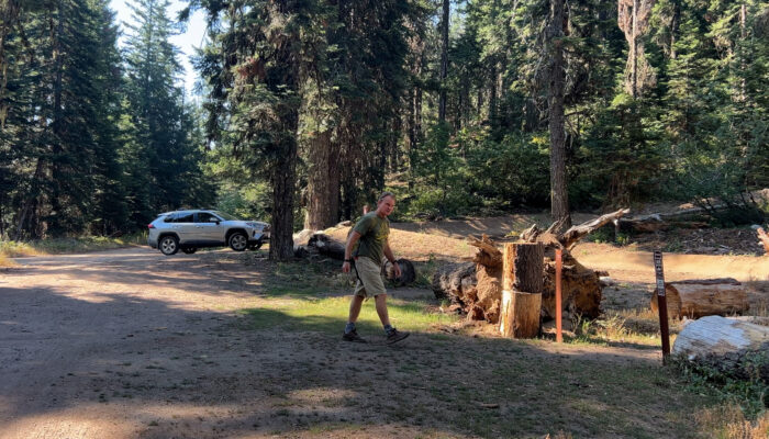
– There is a nice, dirt lot to the left but no real obvious parking strategy. Just pull in, be polite, and there are easily a dozen spots. This is not a commonly used parking area so enjoy!
Hiking
– This Bull Gap/ Bandito Trail Route is under 6 miles but you can make it less or more depending upon how much exploring you like to do. From the parking area find the multi-use trail to the right of the Mountain Bike downhill trail. The signage is great in this area.
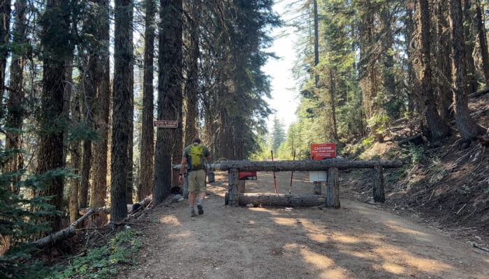
For the first 1 mile you are off to the side of the Mount A-Line Downhill Jump Track. Remember that mountain bikes who are skipping a particularly sketchy jump may use the multi-use trail so be prepared, to share. At the top of the Jump Track is a significant wooden timber vehicle barrier across the fire road with many signs. From that barrier continue up the fire road for a couple hundred yards and when the road makes a hairpin turn to the right, head straight forward instead.
There is no signage but the Bandito Trail emerges from around a large Ponderosa Pine. This is “semi-official” which means everyone knows about it but the Forest Service pretends that they don’t. Hike up 20 yards or so and there is a split where the right side is primarily the downhill mountain bike route. Take the left fork and continue uphill. Remember, this is unregulated territory. There may be mountain bikes. Be prepared, to share.
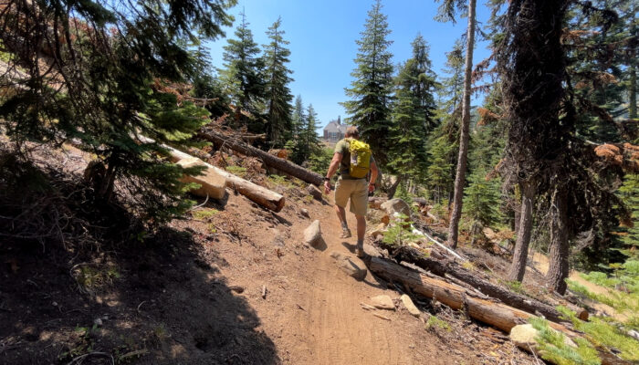
Uphill along this section of trail for about 1 mile is fantastic and at the top you do rejoin the Bandito Trail. It’s subtle so you may not even notice that the trail continues downhill to your right. If you do notice and would like, you can now head back downhill on Bandito. But remember… mountain bikes.
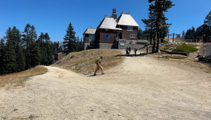
If you continue uphill, the Bandito Trail will emerge onto the Bull Gap fire road. Continue uphill for under 1/2 mile and you will arrive at the Ski Lodge. On the weekends the snack bar is open. Limited hours and snack options but it is indoors. And the restrooms are open. During the week? – Nothing open. No restrooms. No water spigot. Nothing.
So turn around and head back downhill. Take Bandito if you’d like or you can just hike down the Bull Gap fire road. Either way, when you reach that hairpin turn where we first jumped onto the Bandito Trail there is another hidden trail. This one is “double-secret-semi-official” which means that some group may decommission it soon because it’s too messy and erosive. For now, it’s a great half mile downhill shortcut back to your car.
5.5 miles. Boom.