Greyback Mountain Trail
The Greyback Mountain Trail is 8 miles of pure bitchen kick ass. It’s got a completely tricked out cabin and a fresh, year round mountain spring. Views at the top will blow your mind.
Driving
– It’s a 60 minute drive past Applegate – the city. Starting at exit 24 off the I-5 head into Phoenix. Turn right on Route 99 then quickly left on South Stage Road. Into the countryside towards Jacksonville. Drive through Jacksonville and continue on Route 238 past Ruch and past Applegate.
The second you cross the bridge over the Applegate River turn left on Thompson Creek Road. You are now about 24 miles into your drive. Thompson Creek Road runs for about 10 miles and then turns into a dirt road. Look for the smaller dirt road uphill to your right marked FS-1005. That road will last 4 miles until it dead ends into the Upper O’Brien Creek Trailhead.
Be aware, FS-1005 can get washed out or have tree falls that cut it off early so be prepared to add on some miles if that happens.
Parking
– Pretty good amount of dirt spaces all along the road towards the trailhead. However there are no facilities at all.
Hiking
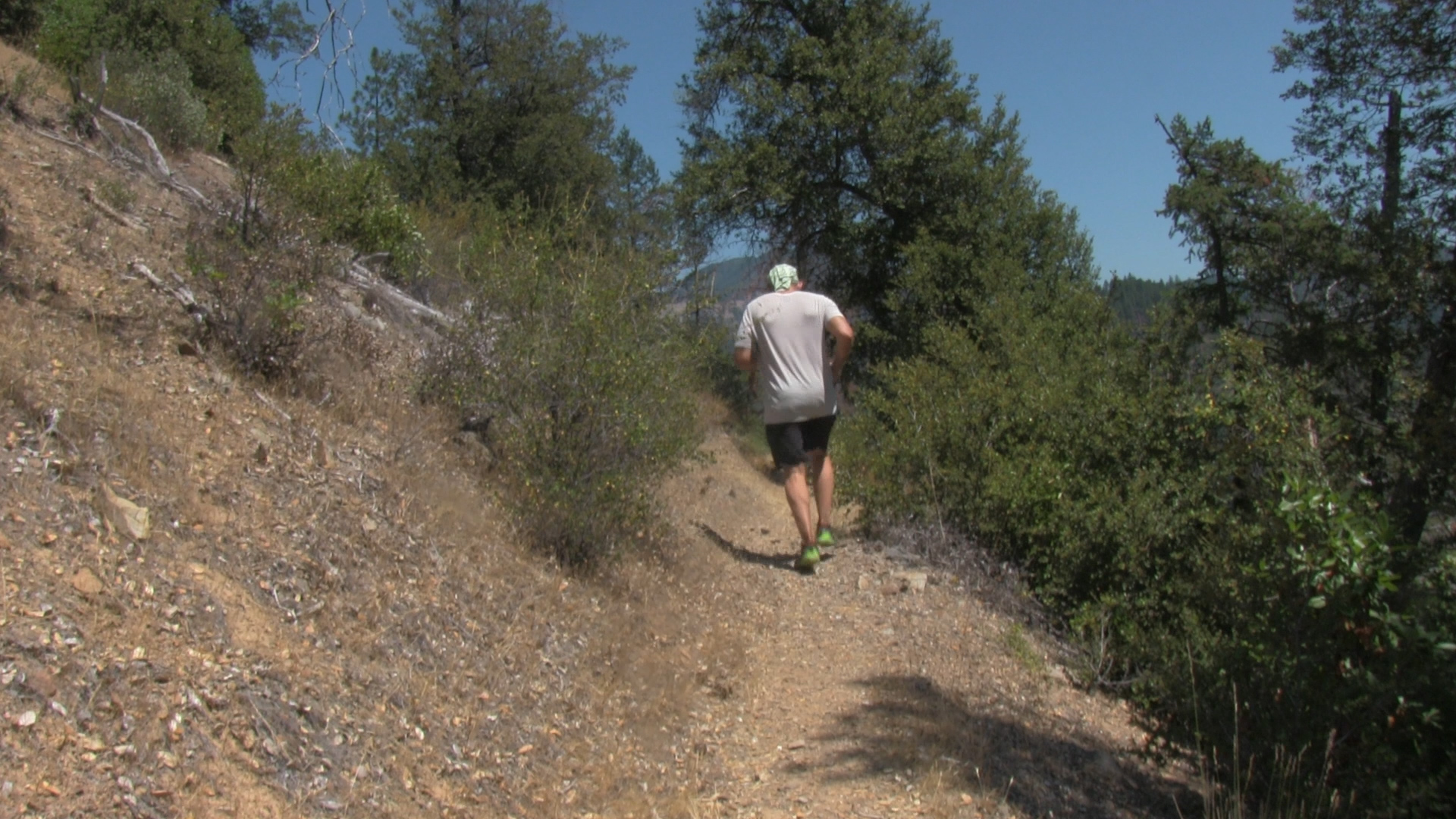
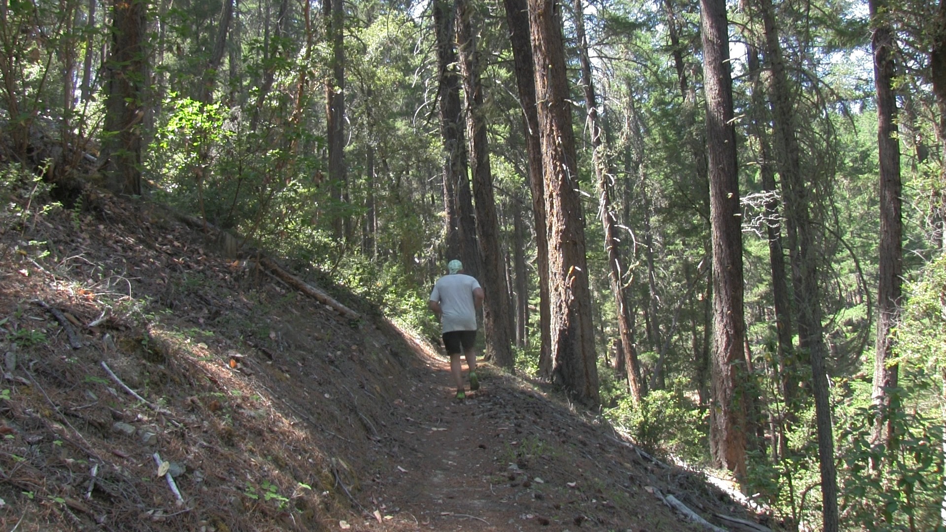
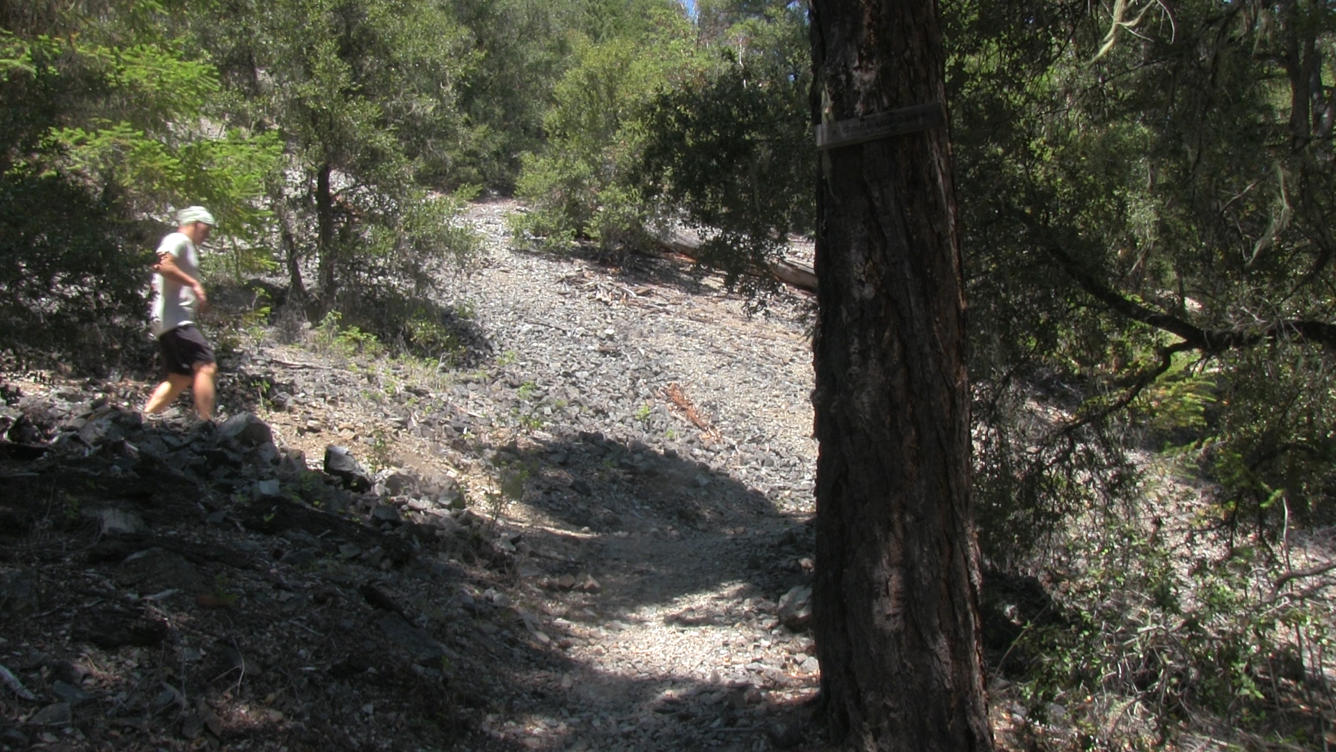
– Technically we are starting at the Upper O’Brien Creek trailhead. It starts as a steady uphill and in about 1 mile you’ll hit a sign at an intersection. It just says Boundary Trail but what it should say is, “300 yards to the left is this kick-ass cabin. You gotta go!” It is and you do. First come first serve camping inside but it has extra everything if you wanted to cook an Elk or escape from a snowstorm for 5 days.
Okay, back to the hike. Return to the trail sign and return to your uphill slog. After another mile a bigger sign appears at the next intersection (if it survives the 2024-2025 winter. It was almost on the ground this year) Turn left and in about 1/2 mile you will arrive at Cold Spring. It’s not super obvious but when you see the “Entry By Permit Only” sign to your right, take a couple strides downhill to your left and voila! Cold Spring.
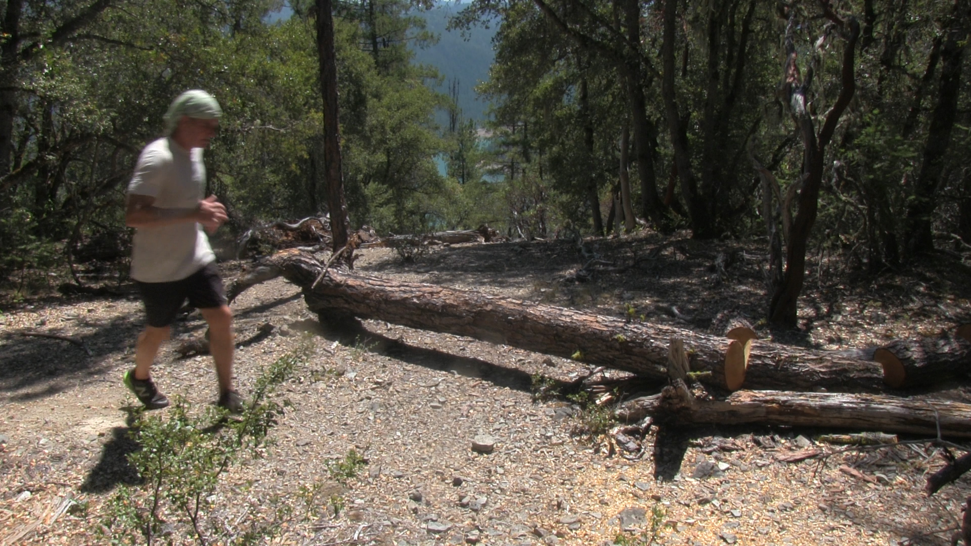
Fill up your canteen with fresh mountain spring water and back to the crooked sign. This time head to your right uphill. I went in July and there were still plenty of dead falls to crawl over. In about a mile and a half you emerge onto an open, grassy hilltop. It’s actually a saddle between Greyback Mountain about 1 mile to your left and Big Sugarloaf Peak about 100 yards to your right.
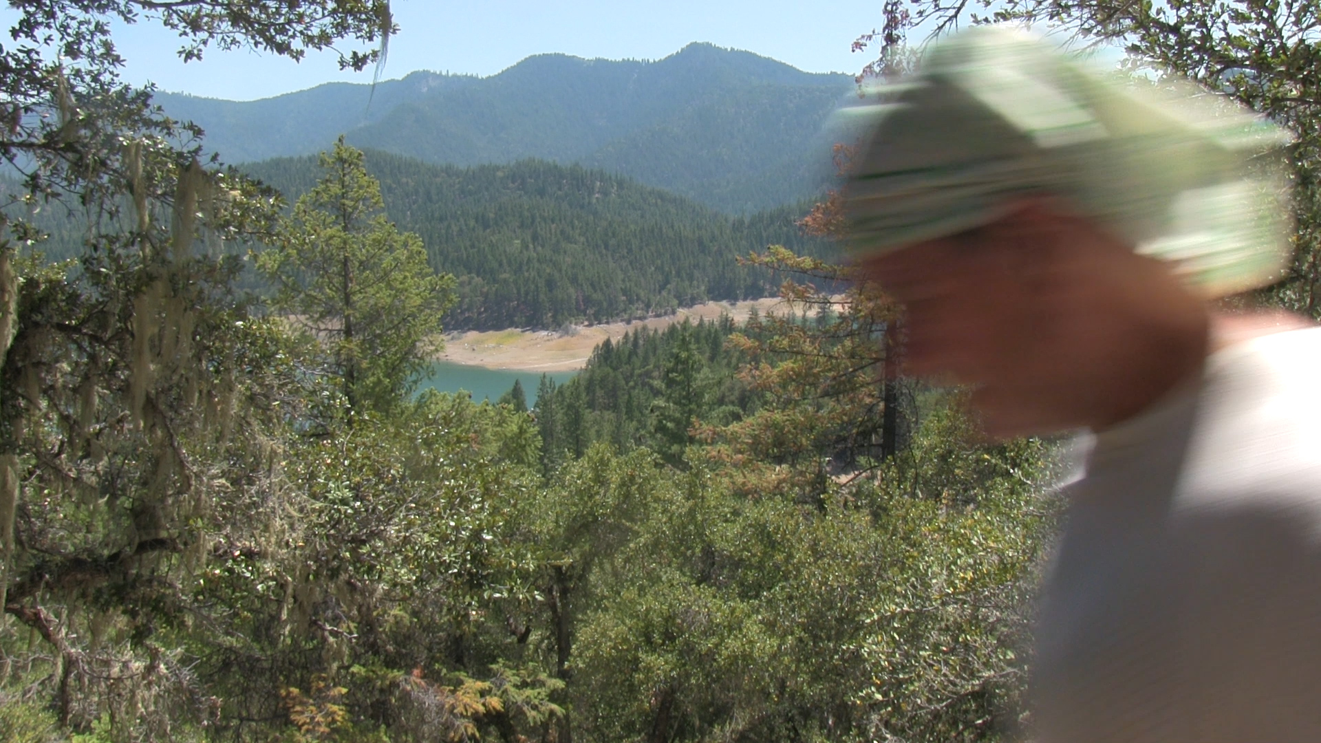
It’s kind of bushwacky up to Greyback so if you’ve become “tick averse” like I have, head to your right and enjoy the windy 360 degree views OF Greyback Mountain FROM Big Sugarloaf Peak. It’ pretty fantastic. Honestly, there’s something about the view from the top of the open field. It’s got the complete Julie Andrews/ Sound of Music vibe. Wunderbar!

