Jacksonville Forest Park
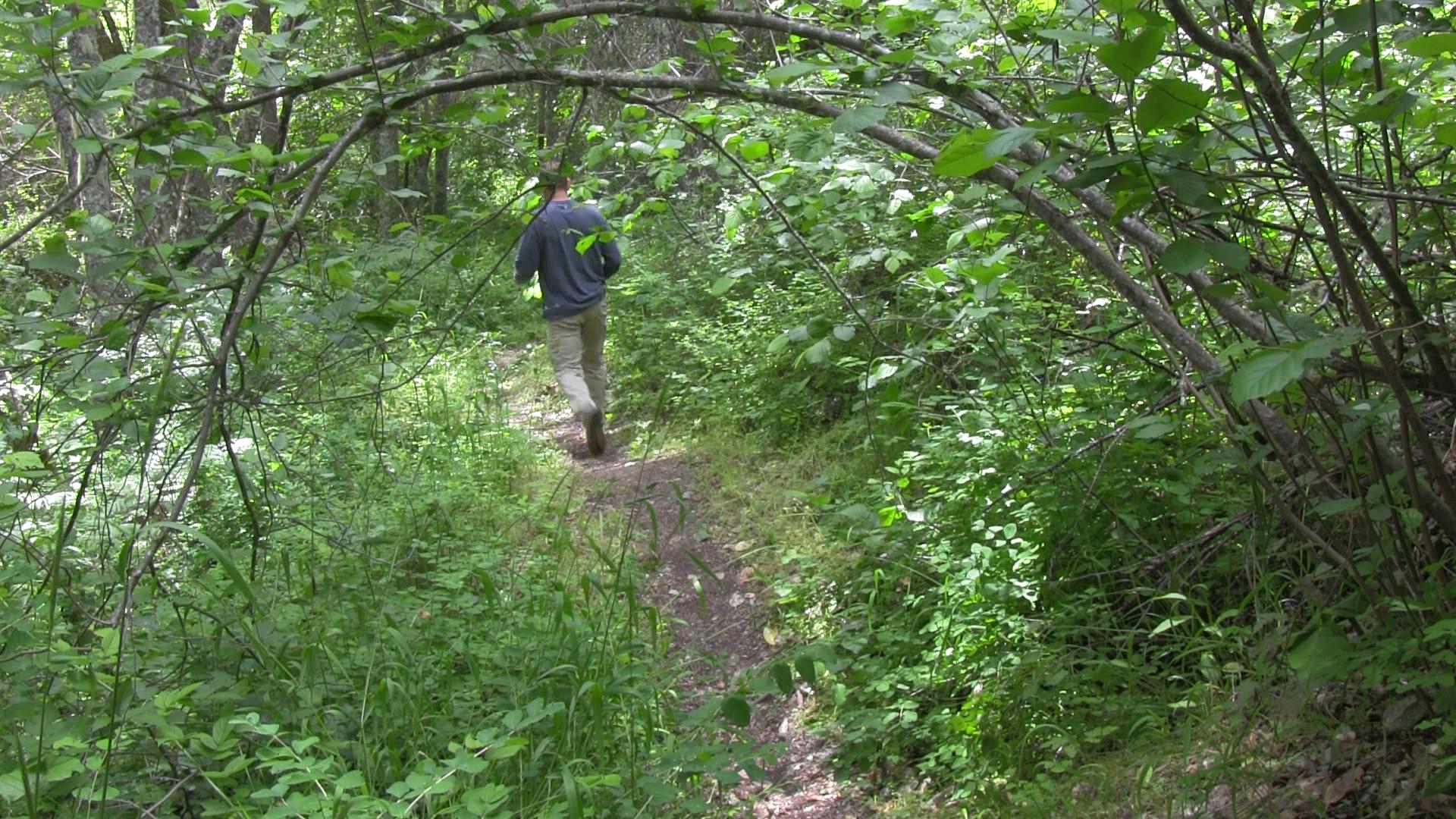
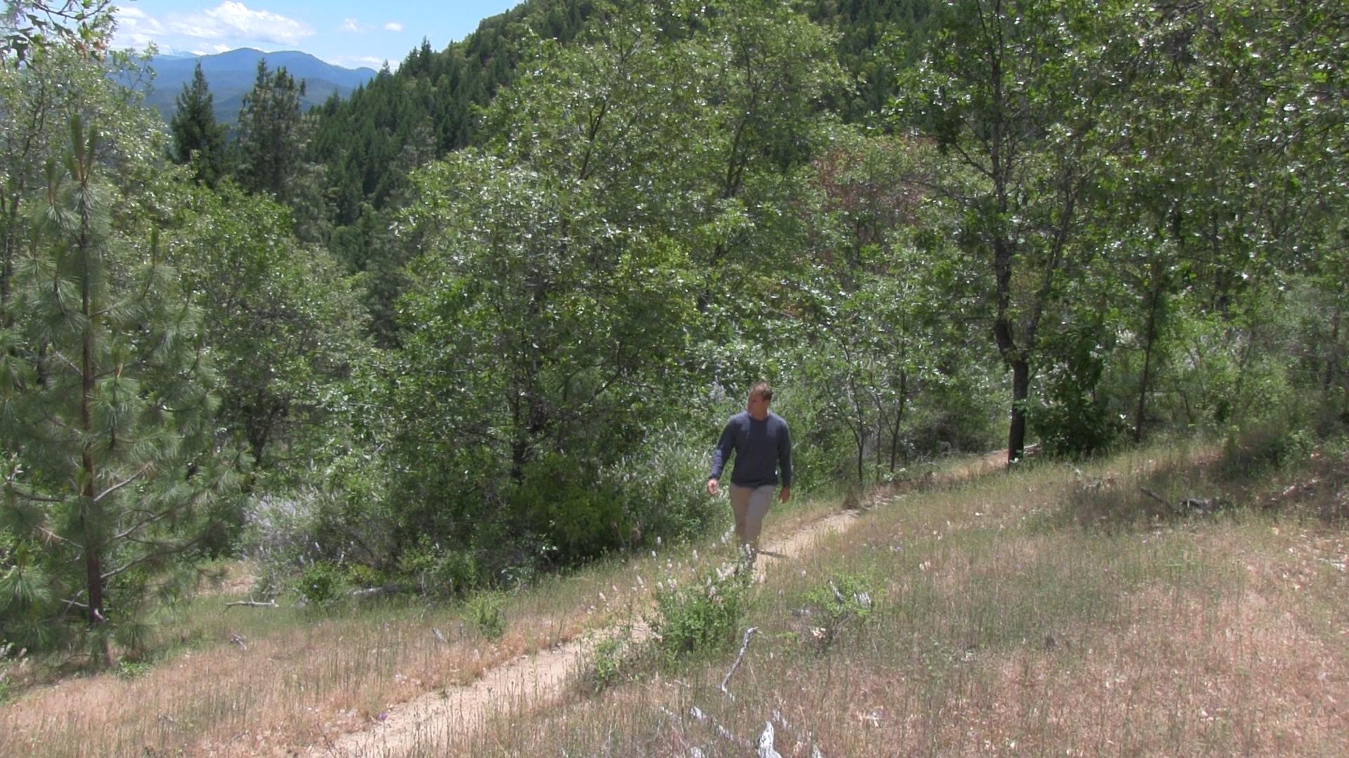
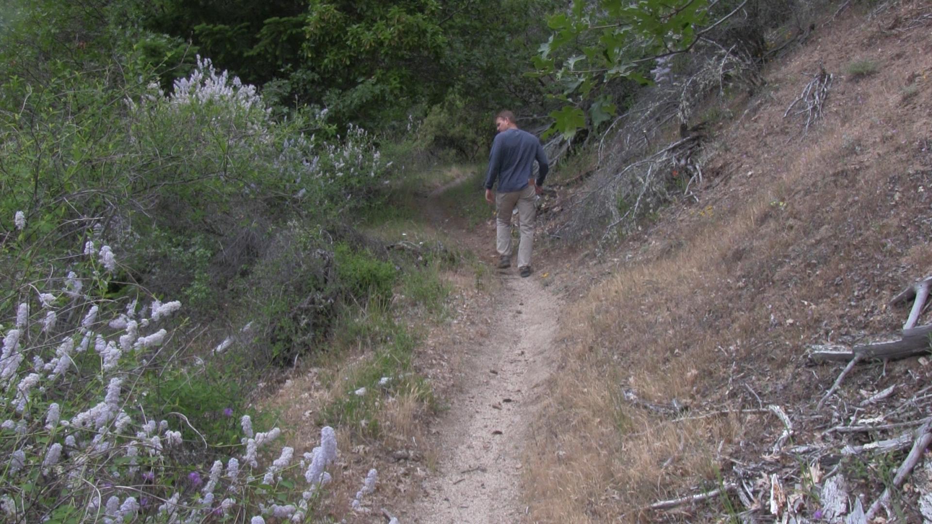
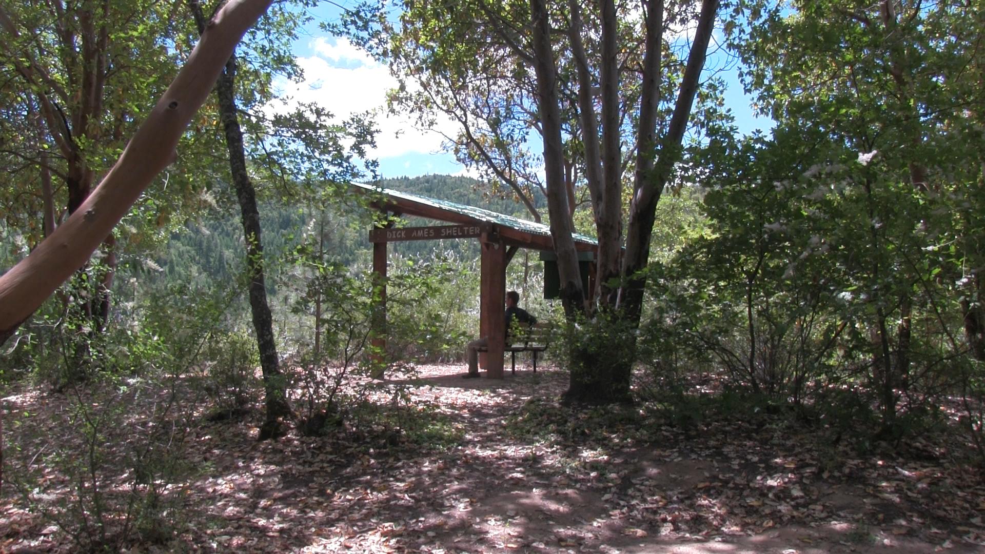
Jacksonville Forest Park is a web of over 30 miles of trails. Half in cool creek beds, half on open oak hillsides. Just 2 miles west of Jacksonville.
Driving
– From Ashland Plaza head north towards Medford on Siskiyou/ Route 99. Right on Valley View to Interstate 5 and take that north towards Medford. Exit at the Phoenix offramp and turn left, then turn right and you’re back on Siskiyou/ Route 99. (yes, you could avoid the 5 freeway if you have 10 extra minutes of life you want to just throw away…)
Look carefully for South Stage Road and signs for Jacksonville. Turn left on South Stage and you are 20 minutes from Jacksonville. You will dead end into Griffin Creek Road – turn right – then dead end into South Stage Road again – turn left. You will wind past pear trees and wineries as the road becomes California Street as it enters Jacksonville. Continue straight through Jacksonville, past the Jacksonville Woodland Trails, and 2 miles past the last stoplight turn right on Jacksonville Reservoir Road. Then, about a mile of gravel and asphalt up to the first Parking area.
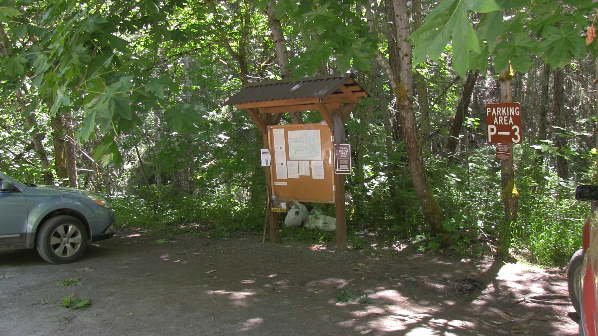
Parking
– There are 7 designated parking areas throughout the park with room for 5 to 12 cars. They are located near clusters of trail heads.
The Trail
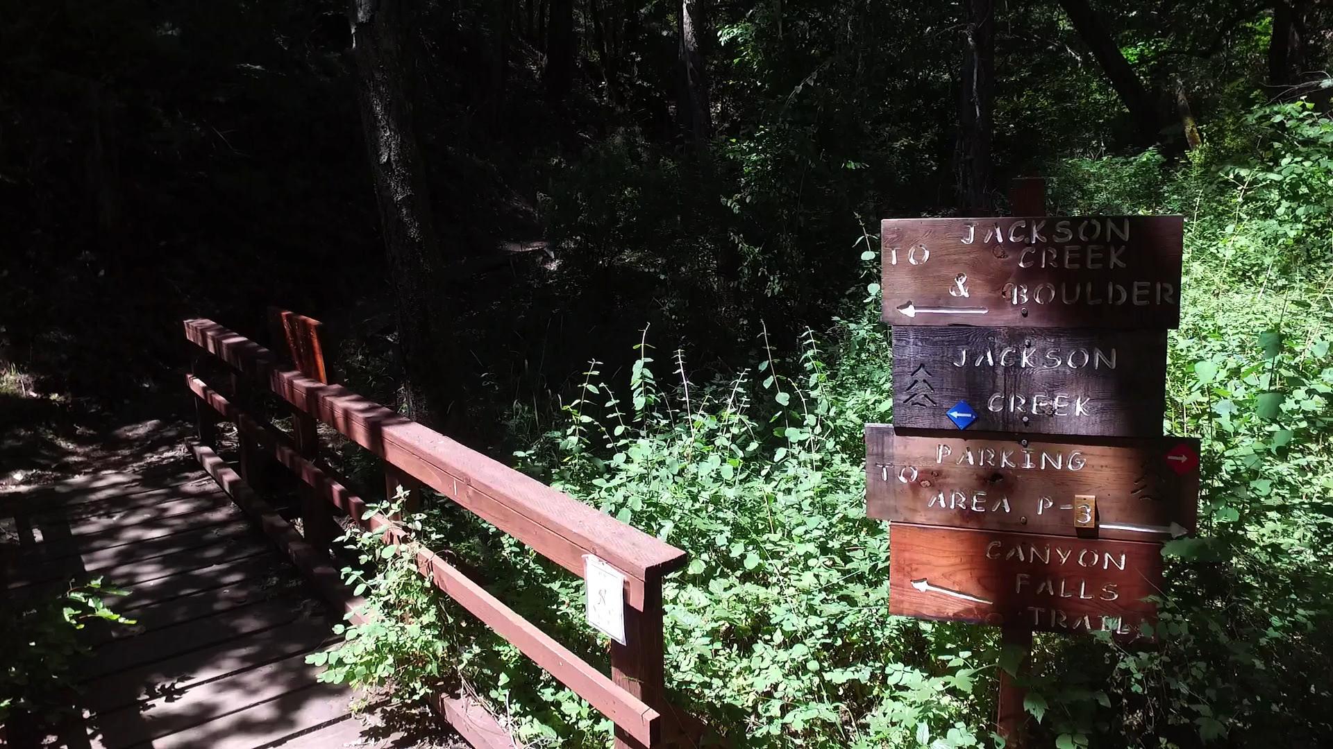
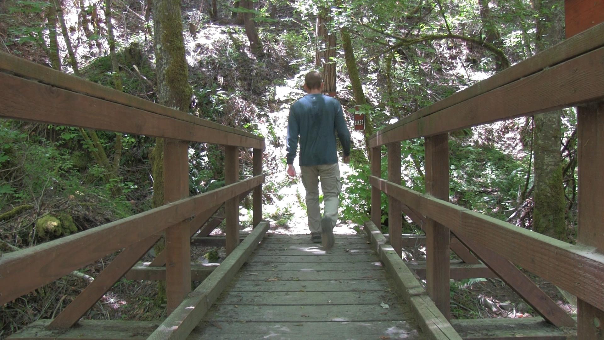
– Jacksonville Forest Park is 24 trails. Most are only a mile or two and they all lead back to the main gravel road that runs through the park. So when you’re done hiking, you can just find the road, and walk back to your car. Any words I use here will pale in comparison to the maps in the park. Maps and signs are posted all over the place. Almost every remote intersection has a sign and a map. It’s kinda great and kinda crazy.
There are some designated mountain biking trails, so if that’s your thing, you should try it out. I’d say the mountain biking in Jacksonville Forest Park is similar to the views in Jacksonville Forest Park – Mediocre. The Rogue Valley has many nicer areas… but this is fine.

