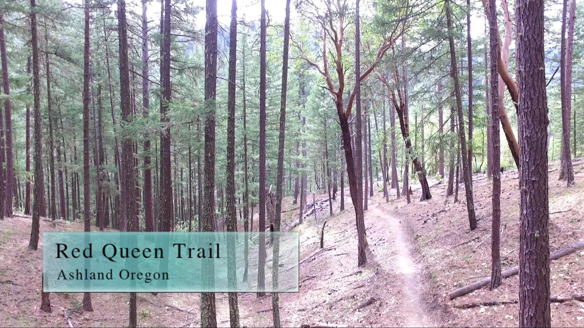
Red Queen 2016
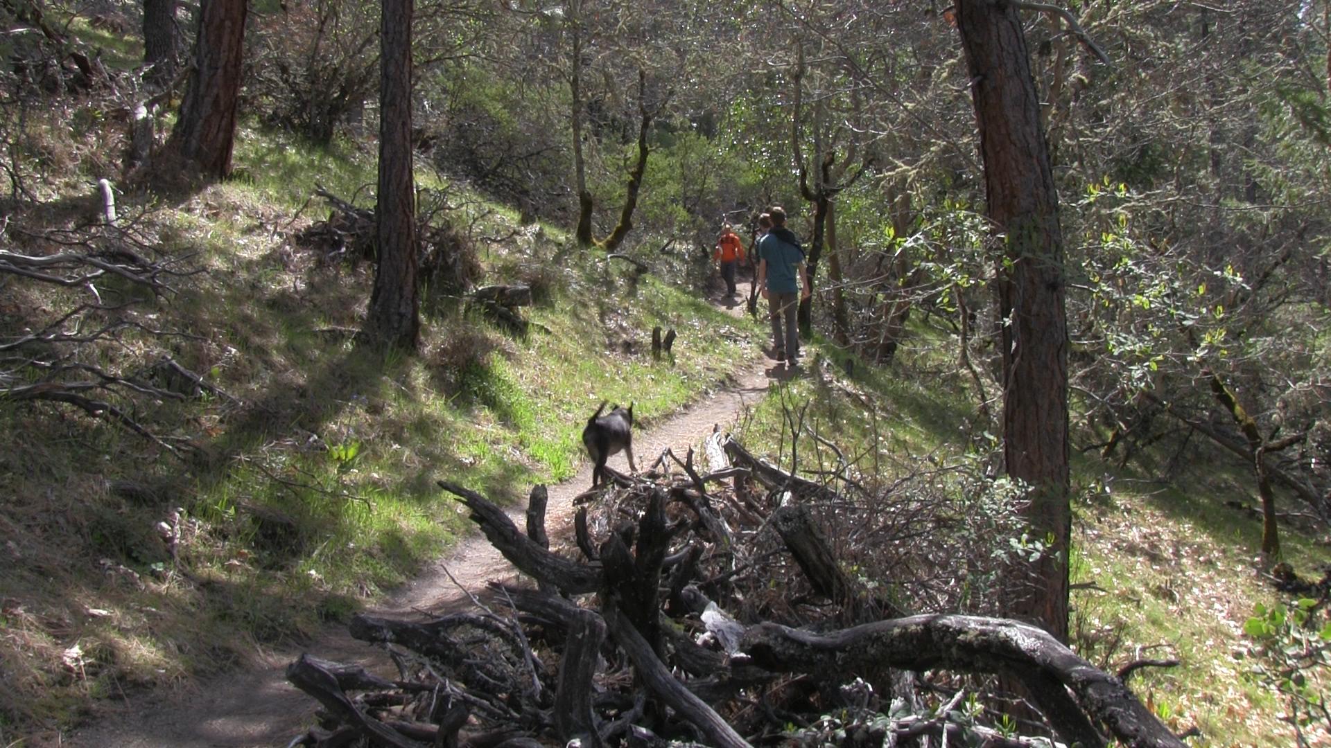
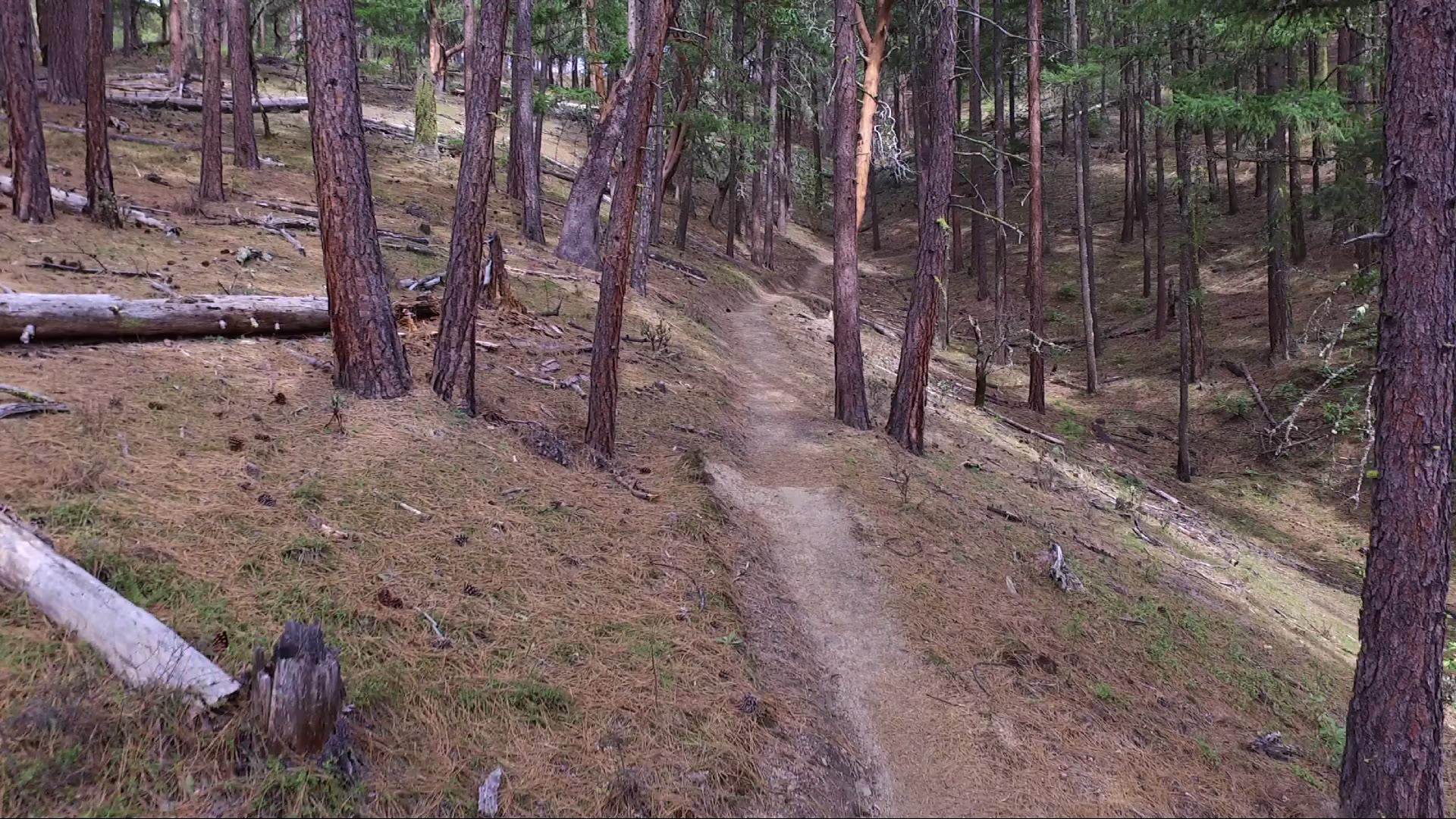
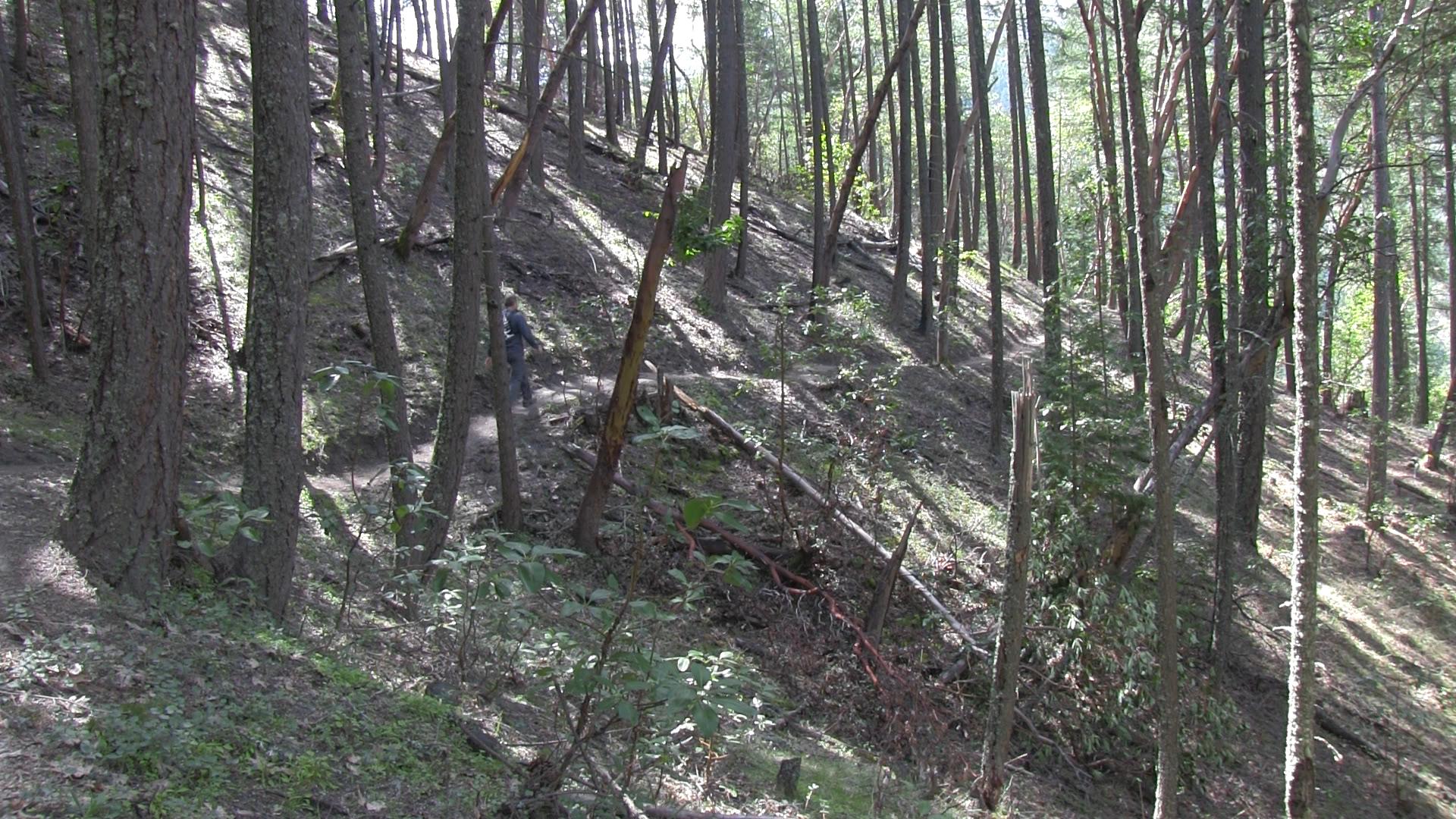
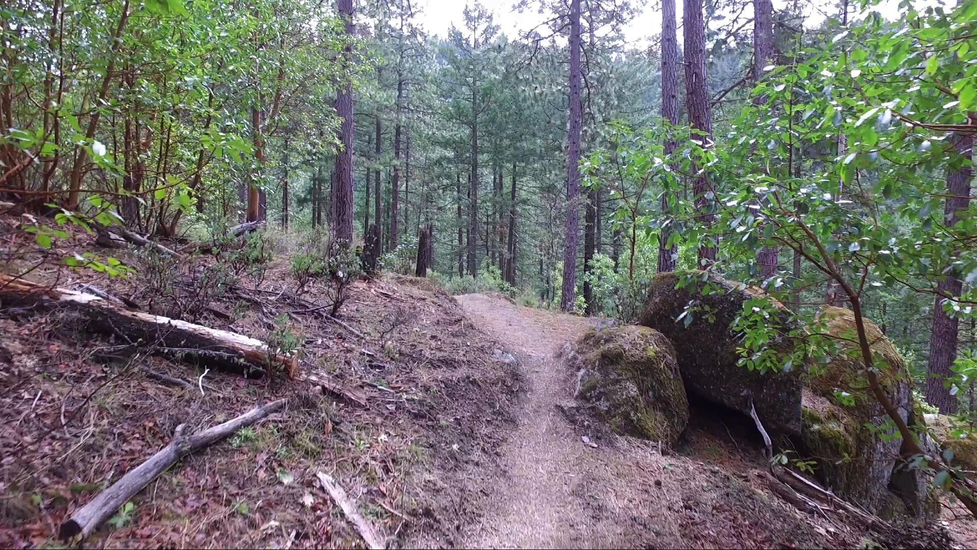
The Red Queen Trail is new and improved as of Fall 2016. It’s 2.5 miles of gentle uphill goodness that allows you to avoid all the weirdos clogging up Ashland Loop Road.
Driving
– A 2 minute drive from Ashland Plaza. Head south through town on main street and turn right on Gresham at the library. You’ll dead end into Holly so turn right. Up that steep hill and you dead end into Terrace where you’ll turn left. Terrace hits Ashland Loop Road at the top of the hill and you’ll turn left at that round concrete cookie AKA the Crowson Reservoir.
Parking
– Park on the side of the road just past the UFO shaped reservoir.
The Adventure
– About 5 miles out and back (if you parked where I told you to). Could be a 1 hour run, or a 3 hour hike, depending upon how much of hurry you’re in and when you had your last cigarette.
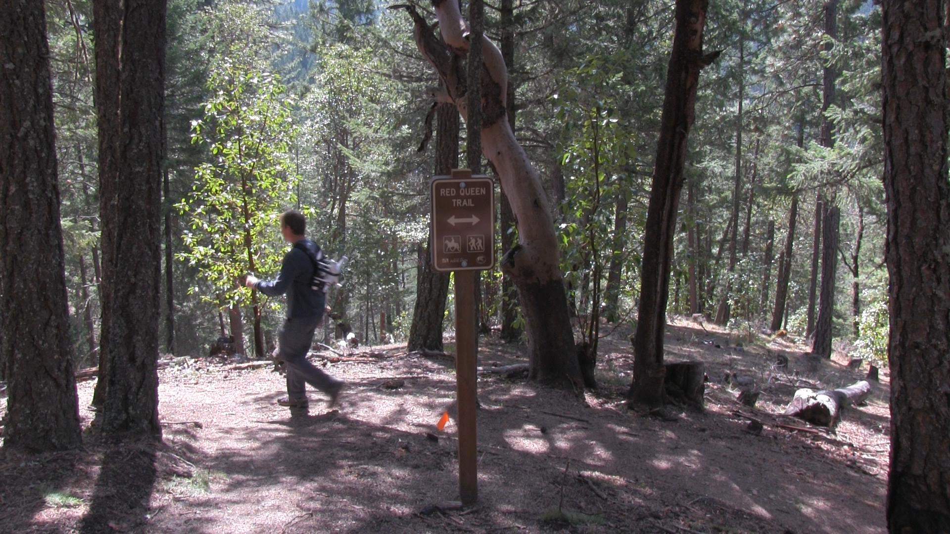
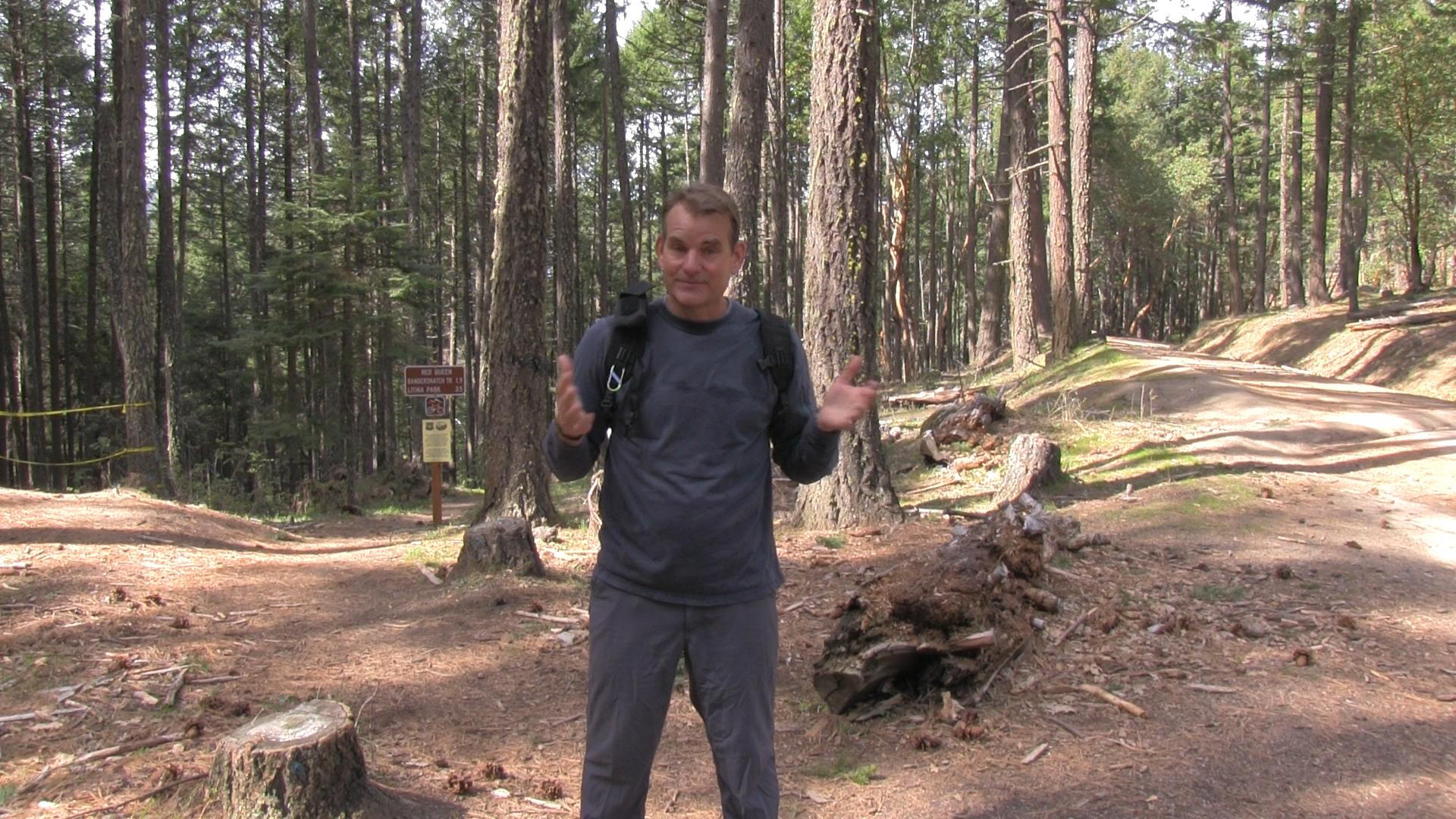
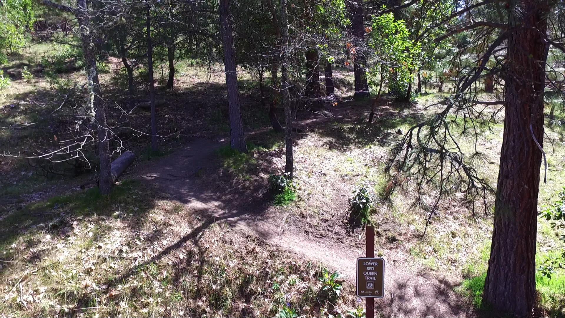
The newly renamed “Lower Red Queen Trail” has a new sign just above the giant cement disk AKA Crowson Reservoir. The old deer trail is now a human trail, thank you AshlandTrails.org. So long fallen trees and homeless camps! However, the hill is still just as steep as it always was. You will break a sweat right off the bat. Thanks for nothin AshlandTrails.org.
About 1/2 mile in, you’ll cross the BTI mountain bike trail. There’s a little trail called Jub Jub uphill to the left, but that’s tiny and boring. Staying on the Red Queen Trail, you’ll join The Bandersnatch Trail for a hundred yards or so and then, you’ll see Snark Trail split off downhill to the right. Seconds later Bandersnatch splits off uphill to the left. Good riddance to those loser trails, continue along the gently rising Red Queen Trail.
Within a quarter mile, the new Gryphon trail splits uphill and reconnects with Bandersnatch. I’m trying to think of a reason to use it…. nope, no reason. Maybe if you think “Bandersnatch” sounds dirty and you want to avoid it as much as possible? Well, it’s some gratuitous variety for you anyway.
Continuing on the new Red Queen, you’ll have over a mile of gentle uphill until you reach the Ashland Loop Fire road. There, you’ll be able to hop on the Caterpillar trail. Maybe up to Lewis Loop, or just the fire road down to the White Rabbit Trail Head.
There is some equestrian action on the trail so for you city folk, people are not riding giant dogs, those are horses. And as is appropriate, the mountain bikers will be below you. You may see them on the Jabberwocky Trail which runs roughly parallel to Red Queen.

Nice accurate info. Thanks and thanks for giving me the distance, 5 miles round trip. Perfect my pup Louie and me.