
Mt. Eddy
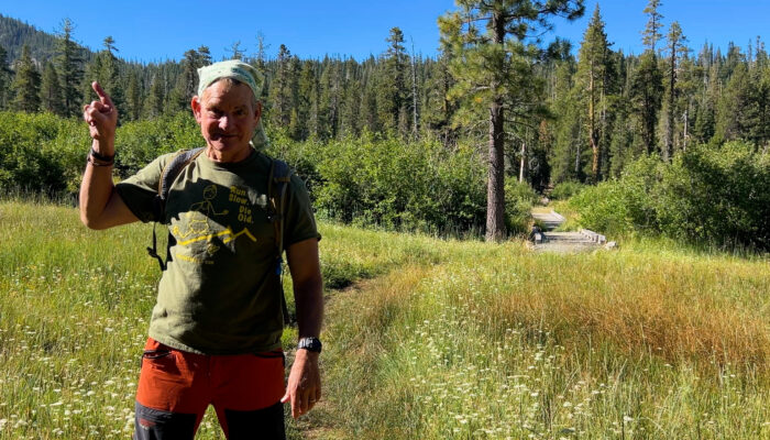
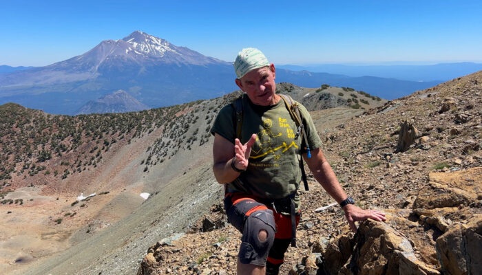
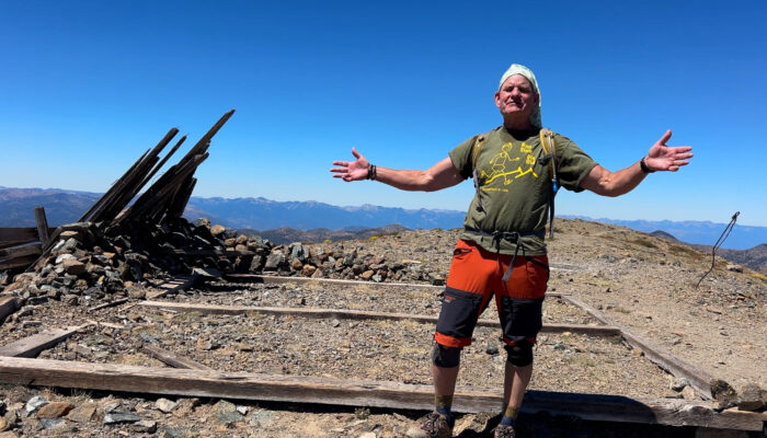
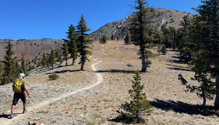
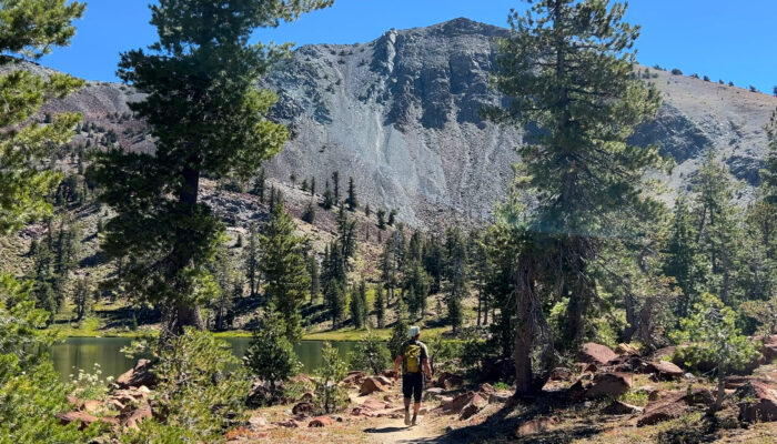
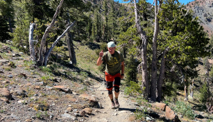
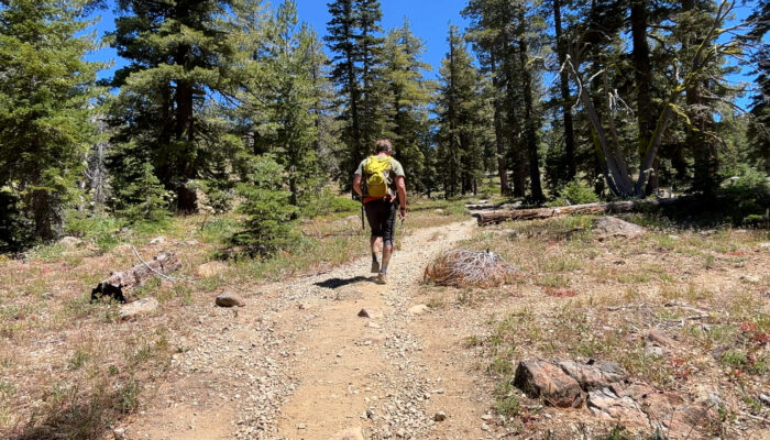
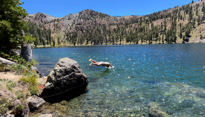
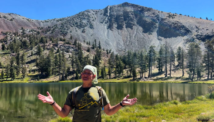
The Mt. Eddy Trail is an 8 mile out and back. Moderate to difficult trail with a fantastic swimming lake half way up.
YouTube Video

Google Maps
Driving
– 1 hour and 45 minutes from Exit 14 in Ashland. Take I-5 south to California and before Weed take exit 751. Turn right and then right towards Stewart Springs. You are on Hwy 99 and the first left is Stewart Springs Road so turn left. There is no sign. Trust me and/or your Google Map.
3 miles and then turn right on FS 17. 10 miles of windy road (but paved!) and the significant Park Creek Trailhead parking on your left is inviting but don’t take it! One more mile downhill takes you to the trailhead to your left and the dirt parking lot to your right.
Parking
– It’s a dirt lot with maybe 12 spots. If you arrive late on a busy weekend you may end up parking along the road. It’s not terrible. Don’t fret about it.
Hiking
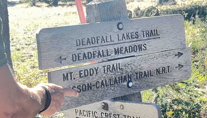
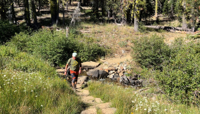
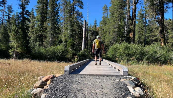
– The trailhead is actually called The Deadfall Meadows Trailhead. There is a nice sign across the street from your parking lot. The first mile weaves through a meadow and across a stream over and over again. At 1.5 miles you cross the PCT and a couple hundred yards past that keep you eyes open to the right.
There is no sign but if you’ve ever been on a mountain trail before, you will feel the large opening to the right. You won’t see the lake, but a decent trail takes off to the right and that quickly begins to fork into many “paths” towards Deadfall Lake. Honestly, you could swim and fish and play here all day and then just go home. A pretty good day.
However, continuing to Mount Eddy we take a path that leads back to the main trail. Back uphill we go and in one more mile we come to another lake. Another Deadfall Lake? I think so. They might all be called Deadfall up here. So around the lake and uphill we go.
At mile 3 we hit the ridge and turn left at the olde timey sign. The trees are gone and you can see the switchbacks all the way up to the top of Mount Eddy. One more mile of switchbacks at you arrive at the summit with a view of Mount Shasta. It’s an okay view of Shasta. The viewpoint off of Interstate 5 is probably better but… you suffered a little for this so that makes it better? Sure. Let’s say that.
8 miles. Lakes. Views. Boom.