
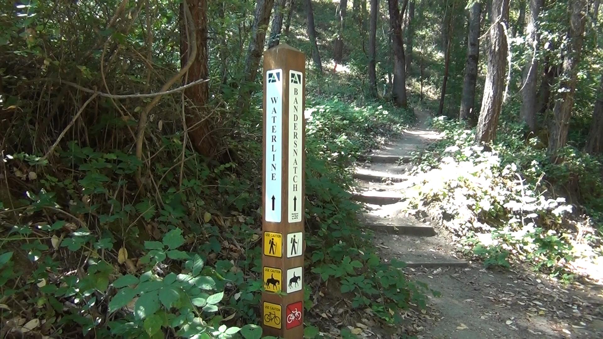
Bandersnatch Trail
The Bandersnatch Trail is a hiking only, 3 to 6 mile, uphill trail at the far end of Lithia Park. It’s an Ashland classic!
Driving
– From Ashland Plaza take a 7 minute drive along Lithia Park on Windburn Way and the Granite Street. Stay to your left around the swimming hole and you will see a non-descrpt dirt pull out to your right.
Parking
– The parking “lot” has room for maybe 8 cars, maybe. But you can just park on the side of the road in a number of places nearby if need be.
The Trail
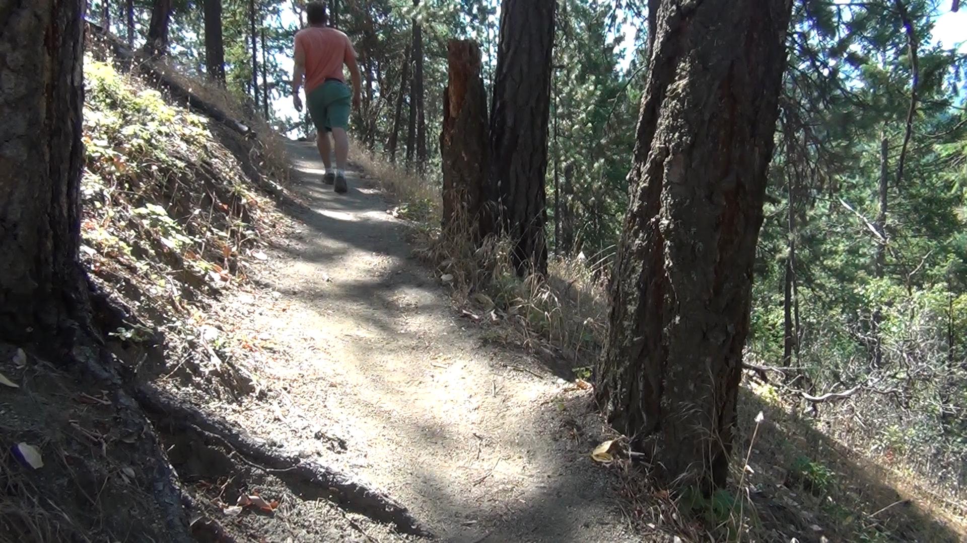
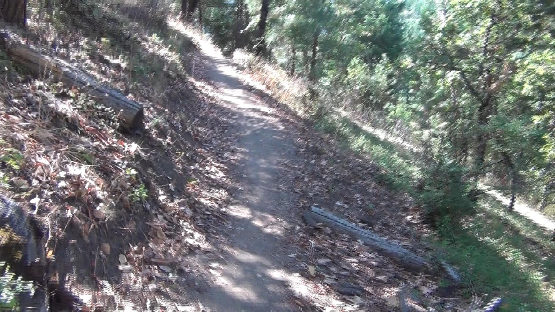
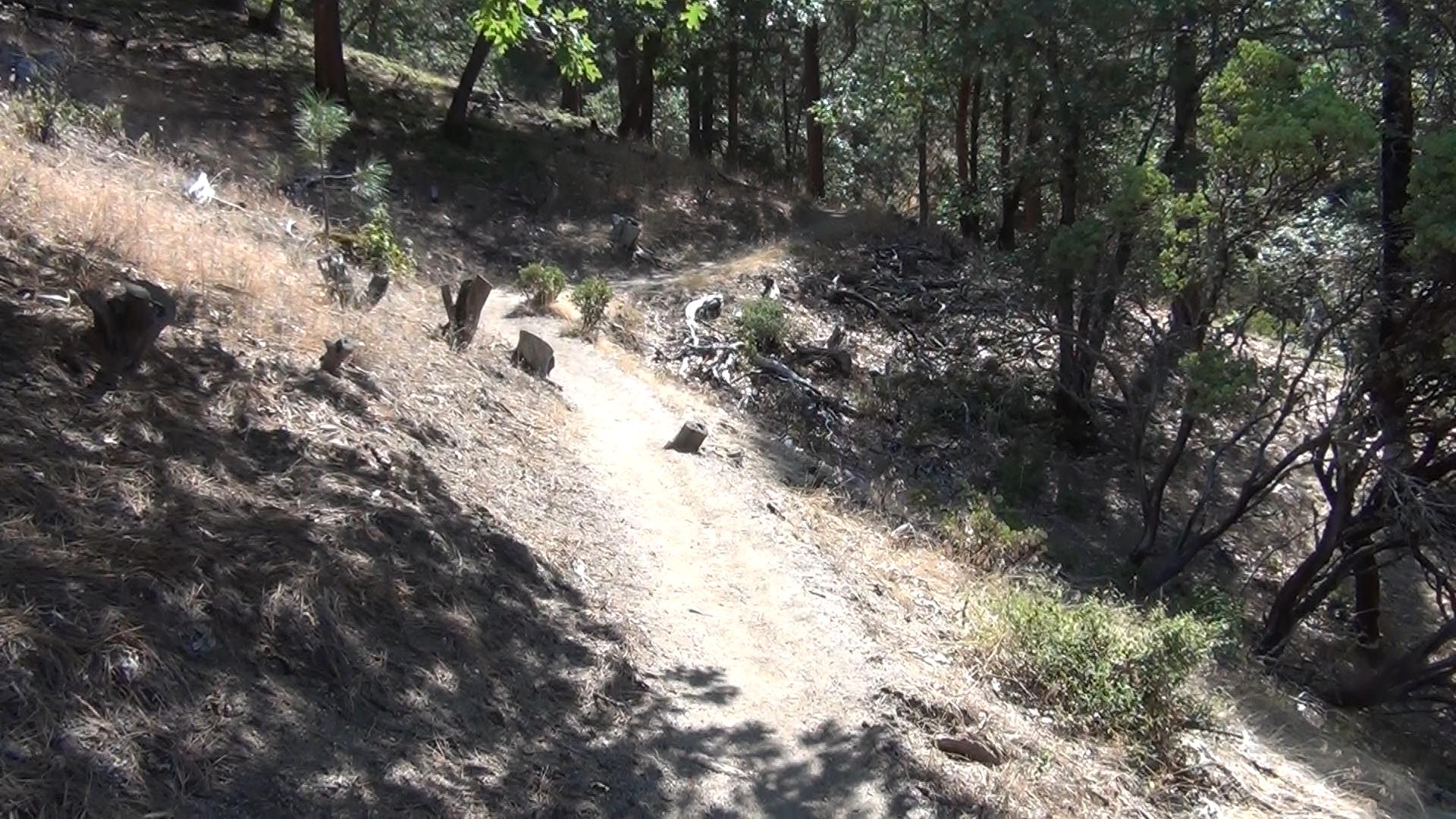
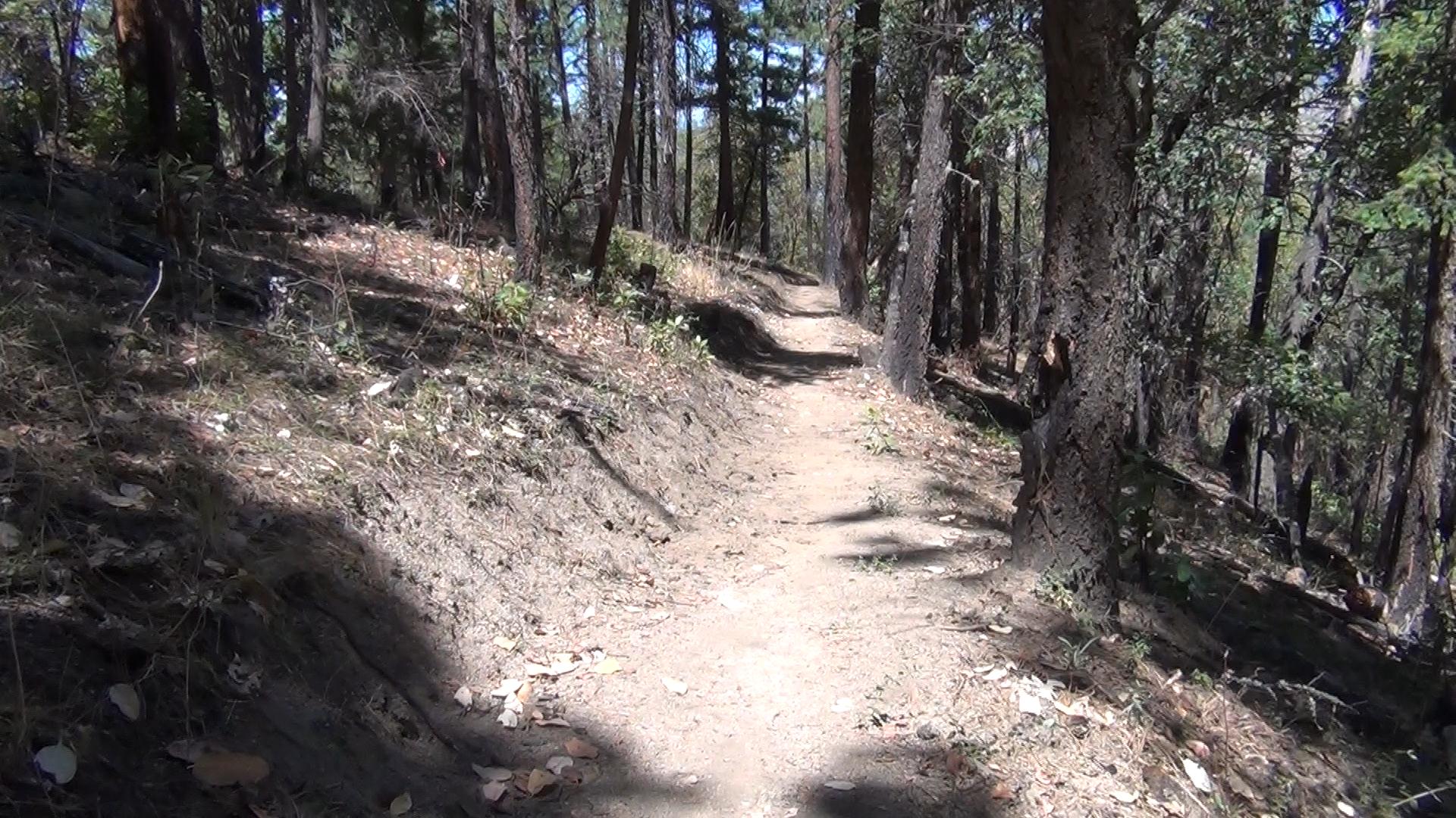
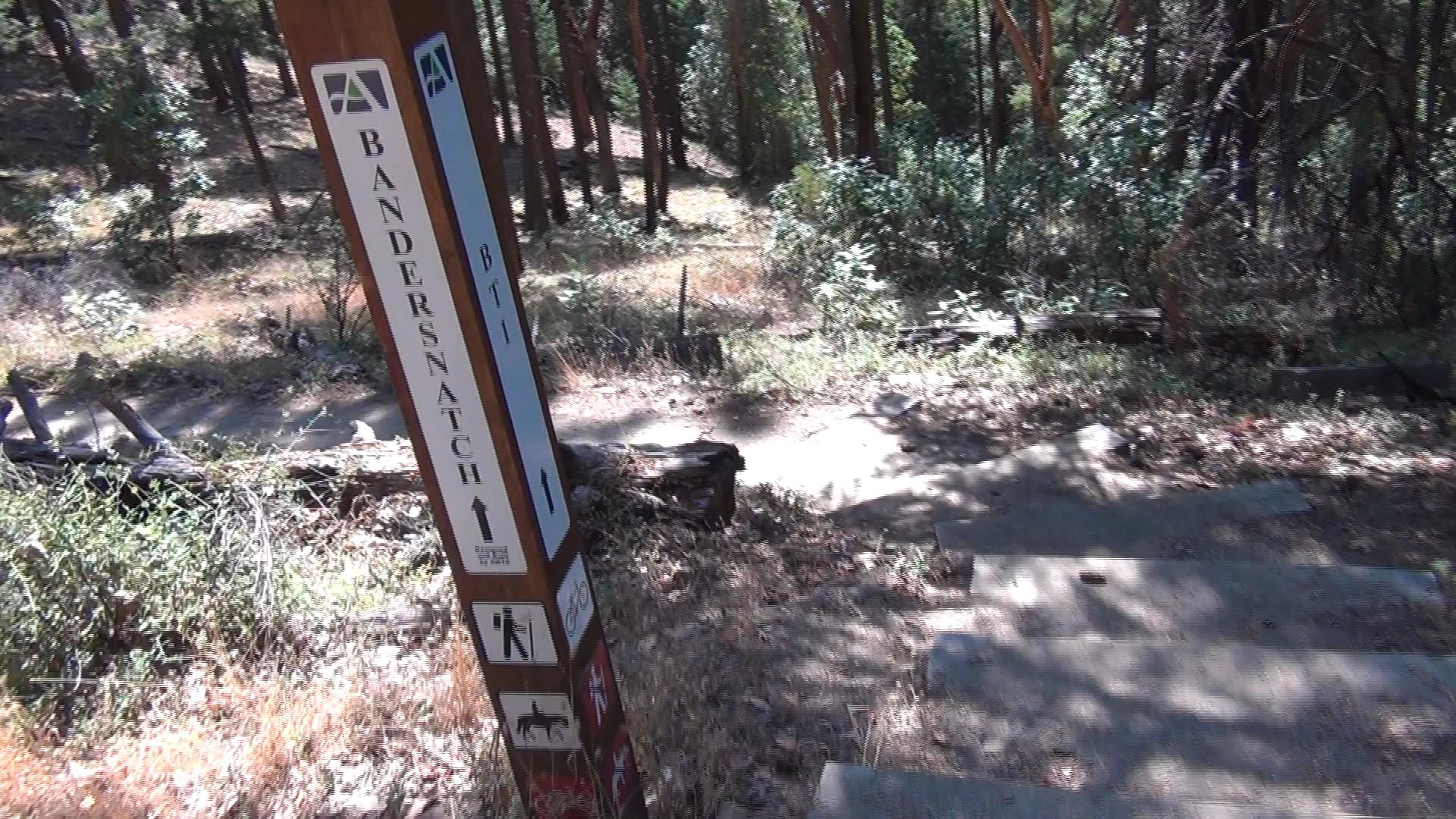
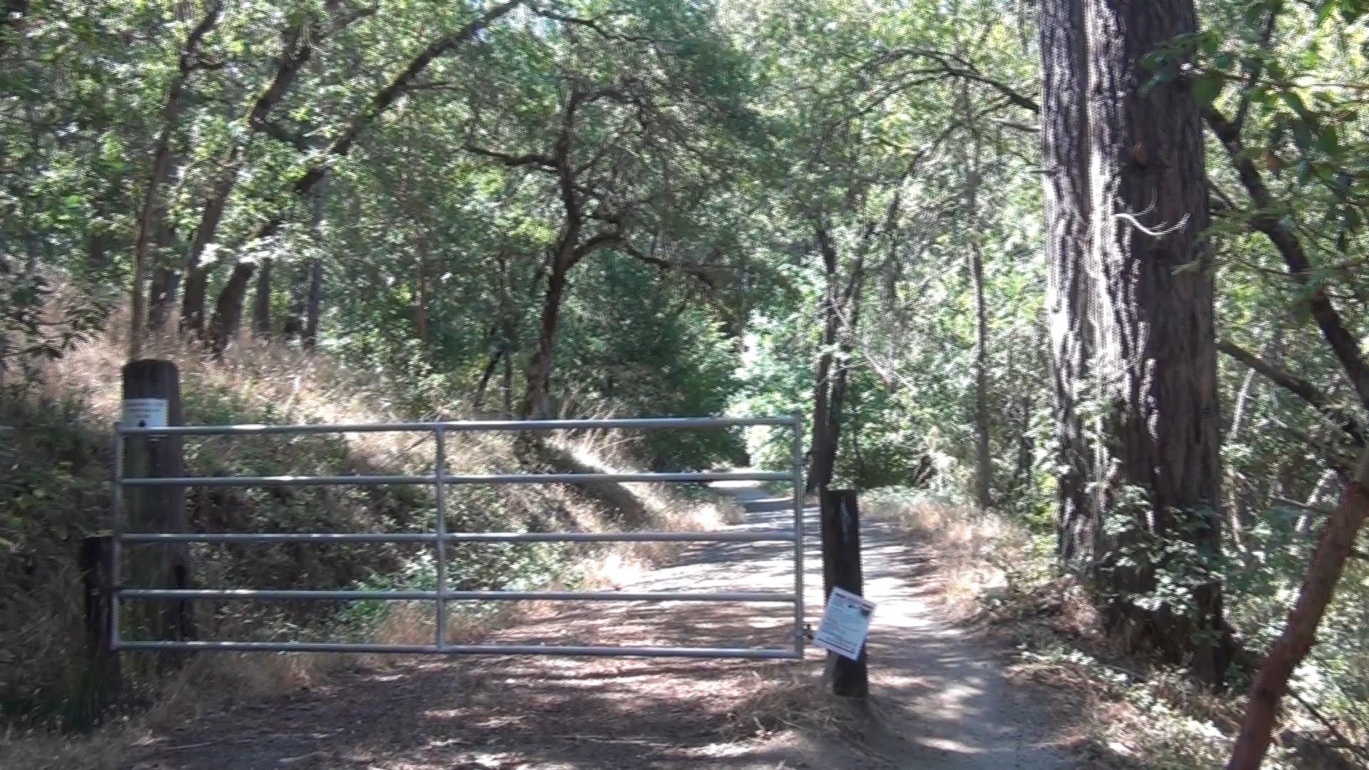
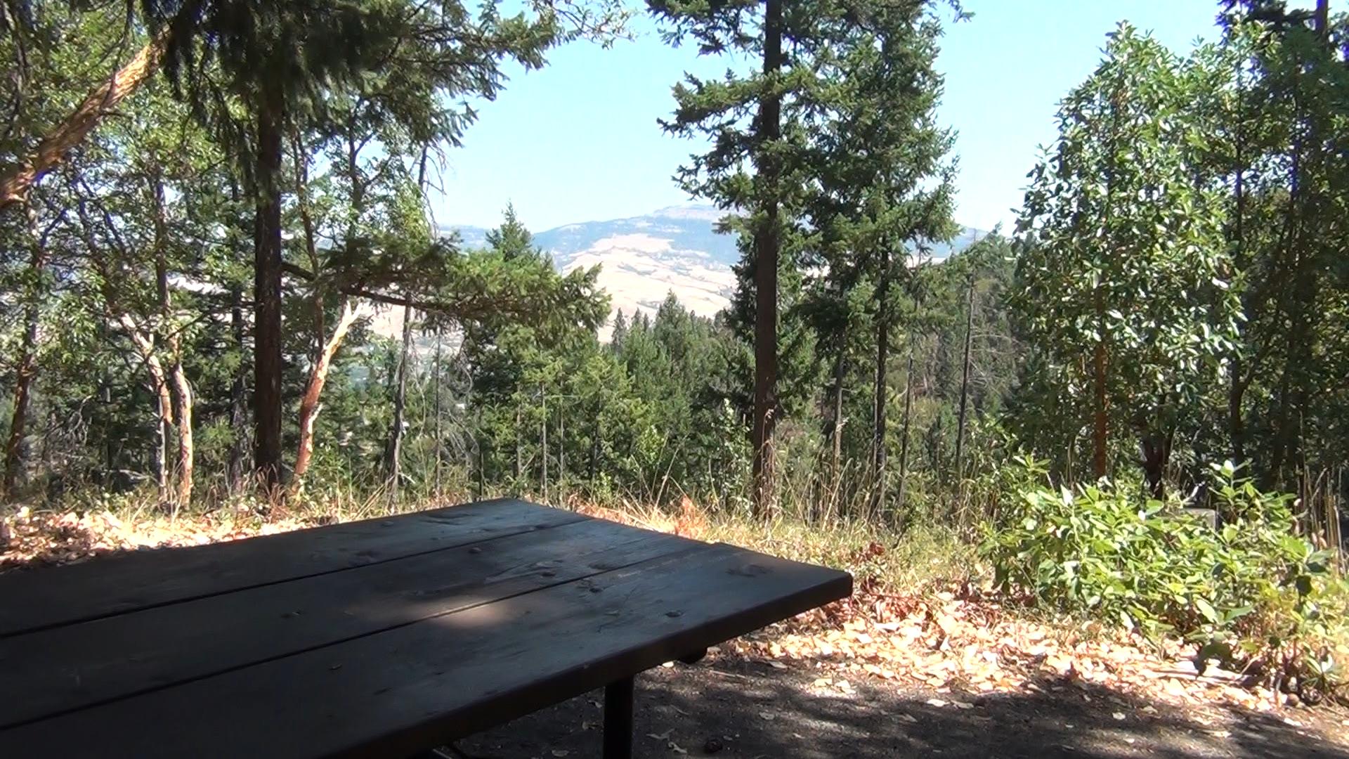
– From the parking area look for the steel pipe gate blocks the fire road. You’ll take that trail 50 yards before the official Bandersnatch takes off uphill to your left. A pleasant, winding uphill takes you to a summit in a half mile. Then downhill for a couple hundred yards. You will cross the BTI mountain bike trail and merge with the Red Queen Trail. You will split off of the Red Queen and after one total winding mile uphill you will reach the top of a ridge at the Alice in Wonderland trail.
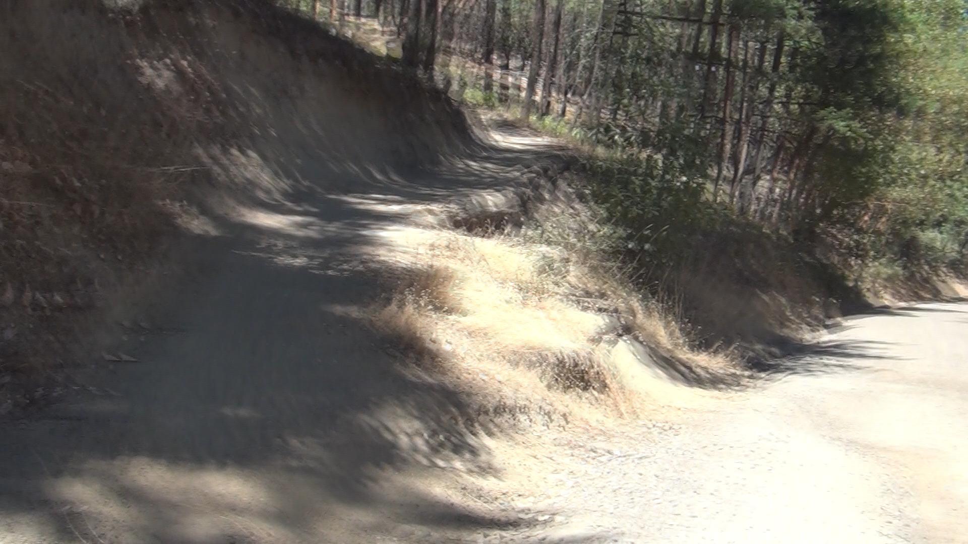
This used to be the end of Bandersnatch but a new section of trail now continues down to Ashland Loop Road. Remember, you can turn around at any time, but if you wan t to make a loop of it, continue down Ashland Loop Road. It will become paved and then, at the Crowson Reservoir that looks like a flat metal UFO, Ashalnd Loop turns into dirt again and heads down to Lithia Park. Keep an eye out to you left as you walk downhill and you’ll see a dirt trail that short cuts you back to the parking lot.
Normally, loop trails are better than out-and-back trails, but hiking on Ashland Loop Road is boring. I mean it’s Ashland boring, so it’s still nice, but hiking back on Bandersnatch is much nicer.